Dense town core
The older centre is a close network of narrow lanes. It gives the middle of the poster a concentrated, detailed texture.
Póster mapa minimalista · India
17.8989° N / 74.7522° E
A small market town on the dry Deccan plateau of Solapur district, with roads radiating out into open farmland.

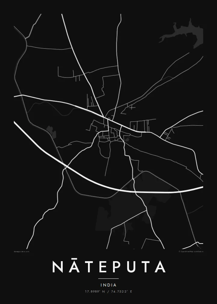
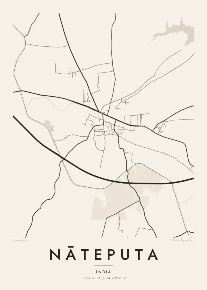
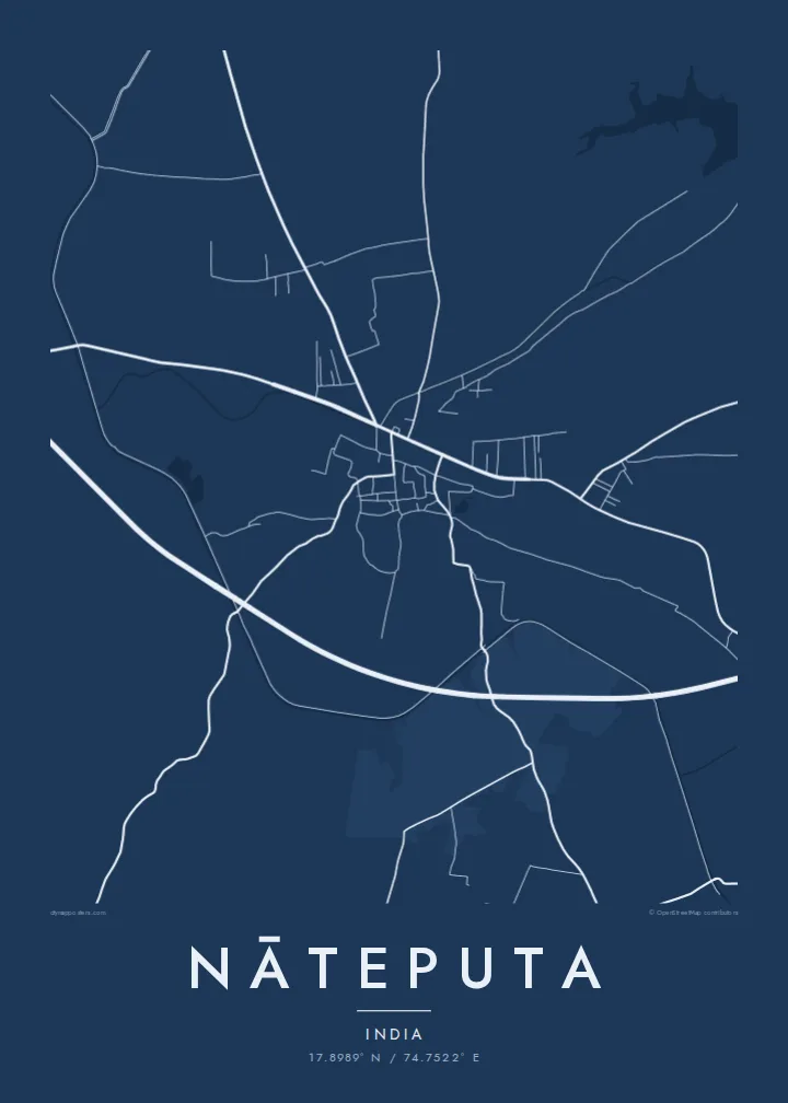
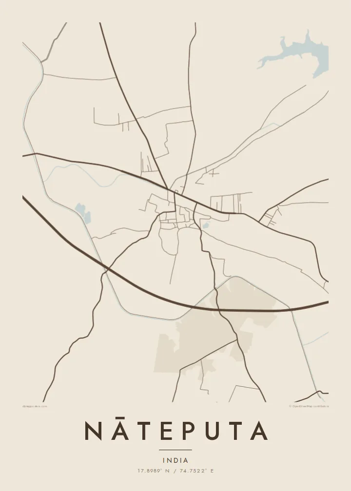
Sidade ida, estilu lima
Hili estilu ida atu haree oinsá nia sai iha didin. Estilu hotu-hotu iha folin hanesan — imprime, kaixa moldura ka arkivu HD.
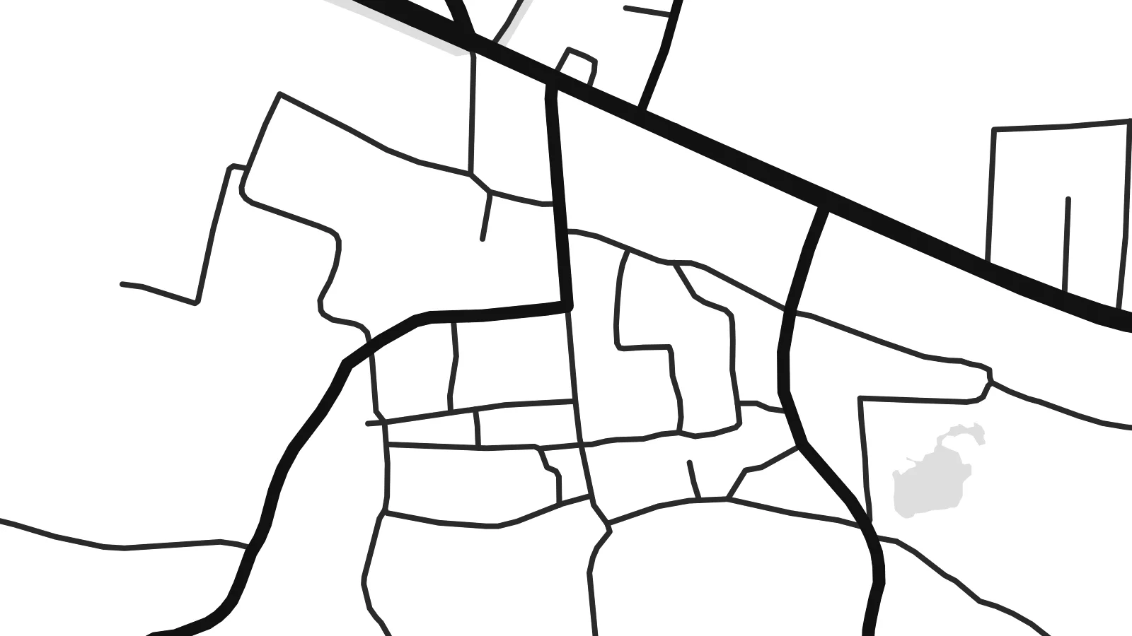 Pixel loloos · arkivu imprime 24 × 36″
Moos atu imprime
Ida ne'e mak crop 100% husi arkivu imprime loloos. Poster ida-idak — imprime, kaixa moldura ka download — ami halo iha ami-nia servidor ho 300 DPI, to'o 7,200 × 10,800 pixel, atu dalan ki'ik liu mós sai klaru iha imprime 24 × 36″.
Iha Parede


Mapa
Nāteputa, also written Natepute, is a town in the Malshiras area of Solapur district in southern Maharashtra. It lies on the Deccan plateau, in country that is mostly flat to gently rolling, with low hills in the distance. From above, the town is a compact core of dense lanes, with roads leading out across a landscape of fields and scattered farmsteads.
Like many towns in this part of Maharashtra, Nāteputa is a local centre for the surrounding villages, and its markets, schools and services draw people in from the countryside. The region has a long dry season. Farming here depends heavily on the monsoon and on irrigation, and that shapes the patchwork of fields visible around the town.
A Nāteputa map poster reduces this setting to its essentials: the tight knot of the old town, the roads connecting it to neighbouring places and the geometry of the farmland beyond. It is a modest composition, but anyone who knows the town and its roads will recognise it at once.
The older centre is a close network of narrow lanes. It gives the middle of the poster a concentrated, detailed texture.
Several roads lead from Nāteputa to nearby towns and villages. They cut long lines across the plateau and help define the overall shape of the composition.
Around the town the map is divided into fields and tracks typical of the Deccan. This quiet pattern frames the settlement without competing with it.
Halo ita-nia póster rasik
Aumenta data, naran ka liafuan rasik, troka estilu, tamañu ka orientasaun.
Preview grátis nian rezolusaun ki'ik no iha marka bee. Imprime no arkivu HD ami halo ho 300 DPI, to'o 7,200 × 10,800 px, laiha marka bee.
Tanba sa Nāteputa
For families from Nāteputa, including those who have moved to Pune, Mumbai or abroad, a map of the town is a direct link to home. It shows the actual streets people walked rather than a generic image of the region, which makes it a meaningful gift.
You can write the title, subtitle and coordinates line however you like, including a family name or a special date. Choose Classic black & white, Noir, Paper, Blueprint or Sand, then download 300 DPI PNG and PDF files for $9 and print them locally in any of six sizes.
Enkomenda poster Nāteputa| Tamañu imprime | Rezolusaun | Arkivu |
|---|---|---|
| 30 × 40 cm (11.8 × 15.7″) | 3,543 × 4,724 px | PNG · PDF |
| 29.7 × 42 cm (A3, 11.7 × 16.5″) | 3,508 × 4,961 px | PNG · PDF |
| 42 × 59.4 cm (A2, 16.5 × 23.4″) | 4,961 × 7,016 px | PNG · PDF |
| 45.7 × 61 cm (18 × 24″) | 5,400 × 7,200 px | PNG · PDF |
| 50 × 70 cm (19.7 × 27.6″) | 5,906 × 8,268 px | PNG · PDF |
| 61 × 91.4 cm (24 × 36″) | 7,200 × 10,800 px | PNG · PDF |
Atu kompara, previzaun gratuita luan 900 px, iha marka d'água no ba ekrã de'it. Arkivu HD iha rezolusaun to'o dala 8 boot liu iha direksaun ida-idak no imprime moos iha tamañu póster kompletu.
Hili estilu ida iha leten pájina, depois hili Poster Imprime — hili tamañu ida no, se hakarak, moldura ida — ka Arkivu Digital HD. Pagamentu halo iha pasu ida deit, no pájina enkomenda sei update kedas hafoin pagamentu remata.
Ami imprime iha papel matte kualidade aas 200 gsm, iha tamañu neen, husi 30 × 40 cm to'o 24 × 36″. Poster imprime hahú husi $39, haruka livre.
Bele. Hili moldura kayu solidu kór metan, mutin, oak natural ka kayu nakukun. Mai ho vidru la-kilat no prontu atu kandu iha didin. Poster ho moldura hahú husi $99, haruka livre.
Entrega gratuita ba mundu tomak. Poster ida-idak imprime husi ami-nia parseiru impresaun ne'ebé besik liu iha nasaun 30+ no normalmente to'o iha loron servisu 3–7. Ita bele haree estadu no tracking iha Ha'u-nia Pedidu. Nasaun balu foti semana 2–5, no iha nasaun ne'ebé ami seidauk entrega, sítiu hatudu ba ita molok selu.
Haruka foto ba ami iha loron 14 hafoin simu, no ami sei imprime fali ho grátis ka selu fila fali osan.
Bele. Iha editor iha pájina ne'e, troka titulu, subtitulu no liña koordenadas ba buat ne'ebé ita hakarak, depois hili estilu no tamañu. Enkomenda imprime, moldura ka digital hotu-hotu uza sasán ita-nia desain loloos.
Ho $9 ita simu arkivu PNG 300 DPI no PDF prontu-imprime iha tamañu neen hotu, laiha marka bee, atu imprime iha fatin ida-ida. Seidauk lai serteza? Download uluk preview grátis ho marka bee.
