Volcanic spine
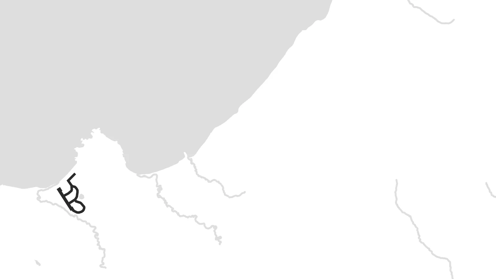
A line of peaks runs along the length of the island. The contours on the map follow this central ridge from the northern end toward the south-west.
Póster mapa minimalista · Russia
50.3840° N / 155.6849° E
A long volcanic ridge in the northern Kurils, its line of peaks running south-west from the tip of Kamchatka.


Sidade ida, estilu lima
Hili estilu ida atu haree oinsá nia sai iha didin. Estilu hotu-hotu iha folin hanesan — imprime, kaixa moldura ka arkivu HD.
 Pixel loloos · arkivu imprime 24 × 36″
Moos atu imprime
Ida ne'e mak crop 100% husi arkivu imprime loloos. Poster ida-idak — imprime, kaixa moldura ka download — ami halo iha ami-nia servidor ho 300 DPI, to'o 7,200 × 10,800 pixel, atu dalan ki'ik liu mós sai klaru iha imprime 24 × 36″.
Iha Parede


Mapa
Paramushir is one of the largest islands in the Kuril chain. It stretches from north-east to south-west just below the southern tip of Kamchatka. From above it is narrow and mountainous, with a row of volcanoes along its length, some of them still active. There are almost no roads, so the map is shaped mostly by the coastline, the terrain and the cold straits on either side.
The only town, Severo-Kurilsk, lies on the north-east coast facing the narrow Second Kuril Strait and the neighbouring island of Shumshu. Above it rises Ebeko, a volcano that erupts often and whose ash clouds can regularly be seen from the town. On a poster, the settlement is a small grid pressed between mountain slopes and the water, with open land all around it.
In 1952 a powerful tsunami struck Severo-Kurilsk, and the town was rebuilt on higher ground. That history, and the island's remote position between the Pacific and the Sea of Okhotsk, give a Paramushir map poster a stark quality: a thin line of land, a few streets, and a great deal of sea on both sides.
A line of peaks runs along the length of the island. The contours on the map follow this central ridge from the northern end toward the south-west.
The island's only town sits near the northern end, on the strait facing Shumshu. Its compact block of streets is the only dense detail on the map.
The Pacific lies on one side and the Sea of Okhotsk on the other, so the island appears as a narrow divider between two wide stretches of water.
Halo ita-nia póster rasik
Aumenta data, naran ka liafuan rasik, troka estilu, tamañu ka orientasaun.
Preview grátis nian rezolusaun ki'ik no iha marka bee. Imprime no arkivu HD ami halo ho 300 DPI, to'o 7,200 × 10,800 px, laiha marka bee.
Tanba sa Paramushir
Paramushir speaks to people drawn to the far edges of the map, and to those who served, worked or grew up in the northern Kurils. Its long, spare outline has a quiet graphic strength that suits a tall format.
You can title the poster in your own words, add a year or a date, and edit the coordinates line, then choose one of five styles. Noir and Blueprint suit the island's stark character, while Paper gives it a softer finish.
Enkomenda poster Paramushir| Tamañu imprime | Rezolusaun | Arkivu |
|---|---|---|
| 30 × 40 cm (11.8 × 15.7″) | 3,543 × 4,724 px | PNG · PDF |
| 29.7 × 42 cm (A3, 11.7 × 16.5″) | 3,508 × 4,961 px | PNG · PDF |
| 42 × 59.4 cm (A2, 16.5 × 23.4″) | 4,961 × 7,016 px | PNG · PDF |
| 45.7 × 61 cm (18 × 24″) | 5,400 × 7,200 px | PNG · PDF |
| 50 × 70 cm (19.7 × 27.6″) | 5,906 × 8,268 px | PNG · PDF |
| 61 × 91.4 cm (24 × 36″) | 7,200 × 10,800 px | PNG · PDF |
Atu kompara, previzaun gratuita luan 900 px, iha marka d'água no ba ekrã de'it. Arkivu HD iha rezolusaun to'o dala 8 boot liu iha direksaun ida-idak no imprime moos iha tamañu póster kompletu.
Hili estilu ida iha leten pájina, depois hili Poster Imprime — hili tamañu ida no, se hakarak, moldura ida — ka Arkivu Digital HD. Pagamentu halo iha pasu ida deit, no pájina enkomenda sei update kedas hafoin pagamentu remata.
Ami imprime iha papel matte kualidade aas 200 gsm, iha tamañu neen, husi 30 × 40 cm to'o 24 × 36″. Poster imprime hahú husi $39, haruka livre.
Bele. Hili moldura kayu solidu kór metan, mutin, oak natural ka kayu nakukun. Mai ho vidru la-kilat no prontu atu kandu iha didin. Poster ho moldura hahú husi $99, haruka livre.
Entrega gratuita ba mundu tomak. Poster ida-idak imprime husi ami-nia parseiru impresaun ne'ebé besik liu iha nasaun 30+ no normalmente to'o iha loron servisu 3–7. Ita bele haree estadu no tracking iha Ha'u-nia Pedidu. Nasaun balu foti semana 2–5, no iha nasaun ne'ebé ami seidauk entrega, sítiu hatudu ba ita molok selu.
Haruka foto ba ami iha loron 14 hafoin simu, no ami sei imprime fali ho grátis ka selu fila fali osan.
Bele. Iha editor iha pájina ne'e, troka titulu, subtitulu no liña koordenadas ba buat ne'ebé ita hakarak, depois hili estilu no tamañu. Enkomenda imprime, moldura ka digital hotu-hotu uza sasán ita-nia desain loloos.
Ho $9 ita simu arkivu PNG 300 DPI no PDF prontu-imprime iha tamañu neen hotu, laiha marka bee, atu imprime iha fatin ida-ida. Seidauk lai serteza? Download uluk preview grátis ho marka bee.
Besik
