Republic quarters
Each quarter was designed by a different Soviet republic and named after its capital. On the map, they appear as separate clusters, each with a distinct layout.
Póster mapa minimalista · Ukraine
51.5225° N / 30.7181° E
A planned 1980s town in a pine forest by the Dnieper, laid out in quarters designed by different Soviet republics




Sidade ida, estilu lima
Hili estilu ida atu haree oinsá nia sai iha didin. Estilu hotu-hotu iha folin hanesan — imprime, kaixa moldura ka arkivu HD.
 Pixel loloos · arkivu imprime 24 × 36″
Moos atu imprime
Ida ne'e mak crop 100% husi arkivu imprime loloos. Poster ida-idak — imprime, kaixa moldura ka download — ami halo iha ami-nia servidor ho 300 DPI, to'o 7,200 × 10,800 pixel, atu dalan ki'ik liu mós sai klaru iha imprime 24 × 36″.
Iha Parede


Mapa
Slavutych was built after the 1986 Chernobyl disaster to house workers of the nuclear plant, who had to leave Pripyat. From above, it is one of the most deliberately planned towns in Europe. Distinct neighbourhoods surround a central square and park, the whole town sits within pine forest, and a railway line links it to the plant.
Its quarters were designed and built by teams from different Soviet republics and carry the names of their capitals, such as Kyiv, Tbilisi, Vilnius and Riga. Each has its own architectural style. The town lies on the left bank of the Dnieper, and although it is part of Kyiv Oblast, the land around it borders Chernihiv Oblast.
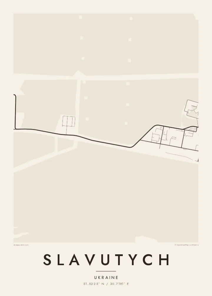
A Slavutych map poster shows how clearly this planning survives. The separate quarters form distinct clusters, each with its own street pattern, joined by green belts and wide avenues. In black and white, the surrounding forest becomes a calm field that frames the town. It is an unusual and meaningful map for anyone connected to Chernobyl's story.
Each quarter was designed by a different Soviet republic and named after its capital. On the map, they appear as separate clusters, each with a distinct layout.
The quarters are arranged around a central square and park, giving the town a clear heart. That is rare for a place so recently built.
Pine forest surrounds the whole town and leaves a wide margin between buildings and open country. The town appears as a compact island within that green belt.
Halo ita-nia póster rasik
Aumenta data, naran ka liafuan rasik, troka estilu, tamañu ka orientasaun.
Preview grátis nian rezolusaun ki'ik no iha marka bee. Imprime no arkivu HD ami halo ho 300 DPI, to'o 7,200 × 10,800 px, laiha marka bee.
Tanba sa Slavutych
Slavutych is home to many former Chernobyl plant workers and their families, and for them the town's shape carries real weight. The map also interests people who study Soviet urban planning or the history of 1986.
You can personalise the title, subtitle and coordinates line, and choose Classic black & white, Noir, Paper, Blueprint or Sand. Blueprint suits a town that began as a plan. The files arrive as 300 DPI PNG and print-ready PDF in six sizes.
Enkomenda poster Slavutych| Tamañu imprime | Rezolusaun | Arkivu |
|---|---|---|
| 30 × 40 cm11.8 × 15.7″ | 3,543 × 4,724 px | PNG · PDF |
| 29.7 × 42 cm (A3)11.7 × 16.5″ | 3,508 × 4,961 px | PNG · PDF |
| 42 × 59.4 cm (A2)16.5 × 23.4″ | 4,961 × 7,016 px | PNG · PDF |
| 45.7 × 61 cm18 × 24″ | 5,400 × 7,200 px | PNG · PDF |
| 50 × 70 cm19.7 × 27.6″ | 5,906 × 8,268 px | PNG · PDF |
| 61 × 91.4 cm24 × 36″ | 7,200 × 10,800 px | PNG · PDF |
Atu kompara, previzaun gratuita luan 900 px, iha marka d'água no ba ekrã de'it. Arkivu HD iha rezolusaun to'o dala 8 boot liu iha direksaun ida-idak no imprime moos iha tamañu póster kompletu.
Hili estilu ida iha leten pájina, depois hili Poster Imprime — hili tamañu ida no, se hakarak, moldura ida — ka Arkivu Digital HD. Pagamentu halo iha pasu ida deit, no pájina enkomenda sei update kedas hafoin pagamentu remata.
Ami imprime iha papel matte kualidade aas 200 gsm, iha tamañu neen, husi 30 × 40 cm to'o 24 × 36″. Poster imprime hahú husi $39, haruka livre.
Bele. Hili moldura kayu solidu kór metan, mutin, oak natural ka kayu nakukun. Mai ho vidru la-kilat no prontu atu kandu iha didin. Poster ho moldura hahú husi $99, haruka livre.
Entrega gratuita ba país 60+. Poster ida-idak ami-nia parseiru impresaun besik liu mak imprime iha país 30+ no normalmente to'o iha loron-servisu 3–7. Ita bele haree estatutu no rastreiu iha Ha'u-nia Enkomenda. Países balu presiza semana 2–5, no iha fatin ne'ebé ami seidauk entrega, site sei hatete ba ita molok selu.
Haruka foto ba ami iha loron 14 hafoin simu, no ami sei imprime fali ho grátis ka selu fila fali osan.
Bele. Iha editor iha pájina ne'e, troka titulu, subtitulu no liña koordenadas ba buat ne'ebé ita hakarak, depois hili estilu no tamañu. Enkomenda imprime, moldura ka digital hotu-hotu uza sasán ita-nia desain loloos.
Ho $9 ita simu arkivu PNG 300 DPI no PDF prontu-imprime iha tamañu neen hotu, laiha marka bee, atu imprime iha fatin ida-ida. Seidauk lai serteza? Download uluk preview grátis ho marka bee.
