Kaichu Doro
A long road built across shallow sea from the Katsuren Peninsula to Henza Island. On the map it is a single straight line running across open water toward the islands.
Póster mapa minimalista · Japan
26.3761° N / 127.8591° E
A city on Okinawa's eastern coast, with a peninsula, a causeway over shallow sea and a castle ruin on a ridge.


Sidade ida, estilu lima
Hili estilu ida atu haree oinsá nia sai iha didin. Estilu hotu-hotu iha folin hanesan — imprime, kaixa moldura ka arkivu HD.
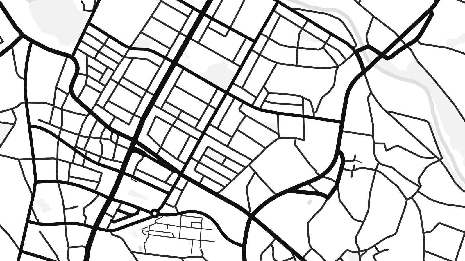 Pixel loloos · arkivu imprime 24 × 36″
Moos atu imprime
Ida ne'e mak crop 100% husi arkivu imprime loloos. Poster ida-idak — imprime, kaixa moldura ka download — ami halo iha ami-nia servidor ho 300 DPI, to'o 7,200 × 10,800 pixel, atu dalan ki'ik liu mós sai klaru iha imprime 24 × 36″.
Iha Parede


Mapa
Uruma is a city on the central east coast of Okinawa Island, formed in 2005 by merging four former municipalities. On a map, its shape is unusual. The city covers part of the main island, the long Katsuren Peninsula and several offshore islands, linked by bridges and a causeway across shallow water.
On the peninsula stand the ruins of Katsuren Castle, one of the gusuku sites listed together as a UNESCO World Heritage Site. Its stone walls climb a ridge overlooking the sea. From the peninsula, the Kaichu Doro road runs several kilometres across the sea to Henza Island, with Hamahiga and other islands beyond it.
A Uruma map poster captures a place where the coast is as important as the streets. The built-up areas follow the shoreline and gather on the main island. The peninsula reaches out into the water, and the causeway draws a thin, straight line across the sea. In black and white, the islands and reefs become strong graphic shapes.
A long road built across shallow sea from the Katsuren Peninsula to Henza Island. On the map it is a single straight line running across open water toward the islands.
The UNESCO-listed ruins of a gusuku sit on a ridge above the coast. The curving stone walls follow the hilltop and look out across the sea.
Henza, Hamahiga, Ikei and Miyagi islands lie off the peninsula, linked by roads and bridges. Their outlines spread across the eastern side of the map.
Halo ita-nia póster rasik
Aumenta data, naran ka liafuan rasik, troka estilu, tamañu ka orientasaun.
Preview grátis nian rezolusaun ki'ik no iha marka bee. Imprime no arkivu HD ami halo ho 300 DPI, to'o 7,200 × 10,800 px, laiha marka bee.
Tanba sa Uruma
Uruma's coastline, castle ruin and island roads make it a memorable part of Okinawa for residents and visitors alike. A map shows the whole shape at once, with land, sea and the causeway joining them.
Add a title and subtitle for a trip, a posting or a family connection, and adjust the coordinates. Choose from five styles, including Classic black & white, Noir and Blueprint. The water and islands look striking in each one.
Enkomenda poster Uruma| Tamañu imprime | Rezolusaun | Arkivu |
|---|---|---|
| 30 × 40 cm (11.8 × 15.7″) | 3,543 × 4,724 px | PNG · PDF |
| 29.7 × 42 cm (A3, 11.7 × 16.5″) | 3,508 × 4,961 px | PNG · PDF |
| 42 × 59.4 cm (A2, 16.5 × 23.4″) | 4,961 × 7,016 px | PNG · PDF |
| 45.7 × 61 cm (18 × 24″) | 5,400 × 7,200 px | PNG · PDF |
| 50 × 70 cm (19.7 × 27.6″) | 5,906 × 8,268 px | PNG · PDF |
| 61 × 91.4 cm (24 × 36″) | 7,200 × 10,800 px | PNG · PDF |
Atu kompara, previzaun gratuita luan 900 px, iha marka d'água no ba ekrã de'it. Arkivu HD iha rezolusaun to'o dala 8 boot liu iha direksaun ida-idak no imprime moos iha tamañu póster kompletu.
Hili estilu ida iha leten pájina, depois hili Poster Imprime — hili tamañu ida no, se hakarak, moldura ida — ka Arkivu Digital HD. Pagamentu halo iha pasu ida deit, no pájina enkomenda sei update kedas hafoin pagamentu remata.
Ami imprime iha papel matte kualidade aas 200 gsm, iha tamañu neen, husi 30 × 40 cm to'o 24 × 36″. Poster imprime hahú husi $39, haruka livre.
Bele. Hili moldura kayu solidu kór metan, mutin, oak natural ka kayu nakukun. Mai ho vidru la-kilat no prontu atu kandu iha didin. Poster ho moldura hahú husi $99, haruka livre.
Entrega gratuita ba mundu tomak. Poster ida-idak imprime husi ami-nia parseiru impresaun ne'ebé besik liu iha nasaun 30+ no normalmente to'o iha loron servisu 3–7. Ita bele haree estadu no tracking iha Ha'u-nia Pedidu. Nasaun balu foti semana 2–5, no iha nasaun ne'ebé ami seidauk entrega, sítiu hatudu ba ita molok selu.
Haruka foto ba ami iha loron 14 hafoin simu, no ami sei imprime fali ho grátis ka selu fila fali osan.
Bele. Iha editor iha pájina ne'e, troka titulu, subtitulu no liña koordenadas ba buat ne'ebé ita hakarak, depois hili estilu no tamañu. Enkomenda imprime, moldura ka digital hotu-hotu uza sasán ita-nia desain loloos.
Ho $9 ita simu arkivu PNG 300 DPI no PDF prontu-imprime iha tamañu neen hotu, laiha marka bee, atu imprime iha fatin ida-ida. Seidauk lai serteza? Download uluk preview grátis ho marka bee.
