Loch-filled east
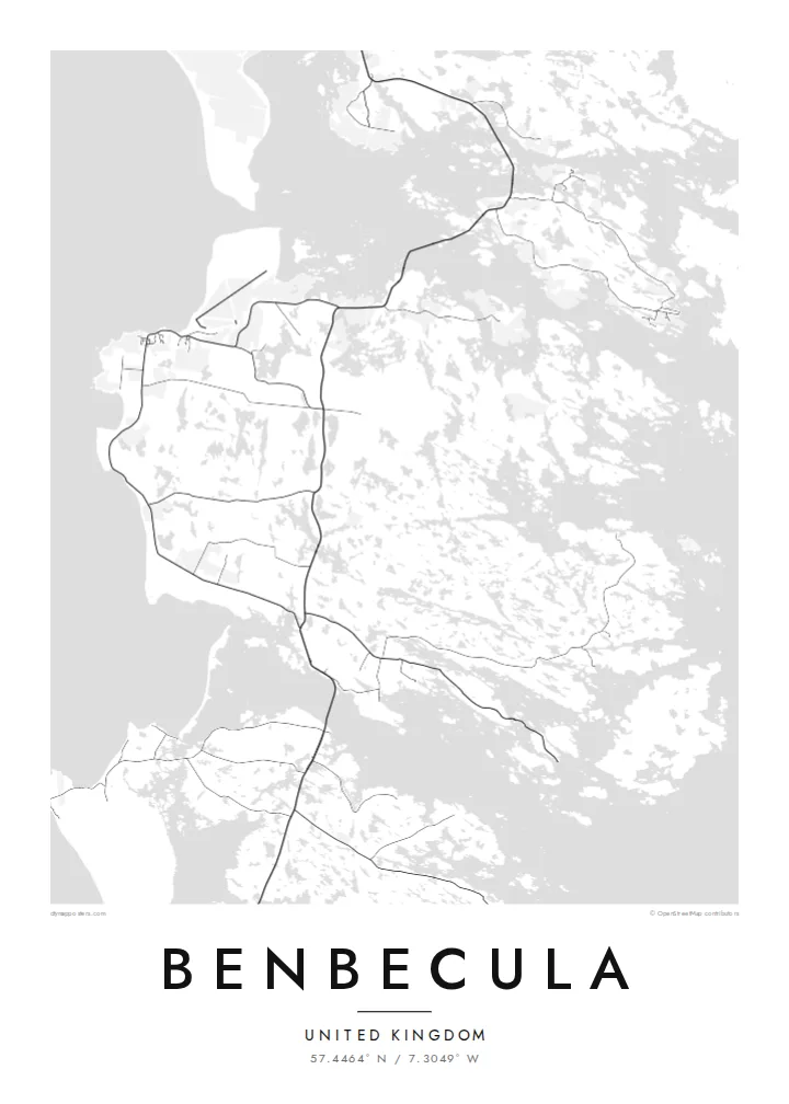
The eastern half of the island dissolves into dozens of lochs and inlets, so the map shows a dense, irregular pattern of water and narrow strips of land.
Minimalistik karta plakaty · Birleşen Patyşalyk
57.4464° N / 7.3049° W
A flat, water-riddled island between North and South Uist, more loch than land in places, joined to both by causeways.


Bir şäher, bäş keýp
Diwarda nähili görünjegini görmek üçin stile basyň. Ähli stiller bir bahadan — çap edilen, çarçuwaly ýa-da HD faýl görnüşinde.
 Hakyky pikseller · 24 × 36″ çap faýly
Çapda aýdyň
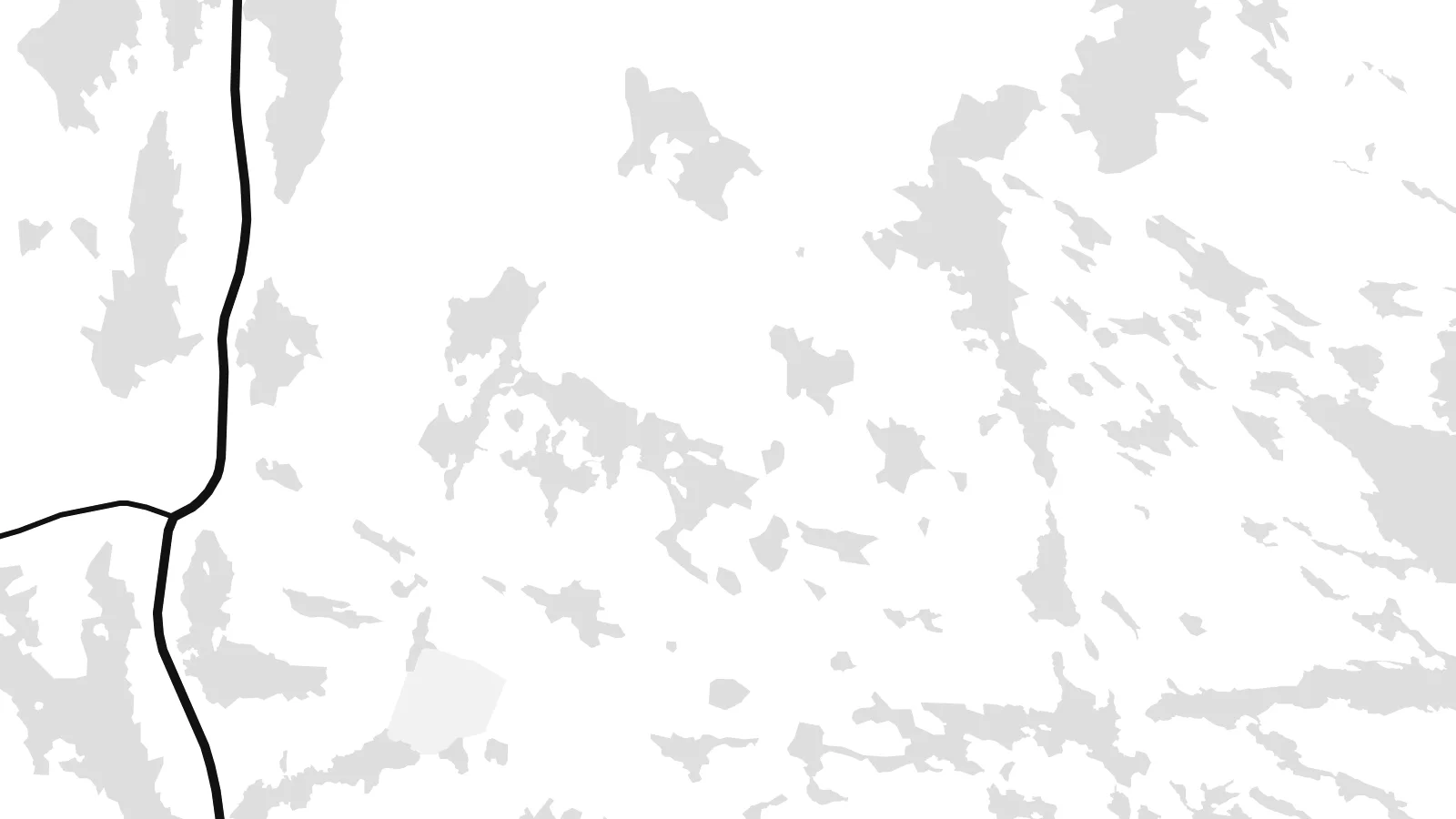
Bu hakyky çap faýlynyň 100% kesigi. Her poster — çap edilen, çarçuwaly ýa-da ýüklenen — serwerlerimizde 300 DPI, 7,200 × 10,800 piksele çenli işlenip taýýarlanýar, şonuň üçin iň kiçi köçeler hem 24 × 36″ çapda arassa görünýär.
Diwarda


Karta
Benbecula lies in the Outer Hebrides between North Uist and South Uist and is linked to both by causeways. Seen from above it is remarkably low and flat, and its surface is broken by countless lochs and lochans. This is most striking on the eastern side, where land and water are so intertwined that the shoreline is hard to trace.
The west coast is more open, with machair grassland and long sandy beaches facing the Atlantic. Balivanich, in the northwest, is the main settlement and has the island's airport and a military presence linked to the rocket range on South Uist. In 1746 Charles Edward Stuart sailed from Benbecula to Skye with Flora MacDonald, an episode remembered in the Skye Boat Song.
A Benbecula map poster turns this watery landscape into something close to lace. The lochs fill the sheet with small shapes, the main road runs north to south between the causeways, and the airfield at Balivanich adds a few firm straight lines. Few small islands offer such an intricate composition.
The eastern half of the island dissolves into dozens of lochs and inlets, so the map shows a dense, irregular pattern of water and narrow strips of land.
Causeways at the northern and southern ends carry the road toward North Uist and South Uist, drawing Benbecula into a single chain with its neighbours.
In the northwest, the runways of Benbecula Airport form a crisp geometric pattern beside the village, a rare set of straight lines on this low island.
Özüňiziňki ediň
Sene, at ýa-da öz setiriňizi goşuň, stili, ölçegi ýa-da ugry üýtgediň.
Mugt deslapky görnüş pes durulykda we suw belgili. Çaplar we HD faýllar suw belgisiz, 300 DPI, 7,200 × 10,800 px çenli işlenip taýýarlanýar.
Näme üçin Benbecula
Benbecula is loved by people who have lived there, served there or walked its beaches in all weathers. Its map is unusual enough to catch the eye on its own, and it anchors a series of Hebridean island posters well.
Edit the title, put a date or family name in the subtitle, and keep or change the coordinates. Blueprint suits the lochs particularly well, and Classic, Noir, Paper and Sand are also available. Start with the free 900 px watermarked preview, then download the six-size HD set for $9.
Benbecula posterini sargyt ediň| Çap ölçegi | Çözgüt | Faýllar |
|---|---|---|
| 30 × 40 cm (11.8 × 15.7″) | 3,543 × 4,724 px | PNG · PDF |
| 29.7 × 42 cm (A3, 11.7 × 16.5″) | 3,508 × 4,961 px | PNG · PDF |
| 42 × 59.4 cm (A2, 16.5 × 23.4″) | 4,961 × 7,016 px | PNG · PDF |
| 45.7 × 61 cm (18 × 24″) | 5,400 × 7,200 px | PNG · PDF |
| 50 × 70 cm (19.7 × 27.6″) | 5,906 × 8,268 px | PNG · PDF |
| 61 × 91.4 cm (24 × 36″) | 7,200 × 10,800 px | PNG · PDF |
Deňeşdirmek üçin: mugt nusga 900 px giňlikde, suw belgili we ekranlar üçin niýetlenen. HD faýllaryň çözgüdi her tarapa 8 esse çenli ýokary we doly plakat ölçeginde arassa çap edilýär.
Sahypanyň ýokarsyndan stili saýlaň, soňra Çap edilen Poster — ölçegini we isleseňiz çarçuwasyny — ýa-da Sanly HD Faýllary saýlaň. Töleg bir ädimde amala aşyrylýar, tölegiňiz geçen dessine sargyt sahypaňyz täzelenýär.
Ol ýokary hilli 200 gsm mat kagyza, alty ölçegiň birinde, 30 × 40 sm-den 24 × 36″-a çenli çap edilýär. Çap edilen posterler {printFrom}-dan başlaýar, eltip bermek bahasy girýär.
Hawa. Gara, ak, tebigy dub ýa-da garaňky agaç reňkinde tutuş agaç çarçuwany saýlaň. Ol döwülmeýän aýna bilen gelýär we asmaga taýýar. Çarçuwaly posterler {framedFrom}-dan başlaýar, eltip bermek bahasy girýär.
Eltip bermek dünýäniň ähli ýerinde mugt. Her poster 30-dan gowrak ýurtdaky çap hyzmatdaşlarymyzyň iň ýakynynda çap edilýär we adatça 3–7 iş gününde gelýär. Ýagdaýyny we yzarlamany Sargytlarym bölüminde görüp bilersiňiz.
Eltilenden soň 14 günüň dowamynda bize surat iberiň, biz ony mugt gaýtadan çap ederis ýa-da puluňyzy yzyna gaýtararys.
Hawa. Bu sahypadaky redaktorda ady, kiçi ady we koordinatlar setirini islän zadyňyza üýtgediň, soňra stil we ölçeg saýlaň. Çap edilen, çarçuwaly we sanly sargytlaryň ählisi siziň dizaýnyňyzy takyk ulanýar.
$9 üçin ähli alty ölçegde, suw belgisiz, islendik ýerde çap edip bolýan 300 DPI PNG we çap etmäge taýyn PDF faýllaryny alýarsyňyz. Entek gutarnykly karara gelmediňizmi? Ilki mugt, suw belgili deslapky görnüşi göçürip alyň.
Golaýda
