Canal de Santa Cruz
This narrow tidal channel wraps the island's western side and separates it from the mainland. On paper it becomes a thin, winding line of water edged by the irregular outline of the mangroves.
Pousita mape faigofie · Brazil
7.7478° S / 34.8256° W
An island separated from the Pernambuco mainland by a narrow mangrove channel, with a ragged Atlantic shoreline of beaches and sandbars.


Taone e tasi, lagona e lima
Pau te tapaki o se style ke lavea i luga i te puipui. E tutasi te tau o style takitasi — telotele mo faaki, e aunoa io me fai ki faila HD.
 Pixel tonu · faila lolomi 24 × 36″
Manino ki te lomiga
Tenei se 100% mai te faila lolomi tonu. Poster takitasi — telotele, faaki io me download — e faite i luga i a matou server i te 300 DPI, e oko atu ki 7,200 × 10,800 pixel, ko ala e maofio ei mo maiga vaega foliki i luga i te lolomi 24 × 36″.
I te pakitala


Te mape
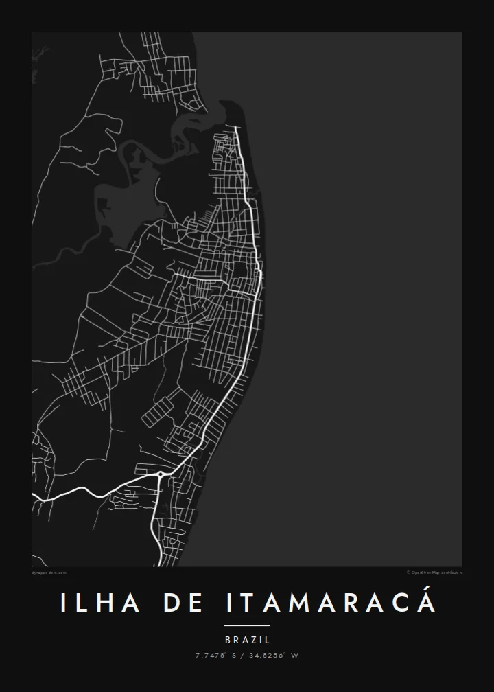
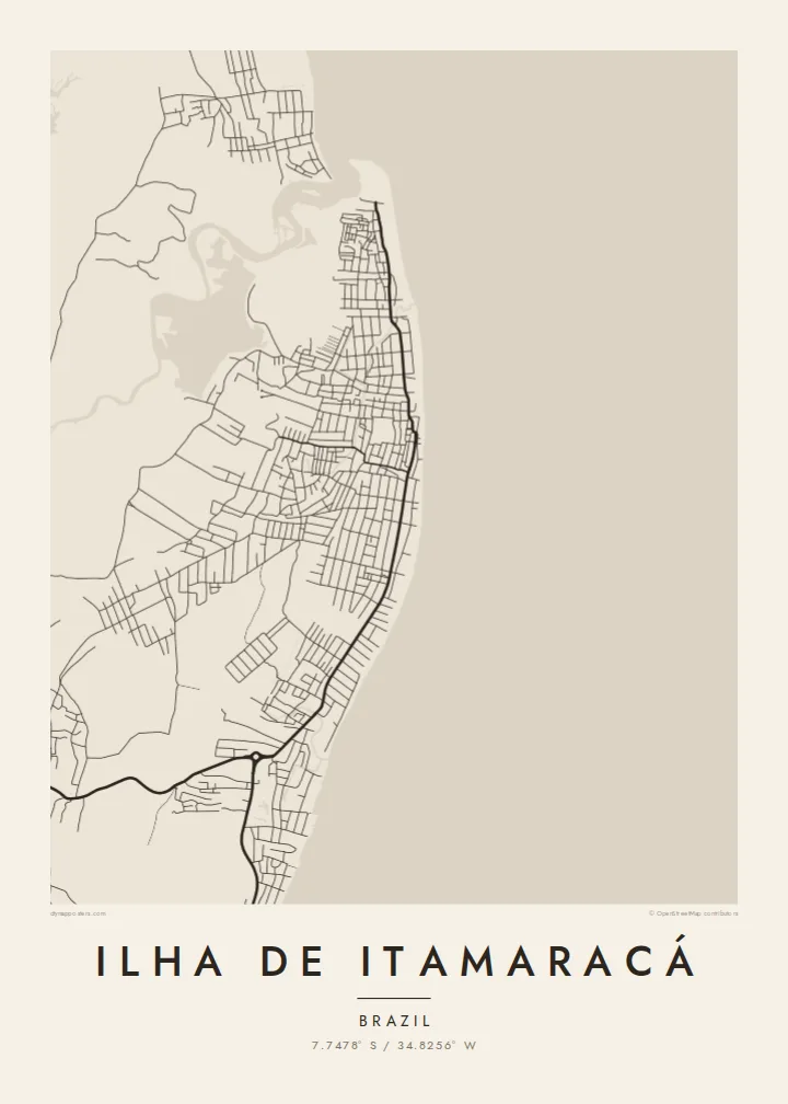
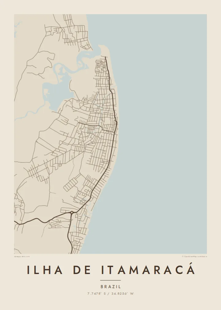
Ilha de Itamaracá lies just north of Recife. The Canal de Santa Cruz, a slim tidal channel lined with mangroves, cuts it off from the mainland. On a map the island reads as a rounded, irregular shape, and one road bridge links it to the continent at Itapissuma. The eastern edge faces the open Atlantic. The western edge dissolves into the soft, branching lines of estuary and swamp.
The settlement is spread thinly along the coast rather than packed into one centre. Beachfront streets follow the curve of the shore, and a few roads cut inland through palms and scrubland. Vila Velha is one of the oldest colonial settlements in Brazil and sits on higher ground. At the southern tip stands Forte Orange, a star-shaped fort begun by the Dutch in the seventeenth century.
A Ilha de Itamaracá map poster keeps that relationship between land and water in view. The coastline carries most of the drawing, the channel supplies a fine inner contour, and the few streets add a light, open texture. Offshore, the Coroa do Avião sandbank shows at low tide as a small pale sliver, and it gives the composition an unexpected accent.
This narrow tidal channel wraps the island's western side and separates it from the mainland. On paper it becomes a thin, winding line of water edged by the irregular outline of the mangroves.
At the southern end, the star-shaped Dutch fort shows up as a small geometric form next to the water. It is one of the most distinctive shapes anywhere on this coastline.
Along the eastern shore the streets follow the beaches in long, slightly bent lines. They trace the island's outer edge more than they form a grid.
Fai ke fakatau ki a koe
Fakaopoopo se aso, se igoa io me se fuaiupu o koe, sui te sitaila, te lasi io me te tuuga.
Te preview fua e maulalo te malamalama kae iai se watermark. Poster telotele mo faila HD e faite i te 300 DPI, e oko atu ki 7,200 × 10,800 px, aunoa mo se watermark.
Kaia a Ilha de Itamaracá
Some people know Itamaracá from weekend trips out of Recife, from childhood holidays, or from boat rides to the sandbank. For them, the island's outline is instantly recognisable. A poster turns it into a quiet reminder of salt air and slow afternoons, drawn only in line and shape.
You can personalise the title, subtitle and coordinates line with a family name, a date or the name of a beach. Choose from five styles: Classic black & white, Noir, Paper, Blueprint or Sand. Download the HD files for $9, or order a matte print with an optional wooden frame.
Otaina te poster Ilha de Itamaracá| Lasi o te lomiga | Manino | Faila |
|---|---|---|
| 30 × 40 cm11.8 × 15.7″ | 3,543 × 4,724 px | PNG · PDF |
| 29.7 × 42 cm (A3)11.7 × 16.5″ | 3,508 × 4,961 px | PNG · PDF |
| 42 × 59.4 cm (A2)16.5 × 23.4″ | 4,961 × 7,016 px | PNG · PDF |
| 45.7 × 61 cm18 × 24″ | 5,400 × 7,200 px | PNG · PDF |
| 50 × 70 cm19.7 × 27.6″ | 5,906 × 8,268 px | PNG · PDF |
| 61 × 91.4 cm24 × 36″ | 7,200 × 10,800 px | PNG · PDF |
Ke fakatusa, a te ata fakataitai fua e 900 px te lautele, mo te fakailoga kae mo lau lavea i luga i te komipiuta. A faila HD e oko ki te 8× te manino i itu katoa kae lomi faka‵lei i te lasi katoa o te pousita.
Filifili se style i te pito i luga o te itulau, kae filifili Poster Telotele — se lasi mo se faaki manafai e manako koe — io me Faila Digital HD. E tasi te sitepu mo te checkout, kae ka fakafou te itulau o tau ota i te taimi e mafai ei te totogi.
E telotele i luga o te pepa vali gali 200 gsm i se tasi mai lasi e ono, mai te 30 × 40 cm ki te 24 × 36″. E kamata te poster telotele mai i te $39, kae aofia ei te uta.
Ioe. Filifili se faaki lakau maoli i te kulokula, tea, oak maoli io me lakau pogisa. E oo mai ki tioata e se malepe kae toka ke tautau. E kamata te poster faaki mai i te $99, kae aofia ei te uta.
E tuku fua ki fenua e 60+. A poloaiga taki tasi e ta ne te tauhaga e latalata mai i a matou tauhaga ta i fenua e 30+, kae e masani o aunoa i aso galue e 3–7. E mafai o salasala te tulaga mo te sukesuke i lalo o Aku poloaiga. I nisi fenua e 2–5 vaiaso, kae i mea e seki tuku atu ei matou, e fakailoa atu e te mea tafaoga i mua o te totogi.
Auina mai se ata i loto i te 14 aso mai te taimi e oko ei kae ka toe telotele fua ne matou io me toe totogi atu tau tupe.
Ioe. I te editor i te itulau tenei, sui te ulutala, te ulutala lalo mo te laina o coordinate ki so se mea e manako koe, kae filifili se style mo se lasi. Oga telotele, faaki mo digital e faigana katoa i tau tusiga tonu.
Mo te $9 ka maua ne koe faila PNG 300 DPI mo PDF fakatoka lolomi i lasi e ono katoa, aunoa mo se watermark, ke lolomi i so se koga. E se mautinoa koe? Download muamua se preview fua e iai te watermark.
Koga pili
