The Plateau
A small peninsula of regular streets and high-rise buildings, the densest part of the map, surrounded almost entirely by lagoon water and linked southward by bridges.
Qeeqabak kaartah poster · Côte d’Ivoire
5.3544° N / 4.0017° W
A city spread around the branching Ébrié Lagoon, its districts linked by bridges and separated from the Atlantic by a sandbar.


Inki magaala, konoy gaba
Qande inkih tibbixeeh derre baguley table. Kulli qande missoowa caagid—daabbisimta, dirbaabu-le kaadu HD fayla akah.
 Cagalah pixels · 24 × 36″ daabbi fayla
Maxxaacah qeeqa
Tama usuk cagalah daabbi faylak 100% qambaala. Kulli poster — daabbisimta, dirbaabu-le kaadu download geytimta — ni-server-ittal 300 DPI-l ederimta, 7,200 × 10,800 pixels fanah, tokkel iyyi ellee catoy 24 × 36″ daabbi baxsi bahisak raaqu.
Gidarih


Kaarta
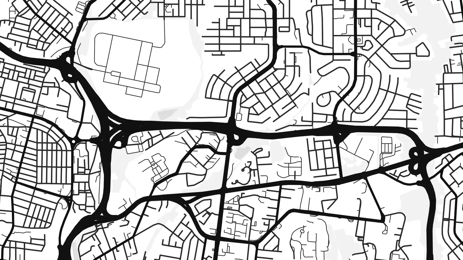
Abidjan is defined by water. The Ébrié Lagoon cuts deep inlets and bays into the land, so the city's districts sit on peninsulas and islands joined by bridges. A long coastal sandbar separates the lagoon from the Atlantic, and on the map the whole city seems arranged around the shapes of the lagoon rather than around a single centre.
The Plateau, the business district, occupies a compact peninsula of towers and a clear grid, facing Treichville on the island of Petit-Bassam across the water. The Vridi Canal, opened in 1951, cuts through the sandbar to let ships reach the lagoon, and it turned Abidjan into one of the main ports of West Africa.
Abidjan was the capital of Ivory Coast until 1983, when the role passed to Yamoussoukro, but it remains the country's economic centre. An Abidjan map poster also shows Banco National Park, a large area of forest preserved within the city, and the residential hills of Cocody along the lagoon shore.
A small peninsula of regular streets and high-rise buildings, the densest part of the map, surrounded almost entirely by lagoon water and linked southward by bridges.
A straight artificial channel cutting through the coastal sandbar, connecting the lagoon to the ocean and giving the port its access to the Atlantic.
A wide block of protected tropical forest on the western side of the city, appearing on the map as a large quiet space among the surrounding neighbourhoods.
Kok tanim ab
Ayro, migaq hinnay kok tan xagar osis; gaba, ballaqa hinnay xiqa soorris.
Free preview qansarissi kee watermark-le. Daabbisimtaan kee HD fayla 300 DPI-l, 7,200 × 10,800 px fanah, watermark maleh ederimta.
Macah Abidjan
Abidjan's map is unusual and memorable, all bays, peninsulas and bridges. It speaks to people who live there, to those who grew up there and moved abroad, and to anyone who has spent time in the city and wants something personal rather than a generic print.
The title, subtitle and coordinates line are yours to edit, so you can add a district, a family name or a date. Choose one of five styles, from crisp Classic black & white to soft Sand. HD files are $9, and printed posters ship from partners in 30+ countries.
Abidjan poster orme| Maxxaacah ballaqa | Qeeqa | Faylal |
|---|---|---|
| 30 × 40 cm (11.8 × 15.7″) | 3,543 × 4,724 px | PNG · PDF |
| 29.7 × 42 cm (A3, 11.7 × 16.5″) | 3,508 × 4,961 px | PNG · PDF |
| 42 × 59.4 cm (A2, 16.5 × 23.4″) | 4,961 × 7,016 px | PNG · PDF |
| 45.7 × 61 cm (18 × 24″) | 5,400 × 7,200 px | PNG · PDF |
| 50 × 70 cm (19.7 × 27.6″) | 5,906 × 8,268 px | PNG · PDF |
| 61 × 91.4 cm (24 × 36″) | 7,200 × 10,800 px | PNG · PDF |
Tabbaltah, limo-wayta xaqqa-le ablo 900 px ballaqa le, asta le, iskiriinih keh tan. HD faylal gexsoh inkih addal 8× fanah qeeqa le, poster ballaqa inkih addal meqeh maxxaacimta.
Baxxaqqa qari le qandiy dooriy, tohuk lakal Daabbisimtah Poster — kutuk kee, faxximek, dirbaabu — hinnay HD Digital Fayla dooru. Checkout inki wagitti geytima, kaadu ku-orme page keenih adissa akke waqdi caagoy kummite.
Usuk 200 gsm-le catam kutuk warqatal, lica katiy caagitte $39-ik hane ayta 30 × 40 cm-ik 24 × 36″ fanah, xaagu keenil warreeh.
Ee. Sarrah-le dirbaabu doori — bad, gudduc, oak-le hinnay bad-madabuy. Usuk finqisiimam ellee sange qarab-le kaadu qari umukku iyya keenih taagu. Dirbaabu-le poster $99-ik hane, xaagu keenil warreeh.
Shipping is free worldwide. Each poster is printed by the nearest of our print partners in 30+ countries and usually arrives in 3–7 business days. You can follow the status and tracking under My Orders. A few countries take 2–5 weeks, and where we don't ship yet, the site tells you before you pay.
Geytimeek 14 ayróy addal foto naah rubbaay, cisab-le daabbisiynah hinnay ku-lacay gacisnaah.
Ee. Tama page-l edito addal, migaaq, subtitle kee coordinates sarrah faxxem fanah badal, kaadu qande kee katiy doori. Daabbisimtah, dirbaabu-le kaadu digital orme inkih ku-design cagalah yekkelen.
$9 bacisak 300 DPI PNG kee daabbisimtah adissime PDF fayla lica katiy inkih, watermark maleh, ayyi meki daabbisimtah geeytitta. Cisab makkoysemty ana? Awqak, watermark-le free preview download-eh.
Xayyo
