The Tiber bends
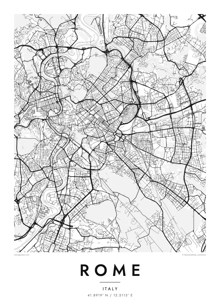
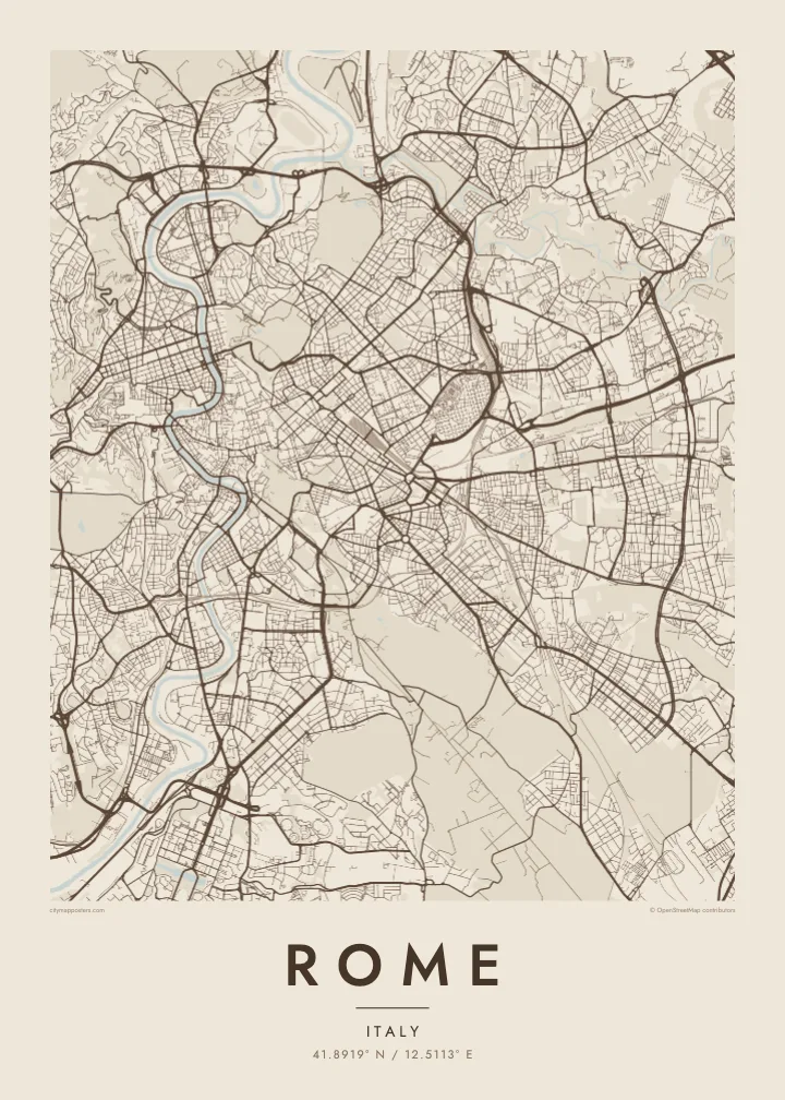
The river crosses the city in a series of S-shaped curves, spanned by bridges from Roman to modern times, with Tiber Island sitting in the current like a stone boat.
Qeeqabak kaartah poster · Italy
41.8919° N / 12.5113° E
A river bending in slow S-curves past seven hills, with ancient roads fanning out from the centre toward every horizon.
Inki magaala, konoy gaba
Qande inkih tibbixeeh derre baguley table. Kulli qande missoowa caagid—daabbisimta, dirbaabu-le kaadu HD fayla akah.
 Cagalah pixels · 24 × 36″ daabbi fayla
Maxxaacah qeeqa
Tama usuk cagalah daabbi faylak 100% qambaala. Kulli poster — daabbisimta, dirbaabu-le kaadu download geytimta — ni-server-ittal 300 DPI-l ederimta, 7,200 × 10,800 pixels fanah, tokkel iyyi ellee catoy 24 × 36″ daabbi baxsi bahisak raaqu.
Gidarih


Kaarta
Rome grew from the hills beside the Tiber, and its street map still follows the landscape rather than a plan. The river loops through the city in a series of broad bends, curling around the Campo Marzio, where the Pantheon and Piazza Navona sit in a dense mesh of narrow streets. Just downstream, Tiber Island divides the current at one of the oldest crossing points of the river.
Traces of the ancient city remain legible from above. The Aurelian Walls still enclose much of the historic centre, the long open oval of the Circus Maximus lies between the Palatine and the Aventine, and the Colosseum marks an unmistakable ellipse. Across the river, Vatican City forms its own walled state, the smallest in the world, with St Peter's Square opening toward the Tiber.
Later popes and planners added straight lines to the tangle. From Piazza del Popolo, three streets fan south in a trident, with Via del Corso running straight to Piazza Venezia. Beyond the walls, the Grande Raccordo Anulare rings the city, and consular roads such as the Via Appia head outward. A Rome map poster shows every layer at once, from antiquity to the ring road.
The river crosses the city in a series of S-shaped curves, spanned by bridges from Roman to modern times, with Tiber Island sitting in the current like a stone boat.
Via di Ripetta, Via del Corso and Via del Babuino leave the northern gate of the old city in three straight lines, a Renaissance and Baroque gesture that still organises the centre.
The world's smallest independent state sits inside its own walls on the west bank of the Tiber, with the keyhole shape of St Peter's Square clearly visible even at poster scale.
Kok tanim ab
Ayro, migaq hinnay kok tan xagar osis; gaba, ballaqa hinnay xiqa soorris.
Free preview qansarissi kee watermark-le. Daabbisimtaan kee HD fayla 300 DPI-l, 7,200 × 10,800 px fanah, watermark maleh ederimta.
Macah Rome
Rome is a city people return to, often for reasons they cannot quite explain. Its map suits a honeymoon, a semester spent studying art, a family link to a particular quarter, or simply the memory of walking from one piazza to the next until the light turned gold.
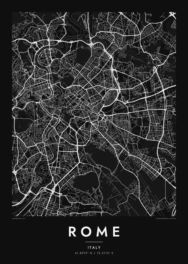
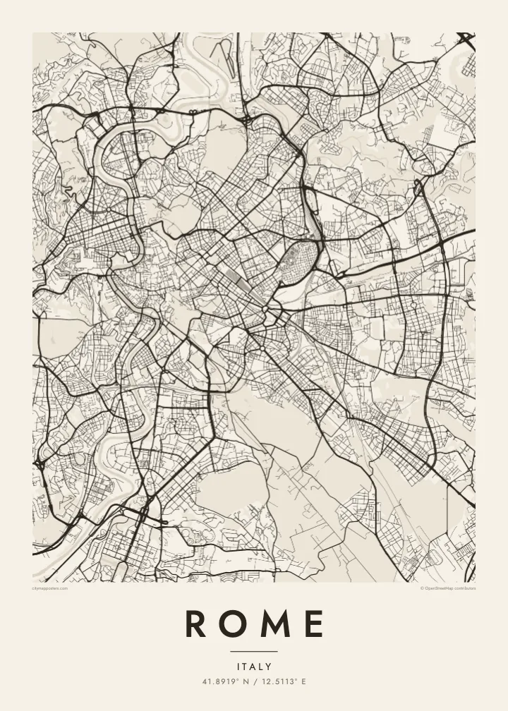
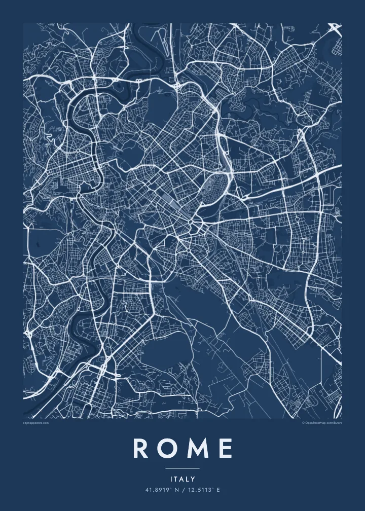
Give the poster a title and date of your own, such as a neighbourhood, a name or the year of the trip, and choose from five styles: Classic black & white, Noir, Paper, Blueprint or Sand. Paper and Sand suit the warm stone of the city especially well.
Rome poster orme| Maxxaacah ballaqa | Qeeqa | Faylal |
|---|---|---|
| 30 × 40 cm (11.8 × 15.7″) | 3,543 × 4,724 px | PNG · PDF |
| 29.7 × 42 cm (A3, 11.7 × 16.5″) | 3,508 × 4,961 px | PNG · PDF |
| 42 × 59.4 cm (A2, 16.5 × 23.4″) | 4,961 × 7,016 px | PNG · PDF |
| 45.7 × 61 cm (18 × 24″) | 5,400 × 7,200 px | PNG · PDF |
| 50 × 70 cm (19.7 × 27.6″) | 5,906 × 8,268 px | PNG · PDF |
| 61 × 91.4 cm (24 × 36″) | 7,200 × 10,800 px | PNG · PDF |
Tabbaltah, limo-wayta xaqqa-le ablo 900 px ballaqa le, asta le, iskiriinih keh tan. HD faylal gexsoh inkih addal 8× fanah qeeqa le, poster ballaqa inkih addal meqeh maxxaacimta.
Baxxaqqa qari le qandiy dooriy, tohuk lakal Daabbisimtah Poster — kutuk kee, faxximek, dirbaabu — hinnay HD Digital Fayla dooru. Checkout inki wagitti geytima, kaadu ku-orme page keenih adissa akke waqdi caagoy kummite.
Usuk 200 gsm-le catam kutuk warqatal, lica katiy caagitte {printFrom}-ik hane ayta 30 × 40 cm-ik 24 × 36″ fanah, xaagu keenil warreeh.
Ee. Sarrah-le dirbaabu doori — bad, gudduc, oak-le hinnay bad-madabuy. Usuk finqisiimam ellee sange qarab-le kaadu qari umukku iyya keenih taagu. Dirbaabu-le poster {framedFrom}-ik hane, xaagu keenil warreeh.
Xaagu addunyal inkih cisab-le. Kulli poster 30+ ummattak ni-daabbi-mara mananih xayyoysa kaadu 3–7 caagu-ayróh fanah geeytima. Ku-orme kee xaagu tarikiy My Orders addal ablitta.
Geytimeek 14 ayróy addal foto naah rubbaay, cisab-le daabbisiynah hinnay ku-lacay gacisnaah.
Ee. Tama page-l edito addal, migaaq, subtitle kee coordinates sarrah faxxem fanah badal, kaadu qande kee katiy doori. Daabbisimtah, dirbaabu-le kaadu digital orme inkih ku-design cagalah yekkelen.
$9 bacisak 300 DPI PNG kee daabbisimtah adissime PDF fayla lica katiy inkih, watermark maleh, ayyi meki daabbisimtah geeytitta. Cisab makkoysemty ana? Awqak, watermark-le free preview download-eh.
