The Kniepsand
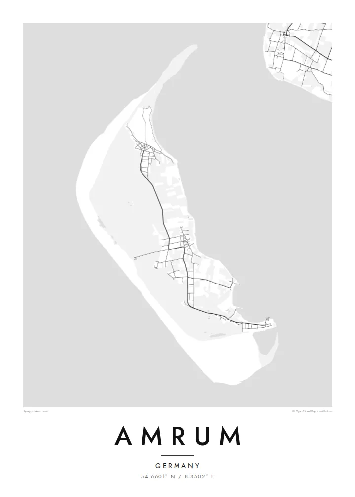
A huge sand plain along the western shore, over a kilometre wide in places. On the map it forms a broad pale margin between the dunes and the open North Sea.
Qeeqabak kaartah poster · Germany
54.6601° N / 8.3502° E
A slim North Frisian island edged on its seaward side by a vast plain of sand, with dunes and villages behind


Inki magaala, konoy gaba
Qande inkih tibbixeeh derre baguley table. Kulli qande missoowa caagid—daabbisimta, dirbaabu-le kaadu HD fayla akah.
 Cagalah pixels · 24 × 36″ daabbi fayla
Maxxaacah qeeqa
Tama usuk cagalah daabbi faylak 100% qambaala. Kulli poster — daabbisimta, dirbaabu-le kaadu download geytimta — ni-server-ittal 300 DPI-l ederimta, 7,200 × 10,800 pixels fanah, tokkel iyyi ellee catoy 24 × 36″ daabbi baxsi bahisak raaqu.
Gidarih


Kaarta
Amrum lies in the Wadden Sea off Germany's North Sea coast, between the larger islands of Sylt and Föhr. It is long and narrow, running north to south. From above it divides clearly into bands: on the west a very wide sand flat, then a belt of dunes, then woodland and heath, and finally the eastern side where the villages and harbour face the tidal flats.
The Kniepsand, the broad sand bank along the west coast, is the island's defining feature and one of the widest beaches in Europe. Amrum's tall lighthouse stands among the dunes in the south. The island's villages, among them Wittdün, Nebel and Norddorf, line up along a single road that runs almost the full length of the island.
An Amrum map poster shows these layers as distinct textures: the empty sweep of the Kniepsand, the tangled paths of the dunes, and the neat street patterns of the villages. The surrounding Wadden Sea, part of a UNESCO World Heritage site, frames the island with shallows and tidal channels that shift in outline from year to year.
A huge sand plain along the western shore, over a kilometre wide in places. On the map it forms a broad pale margin between the dunes and the open North Sea.
Behind the beach, a band of high dunes runs most of the island's length. Footpaths and boardwalks thread through it, drawing fine, meandering lines on the map.
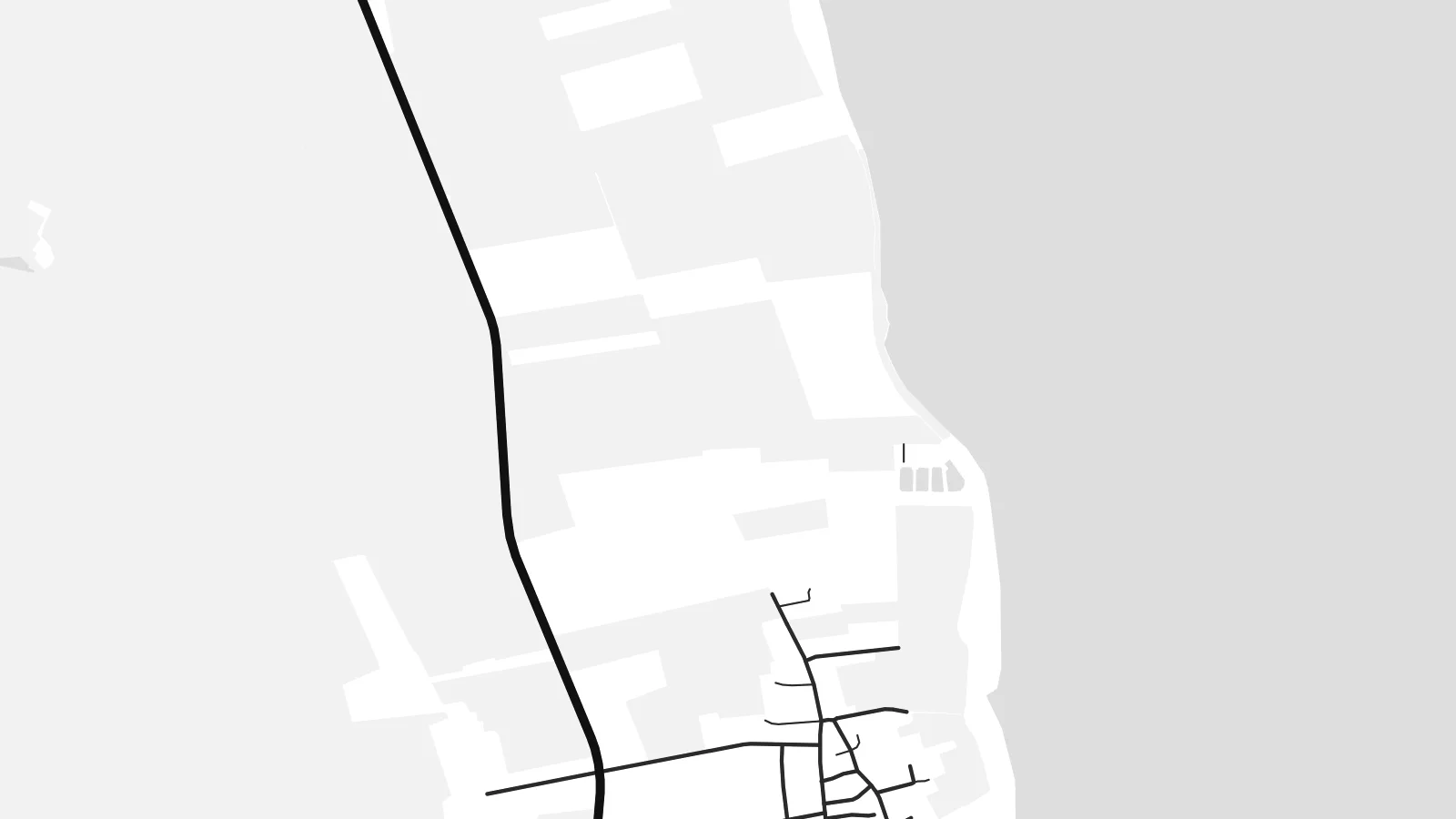
The island's small villages sit along a single north–south road on the eastern side. Each appears as a compact cluster of streets facing the tidal flats.
Kok tanim ab
Ayro, migaq hinnay kok tan xagar osis; gaba, ballaqa hinnay xiqa soorris.
Free preview qansarissi kee watermark-le. Daabbisimtaan kee HD fayla 300 DPI-l, 7,200 × 10,800 px fanah, watermark maleh ederimta.
Macah Amrum
Amrum is a family island for many Germans, returned to summer after summer. A poster keeps the long shape of the place and the memory of the walk across the Kniepsand at home.
The title, subtitle and coordinates can carry your village, holiday cottage or the years you went. Blueprint suits the tidal channels of the Wadden Sea, and Paper gives the dunes and beach a light, natural feel.
Amrum poster orme| Maxxaacah ballaqa | Qeeqa | Faylal |
|---|---|---|
| 30 × 40 cm (11.8 × 15.7″) | 3,543 × 4,724 px | PNG · PDF |
| 29.7 × 42 cm (A3, 11.7 × 16.5″) | 3,508 × 4,961 px | PNG · PDF |
| 42 × 59.4 cm (A2, 16.5 × 23.4″) | 4,961 × 7,016 px | PNG · PDF |
| 45.7 × 61 cm (18 × 24″) | 5,400 × 7,200 px | PNG · PDF |
| 50 × 70 cm (19.7 × 27.6″) | 5,906 × 8,268 px | PNG · PDF |
| 61 × 91.4 cm (24 × 36″) | 7,200 × 10,800 px | PNG · PDF |
Tabbaltah, limo-wayta xaqqa-le ablo 900 px ballaqa le, asta le, iskiriinih keh tan. HD faylal gexsoh inkih addal 8× fanah qeeqa le, poster ballaqa inkih addal meqeh maxxaacimta.
Baxxaqqa qari le qandiy dooriy, tohuk lakal Daabbisimtah Poster — kutuk kee, faxximek, dirbaabu — hinnay HD Digital Fayla dooru. Checkout inki wagitti geytima, kaadu ku-orme page keenih adissa akke waqdi caagoy kummite.
Usuk 200 gsm-le catam kutuk warqatal, lica katiy caagitte {printFrom}-ik hane ayta 30 × 40 cm-ik 24 × 36″ fanah, xaagu keenil warreeh.
Ee. Sarrah-le dirbaabu doori — bad, gudduc, oak-le hinnay bad-madabuy. Usuk finqisiimam ellee sange qarab-le kaadu qari umukku iyya keenih taagu. Dirbaabu-le poster {framedFrom}-ik hane, xaagu keenil warreeh.
Xaagu addunyal inkih cisab-le. Kulli poster 30+ ummattak ni-daabbi-mara mananih xayyoysa kaadu 3–7 caagu-ayróh fanah geeytima. Ku-orme kee xaagu tarikiy My Orders addal ablitta.
Geytimeek 14 ayróy addal foto naah rubbaay, cisab-le daabbisiynah hinnay ku-lacay gacisnaah.
Ee. Tama page-l edito addal, migaaq, subtitle kee coordinates sarrah faxxem fanah badal, kaadu qande kee katiy doori. Daabbisimtah, dirbaabu-le kaadu digital orme inkih ku-design cagalah yekkelen.
$9 bacisak 300 DPI PNG kee daabbisimtah adissime PDF fayla lica katiy inkih, watermark maleh, ayyi meki daabbisimtah geeytitta. Cisab makkoysemty ana? Awqak, watermark-le free preview download-eh.
Xayyo
