Southern isthmus
A thin strip of land joins the main island to the Bukit peninsula, and the airport runway reaches out into the water beside it. It is the most recognisable detail of Bali's outline.
Qeeqabak kaartah poster · Indonesia
8.4558° S / 115.0715° E
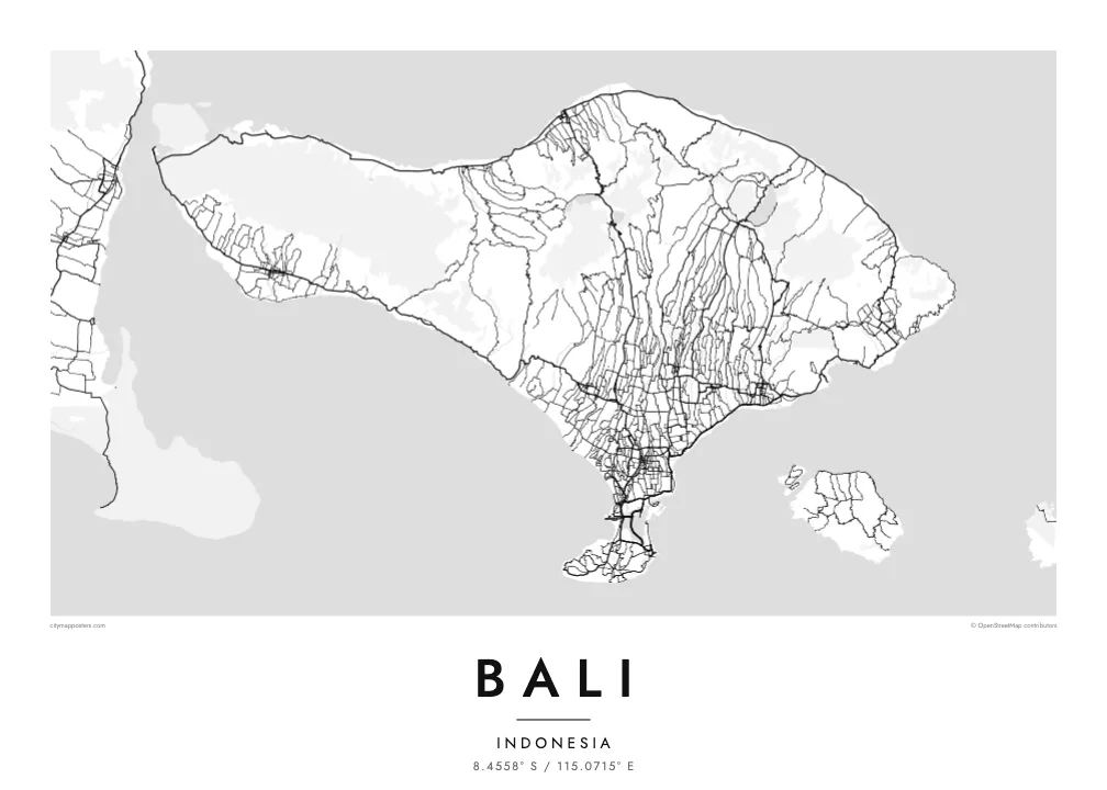
A wide volcanic island with a chain of peaks across its north, terraced slopes below and a peninsula hanging from the south.

Inki magaala, konoy gaba
Qande inkih tibbixeeh derre baguley table. Kulli qande missoowa caagid—daabbisimta, dirbaabu-le kaadu HD fayla akah.
 Cagalah pixels · 24 × 36″ daabbi fayla
Maxxaacah qeeqa
Tama usuk cagalah daabbi faylak 100% qambaala. Kulli poster — daabbisimta, dirbaabu-le kaadu download geytimta — ni-server-ittal 300 DPI-l ederimta, 7,200 × 10,800 pixels fanah, tokkel iyyi ellee catoy 24 × 36″ daabbi baxsi bahisak raaqu.
Gidarih


Kaarta
Bali is an Indonesian island between Java and Lombok, wider from west to east than it is from north to south. A line of volcanoes runs across its northern half, from the forested west to Mount Agung, the highest peak, in the east. Mount Batur stands inside a vast caldera beside a large lake, and further west the crater lakes of Bratan, Buyan and Tamblingan lie close together.
South of the mountains, rivers cut long parallel valleys through slopes of rice terraces watered by the subak system, a traditional cooperative irrigation practice recognised by UNESCO. On a Bali map poster these valleys show as fine north-south lines, with roads following the ridges between them toward Ubud and down to the southern plain.
Most of the island's population and traffic gather in the south, around Denpasar, Kuta, Sanur and Seminyak. There, a narrow isthmus carries the airport, whose runway extends into the sea, toward the Bukit peninsula, a limestone plateau with steep cliffs. Bali is the only Hindu-majority province in Indonesia, and its temple sites range from sea cliffs to crater lakes.
A thin strip of land joins the main island to the Bukit peninsula, and the airport runway reaches out into the water beside it. It is the most recognisable detail of Bali's outline.
In the northeast, a wide volcanic basin holds Mount Batur and its lake, surrounded by a steep rim traced by roads and villages.
Rivers flowing south from the mountains carve closely spaced valleys, and the roads between them form a fine, combed pattern across the centre of the island.
Kok tanim ab
Ayro, migaq hinnay kok tan xagar osis; gaba, ballaqa hinnay xiqa soorris.
Free preview qansarissi kee watermark-le. Daabbisimtaan kee HD fayla 300 DPI-l, 7,200 × 10,800 px fanah, watermark maleh ederimta.
Macah Bali
Bali is a place many people return to year after year, and some make it home. A map of the whole island holds the beaches of the south, the town of Ubud and the volcanoes of the north in one image that works in a bedroom, office or villa.
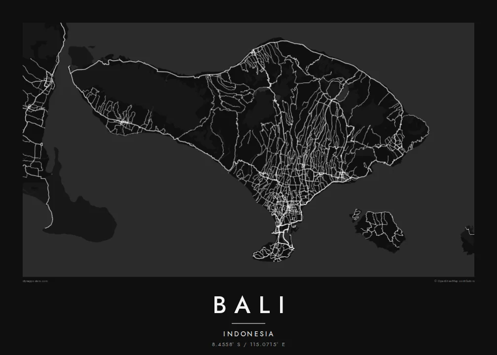
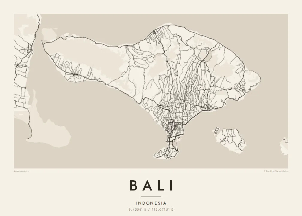
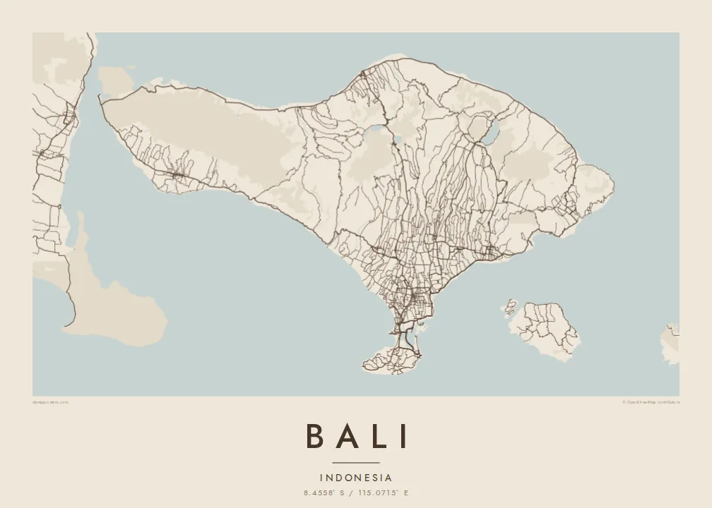
Choose the title, add a subtitle with a honeymoon date or a village name, and set the coordinates line. Select from five styles: Classic, Noir, Paper, Blueprint and Sand. Printed posters come on matte paper, with an optional wooden frame, from partners in 30+ countries.
Bali poster orme| Maxxaacah ballaqa | Qeeqa | Faylal |
|---|---|---|
| 30 × 40 cm (11.8 × 15.7″) | 3,543 × 4,724 px | PNG · PDF |
| 29.7 × 42 cm (A3, 11.7 × 16.5″) | 3,508 × 4,961 px | PNG · PDF |
| 42 × 59.4 cm (A2, 16.5 × 23.4″) | 4,961 × 7,016 px | PNG · PDF |
| 45.7 × 61 cm (18 × 24″) | 5,400 × 7,200 px | PNG · PDF |
| 50 × 70 cm (19.7 × 27.6″) | 5,906 × 8,268 px | PNG · PDF |
| 61 × 91.4 cm (24 × 36″) | 7,200 × 10,800 px | PNG · PDF |
Tabbaltah, limo-wayta xaqqa-le ablo 900 px ballaqa le, asta le, iskiriinih keh tan. HD faylal gexsoh inkih addal 8× fanah qeeqa le, poster ballaqa inkih addal meqeh maxxaacimta.
Baxxaqqa qari le qandiy dooriy, tohuk lakal Daabbisimtah Poster — kutuk kee, faxximek, dirbaabu — hinnay HD Digital Fayla dooru. Checkout inki wagitti geytima, kaadu ku-orme page keenih adissa akke waqdi caagoy kummite.
Usuk 200 gsm-le catam kutuk warqatal, lica katiy caagitte {printFrom}-ik hane ayta 30 × 40 cm-ik 24 × 36″ fanah, xaagu keenil warreeh.
Ee. Sarrah-le dirbaabu doori — bad, gudduc, oak-le hinnay bad-madabuy. Usuk finqisiimam ellee sange qarab-le kaadu qari umukku iyya keenih taagu. Dirbaabu-le poster {framedFrom}-ik hane, xaagu keenil warreeh.
Shipping is free worldwide. Each poster is printed by the nearest of our print partners in 30+ countries and usually arrives in 3–7 business days. You can follow the status and tracking under My Orders. A few countries take 2–5 weeks, and where we don't ship yet, the site tells you before you pay.
Geytimeek 14 ayróy addal foto naah rubbaay, cisab-le daabbisiynah hinnay ku-lacay gacisnaah.
Ee. Tama page-l edito addal, migaaq, subtitle kee coordinates sarrah faxxem fanah badal, kaadu qande kee katiy doori. Daabbisimtah, dirbaabu-le kaadu digital orme inkih ku-design cagalah yekkelen.
$9 bacisak 300 DPI PNG kee daabbisimtah adissime PDF fayla lica katiy inkih, watermark maleh, ayyi meki daabbisimtah geeytitta. Cisab makkoysemty ana? Awqak, watermark-le free preview download-eh.
