Barelang bridges
A chain of six bridges links Batam with the islands to its south, drawn as thin lines hopping across open water between coastlines.
Qeeqabak kaartah poster · Indonesia
1.1494° N / 104.0249° E
An island city facing Singapore across a narrow strait, its coastline ragged with bays, reservoirs and a chain of bridges.


Inki magaala, konoy gaba
Qande inkih tibbixeeh derre baguley table. Kulli qande missoowa caagid—daabbisimta, dirbaabu-le kaadu HD fayla akah.
 Cagalah pixels · 24 × 36″ daabbi fayla
Maxxaacah qeeqa
Tama usuk cagalah daabbi faylak 100% qambaala. Kulli poster — daabbisimta, dirbaabu-le kaadu download geytimta — ni-server-ittal 300 DPI-l ederimta, 7,200 × 10,800 pixels fanah, tokkel iyyi ellee catoy 24 × 36″ daabbi baxsi bahisak raaqu.
Gidarih


Kaarta
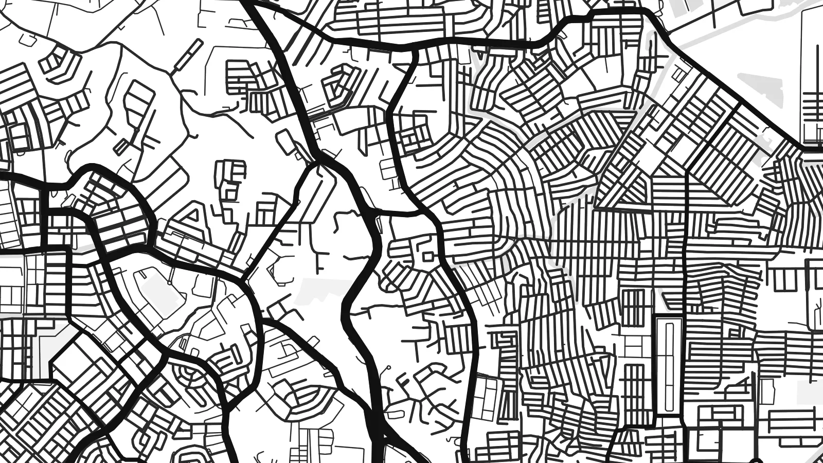
Batam is an island, and its map is defined by water on every side. The coastline is deeply indented with bays, inlets and mangrove edges, while the interior holds several reservoirs that collect the island's fresh water. Singapore lies only a short distance to the north across the Singapore Strait, reached by frequent ferries from Batam's harbours.
The urban pattern is scattered rather than centralised. Commercial districts such as Nagoya cluster near the northern coast, while industrial estates, housing areas and port facilities spread across the island along a network of main roads. Large blocks mark factories and shipyards, reflecting Batam's development as a free trade and manufacturing zone from the 1970s onward.
A Batam map poster shows a place shaped by its position on one of the world's busiest shipping routes. To the south, the Barelang bridges connect Batam to the neighbouring islands of Rempang and Galang.
A chain of six bridges links Batam with the islands to its south, drawn as thin lines hopping across open water between coastlines.
Several inland reservoirs appear as irregular water shapes within the island, giving the interior its own set of shorelines.
The northern coast faces the Singapore Strait, with ferry terminals and harbour basins marking the closest point to the neighbouring city-state.
Kok tanim ab
Ayro, migaq hinnay kok tan xagar osis; gaba, ballaqa hinnay xiqa soorris.
Free preview qansarissi kee watermark-le. Daabbisimtaan kee HD fayla 300 DPI-l, 7,200 × 10,800 px fanah, watermark maleh ederimta.
Macah Batam
Batam draws people for work, for weekend trips from Singapore and for its coast. A map of the island records all of that in one clear outline, with the sea giving it a strong frame.
Add your own title, a subtitle for a year or a project, and a coordinates line, then choose between Classic black & white, Noir, Paper, Blueprint and Sand for the finished poster.
Batam poster orme| Maxxaacah ballaqa | Qeeqa | Faylal |
|---|---|---|
| 30 × 40 cm (11.8 × 15.7″) | 3,543 × 4,724 px | PNG · PDF |
| 29.7 × 42 cm (A3, 11.7 × 16.5″) | 3,508 × 4,961 px | PNG · PDF |
| 42 × 59.4 cm (A2, 16.5 × 23.4″) | 4,961 × 7,016 px | PNG · PDF |
| 45.7 × 61 cm (18 × 24″) | 5,400 × 7,200 px | PNG · PDF |
| 50 × 70 cm (19.7 × 27.6″) | 5,906 × 8,268 px | PNG · PDF |
| 61 × 91.4 cm (24 × 36″) | 7,200 × 10,800 px | PNG · PDF |
Tabbaltah, limo-wayta xaqqa-le ablo 900 px ballaqa le, asta le, iskiriinih keh tan. HD faylal gexsoh inkih addal 8× fanah qeeqa le, poster ballaqa inkih addal meqeh maxxaacimta.
Baxxaqqa qari le qandiy dooriy, tohuk lakal Daabbisimtah Poster — kutuk kee, faxximek, dirbaabu — hinnay HD Digital Fayla dooru. Checkout inki wagitti geytima, kaadu ku-orme page keenih adissa akke waqdi caagoy kummite.
Usuk 200 gsm-le catam kutuk warqatal, lica katiy caagitte {printFrom}-ik hane ayta 30 × 40 cm-ik 24 × 36″ fanah, xaagu keenil warreeh.
Ee. Sarrah-le dirbaabu doori — bad, gudduc, oak-le hinnay bad-madabuy. Usuk finqisiimam ellee sange qarab-le kaadu qari umukku iyya keenih taagu. Dirbaabu-le poster {framedFrom}-ik hane, xaagu keenil warreeh.
Shipping is free worldwide. Each poster is printed by the nearest of our print partners in 30+ countries and usually arrives in 3–7 business days. You can follow the status and tracking under My Orders. A few countries take 2–5 weeks, and where we don't ship yet, the site tells you before you pay.
Geytimeek 14 ayróy addal foto naah rubbaay, cisab-le daabbisiynah hinnay ku-lacay gacisnaah.
Ee. Tama page-l edito addal, migaaq, subtitle kee coordinates sarrah faxxem fanah badal, kaadu qande kee katiy doori. Daabbisimtah, dirbaabu-le kaadu digital orme inkih ku-design cagalah yekkelen.
$9 bacisak 300 DPI PNG kee daabbisimtah adissime PDF fayla lica katiy inkih, watermark maleh, ayyi meki daabbisimtah geeytitta. Cisab makkoysemty ana? Awqak, watermark-le free preview download-eh.
Xayyo
