Highway 1
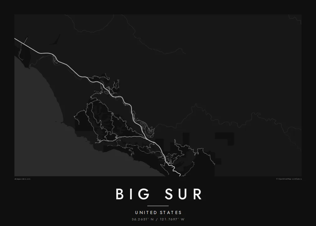
The coastal road follows every contour of the slope, so its twisting line forms the spine of the map from north to south.
Qeeqabak kaartah poster · United States
36.2651° N / 121.7697° W
A thin coastal highway pinned between steep mountains and the Pacific, crossing canyon after canyon on narrow bridges



Inki magaala, konoy gaba
Qande inkih tibbixeeh derre baguley table. Kulli qande missoowa caagid—daabbisimta, dirbaabu-le kaadu HD fayla akah.
 Cagalah pixels · 24 × 36″ daabbi fayla
Maxxaacah qeeqa
Tama usuk cagalah daabbi faylak 100% qambaala. Kulli poster — daabbisimta, dirbaabu-le kaadu download geytimta — ni-server-ittal 300 DPI-l ederimta, 7,200 × 10,800 pixels fanah, tokkel iyyi ellee catoy 24 × 36″ daabbi baxsi bahisak raaqu.
Gidarih


Kaarta
Big Sur is the stretch of central California coast south of Carmel where the Santa Lucia Mountains rise abruptly from the Pacific. There is almost no coastal plain. On a map this produces one of the most striking lines anywhere: State Route 1 hugs the slope for mile after mile, and a few side roads climb into canyons that cut down toward the ocean.
The highway through Big Sur was completed in 1937 after years of construction, and the concrete arch of the Bixby Creek Bridge, opened in 1932, remains one of its most photographed sights. The road is still exposed to landslides, and sections have closed many times over the years. Point Sur, with its lighthouse on a volcanic rock, is one of the few breaks in the cliffs.
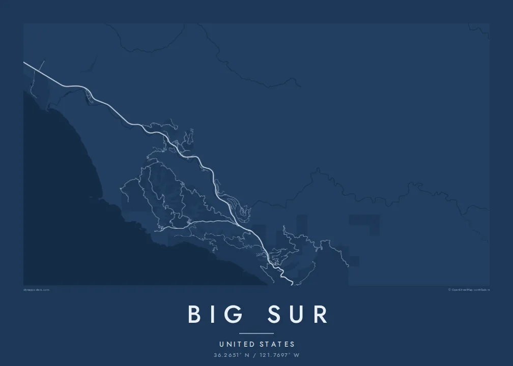
A Big Sur map poster is mostly open space: ocean on one side, forested ridges on the other, and between them a single road with its bends and bridges. Small settlements, such as the cluster in the Big Sur River valley, appear as brief thickenings along the line, which makes the whole composition feel spare and quiet.
The coastal road follows every contour of the slope, so its twisting line forms the spine of the map from north to south.
Creeks cut down to the sea at intervals, and the road crosses them on bridges such as Bixby Creek, each crossing marking a small notch in the coastline.
A large rock joined to the mainland by a sandbar, drawn as a rounded knob off an otherwise smooth shoreline, with its lighthouse on the summit.
Kok tanim ab
Ayro, migaq hinnay kok tan xagar osis; gaba, ballaqa hinnay xiqa soorris.
Free preview qansarissi kee watermark-le. Daabbisimtaan kee HD fayla 300 DPI-l, 7,200 × 10,800 px fanah, watermark maleh ederimta.
Macah Big Sur
This is a map for people who have driven the coast in an open car, camped among the redwoods or proposed at a turnout above the sea. A custom title and subtitle can record the date, and the coordinates line can mark the exact viewpoint.
The spare geography looks strong in Noir and Blueprint, and quieter in Paper, Sand or Classic black & white. The digital files include six print sizes, from 30×40 cm to 24×36 inches, each as a 300 DPI PNG and a print-ready PDF.
Big Sur poster orme| Maxxaacah ballaqa | Qeeqa | Faylal |
|---|---|---|
| 30 × 40 cm (11.8 × 15.7″) | 3,543 × 4,724 px | PNG · PDF |
| 29.7 × 42 cm (A3, 11.7 × 16.5″) | 3,508 × 4,961 px | PNG · PDF |
| 42 × 59.4 cm (A2, 16.5 × 23.4″) | 4,961 × 7,016 px | PNG · PDF |
| 45.7 × 61 cm (18 × 24″) | 5,400 × 7,200 px | PNG · PDF |
| 50 × 70 cm (19.7 × 27.6″) | 5,906 × 8,268 px | PNG · PDF |
| 61 × 91.4 cm (24 × 36″) | 7,200 × 10,800 px | PNG · PDF |
Tabbaltah, limo-wayta xaqqa-le ablo 900 px ballaqa le, asta le, iskiriinih keh tan. HD faylal gexsoh inkih addal 8× fanah qeeqa le, poster ballaqa inkih addal meqeh maxxaacimta.
Baxxaqqa qari le qandiy dooriy, tohuk lakal Daabbisimtah Poster — kutuk kee, faxximek, dirbaabu — hinnay HD Digital Fayla dooru. Checkout inki wagitti geytima, kaadu ku-orme page keenih adissa akke waqdi caagoy kummite.
Usuk 200 gsm-le catam kutuk warqatal, lica katiy caagitte $39-ik hane ayta 30 × 40 cm-ik 24 × 36″ fanah, xaagu keenil warreeh.
Ee. Sarrah-le dirbaabu doori — bad, gudduc, oak-le hinnay bad-madabuy. Usuk finqisiimam ellee sange qarab-le kaadu qari umukku iyya keenih taagu. Dirbaabu-le poster $99-ik hane, xaagu keenil warreeh.
Shipping is free worldwide. Each poster is printed by the nearest of our print partners in 30+ countries and usually arrives in 3–7 business days. You can follow the status and tracking under My Orders. A few countries take 2–5 weeks, and where we don't ship yet, the site tells you before you pay.
Geytimeek 14 ayróy addal foto naah rubbaay, cisab-le daabbisiynah hinnay ku-lacay gacisnaah.
Ee. Tama page-l edito addal, migaaq, subtitle kee coordinates sarrah faxxem fanah badal, kaadu qande kee katiy doori. Daabbisimtah, dirbaabu-le kaadu digital orme inkih ku-design cagalah yekkelen.
$9 bacisak 300 DPI PNG kee daabbisimtah adissime PDF fayla lica katiy inkih, watermark maleh, ayyi meki daabbisimtah geeytitta. Cisab makkoysemty ana? Awqak, watermark-le free preview download-eh.
