Meeting grids
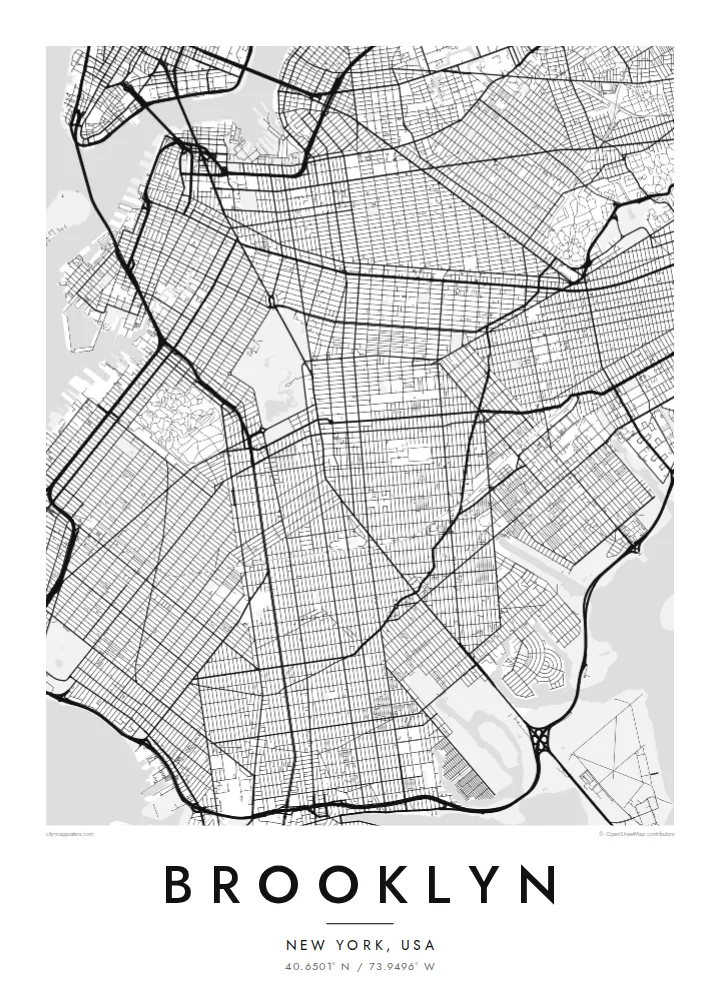
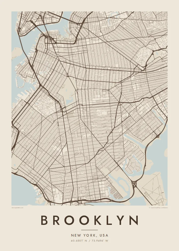
Brooklyn's streets form several grids that meet at different angles, following the plans of earlier towns. This makes the map more varied than Manhattan's.
Qeeqabak kaartah poster · United States
40.6501° N / 73.9496° W
A borough of colliding street grids, a great park and long shorelines facing Manhattan and the Atlantic


Inki magaala, konoy gaba
Qande inkih tibbixeeh derre baguley table. Kulli qande missoowa caagid—daabbisimta, dirbaabu-le kaadu HD fayla akah.
 Cagalah pixels · 24 × 36″ daabbi fayla
Maxxaacah qeeqa
Tama usuk cagalah daabbi faylak 100% qambaala. Kulli poster — daabbisimta, dirbaabu-le kaadu download geytimta — ni-server-ittal 300 DPI-l ederimta, 7,200 × 10,800 pixels fanah, tokkel iyyi ellee catoy 24 × 36″ daabbi baxsi bahisak raaqu.
Gidarih


Kaarta
Brooklyn occupies the western end of Long Island, facing Manhattan across the East River. From above, it is a patchwork of street grids that meet at different angles. Each grid reflects the villages and towns that were joined together as Brooklyn grew into a city of its own, before becoming part of New York City in 1898.
Prospect Park forms a large green space in the middle of the borough, next to Green-Wood Cemetery with its winding paths. The Gowanus Canal cuts a straight line inland from the harbour. Long avenues, such as Ocean Parkway, run toward the southern shore and Coney Island.
The Brooklyn Bridge and Manhattan Bridge link the borough to Manhattan in the northwest. To the southeast, Jamaica Bay's marshes and islands form an irregular edge. A Brooklyn map poster shows how the grids, parks and waterfronts fit together in this large and varied borough.
Brooklyn's streets form several grids that meet at different angles, following the plans of earlier towns. This makes the map more varied than Manhattan's.
A large park in the centre of the borough, with meadows, woods and a lake. On the map it forms a big green shape surrounded by dense blocks.
This narrow, straight canal runs inland from the harbour, cutting through the street grid in a clear line near Park Slope and Carroll Gardens.
Kok tanim ab
Ayro, migaq hinnay kok tan xagar osis; gaba, ballaqa hinnay xiqa soorris.
Free preview qansarissi kee watermark-le. Daabbisimtaan kee HD fayla 300 DPI-l, 7,200 × 10,800 px fanah, watermark maleh ederimta.
Macah Brooklyn
Brooklyn is home to many people who identify with their neighbourhood as strongly as with the city itself. A map of the grids, the park and the shorelines is a personal way to mark that connection.
You can set your own title, subtitle and coordinates, for example your neighbourhood or a moving date, and choose from Classic black & white, Noir, Paper, Blueprint and Sand. Get it as a digital file or printed poster.
Brooklyn poster orme| Maxxaacah ballaqa | Qeeqa | Faylal |
|---|---|---|
| 30 × 40 cm (11.8 × 15.7″) | 3,543 × 4,724 px | PNG · PDF |
| 29.7 × 42 cm (A3, 11.7 × 16.5″) | 3,508 × 4,961 px | PNG · PDF |
| 42 × 59.4 cm (A2, 16.5 × 23.4″) | 4,961 × 7,016 px | PNG · PDF |
| 45.7 × 61 cm (18 × 24″) | 5,400 × 7,200 px | PNG · PDF |
| 50 × 70 cm (19.7 × 27.6″) | 5,906 × 8,268 px | PNG · PDF |
| 61 × 91.4 cm (24 × 36″) | 7,200 × 10,800 px | PNG · PDF |
Tabbaltah, limo-wayta xaqqa-le ablo 900 px ballaqa le, asta le, iskiriinih keh tan. HD faylal gexsoh inkih addal 8× fanah qeeqa le, poster ballaqa inkih addal meqeh maxxaacimta.
Baxxaqqa qari le qandiy dooriy, tohuk lakal Daabbisimtah Poster — kutuk kee, faxximek, dirbaabu — hinnay HD Digital Fayla dooru. Checkout inki wagitti geytima, kaadu ku-orme page keenih adissa akke waqdi caagoy kummite.
Usuk 200 gsm-le catam kutuk warqatal, lica katiy caagitte {printFrom}-ik hane ayta 30 × 40 cm-ik 24 × 36″ fanah, xaagu keenil warreeh.
Ee. Sarrah-le dirbaabu doori — bad, gudduc, oak-le hinnay bad-madabuy. Usuk finqisiimam ellee sange qarab-le kaadu qari umukku iyya keenih taagu. Dirbaabu-le poster {framedFrom}-ik hane, xaagu keenil warreeh.
Xaagu addunyal inkih cisab-le. Kulli poster 30+ ummattak ni-daabbi-mara mananih xayyoysa kaadu 3–7 caagu-ayróh fanah geeytima. Ku-orme kee xaagu tarikiy My Orders addal ablitta.
Geytimeek 14 ayróy addal foto naah rubbaay, cisab-le daabbisiynah hinnay ku-lacay gacisnaah.
Ee. Tama page-l edito addal, migaaq, subtitle kee coordinates sarrah faxxem fanah badal, kaadu qande kee katiy doori. Daabbisimtah, dirbaabu-le kaadu digital orme inkih ku-design cagalah yekkelen.
$9 bacisak 300 DPI PNG kee daabbisimtah adissime PDF fayla lica katiy inkih, watermark maleh, ayyi meki daabbisimtah geeytitta. Cisab makkoysemty ana? Awqak, watermark-le free preview download-eh.
Xayyo
