Gezira and Roda
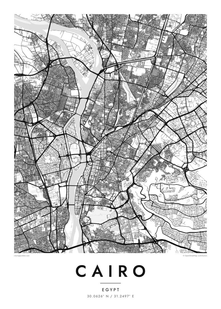
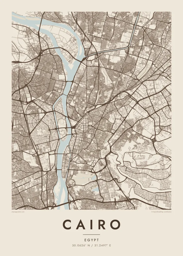
Two elongated islands in the Nile. Gezira holds Zamalek's leafy streets and sports grounds; Roda lies to the south near Old Cairo. Both show clearly as shaped land within the river.
Qeeqabak kaartah poster · Egypt
30.0626° N / 31.2497° E
The Nile running north through a vast city, parting around Gezira and Roda, with the old Islamic quarter dense to the east.
Inki magaala, konoy gaba
Qande inkih tibbixeeh derre baguley table. Kulli qande missoowa caagid—daabbisimta, dirbaabu-le kaadu HD fayla akah.
 Cagalah pixels · 24 × 36″ daabbi fayla
Maxxaacah qeeqa
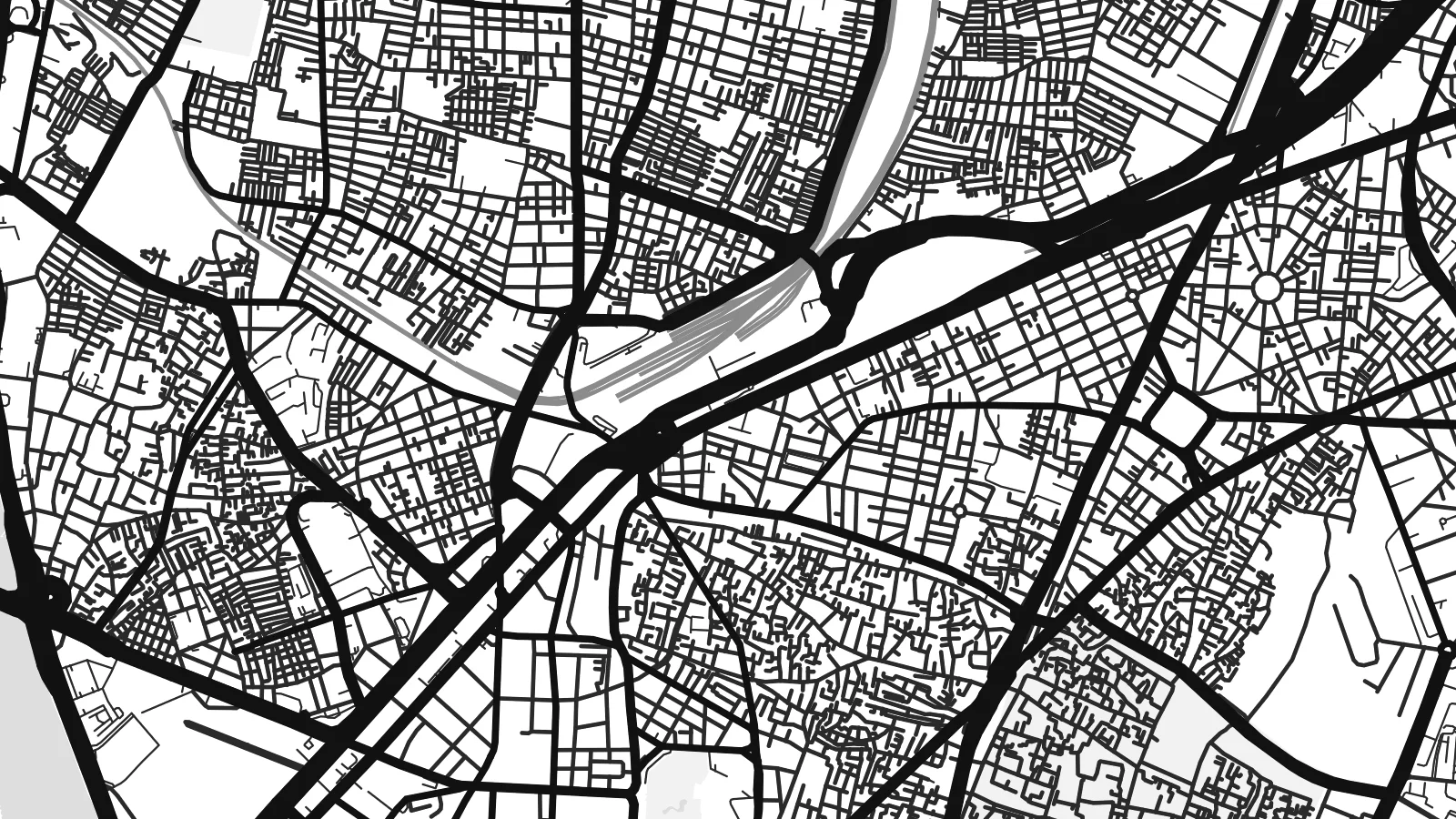
Tama usuk cagalah daabbi faylak 100% qambaala. Kulli poster — daabbisimta, dirbaabu-le kaadu download geytimta — ni-server-ittal 300 DPI-l ederimta, 7,200 × 10,800 pixels fanah, tokkel iyyi ellee catoy 24 × 36″ daabbi baxsi bahisak raaqu.
Gidarih


Kaarta
Cairo is organised around the Nile, which flows north through the city in a broad channel before fanning out into the delta beyond. Two long islands sit in the river: Gezira, home to Zamalek and the Cairo Tower, and Roda further south. Bridges tie them to both banks, so the map reads as a sequence of crossings stacked along the water.
East of the river, downtown was laid out in the nineteenth century under Khedive Ismail, with boulevards and squares arranged in a European manner around what is now Tahrir Square. Further east the streets change completely. Historic Cairo, a UNESCO World Heritage Site, is a close web of lanes, mosques and courtyards leading up to the Citadel on its spur of the Mokattam hills.
The Pyramids of Giza stand on the desert plateau west of the river, at the edge of the wider metropolitan area, and the city's ring road loops out toward them. A Cairo map poster brings these layers together: the medieval street pattern, the planned downtown and the Nile, which in black and white becomes the calm centre of a very dense composition.
Two elongated islands in the Nile. Gezira holds Zamalek's leafy streets and sports grounds; Roda lies to the south near Old Cairo. Both show clearly as shaped land within the river.
The old city east of downtown, with Al-Muizz Street, Khan el-Khalili and hundreds of mosques. Its narrow, irregular lanes form the most intricate texture anywhere on the map.
Saladin's twelfth-century citadel sits on a rise at the foot of the Mokattam hills, where the dense street pattern gives way to open ground and the long ridge to the east.
Kok tanim ab
Ayro, migaq hinnay kok tan xagar osis; gaba, ballaqa hinnay xiqa soorris.
Free preview qansarissi kee watermark-le. Daabbisimtaan kee HD fayla 300 DPI-l, 7,200 × 10,800 px fanah, watermark maleh ederimta.
Macah Cairo
Cairo is one of those cities that stays with people, whether they grew up in Heliopolis, studied at a university downtown or spent a week between the museums and the old markets. A map of its streets is a quieter reminder than any souvenir.
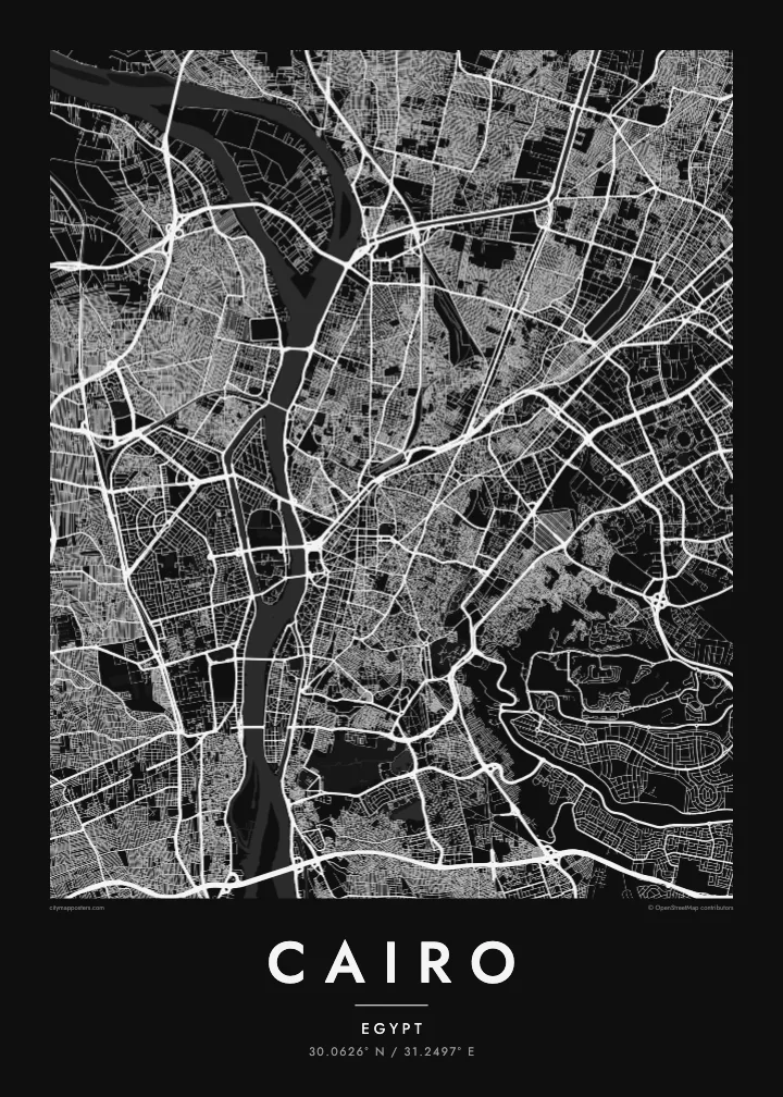
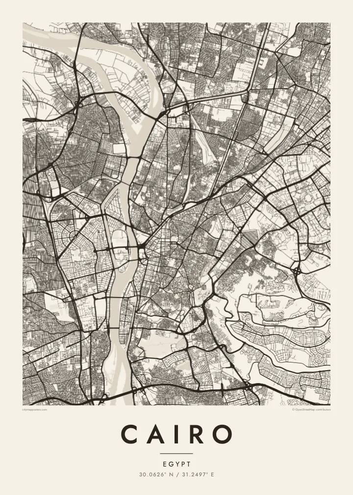
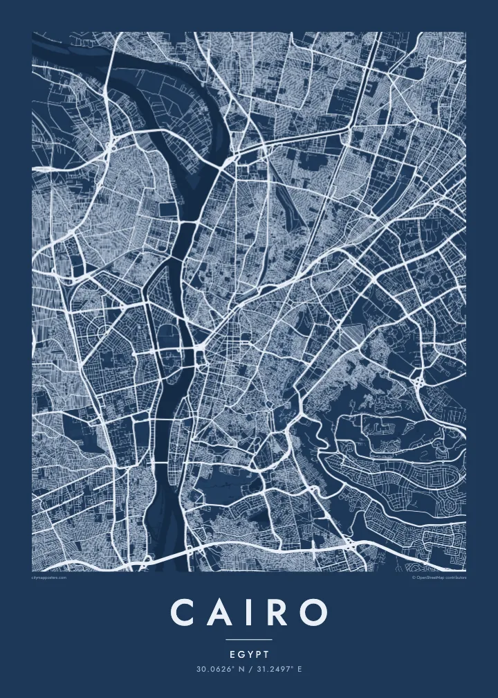
Write your own title and subtitle, keep or edit the coordinates line, and choose one of five styles. Sand suits the desert light, while Noir gives the river strong contrast. Printed posters on matte paper ship from partners in more than 30 countries.
Cairo poster orme| Maxxaacah ballaqa | Qeeqa | Faylal |
|---|---|---|
| 30 × 40 cm (11.8 × 15.7″) | 3,543 × 4,724 px | PNG · PDF |
| 29.7 × 42 cm (A3, 11.7 × 16.5″) | 3,508 × 4,961 px | PNG · PDF |
| 42 × 59.4 cm (A2, 16.5 × 23.4″) | 4,961 × 7,016 px | PNG · PDF |
| 45.7 × 61 cm (18 × 24″) | 5,400 × 7,200 px | PNG · PDF |
| 50 × 70 cm (19.7 × 27.6″) | 5,906 × 8,268 px | PNG · PDF |
| 61 × 91.4 cm (24 × 36″) | 7,200 × 10,800 px | PNG · PDF |
Tabbaltah, limo-wayta xaqqa-le ablo 900 px ballaqa le, asta le, iskiriinih keh tan. HD faylal gexsoh inkih addal 8× fanah qeeqa le, poster ballaqa inkih addal meqeh maxxaacimta.
Baxxaqqa qari le qandiy dooriy, tohuk lakal Daabbisimtah Poster — kutuk kee, faxximek, dirbaabu — hinnay HD Digital Fayla dooru. Checkout inki wagitti geytima, kaadu ku-orme page keenih adissa akke waqdi caagoy kummite.
Usuk 200 gsm-le catam kutuk warqatal, lica katiy caagitte {printFrom}-ik hane ayta 30 × 40 cm-ik 24 × 36″ fanah, xaagu keenil warreeh.
Ee. Sarrah-le dirbaabu doori — bad, gudduc, oak-le hinnay bad-madabuy. Usuk finqisiimam ellee sange qarab-le kaadu qari umukku iyya keenih taagu. Dirbaabu-le poster {framedFrom}-ik hane, xaagu keenil warreeh.
Xaagu addunyal inkih cisab-le. Kulli poster 30+ ummattak ni-daabbi-mara mananih xayyoysa kaadu 3–7 caagu-ayróh fanah geeytima. Ku-orme kee xaagu tarikiy My Orders addal ablitta.
Geytimeek 14 ayróy addal foto naah rubbaay, cisab-le daabbisiynah hinnay ku-lacay gacisnaah.
Ee. Tama page-l edito addal, migaaq, subtitle kee coordinates sarrah faxxem fanah badal, kaadu qande kee katiy doori. Daabbisimtah, dirbaabu-le kaadu digital orme inkih ku-design cagalah yekkelen.
$9 bacisak 300 DPI PNG kee daabbisimtah adissime PDF fayla lica katiy inkih, watermark maleh, ayyi meki daabbisimtah geeytitta. Cisab makkoysemty ana? Awqak, watermark-le free preview download-eh.
