BR-116 and Trensurb
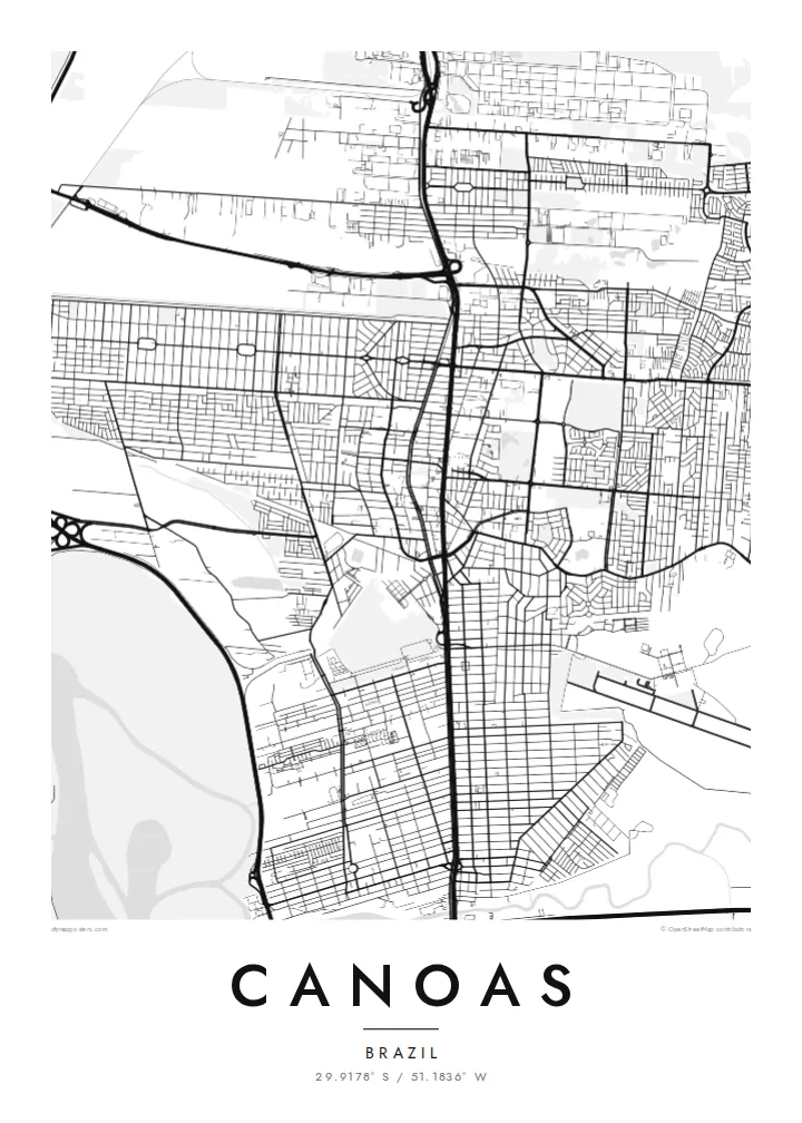
Highway and commuter rail run side by side through the city, a single strong vertical that divides Canoas into eastern and western halves.
Qeeqabak kaartah poster · Brazil
29.9178° S / 51.1836° W
A flat river-plain city north of Porto Alegre, split by a highway and hemmed in by two rivers.


Inki magaala, konoy gaba
Qande inkih tibbixeeh derre baguley table. Kulli qande missoowa caagid—daabbisimta, dirbaabu-le kaadu HD fayla akah.
 Cagalah pixels · 24 × 36″ daabbi fayla
Maxxaacah qeeqa
Tama usuk cagalah daabbi faylak 100% qambaala. Kulli poster — daabbisimta, dirbaabu-le kaadu download geytimta — ni-server-ittal 300 DPI-l ederimta, 7,200 × 10,800 pixels fanah, tokkel iyyi ellee catoy 24 × 36″ daabbi baxsi bahisak raaqu.
Gidarih

Kaarta
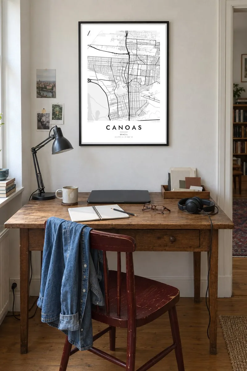
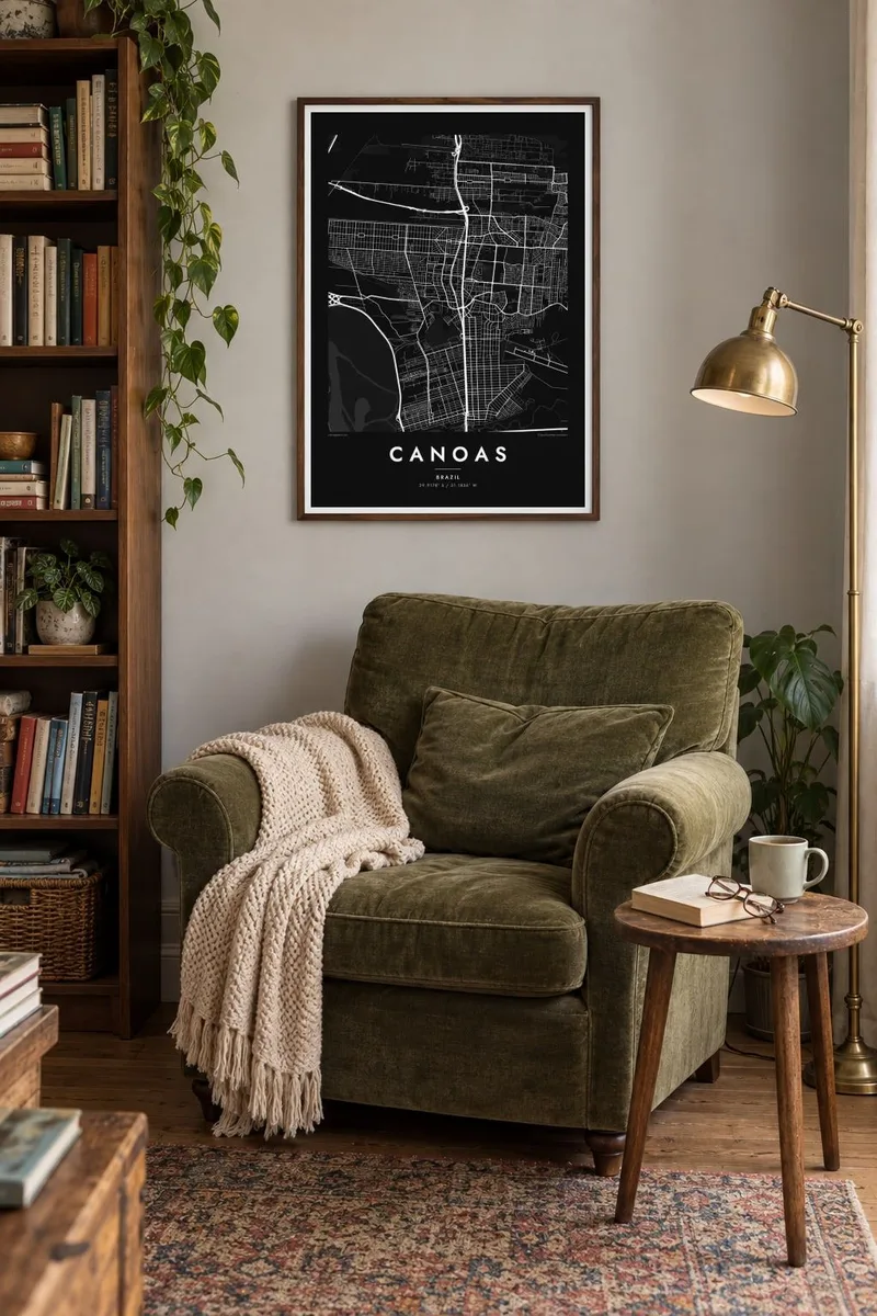
Canoas sits directly north of Porto Alegre in Rio Grande do Sul, and on a map the two cities almost merge. The key organising line is the BR-116 highway, which runs north to south through the middle of town with the Trensurb commuter rail beside it. Streets branch off this double spine into neighbourhoods of fairly regular blocks on either side.
The terrain is low and level. The Gravataí River bends along the southern edge and the Rio dos Sinos passes to the north, with the broad Guaíba waters not far to the west. Much of the western side lies close to river level, which is why the city was so badly affected in the 2024 Rio Grande do Sul floods, especially in the Mathias Velho district.
A Canoas map poster makes that geography easy to read: the straight transport corridor, the pale wetlands and levee lines, and the large open rectangle of the air force base that interrupts the street grid. It is a map of a working city shaped by roads, rail and water rather than by hills or an old centre.
Highway and commuter rail run side by side through the city, a single strong vertical that divides Canoas into eastern and western halves.
The Canoas air force base occupies a large open block in the urban fabric, a blank space with a runway that stands out clearly in monochrome.
The Gravataí and Sinos rivers and their floodplains surround the city, drawing soft, winding edges around the otherwise orderly street pattern.
Kok tanim ab
Ayro, migaq hinnay kok tan xagar osis; gaba, ballaqa hinnay xiqa soorris.
Free preview qansarissi kee watermark-le. Daabbisimtaan kee HD fayla 300 DPI-l, 7,200 × 10,800 px fanah, watermark maleh ederimta.
Macah Canoas
For many families in Canoas, the map carries weight after the floods: a record of the streets and neighbourhoods as they are. Others simply want the place where they grew up, studied or started work, drawn cleanly and without clutter.
Add a personal title, subtitle and coordinates line, then choose from Classic black & white, Noir, Paper, Blueprint or Sand. The $9 digital files cover six print sizes, and printed posters ship from partners in more than 30 countries.
Canoas poster orme| Maxxaacah ballaqa | Qeeqa | Faylal |
|---|---|---|
| 30 × 40 cm (11.8 × 15.7″) | 3,543 × 4,724 px | PNG · PDF |
| 29.7 × 42 cm (A3, 11.7 × 16.5″) | 3,508 × 4,961 px | PNG · PDF |
| 42 × 59.4 cm (A2, 16.5 × 23.4″) | 4,961 × 7,016 px | PNG · PDF |
| 45.7 × 61 cm (18 × 24″) | 5,400 × 7,200 px | PNG · PDF |
| 50 × 70 cm (19.7 × 27.6″) | 5,906 × 8,268 px | PNG · PDF |
| 61 × 91.4 cm (24 × 36″) | 7,200 × 10,800 px | PNG · PDF |
Tabbaltah, limo-wayta xaqqa-le ablo 900 px ballaqa le, asta le, iskiriinih keh tan. HD faylal gexsoh inkih addal 8× fanah qeeqa le, poster ballaqa inkih addal meqeh maxxaacimta.
Baxxaqqa qari le qandiy dooriy, tohuk lakal Daabbisimtah Poster — kutuk kee, faxximek, dirbaabu — hinnay HD Digital Fayla dooru. Checkout inki wagitti geytima, kaadu ku-orme page keenih adissa akke waqdi caagoy kummite.
Usuk 200 gsm-le catam kutuk warqatal, lica katiy caagitte {printFrom}-ik hane ayta 30 × 40 cm-ik 24 × 36″ fanah, xaagu keenil warreeh.
Ee. Sarrah-le dirbaabu doori — bad, gudduc, oak-le hinnay bad-madabuy. Usuk finqisiimam ellee sange qarab-le kaadu qari umukku iyya keenih taagu. Dirbaabu-le poster {framedFrom}-ik hane, xaagu keenil warreeh.
Xaagu addunyal inkih cisab-le. Kulli poster 30+ ummattak ni-daabbi-mara mananih xayyoysa kaadu 3–7 caagu-ayróh fanah geeytima. Ku-orme kee xaagu tarikiy My Orders addal ablitta.
Geytimeek 14 ayróy addal foto naah rubbaay, cisab-le daabbisiynah hinnay ku-lacay gacisnaah.
Ee. Tama page-l edito addal, migaaq, subtitle kee coordinates sarrah faxxem fanah badal, kaadu qande kee katiy doori. Daabbisimtah, dirbaabu-le kaadu digital orme inkih ku-design cagalah yekkelen.
$9 bacisak 300 DPI PNG kee daabbisimtah adissime PDF fayla lica katiy inkih, watermark maleh, ayyi meki daabbisimtah geeytitta. Cisab makkoysemty ana? Awqak, watermark-le free preview download-eh.
