Concentric ring roads
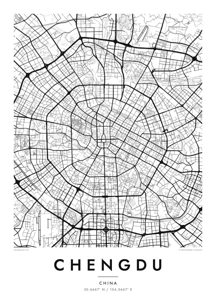
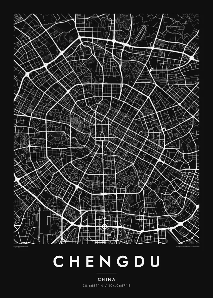
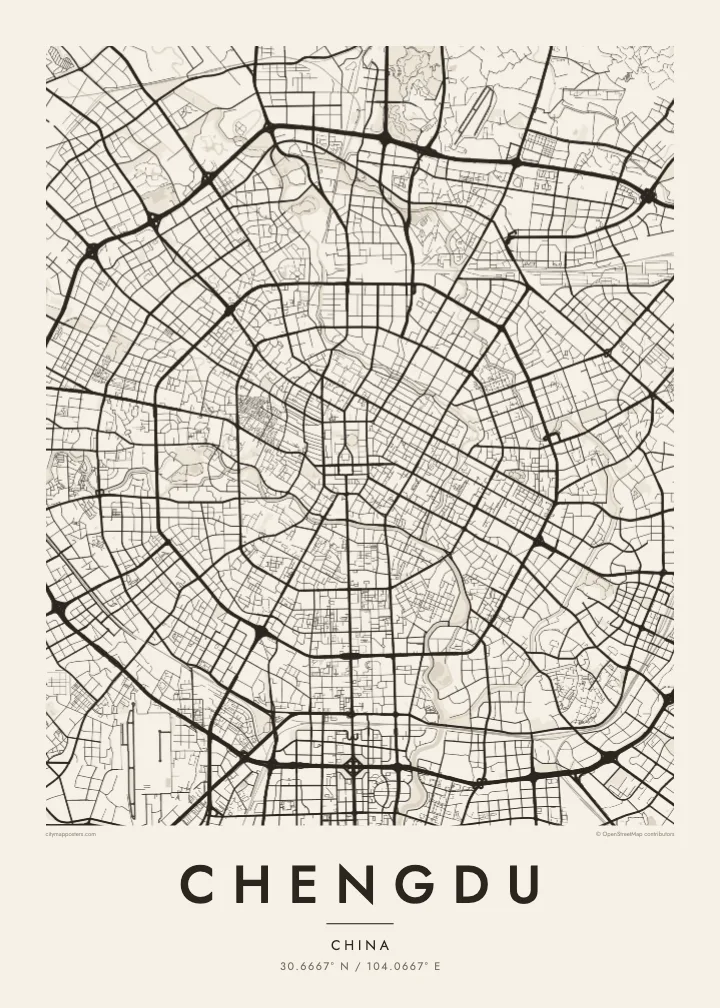
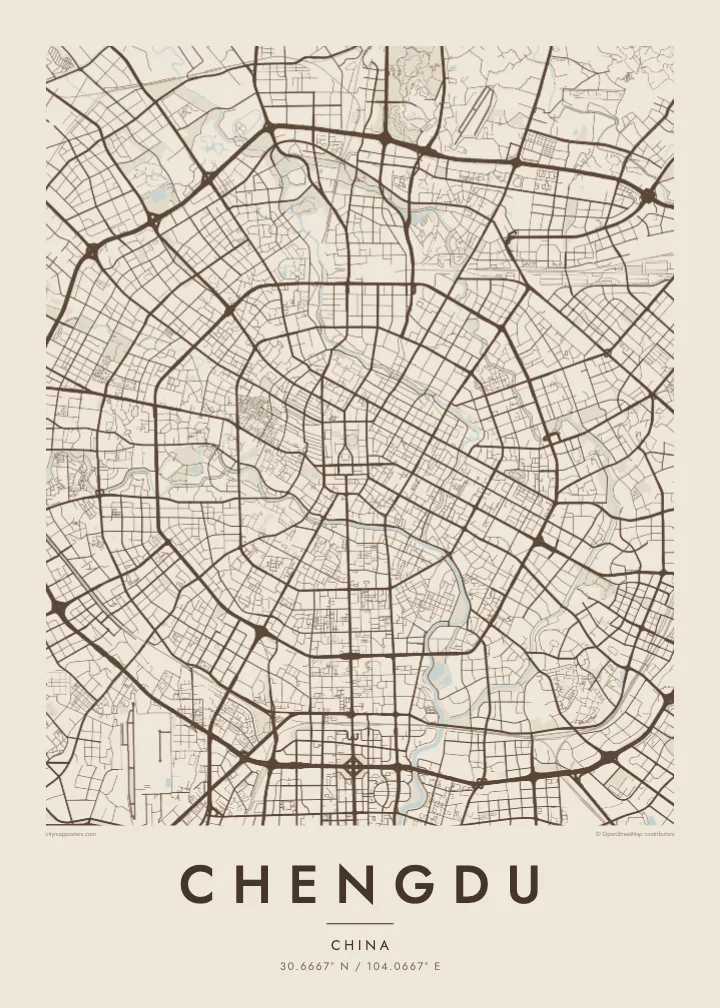
Several ring roads circle the centre at steady intervals, giving Chengdu one of the most legible layouts of any large city and a strong, almost geometric outline.
Qeeqabak kaartah poster · China
30.6667° N / 104.0667° E
A flat plain city drawn in concentric rings, its old centre wrapped by two rivers and radiating roads

Inki magaala, konoy gaba
Qande inkih tibbixeeh derre baguley table. Kulli qande missoowa caagid—daabbisimta, dirbaabu-le kaadu HD fayla akah.
 Cagalah pixels · 24 × 36″ daabbi fayla
Maxxaacah qeeqa
Tama usuk cagalah daabbi faylak 100% qambaala. Kulli poster — daabbisimta, dirbaabu-le kaadu download geytimta — ni-server-ittal 300 DPI-l ederimta, 7,200 × 10,800 pixels fanah, tokkel iyyi ellee catoy 24 × 36″ daabbi baxsi bahisak raaqu.
Gidarih


Kaarta
Chengdu sits on a wide, level plain in western Sichuan, and without hills to bend it the city has grown outward in rings. Seen from above, it looks almost like a target: a dense centre around Tianfu Square, then a series of ring roads, numbered from the First Ring outward, each circle wider than the last, with major avenues radiating from the middle like spokes.
Water frames the heart of the city. The Fu and Nan rivers, together often called the Jin River, curve around the old centre, enclosing the area where the historic walled city once stood. Within that loop the streets are finer and closer together, including the preserved lanes of Kuanzhai Xiangzi, while the newer districts beyond show larger blocks and broader roads.
A Chengdu map poster captures this unusually clear structure. The rings and rivers give it a calm, balanced composition, and the growth to the south toward Tianfu New Area stretches the pattern into a longer shape. To the north lies the well-known Giant Panda Breeding Research Base, one of the reasons many visitors first come to the city.
Several ring roads circle the centre at steady intervals, giving Chengdu one of the most legible layouts of any large city and a strong, almost geometric outline.
The Fu and Nan rivers wrap around the historic core, drawing a soft oval of water around the densest part of the map before joining to the southeast.
A long avenue runs south from Tianfu Square through the rings toward the newer districts, forming a clear central line that anchors the whole composition.
Kok tanim ab
Ayro, migaq hinnay kok tan xagar osis; gaba, ballaqa hinnay xiqa soorris.
Free preview qansarissi kee watermark-le. Daabbisimtaan kee HD fayla 300 DPI-l, 7,200 × 10,800 px fanah, watermark maleh ederimta.
Macah Chengdu
Chengdu is a city of teahouses, long meals and slow afternoons, and people often feel attached to it long after they leave. A map poster keeps that connection visible, whether it hangs in a home in the city, recalls a trip to see the pandas or is given to someone from Sichuan.
You can add a title and a meaningful date, and choose one of five styles: Classic black & white, Noir, Paper, Blueprint or Sand. The ring roads and river loop make a clean, balanced design in each of them.
Chengdu poster orme| Maxxaacah ballaqa | Qeeqa | Faylal |
|---|---|---|
| 30 × 40 cm (11.8 × 15.7″) | 3,543 × 4,724 px | PNG · PDF |
| 29.7 × 42 cm (A3, 11.7 × 16.5″) | 3,508 × 4,961 px | PNG · PDF |
| 42 × 59.4 cm (A2, 16.5 × 23.4″) | 4,961 × 7,016 px | PNG · PDF |
| 45.7 × 61 cm (18 × 24″) | 5,400 × 7,200 px | PNG · PDF |
| 50 × 70 cm (19.7 × 27.6″) | 5,906 × 8,268 px | PNG · PDF |
| 61 × 91.4 cm (24 × 36″) | 7,200 × 10,800 px | PNG · PDF |
Tabbaltah, limo-wayta xaqqa-le ablo 900 px ballaqa le, asta le, iskiriinih keh tan. HD faylal gexsoh inkih addal 8× fanah qeeqa le, poster ballaqa inkih addal meqeh maxxaacimta.
Baxxaqqa qari le qandiy dooriy, tohuk lakal Daabbisimtah Poster — kutuk kee, faxximek, dirbaabu — hinnay HD Digital Fayla dooru. Checkout inki wagitti geytima, kaadu ku-orme page keenih adissa akke waqdi caagoy kummite.
Usuk 200 gsm-le catam kutuk warqatal, lica katiy caagitte $39-ik hane ayta 30 × 40 cm-ik 24 × 36″ fanah, xaagu keenil warreeh.
Ee. Sarrah-le dirbaabu doori — bad, gudduc, oak-le hinnay bad-madabuy. Usuk finqisiimam ellee sange qarab-le kaadu qari umukku iyya keenih taagu. Dirbaabu-le poster $99-ik hane, xaagu keenil warreeh.
Shipping is free worldwide. Each poster is printed by the nearest of our print partners in 30+ countries and usually arrives in 3–7 business days. You can follow the status and tracking under My Orders. A few countries take 2–5 weeks, and where we don't ship yet, the site tells you before you pay.
Geytimeek 14 ayróy addal foto naah rubbaay, cisab-le daabbisiynah hinnay ku-lacay gacisnaah.
Ee. Tama page-l edito addal, migaaq, subtitle kee coordinates sarrah faxxem fanah badal, kaadu qande kee katiy doori. Daabbisimtah, dirbaabu-le kaadu digital orme inkih ku-design cagalah yekkelen.
$9 bacisak 300 DPI PNG kee daabbisimtah adissime PDF fayla lica katiy inkih, watermark maleh, ayyi meki daabbisimtah geeytitta. Cisab makkoysemty ana? Awqak, watermark-le free preview download-eh.
