The Berkel river
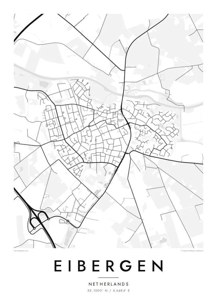
The Berkel crosses the town in a gentle winding line. It is the most recognisable feature on the map and gives the municipality of Berkelland its name.
Qeeqabak kaartah poster · Netherlands
52.1000° N / 6.6486° E
A compact Achterhoek town strung along the Berkel, its streets opening onto a patchwork of fields and wooded farmsteads.


Inki magaala, konoy gaba
Qande inkih tibbixeeh derre baguley table. Kulli qande missoowa caagid—daabbisimta, dirbaabu-le kaadu HD fayla akah.
 Cagalah pixels · 24 × 36″ daabbi fayla
Maxxaacah qeeqa
Tama usuk cagalah daabbi faylak 100% qambaala. Kulli poster — daabbisimta, dirbaabu-le kaadu download geytimta — ni-server-ittal 300 DPI-l ederimta, 7,200 × 10,800 pixels fanah, tokkel iyyi ellee catoy 24 × 36″ daabbi baxsi bahisak raaqu.
Gidarih


Kaarta
Seen from above, Eibergen is a small, tightly knit town set in the eastern Netherlands, close to the German border. The river Berkel curves through the town, and the main streets gather near it before loosening into residential lanes. Past the last houses the map changes to open farmland with scattered farms, tree lines and narrow country roads, the typical landscape of the Achterhoek.
Eibergen is part of the municipality of Berkelland, which is named after the same river that shapes the town. On paper the Berkel is the thread that holds everything together, a thin winding line that enters from the east and leaves again to the west. The built-up area around it is modest, and that makes the pattern of streets easy to read at a glance.
A Eibergen map poster shows how a Dutch country town fits into its surroundings. The older centre, the newer neighbourhoods and the roads leading out towards nearby villages all show up in clean black lines on a white ground. Because the town is small, the poster can take in a good share of the countryside too, so the open fields around it become part of the picture.
The Berkel crosses the town in a gentle winding line. It is the most recognisable feature on the map and gives the municipality of Berkelland its name.
Around the town the street grid thins into country roads, field boundaries and lines of trees, the quiet, finely divided farmland typical of this corner of Gelderland.
Eibergen lies close to the German border, and the roads leaving town point east as naturally as they point towards the rest of the Netherlands.
Kok tanim ab
Ayro, migaq hinnay kok tan xagar osis; gaba, ballaqa hinnay xiqa soorris.
Free preview qansarissi kee watermark-le. Daabbisimtaan kee HD fayla 300 DPI-l, 7,200 × 10,800 px fanah, watermark maleh ederimta.
Macah Eibergen
For anyone who grew up in Eibergen, or who cycled along the Berkel on long summer evenings, this map is a quiet reminder of home. It suits a hallway or a study, where the detail can be looked at up close without taking over the room.
You can change the title, the subtitle and the coordinates line to mark a family name, a move or an anniversary. Choose Classic black & white, Noir, Paper, Blueprint or Sand to match your room, then download the $9 HD files or order a printed poster, framed if you like.
Eibergen poster orme| Maxxaacah ballaqa | Qeeqa | Faylal |
|---|---|---|
| 30 × 40 cm (11.8 × 15.7″) | 3,543 × 4,724 px | PNG · PDF |
| 29.7 × 42 cm (A3, 11.7 × 16.5″) | 3,508 × 4,961 px | PNG · PDF |
| 42 × 59.4 cm (A2, 16.5 × 23.4″) | 4,961 × 7,016 px | PNG · PDF |
| 45.7 × 61 cm (18 × 24″) | 5,400 × 7,200 px | PNG · PDF |
| 50 × 70 cm (19.7 × 27.6″) | 5,906 × 8,268 px | PNG · PDF |
| 61 × 91.4 cm (24 × 36″) | 7,200 × 10,800 px | PNG · PDF |
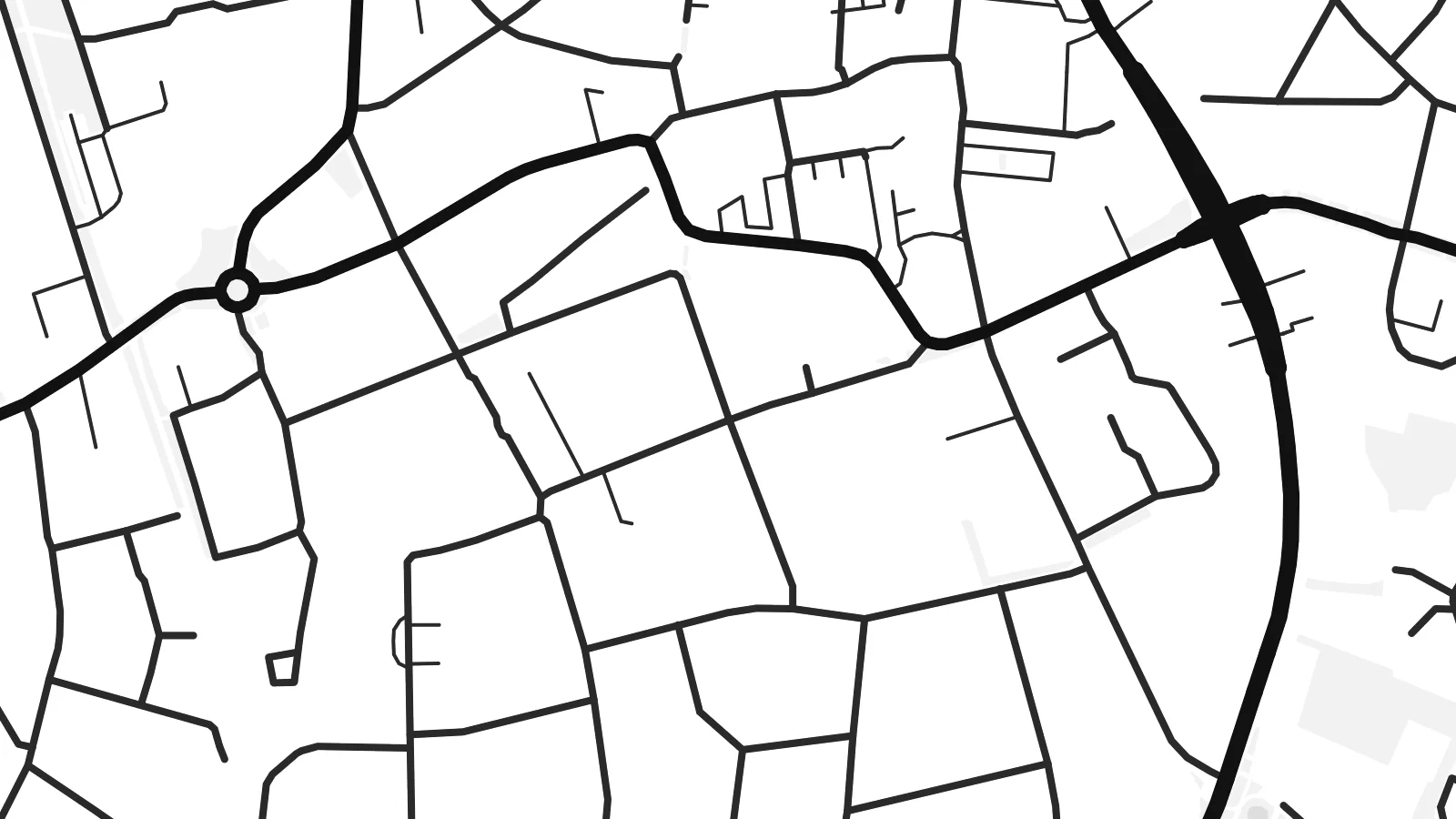
Tabbaltah, limo-wayta xaqqa-le ablo 900 px ballaqa le, asta le, iskiriinih keh tan. HD faylal gexsoh inkih addal 8× fanah qeeqa le, poster ballaqa inkih addal meqeh maxxaacimta.
Baxxaqqa qari le qandiy dooriy, tohuk lakal Daabbisimtah Poster — kutuk kee, faxximek, dirbaabu — hinnay HD Digital Fayla dooru. Checkout inki wagitti geytima, kaadu ku-orme page keenih adissa akke waqdi caagoy kummite.
Usuk 200 gsm-le catam kutuk warqatal, lica katiy caagitte {printFrom}-ik hane ayta 30 × 40 cm-ik 24 × 36″ fanah, xaagu keenil warreeh.
Ee. Sarrah-le dirbaabu doori — bad, gudduc, oak-le hinnay bad-madabuy. Usuk finqisiimam ellee sange qarab-le kaadu qari umukku iyya keenih taagu. Dirbaabu-le poster {framedFrom}-ik hane, xaagu keenil warreeh.
Xaagu addunyal inkih cisab-le. Kulli poster 30+ ummattak ni-daabbi-mara mananih xayyoysa kaadu 3–7 caagu-ayróh fanah geeytima. Ku-orme kee xaagu tarikiy My Orders addal ablitta.
Geytimeek 14 ayróy addal foto naah rubbaay, cisab-le daabbisiynah hinnay ku-lacay gacisnaah.
Ee. Tama page-l edito addal, migaaq, subtitle kee coordinates sarrah faxxem fanah badal, kaadu qande kee katiy doori. Daabbisimtah, dirbaabu-le kaadu digital orme inkih ku-design cagalah yekkelen.
$9 bacisak 300 DPI PNG kee daabbisimtah adissime PDF fayla lica katiy inkih, watermark maleh, ayyi meki daabbisimtah geeytitta. Cisab makkoysemty ana? Awqak, watermark-le free preview download-eh.
Xayyo
