Fuji slopes
The west of the map rises towards the volcano through forest and open ground. The grid fades away as the land climbs higher.
Qeeqabak kaartah poster · Japan
35.3186° N / 138.9434° E
A town on the eastern foot of Mount Fuji, its streets spreading across long volcanic slopes and upland plains


Inki magaala, konoy gaba
Qande inkih tibbixeeh derre baguley table. Kulli qande missoowa caagid—daabbisimta, dirbaabu-le kaadu HD fayla akah.
 Cagalah pixels · 24 × 36″ daabbi fayla
Maxxaacah qeeqa
Tama usuk cagalah daabbi faylak 100% qambaala. Kulli poster — daabbisimta, dirbaabu-le kaadu download geytimta — ni-server-ittal 300 DPI-l ederimta, 7,200 × 10,800 pixels fanah, tokkel iyyi ellee catoy 24 × 36″ daabbi baxsi bahisak raaqu.
Gidarih


Kaarta
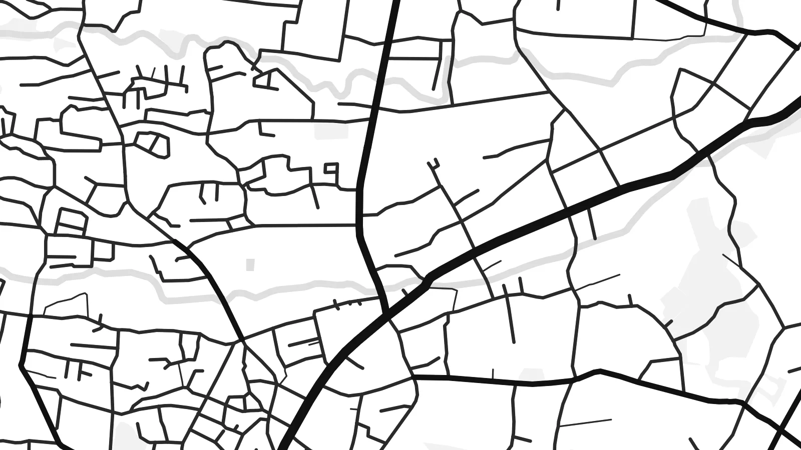
Gotemba lies on the eastern side of Mount Fuji, and the mountain shapes everything on its map. The town spreads across a sloping upland plain. Roads run upward towards the peak, and the land rises steadily to the west, where the streets thin out into forest, lava fields and open training grounds.
The centre forms around the station on the JR Gotemba Line and the old roads through the valley. Around it lie residential districts, farmland and the main expressway, which link the town to Tokyo and Nagoya. Big open areas to the north-west are military training land, including Camp Fuji, used by US forces.
Most visitors know Gotemba as the start of one of the Fuji climbing routes, or for its large premium outlet mall with views of the peak. A Gotemba map poster shows the town and its setting, with a built-up area spreading out below the huge, mostly empty slopes of Japan's highest mountain.
The west of the map rises towards the volcano through forest and open ground. The grid fades away as the land climbs higher.
One of the main climbing routes to the summit begins above the town. It links the streets directly to the mountain.
The Tomei Expressway and the local roads run through the valley. They draw long, sweeping lines that connect Gotemba with Tokyo and the Pacific coast.
Kok tanim ab
Ayro, migaq hinnay kok tan xagar osis; gaba, ballaqa hinnay xiqa soorris.
Free preview qansarissi kee watermark-le. Daabbisimtaan kee HD fayla 300 DPI-l, 7,200 × 10,800 px fanah, watermark maleh ederimta.
Macah Gotemba
Gotemba is a meaningful map for climbers who started their ascent there, for people who lived by the mountain, and for anyone who remembers Fuji appearing above the rooftops on a clear morning. It is a map of a place defined by what towers above it.
Add the date you reached the summit, or a simple title and subtitle, and adjust the coordinates line. Pick from Classic black & white, Noir, Paper, Blueprint and Sand. Digital files come in six sizes, and printed posters are shipped by partners in more than 30 countries.
Gotemba poster orme| Maxxaacah ballaqa | Qeeqa | Faylal |
|---|---|---|
| 30 × 40 cm (11.8 × 15.7″) | 3,543 × 4,724 px | PNG · PDF |
| 29.7 × 42 cm (A3, 11.7 × 16.5″) | 3,508 × 4,961 px | PNG · PDF |
| 42 × 59.4 cm (A2, 16.5 × 23.4″) | 4,961 × 7,016 px | PNG · PDF |
| 45.7 × 61 cm (18 × 24″) | 5,400 × 7,200 px | PNG · PDF |
| 50 × 70 cm (19.7 × 27.6″) | 5,906 × 8,268 px | PNG · PDF |
| 61 × 91.4 cm (24 × 36″) | 7,200 × 10,800 px | PNG · PDF |
Tabbaltah, limo-wayta xaqqa-le ablo 900 px ballaqa le, asta le, iskiriinih keh tan. HD faylal gexsoh inkih addal 8× fanah qeeqa le, poster ballaqa inkih addal meqeh maxxaacimta.
Baxxaqqa qari le qandiy dooriy, tohuk lakal Daabbisimtah Poster — kutuk kee, faxximek, dirbaabu — hinnay HD Digital Fayla dooru. Checkout inki wagitti geytima, kaadu ku-orme page keenih adissa akke waqdi caagoy kummite.
Usuk 200 gsm-le catam kutuk warqatal, lica katiy caagitte {printFrom}-ik hane ayta 30 × 40 cm-ik 24 × 36″ fanah, xaagu keenil warreeh.
Ee. Sarrah-le dirbaabu doori — bad, gudduc, oak-le hinnay bad-madabuy. Usuk finqisiimam ellee sange qarab-le kaadu qari umukku iyya keenih taagu. Dirbaabu-le poster {framedFrom}-ik hane, xaagu keenil warreeh.
Xaagu addunyal inkih cisab-le. Kulli poster 30+ ummattak ni-daabbi-mara mananih xayyoysa kaadu 3–7 caagu-ayróh fanah geeytima. Ku-orme kee xaagu tarikiy My Orders addal ablitta.
Geytimeek 14 ayróy addal foto naah rubbaay, cisab-le daabbisiynah hinnay ku-lacay gacisnaah.
Ee. Tama page-l edito addal, migaaq, subtitle kee coordinates sarrah faxxem fanah badal, kaadu qande kee katiy doori. Daabbisimtah, dirbaabu-le kaadu digital orme inkih ku-design cagalah yekkelen.
$9 bacisak 300 DPI PNG kee daabbisimtah adissime PDF fayla lica katiy inkih, watermark maleh, ayyi meki daabbisimtah geeytitta. Cisab makkoysemty ana? Awqak, watermark-le free preview download-eh.
Xayyo
