The singel moat
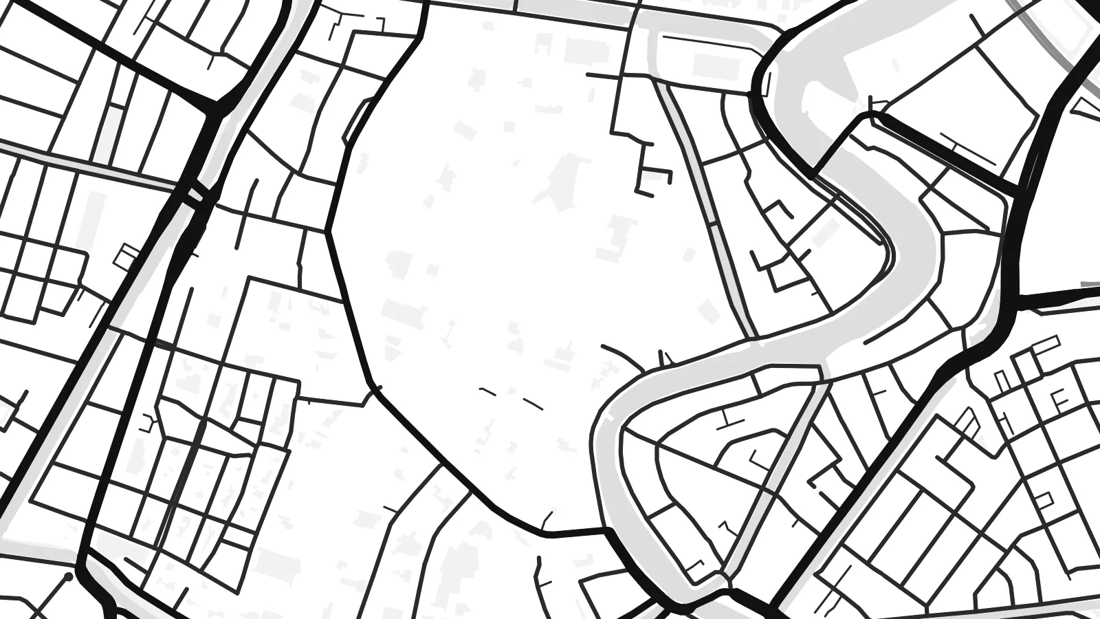
A continuous ring of water follows the lines of the old fortifications, its sharp angles still visible and framing the historic centre like a drawn border.
Qeeqabak kaartah poster · Netherlands
52.3808° N / 4.6368° E
A walled Dutch town traced by its old star-shaped canal, with the Spaarne river curving through the centre


Inki magaala, konoy gaba
Qande inkih tibbixeeh derre baguley table. Kulli qande missoowa caagid—daabbisimta, dirbaabu-le kaadu HD fayla akah.
 Cagalah pixels · 24 × 36″ daabbi fayla
Maxxaacah qeeqa
Tama usuk cagalah daabbi faylak 100% qambaala. Kulli poster — daabbisimta, dirbaabu-le kaadu download geytimta — ni-server-ittal 300 DPI-l ederimta, 7,200 × 10,800 pixels fanah, tokkel iyyi ellee catoy 24 × 36″ daabbi baxsi bahisak raaqu.
Gidarih


Kaarta
Haarlem's plan is easy to read from above. The historic centre is enclosed by a singel, a moat that once followed the town's fortifications and still outlines their angular, star-like shape. Inside it, narrow streets converge on the Grote Markt and the great bulk of St. Bavo's church, while the Spaarne river bends through the eastern side of the old town.
Just west lie the dunes and the North Sea coast at Zandvoort, and to the south the bulb fields begin. Haarlem is the capital of North Holland and the home of Teylers Museum, which opened in 1784 and is the oldest museum in the Netherlands. The town is also known for its hofjes, quiet almshouse courtyards hidden behind ordinary street fronts.
A Haarlem map poster captures a Dutch town at a very human scale. The moat draws a clear boundary around the centre, the river cuts a soft curve through it, and the newer neighbourhoods fill in around the edges in tidy blocks. The contrast between the dense medieval core and the orderly surroundings gives the drawing a strong centre of gravity.
A continuous ring of water follows the lines of the old fortifications, its sharp angles still visible and framing the historic centre like a drawn border.
The Spaarne loops through the east side of the old town, crossed by bridges and lined with quays, adding one smooth curve to an otherwise angular plan.
Streets converge on the central market square beside St. Bavo's church, a dense knot of lanes that anchors the whole composition.
Kok tanim ab
Ayro, migaq hinnay kok tan xagar osis; gaba, ballaqa hinnay xiqa soorris.
Free preview qansarissi kee watermark-le. Daabbisimtaan kee HD fayla 300 DPI-l, 7,200 × 10,800 px fanah, watermark maleh ederimta.
Macah Haarlem
Haarlem tends to stay with people who have lived there, studied there or spent a slow weekend walking its hofjes. The moat-bound centre makes an instantly recognisable shape, handsome enough to hang on its own and personal enough to mark a home or a first address.
Personalise the title, subtitle and coordinates line, and pick Classic black & white, Noir, Paper, Blueprint or Sand. The $9 digital files come in six sizes as 300 DPI PNGs and print-ready PDFs. You can also order a matte print, framed in wood if you like.
Haarlem poster orme| Maxxaacah ballaqa | Qeeqa | Faylal |
|---|---|---|
| 30 × 40 cm (11.8 × 15.7″) | 3,543 × 4,724 px | PNG · PDF |
| 29.7 × 42 cm (A3, 11.7 × 16.5″) | 3,508 × 4,961 px | PNG · PDF |
| 42 × 59.4 cm (A2, 16.5 × 23.4″) | 4,961 × 7,016 px | PNG · PDF |
| 45.7 × 61 cm (18 × 24″) | 5,400 × 7,200 px | PNG · PDF |
| 50 × 70 cm (19.7 × 27.6″) | 5,906 × 8,268 px | PNG · PDF |
| 61 × 91.4 cm (24 × 36″) | 7,200 × 10,800 px | PNG · PDF |
Tabbaltah, limo-wayta xaqqa-le ablo 900 px ballaqa le, asta le, iskiriinih keh tan. HD faylal gexsoh inkih addal 8× fanah qeeqa le, poster ballaqa inkih addal meqeh maxxaacimta.
Baxxaqqa qari le qandiy dooriy, tohuk lakal Daabbisimtah Poster — kutuk kee, faxximek, dirbaabu — hinnay HD Digital Fayla dooru. Checkout inki wagitti geytima, kaadu ku-orme page keenih adissa akke waqdi caagoy kummite.
Usuk 200 gsm-le catam kutuk warqatal, lica katiy caagitte {printFrom}-ik hane ayta 30 × 40 cm-ik 24 × 36″ fanah, xaagu keenil warreeh.
Ee. Sarrah-le dirbaabu doori — bad, gudduc, oak-le hinnay bad-madabuy. Usuk finqisiimam ellee sange qarab-le kaadu qari umukku iyya keenih taagu. Dirbaabu-le poster {framedFrom}-ik hane, xaagu keenil warreeh.
Xaagu addunyal inkih cisab-le. Kulli poster 30+ ummattak ni-daabbi-mara mananih xayyoysa kaadu 3–7 caagu-ayróh fanah geeytima. Ku-orme kee xaagu tarikiy My Orders addal ablitta.
Geytimeek 14 ayróy addal foto naah rubbaay, cisab-le daabbisiynah hinnay ku-lacay gacisnaah.
Ee. Tama page-l edito addal, migaaq, subtitle kee coordinates sarrah faxxem fanah badal, kaadu qande kee katiy doori. Daabbisimtah, dirbaabu-le kaadu digital orme inkih ku-design cagalah yekkelen.
$9 bacisak 300 DPI PNG kee daabbisimtah adissime PDF fayla lica katiy inkih, watermark maleh, ayyi meki daabbisimtah geeytitta. Cisab makkoysemty ana? Awqak, watermark-le free preview download-eh.
