The border river
The Itararé river runs along the state line and gives the map a natural western edge between São Paulo and Paraná.
Qeeqabak kaartah poster · Brazil
24.1125° S / 49.3317° W
A frontier town on the São Paulo–Paraná border, laid out in a grid beside the river that gave it its name



Inki magaala, konoy gaba
Qande inkih tibbixeeh derre baguley table. Kulli qande missoowa caagid—daabbisimta, dirbaabu-le kaadu HD fayla akah.
 Cagalah pixels · 24 × 36″ daabbi fayla
Maxxaacah qeeqa
Tama usuk cagalah daabbi faylak 100% qambaala. Kulli poster — daabbisimta, dirbaabu-le kaadu download geytimta — ni-server-ittal 300 DPI-l ederimta, 7,200 × 10,800 pixels fanah, tokkel iyyi ellee catoy 24 × 36″ daabbi baxsi bahisak raaqu.
Gidarih


Kaarta
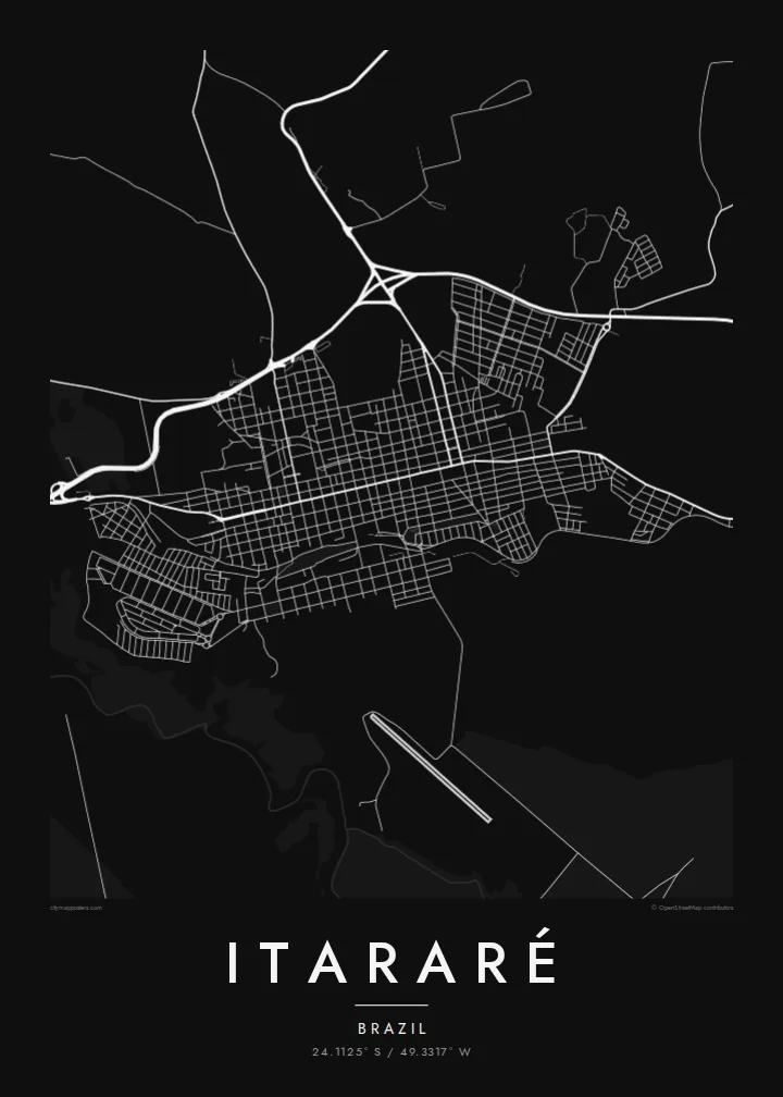
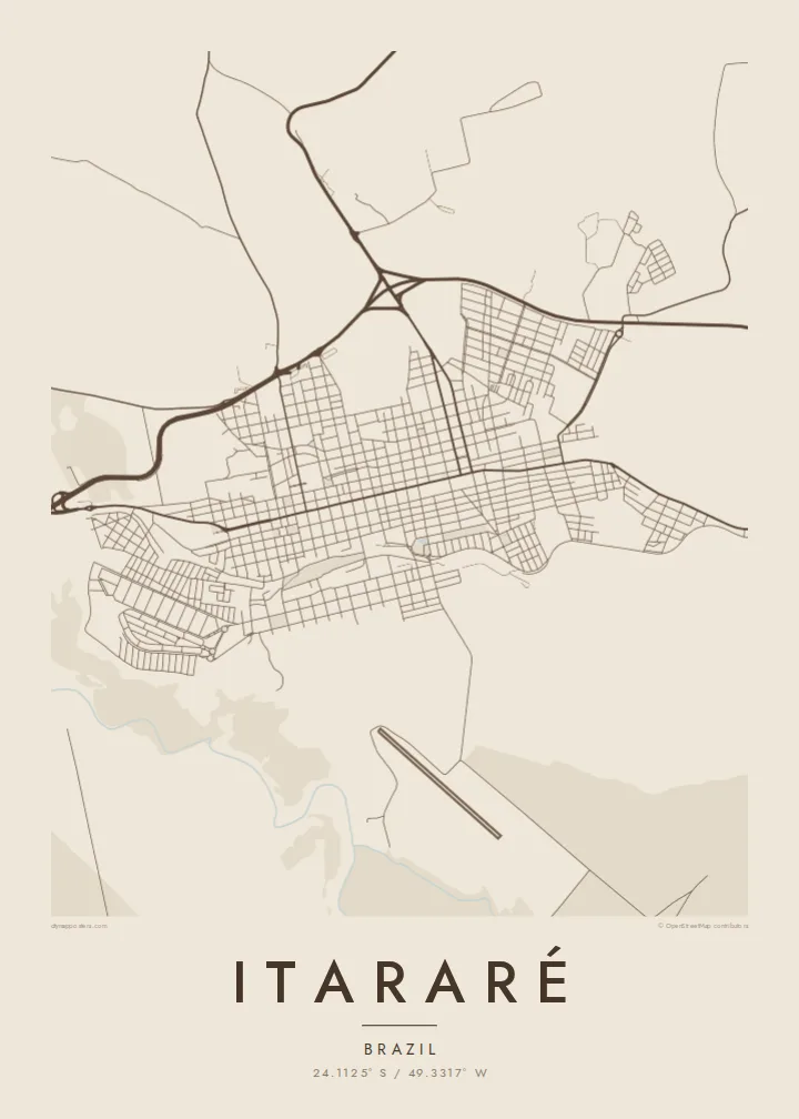
Itararé sits in the far south of São Paulo state, right at the border with Paraná. The Itararé river marks the boundary between the two states. On the map, the town forms a fairly regular grid of blocks on rolling upland, with roads leaving in several directions towards farmland and neighbouring towns. The river valley to the west is cut into the landscape.
The name comes from Tupi and is usually translated as stone carved by water, which fits the eroded river gorges in the region. Itararé is also famous in Brazilian history for the battle that never happened. In 1930, government and revolutionary forces were expected to clash near the town, but the fighting was called off before it started.
An Itararé map poster shows a border town in its simplest form: a compact grid, a few long approach roads and the line of a river that divides two states. The humorist Apparício Torelly took his pen name, Barão de Itararé, from the non-battle, and that story gives this quiet map a wry footnote.
The Itararé river runs along the state line and gives the map a natural western edge between São Paulo and Paraná.
The central blocks are laid out regularly on gently rolling ground, and a small number of main roads carry traffic in and out of town.
Highways leave the town towards both São Paulo and Paraná, drawing long lines that show its position as a crossing point.
Kok tanim ab
Ayro, migaq hinnay kok tan xagar osis; gaba, ballaqa hinnay xiqa soorris.
Free preview qansarissi kee watermark-le. Daabbisimtaan kee HD fayla 300 DPI-l, 7,200 × 10,800 px fanah, watermark maleh ederimta.
Macah Itararé
People hang Itararé for family ties, for a childhood in the interior or for its odd place in the history of 1930. The simple grid next to the border river makes a clean, balanced picture on the wall.
The title, subtitle and coordinates line are all editable, so the poster can carry a name, a date or a private joke about the battle that never was. Pick from five styles: Classic black & white, Noir, Paper, Blueprint or Sand.
Itararé poster orme| Maxxaacah ballaqa | Qeeqa | Faylal |
|---|---|---|
| 30 × 40 cm (11.8 × 15.7″) | 3,543 × 4,724 px | PNG · PDF |
| 29.7 × 42 cm (A3, 11.7 × 16.5″) | 3,508 × 4,961 px | PNG · PDF |
| 42 × 59.4 cm (A2, 16.5 × 23.4″) | 4,961 × 7,016 px | PNG · PDF |
| 45.7 × 61 cm (18 × 24″) | 5,400 × 7,200 px | PNG · PDF |
| 50 × 70 cm (19.7 × 27.6″) | 5,906 × 8,268 px | PNG · PDF |
| 61 × 91.4 cm (24 × 36″) | 7,200 × 10,800 px | PNG · PDF |
Tabbaltah, limo-wayta xaqqa-le ablo 900 px ballaqa le, asta le, iskiriinih keh tan. HD faylal gexsoh inkih addal 8× fanah qeeqa le, poster ballaqa inkih addal meqeh maxxaacimta.
Baxxaqqa qari le qandiy dooriy, tohuk lakal Daabbisimtah Poster — kutuk kee, faxximek, dirbaabu — hinnay HD Digital Fayla dooru. Checkout inki wagitti geytima, kaadu ku-orme page keenih adissa akke waqdi caagoy kummite.
Usuk 200 gsm-le catam kutuk warqatal, lica katiy caagitte {printFrom}-ik hane ayta 30 × 40 cm-ik 24 × 36″ fanah, xaagu keenil warreeh.
Ee. Sarrah-le dirbaabu doori — bad, gudduc, oak-le hinnay bad-madabuy. Usuk finqisiimam ellee sange qarab-le kaadu qari umukku iyya keenih taagu. Dirbaabu-le poster {framedFrom}-ik hane, xaagu keenil warreeh.
Xaagu addunyal inkih cisab-le. Kulli poster 30+ ummattak ni-daabbi-mara mananih xayyoysa kaadu 3–7 caagu-ayróh fanah geeytima. Ku-orme kee xaagu tarikiy My Orders addal ablitta.
Geytimeek 14 ayróy addal foto naah rubbaay, cisab-le daabbisiynah hinnay ku-lacay gacisnaah.
Ee. Tama page-l edito addal, migaaq, subtitle kee coordinates sarrah faxxem fanah badal, kaadu qande kee katiy doori. Daabbisimtah, dirbaabu-le kaadu digital orme inkih ku-design cagalah yekkelen.
$9 bacisak 300 DPI PNG kee daabbisimtah adissime PDF fayla lica katiy inkih, watermark maleh, ayyi meki daabbisimtah geeytitta. Cisab makkoysemty ana? Awqak, watermark-le free preview download-eh.
