Main road spine
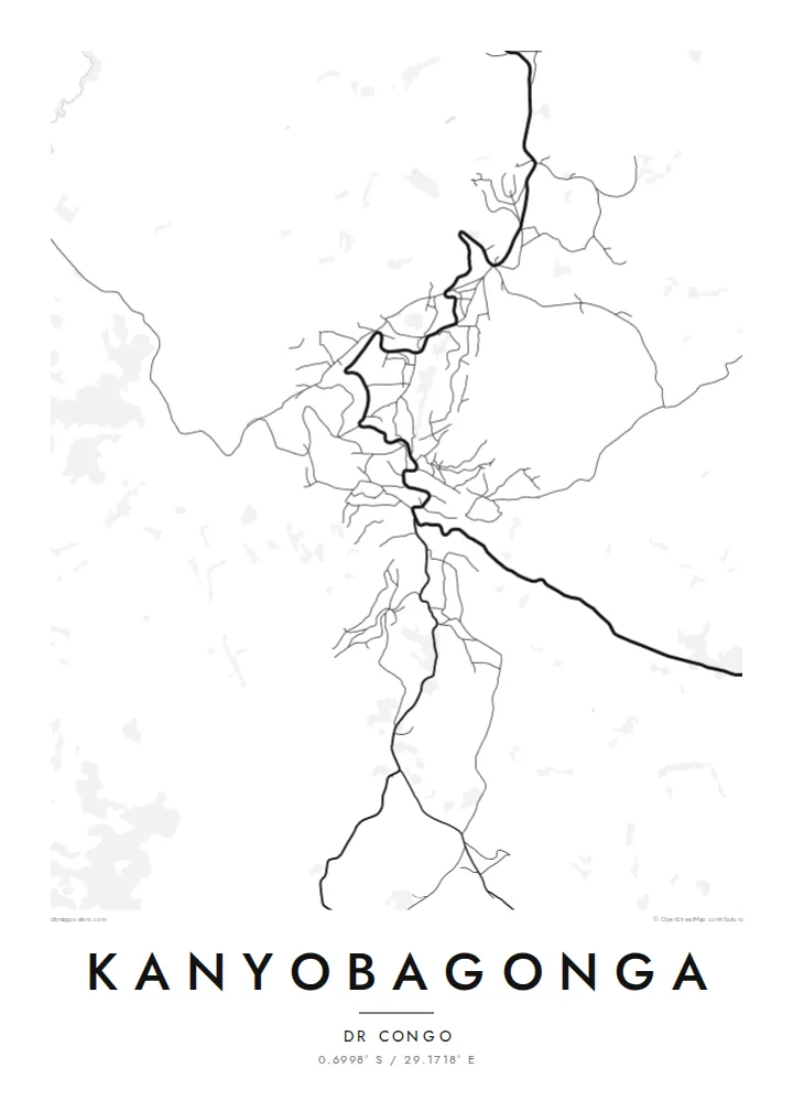
The national road running between Goma and Butembo forms the backbone of the town, a single winding line along which most of the streets and buildings are arranged.
Qeeqabak kaartah poster · Congo - Kinshasa
0.6998° S / 29.1718° E
A highland town strung along the main road through North Kivu, its streets folded into the ridges and valleys around it.


Inki magaala, konoy gaba
Qande inkih tibbixeeh derre baguley table. Kulli qande missoowa caagid—daabbisimta, dirbaabu-le kaadu HD fayla akah.
 Cagalah pixels · 24 × 36″ daabbi fayla
Maxxaacah qeeqa
Tama usuk cagalah daabbi faylak 100% qambaala. Kulli poster — daabbisimta, dirbaabu-le kaadu download geytimta — ni-server-ittal 300 DPI-l ederimta, 7,200 × 10,800 pixels fanah, tokkel iyyi ellee catoy 24 × 36″ daabbi baxsi bahisak raaqu.
Gidarih


Kaarta
Kanyobagonga lies in the highlands of North Kivu in the eastern Democratic Republic of the Congo, on the main road that links Goma in the south with Butembo and Beni to the north. The town has grown along this route, and from above it reads as a linear settlement that follows the road as it bends across hilly terrain, with side streets branching toward the slopes.
The landscape around the town is one of steep hills, cultivated fields and valleys, typical of the Kivu highlands, where small farm plots climb the hillsides. On the map this terrain shows through the curving roads and irregular blocks, a pattern shaped by contour lines rather than by any planned grid.
A Kanyobagonga map poster offers a restrained record of a town that many know mainly as a stop on the long journey through North Kivu. Rendered in fine lines, the road, the side streets and the surrounding slopes become a quiet image of one particular place in the hills of eastern Congo.
The national road running between Goma and Butembo forms the backbone of the town, a single winding line along which most of the streets and buildings are arranged.
Side roads leave the main route and climb or descend the surrounding slopes, their curves following the terrain and giving the map an organic, contour-like texture.
Beyond the built-up area, the hills are divided into small cultivated plots, a finely broken pattern that frames the town on the poster and emphasises the relief.
Kok tanim ab
Ayro, migaq hinnay kok tan xagar osis; gaba, ballaqa hinnay xiqa soorris.
Free preview qansarissi kee watermark-le. Daabbisimtaan kee HD fayla 300 DPI-l, 7,200 × 10,800 px fanah, watermark maleh ederimta.
Macah Kanyobagonga
For people from Kanyobagonga, a map is a way to hold on to the shape of home: the road through town, the hills, the streets where family lives. It makes a meaningful gift for relatives far away.
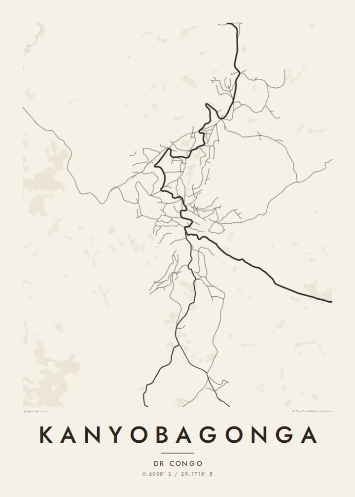
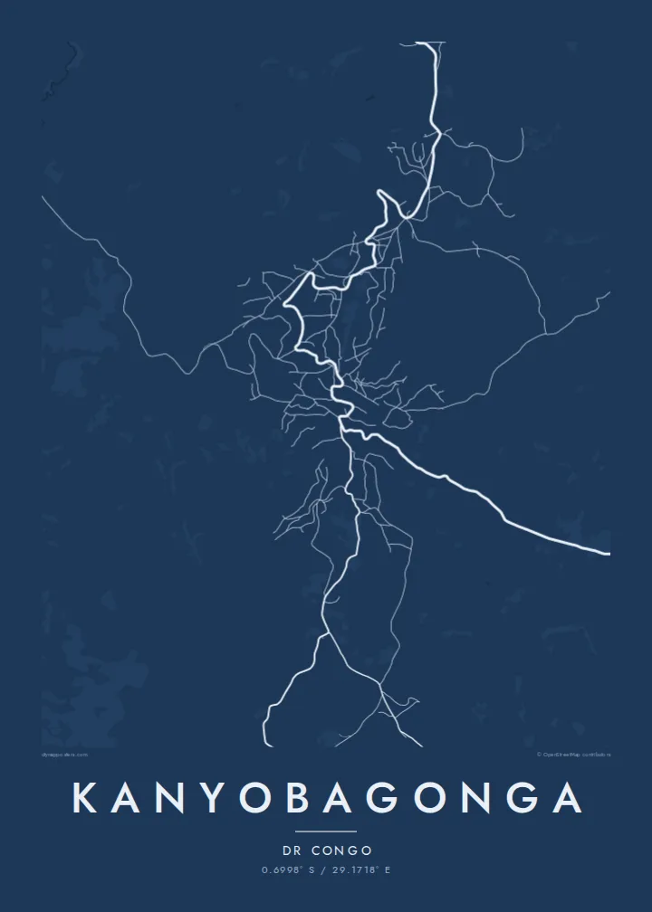
Write your own title and subtitle, add a date or a family name, and choose one of five styles: Classic black & white, Noir, Paper, Blueprint or Sand. A free 900 px preview is available, and HD files for printing cost $9.
Kanyobagonga poster orme| Maxxaacah ballaqa | Qeeqa | Faylal |
|---|---|---|
| 30 × 40 cm (11.8 × 15.7″) | 3,543 × 4,724 px | PNG · PDF |
| 29.7 × 42 cm (A3, 11.7 × 16.5″) | 3,508 × 4,961 px | PNG · PDF |
| 42 × 59.4 cm (A2, 16.5 × 23.4″) | 4,961 × 7,016 px | PNG · PDF |
| 45.7 × 61 cm (18 × 24″) | 5,400 × 7,200 px | PNG · PDF |
| 50 × 70 cm (19.7 × 27.6″) | 5,906 × 8,268 px | PNG · PDF |
| 61 × 91.4 cm (24 × 36″) | 7,200 × 10,800 px | PNG · PDF |
Tabbaltah, limo-wayta xaqqa-le ablo 900 px ballaqa le, asta le, iskiriinih keh tan. HD faylal gexsoh inkih addal 8× fanah qeeqa le, poster ballaqa inkih addal meqeh maxxaacimta.
Baxxaqqa qari le qandiy dooriy, tohuk lakal Daabbisimtah Poster — kutuk kee, faxximek, dirbaabu — hinnay HD Digital Fayla dooru. Checkout inki wagitti geytima, kaadu ku-orme page keenih adissa akke waqdi caagoy kummite.
Usuk 200 gsm-le catam kutuk warqatal, lica katiy caagitte {printFrom}-ik hane ayta 30 × 40 cm-ik 24 × 36″ fanah, xaagu keenil warreeh.
Ee. Sarrah-le dirbaabu doori — bad, gudduc, oak-le hinnay bad-madabuy. Usuk finqisiimam ellee sange qarab-le kaadu qari umukku iyya keenih taagu. Dirbaabu-le poster {framedFrom}-ik hane, xaagu keenil warreeh.
Xaagu addunyal inkih cisab-le. Kulli poster 30+ ummattak ni-daabbi-mara mananih xayyoysa kaadu 3–7 caagu-ayróh fanah geeytima. Ku-orme kee xaagu tarikiy My Orders addal ablitta.
Geytimeek 14 ayróy addal foto naah rubbaay, cisab-le daabbisiynah hinnay ku-lacay gacisnaah.
Ee. Tama page-l edito addal, migaaq, subtitle kee coordinates sarrah faxxem fanah badal, kaadu qande kee katiy doori. Daabbisimtah, dirbaabu-le kaadu digital orme inkih ku-design cagalah yekkelen.
$9 bacisak 300 DPI PNG kee daabbisimtah adissime PDF fayla lica katiy inkih, watermark maleh, ayyi meki daabbisimtah geeytitta. Cisab makkoysemty ana? Awqak, watermark-le free preview download-eh.
Xayyo
