Third Mainland Bridge
A long, gently curving line across the lagoon from the mainland to Lagos Island. On the poster it is one of the most striking single strokes, crossing open water with nothing on either side.
Qeeqabak kaartah poster · Nigeria
6.4541° N / 3.3947° E
Islands, lagoons and long bridges where the city meets the Atlantic along a straight sandy coastline

Inki magaala, konoy gaba
Qande inkih tibbixeeh derre baguley table. Kulli qande missoowa caagid—daabbisimta, dirbaabu-le kaadu HD fayla akah.
 Cagalah pixels · 24 × 36″ daabbi fayla
Maxxaacah qeeqa
Tama usuk cagalah daabbi faylak 100% qambaala. Kulli poster — daabbisimta, dirbaabu-le kaadu download geytimta — ni-server-ittal 300 DPI-l ederimta, 7,200 × 10,800 pixels fanah, tokkel iyyi ellee catoy 24 × 36″ daabbi baxsi bahisak raaqu.
Gidarih


Kaarta
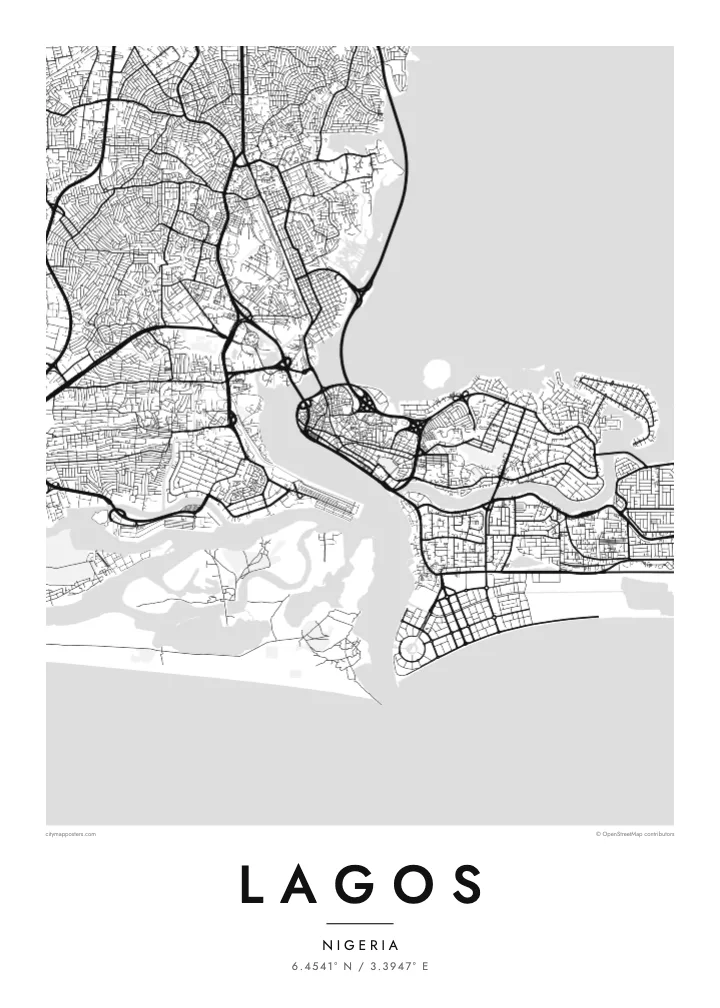
Lagos is a city built across water. The Lagos Lagoon spreads to the north and east, a narrow channel links it to the Atlantic, and the urban area is divided between the mainland and a group of islands: Lagos Island, Ikoyi and Victoria Island. East of them, the Lekki peninsula runs along the coast for many kilometres, pressed between the lagoon on one side and the ocean on the other.
Three main bridges connect the islands to the mainland: the Carter Bridge, the Eko Bridge and the Third Mainland Bridge, which runs for about 11.8 kilometres across the lagoon and is often listed among the longest bridges in Africa. The mainland spreads outward in a dense network of districts such as Yaba, Surulere and Ikeja, while the ocean coastline to the south is almost perfectly straight.
Lagos was Nigeria’s capital until 1991, when the seat of government moved to Abuja, and it remains the country’s commercial centre. Along the Atlantic edge of Victoria Island, Eko Atlantic is being built on land reclaimed from the sea. A Lagos map poster captures a coastline and a lagoon that are still being redrawn.
A long, gently curving line across the lagoon from the mainland to Lagos Island. On the poster it is one of the most striking single strokes, crossing open water with nothing on either side.
The old core of the city occupies these islands, with tight streets on Lagos Island and a looser layout in Ikoyi, separated by a narrow creek and surrounded by lagoon water.
A long strip of land running east along the coast, laid out with estates and roads between the lagoon and the Atlantic, giving the frame a strong horizontal line.
Kok tanim ab
Ayro, migaq hinnay kok tan xagar osis; gaba, ballaqa hinnay xiqa soorris.
Free preview qansarissi kee watermark-le. Daabbisimtaan kee HD fayla 300 DPI-l, 7,200 × 10,800 px fanah, watermark maleh ederimta.
Macah Lagos
People hang Lagos for the city they grew up in, the one they return to for holidays or the one where they built a career. The water and bridges give it a shape that anyone who has crossed the lagoon will recognise at once.
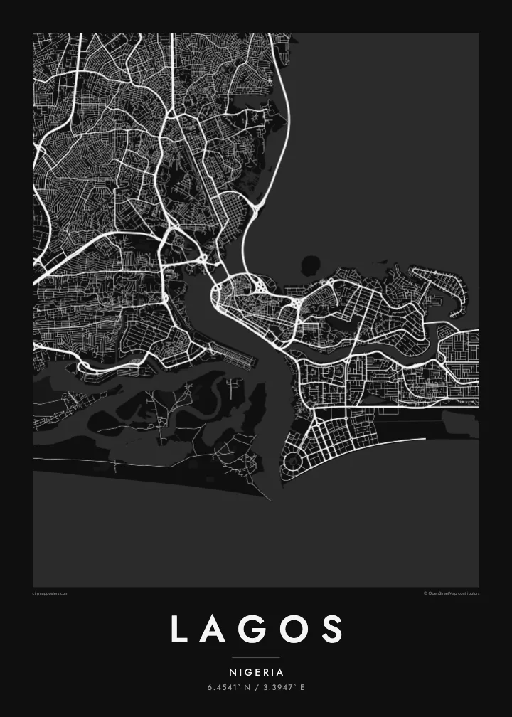
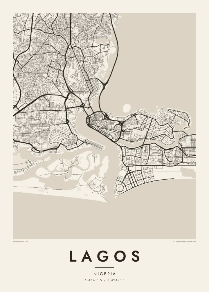
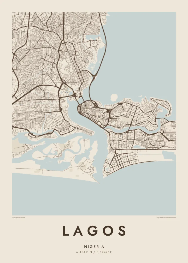
Put your area, your surname or a date in the title and subtitle, and edit the coordinates line to mark a precise spot. Choose from five styles, Classic black & white, Noir, Paper, Blueprint and Sand, and download HD files for $9 or order a printed poster.
Lagos poster orme| Maxxaacah ballaqa | Qeeqa | Faylal |
|---|---|---|
| 30 × 40 cm (11.8 × 15.7″) | 3,543 × 4,724 px | PNG · PDF |
| 29.7 × 42 cm (A3, 11.7 × 16.5″) | 3,508 × 4,961 px | PNG · PDF |
| 42 × 59.4 cm (A2, 16.5 × 23.4″) | 4,961 × 7,016 px | PNG · PDF |
| 45.7 × 61 cm (18 × 24″) | 5,400 × 7,200 px | PNG · PDF |
| 50 × 70 cm (19.7 × 27.6″) | 5,906 × 8,268 px | PNG · PDF |
| 61 × 91.4 cm (24 × 36″) | 7,200 × 10,800 px | PNG · PDF |
Tabbaltah, limo-wayta xaqqa-le ablo 900 px ballaqa le, asta le, iskiriinih keh tan. HD faylal gexsoh inkih addal 8× fanah qeeqa le, poster ballaqa inkih addal meqeh maxxaacimta.
Baxxaqqa qari le qandiy dooriy, tohuk lakal Daabbisimtah Poster — kutuk kee, faxximek, dirbaabu — hinnay HD Digital Fayla dooru. Checkout inki wagitti geytima, kaadu ku-orme page keenih adissa akke waqdi caagoy kummite.
Usuk 200 gsm-le catam kutuk warqatal, lica katiy caagitte {printFrom}-ik hane ayta 30 × 40 cm-ik 24 × 36″ fanah, xaagu keenil warreeh.
Ee. Sarrah-le dirbaabu doori — bad, gudduc, oak-le hinnay bad-madabuy. Usuk finqisiimam ellee sange qarab-le kaadu qari umukku iyya keenih taagu. Dirbaabu-le poster {framedFrom}-ik hane, xaagu keenil warreeh.
Xaagu addunyal inkih cisab-le. Kulli poster 30+ ummattak ni-daabbi-mara mananih xayyoysa kaadu 3–7 caagu-ayróh fanah geeytima. Ku-orme kee xaagu tarikiy My Orders addal ablitta.
Geytimeek 14 ayróy addal foto naah rubbaay, cisab-le daabbisiynah hinnay ku-lacay gacisnaah.
Ee. Tama page-l edito addal, migaaq, subtitle kee coordinates sarrah faxxem fanah badal, kaadu qande kee katiy doori. Daabbisimtah, dirbaabu-le kaadu digital orme inkih ku-design cagalah yekkelen.
$9 bacisak 300 DPI PNG kee daabbisimtah adissime PDF fayla lica katiy inkih, watermark maleh, ayyi meki daabbisimtah geeytitta. Cisab makkoysemty ana? Awqak, watermark-le free preview download-eh.
Xayyo
