The Congo River
The river runs past the town in a wide sweep, split into channels by long islands. It takes up most of the frame and gives the poster its sense of scale.
Qeeqabak kaartah poster · Congo - Kinshasa
2.1513° N / 21.5167° E
A river town on the northern bank of the Congo, its streets meeting the broad water along a long, curving shoreline


Inki magaala, konoy gaba
Qande inkih tibbixeeh derre baguley table. Kulli qande missoowa caagid—daabbisimta, dirbaabu-le kaadu HD fayla akah.
 Cagalah pixels · 24 × 36″ daabbi fayla
Maxxaacah qeeqa
Tama usuk cagalah daabbi faylak 100% qambaala. Kulli poster — daabbisimta, dirbaabu-le kaadu download geytimta — ni-server-ittal 300 DPI-l ederimta, 7,200 × 10,800 pixels fanah, tokkel iyyi ellee catoy 24 × 36″ daabbi baxsi bahisak raaqu.
Gidarih


Kaarta
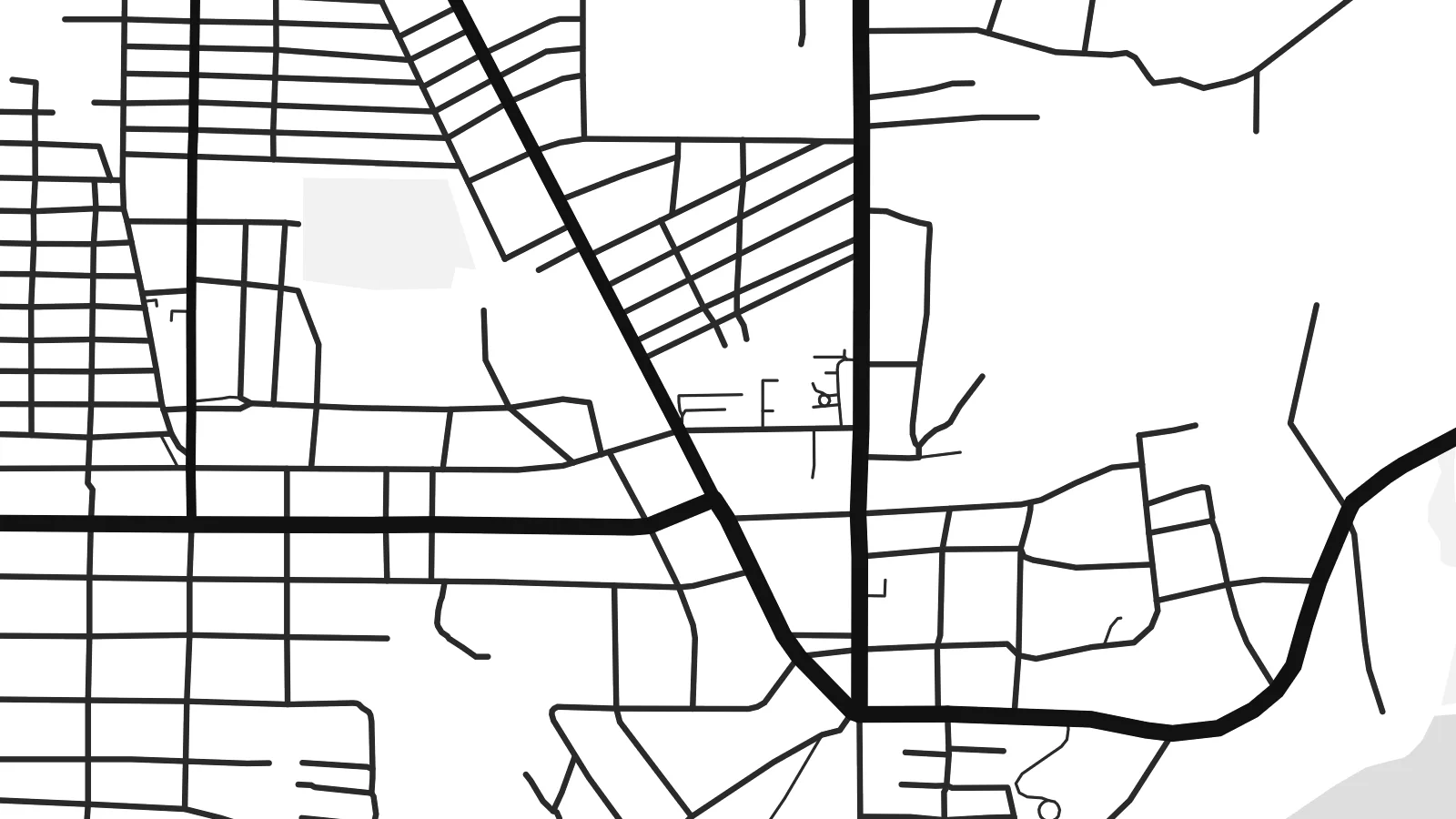
Lisala lies on the north bank of the Congo River in the country's northwest, where the river runs wide and slow and is broken up by long, forested islands. On a map, the water dominates. The town is a modest band of streets pressed against the bank, and the river beyond it, with its channels and islands, fills much of the frame. Inland, the streets give way quickly to forest and scattered settlement.
As the capital of Mongala province, Lisala has long been a river port, and boats on the Congo link it to Kinshasa downstream and Kisangani upstream. It is also known as the birthplace of Mobutu Sese Seko, who was born here in 1930. A Lisala map poster reflects the town's orientation toward the river: its streets run parallel to the waterline or lead down to the landing points.
In monochrome, the contrast is dramatic. The river appears as a large, calm shape crossed by the outlines of islands and sandbanks, and the town forms a thin, detailed edge along one side. It is an unusual composition for a city map, one where the landscape clearly matters more than the street grid.
The river runs past the town in a wide sweep, split into channels by long islands. It takes up most of the frame and gives the poster its sense of scale.
Lisala's streets follow the northern bank and form a narrow strip of blocks along the water. Even on paper, it reads as a town that faces the river.
Beyond the last streets, the map opens into sparse tracks and settlement. This marks where the provincial capital gives way to the forest that surrounds it.
Kok tanim ab
Ayro, migaq hinnay kok tan xagar osis; gaba, ballaqa hinnay xiqa soorris.
Free preview qansarissi kee watermark-le. Daabbisimtaan kee HD fayla 300 DPI-l, 7,200 × 10,800 px fanah, watermark maleh ederimta.
Macah Lisala
For people from Mongala, or anyone who has travelled the Congo by boat, Lisala stands for arrival and departure: a town seen first from the water. A map poster keeps that view of the river and the shoreline in a simple, graphic form.
You can change the title, subtitle and coordinates line to mark a birthplace, a journey or a date. The poster comes in five styles: Classic black & white, Noir, Paper, Blueprint and Sand. Buy it as HD digital files for $9 or order it printed on matte paper, with an optional wooden frame.
Lisala poster orme| Maxxaacah ballaqa | Qeeqa | Faylal |
|---|---|---|
| 30 × 40 cm (11.8 × 15.7″) | 3,543 × 4,724 px | PNG · PDF |
| 29.7 × 42 cm (A3, 11.7 × 16.5″) | 3,508 × 4,961 px | PNG · PDF |
| 42 × 59.4 cm (A2, 16.5 × 23.4″) | 4,961 × 7,016 px | PNG · PDF |
| 45.7 × 61 cm (18 × 24″) | 5,400 × 7,200 px | PNG · PDF |
| 50 × 70 cm (19.7 × 27.6″) | 5,906 × 8,268 px | PNG · PDF |
| 61 × 91.4 cm (24 × 36″) | 7,200 × 10,800 px | PNG · PDF |
Tabbaltah, limo-wayta xaqqa-le ablo 900 px ballaqa le, asta le, iskiriinih keh tan. HD faylal gexsoh inkih addal 8× fanah qeeqa le, poster ballaqa inkih addal meqeh maxxaacimta.
Baxxaqqa qari le qandiy dooriy, tohuk lakal Daabbisimtah Poster — kutuk kee, faxximek, dirbaabu — hinnay HD Digital Fayla dooru. Checkout inki wagitti geytima, kaadu ku-orme page keenih adissa akke waqdi caagoy kummite.
Usuk 200 gsm-le catam kutuk warqatal, lica katiy caagitte {printFrom}-ik hane ayta 30 × 40 cm-ik 24 × 36″ fanah, xaagu keenil warreeh.
Ee. Sarrah-le dirbaabu doori — bad, gudduc, oak-le hinnay bad-madabuy. Usuk finqisiimam ellee sange qarab-le kaadu qari umukku iyya keenih taagu. Dirbaabu-le poster {framedFrom}-ik hane, xaagu keenil warreeh.
Xaagu addunyal inkih cisab-le. Kulli poster 30+ ummattak ni-daabbi-mara mananih xayyoysa kaadu 3–7 caagu-ayróh fanah geeytima. Ku-orme kee xaagu tarikiy My Orders addal ablitta.
Geytimeek 14 ayróy addal foto naah rubbaay, cisab-le daabbisiynah hinnay ku-lacay gacisnaah.
Ee. Tama page-l edito addal, migaaq, subtitle kee coordinates sarrah faxxem fanah badal, kaadu qande kee katiy doori. Daabbisimtah, dirbaabu-le kaadu digital orme inkih ku-design cagalah yekkelen.
$9 bacisak 300 DPI PNG kee daabbisimtah adissime PDF fayla lica katiy inkih, watermark maleh, ayyi meki daabbisimtah geeytitta. Cisab makkoysemty ana? Awqak, watermark-le free preview download-eh.
Xayyo
