Moated fort
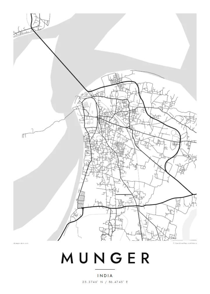
The old fort shows as a distinct enclosure on the riverbank. Its moat and gates form a clear geometric shape among the irregular streets around it.
Qeeqabak kaartah poster · India
25.3746° N / 86.4745° E
A riverside town pressed against the south bank of the Ganges, with an old moated fort at its water's edge.


Inki magaala, konoy gaba
Qande inkih tibbixeeh derre baguley table. Kulli qande missoowa caagid—daabbisimta, dirbaabu-le kaadu HD fayla akah.
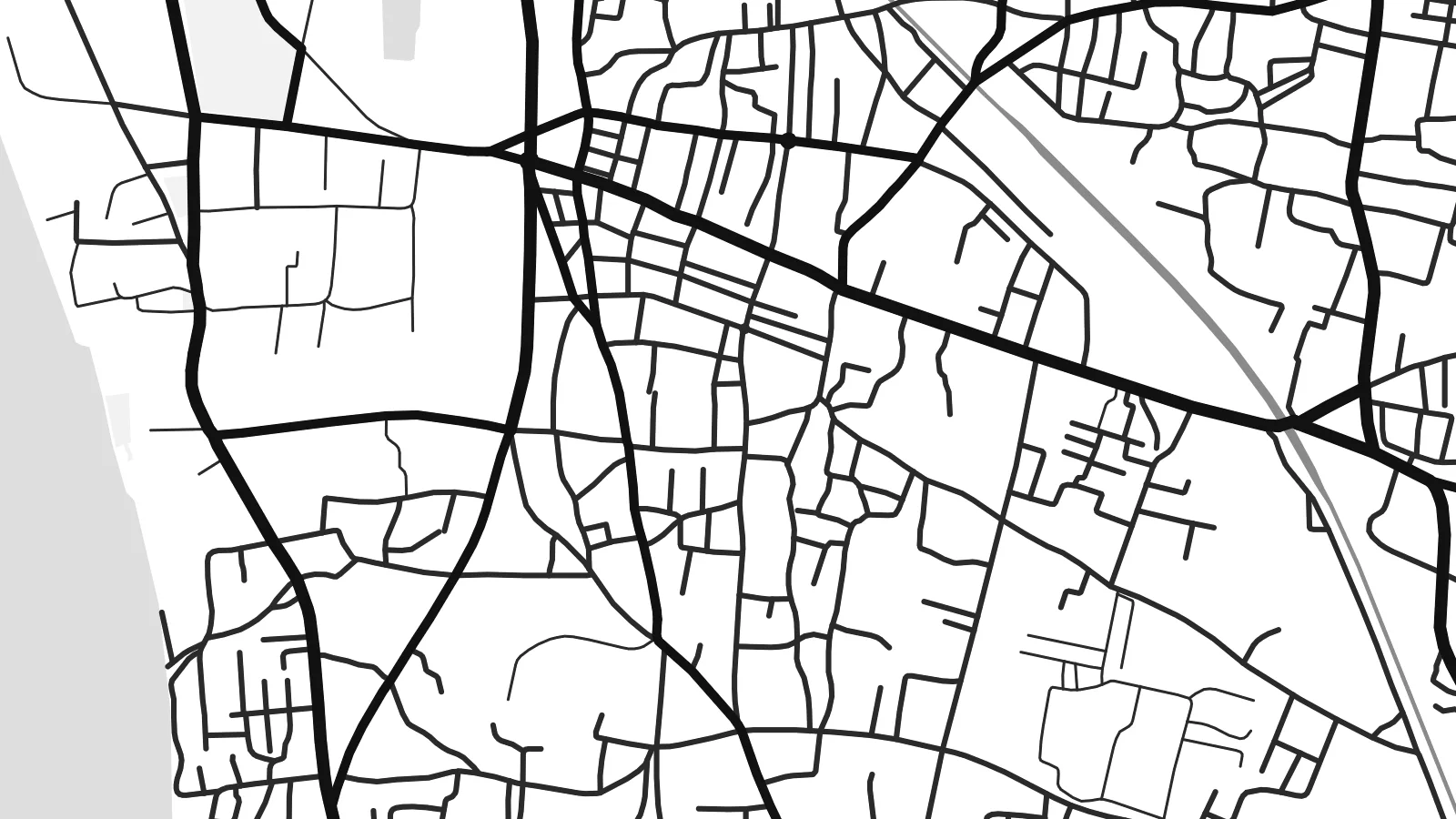 Cagalah pixels · 24 × 36″ daabbi fayla
Maxxaacah qeeqa
Tama usuk cagalah daabbi faylak 100% qambaala. Kulli poster — daabbisimta, dirbaabu-le kaadu download geytimta — ni-server-ittal 300 DPI-l ederimta, 7,200 × 10,800 pixels fanah, tokkel iyyi ellee catoy 24 × 36″ daabbi baxsi bahisak raaqu.
Gidarih


Kaarta
Munger lies on the south bank of the Ganges in eastern Bihar, and the river shapes almost everything about its plan. The town stretches along the water rather than spreading evenly, with the broad channel and its sandbanks filling one side of the frame. Inland the streets become denser and less regular, gathering around markets, rail lines and the older neighbourhoods that grew up behind the riverfront.
The fort is the clearest mark on the map: a walled enclosure beside the river, ringed by a moat. It was a seat of power in the eighteenth century, when Mir Qasim, Nawab of Bengal, made Munger his capital. The town is also known for the Bihar School of Yoga, founded here in the 1960s, and for a long tradition of gun-making.
A Munger map poster captures the point where a crowded inland town meets one of the great rivers of South Asia. The newer Ganga bridge, carrying road and rail to the north bank, adds a long straight line across the water. It looks distinctly modern beside the older street pattern around the fort.
The old fort shows as a distinct enclosure on the riverbank. Its moat and gates form a clear geometric shape among the irregular streets around it.
The river runs along the edge of town in a wide, open band, with seasonal sandbars and channels that give the poster a large area of calm negative space.
A combined rail and road bridge crosses the Ganges near the town, drawing a single long line from Munger to the plains on the opposite bank.
Kok tanim ab
Ayro, migaq hinnay kok tan xagar osis; gaba, ballaqa hinnay xiqa soorris.
Free preview qansarissi kee watermark-le. Daabbisimtaan kee HD fayla 300 DPI-l, 7,200 × 10,800 px fanah, watermark maleh ederimta.
Macah Munger
For people from Munger, the map holds the ghats, the fort walls and the lanes leading back from the river. For yoga students who trained here, it marks a place of long practice. Either way, the combination of river and fort reads clearly on a wall.
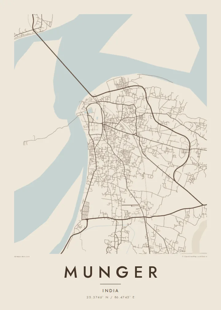
Personalise the title, subtitle and coordinates line, then pick one of five styles, from Classic black & white to Blueprint or the warm tones of Sand. The files come in six print sizes as 300 DPI PNG and print-ready PDF, or you can order a printed matte poster.
Munger poster orme| Maxxaacah ballaqa | Qeeqa | Faylal |
|---|---|---|
| 30 × 40 cm (11.8 × 15.7″) | 3,543 × 4,724 px | PNG · PDF |
| 29.7 × 42 cm (A3, 11.7 × 16.5″) | 3,508 × 4,961 px | PNG · PDF |
| 42 × 59.4 cm (A2, 16.5 × 23.4″) | 4,961 × 7,016 px | PNG · PDF |
| 45.7 × 61 cm (18 × 24″) | 5,400 × 7,200 px | PNG · PDF |
| 50 × 70 cm (19.7 × 27.6″) | 5,906 × 8,268 px | PNG · PDF |
| 61 × 91.4 cm (24 × 36″) | 7,200 × 10,800 px | PNG · PDF |
Tabbaltah, limo-wayta xaqqa-le ablo 900 px ballaqa le, asta le, iskiriinih keh tan. HD faylal gexsoh inkih addal 8× fanah qeeqa le, poster ballaqa inkih addal meqeh maxxaacimta.
Baxxaqqa qari le qandiy dooriy, tohuk lakal Daabbisimtah Poster — kutuk kee, faxximek, dirbaabu — hinnay HD Digital Fayla dooru. Checkout inki wagitti geytima, kaadu ku-orme page keenih adissa akke waqdi caagoy kummite.
Usuk 200 gsm-le catam kutuk warqatal, lica katiy caagitte {printFrom}-ik hane ayta 30 × 40 cm-ik 24 × 36″ fanah, xaagu keenil warreeh.
Ee. Sarrah-le dirbaabu doori — bad, gudduc, oak-le hinnay bad-madabuy. Usuk finqisiimam ellee sange qarab-le kaadu qari umukku iyya keenih taagu. Dirbaabu-le poster {framedFrom}-ik hane, xaagu keenil warreeh.
Xaagu addunyal inkih cisab-le. Kulli poster 30+ ummattak ni-daabbi-mara mananih xayyoysa kaadu 3–7 caagu-ayróh fanah geeytima. Ku-orme kee xaagu tarikiy My Orders addal ablitta.
Geytimeek 14 ayróy addal foto naah rubbaay, cisab-le daabbisiynah hinnay ku-lacay gacisnaah.
Ee. Tama page-l edito addal, migaaq, subtitle kee coordinates sarrah faxxem fanah badal, kaadu qande kee katiy doori. Daabbisimtah, dirbaabu-le kaadu digital orme inkih ku-design cagalah yekkelen.
$9 bacisak 300 DPI PNG kee daabbisimtah adissime PDF fayla lica katiy inkih, watermark maleh, ayyi meki daabbisimtah geeytitta. Cisab makkoysemty ana? Awqak, watermark-le free preview download-eh.
