Hilltop fort
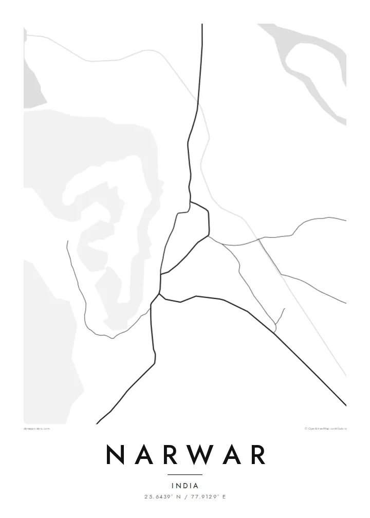
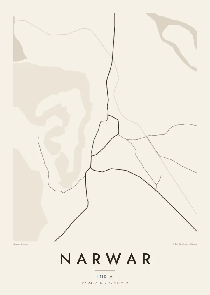
The fort covers the top of a long ridge above the town. Its walls follow the edge of the hill, and that outline is the defining shape of the map.
Qeeqabak kaartah poster · India
25.6439° N / 77.9129° E
An old fort town on the Sindh river, its streets gathered below a long hilltop citadel in northern Madhya Pradesh



Inki magaala, konoy gaba
Qande inkih tibbixeeh derre baguley table. Kulli qande missoowa caagid—daabbisimta, dirbaabu-le kaadu HD fayla akah.
 Cagalah pixels · 24 × 36″ daabbi fayla
Maxxaacah qeeqa
Tama usuk cagalah daabbi faylak 100% qambaala. Kulli poster — daabbisimta, dirbaabu-le kaadu download geytimta — ni-server-ittal 300 DPI-l ederimta, 7,200 × 10,800 pixels fanah, tokkel iyyi ellee catoy 24 × 36″ daabbi baxsi bahisak raaqu.
Gidarih


Kaarta
Narwar is a historic town in the Shivpuri district of Madhya Pradesh. It sits on the Sindh river below a long, flat-topped hill crowned by a large fort. Tradition connects the town with the legend of Nala and Damayanti from the Mahabharata, and the fort that looks over it was fought over by several dynasties across the medieval centuries.
From above, the relationship between hill and town is the main feature. The fort's walls follow the edge of the ridge in an irregular outline, and the town lies packed along the lower ground between the hill and the river. Roads cross the surrounding plain toward Shivpuri and Gwalior, and the Sindh bends through the landscape nearby.
A Narwar map poster puts a strong feature at the centre: a fortified ridge with a dense old town pressed against its foot. Few small towns have such a readable shape. Hill, walls, streets and river make a clear and memorable composition for anyone who knows the place or is drawn to its long history.
The fort covers the top of a long ridge above the town. Its walls follow the edge of the hill, and that outline is the defining shape of the map.
The river curves across the plain near the town. It adds a flowing natural line that contrasts with the geometry of the fortifications.
The old streets gather tightly at the foot of the hill, the traditional layout of a settlement that grew in the shelter of a fortress.
Kok tanim ab
Ayro, migaq hinnay kok tan xagar osis; gaba, ballaqa hinnay xiqa soorris.
Free preview qansarissi kee watermark-le. Daabbisimtaan kee HD fayla 300 DPI-l, 7,200 × 10,800 px fanah, watermark maleh ederimta.
Macah Narwar
A map of Narwar suits anyone who comes from the town, as well as readers of Indian history who know it through its fort and legend. The ridge and walls give the poster a strong visual focus.
Personalise the title, subtitle and coordinates to make it yours. Choose Classic black & white, Noir, Paper, Blueprint or Sand. Download HD files in six print sizes for $9, or order a matte print with an optional wooden frame.
Narwar poster orme| Maxxaacah ballaqa | Qeeqa | Faylal |
|---|---|---|
| 30 × 40 cm (11.8 × 15.7″) | 3,543 × 4,724 px | PNG · PDF |
| 29.7 × 42 cm (A3, 11.7 × 16.5″) | 3,508 × 4,961 px | PNG · PDF |
| 42 × 59.4 cm (A2, 16.5 × 23.4″) | 4,961 × 7,016 px | PNG · PDF |
| 45.7 × 61 cm (18 × 24″) | 5,400 × 7,200 px | PNG · PDF |
| 50 × 70 cm (19.7 × 27.6″) | 5,906 × 8,268 px | PNG · PDF |
| 61 × 91.4 cm (24 × 36″) | 7,200 × 10,800 px | PNG · PDF |
Tabbaltah, limo-wayta xaqqa-le ablo 900 px ballaqa le, asta le, iskiriinih keh tan. HD faylal gexsoh inkih addal 8× fanah qeeqa le, poster ballaqa inkih addal meqeh maxxaacimta.
Baxxaqqa qari le qandiy dooriy, tohuk lakal Daabbisimtah Poster — kutuk kee, faxximek, dirbaabu — hinnay HD Digital Fayla dooru. Checkout inki wagitti geytima, kaadu ku-orme page keenih adissa akke waqdi caagoy kummite.
Usuk 200 gsm-le catam kutuk warqatal, lica katiy caagitte {printFrom}-ik hane ayta 30 × 40 cm-ik 24 × 36″ fanah, xaagu keenil warreeh.
Ee. Sarrah-le dirbaabu doori — bad, gudduc, oak-le hinnay bad-madabuy. Usuk finqisiimam ellee sange qarab-le kaadu qari umukku iyya keenih taagu. Dirbaabu-le poster {framedFrom}-ik hane, xaagu keenil warreeh.
Xaagu addunyal inkih cisab-le. Kulli poster 30+ ummattak ni-daabbi-mara mananih xayyoysa kaadu 3–7 caagu-ayróh fanah geeytima. Ku-orme kee xaagu tarikiy My Orders addal ablitta.
Geytimeek 14 ayróy addal foto naah rubbaay, cisab-le daabbisiynah hinnay ku-lacay gacisnaah.
Ee. Tama page-l edito addal, migaaq, subtitle kee coordinates sarrah faxxem fanah badal, kaadu qande kee katiy doori. Daabbisimtah, dirbaabu-le kaadu digital orme inkih ku-design cagalah yekkelen.
$9 bacisak 300 DPI PNG kee daabbisimtah adissime PDF fayla lica katiy inkih, watermark maleh, ayyi meki daabbisimtah geeytitta. Cisab makkoysemty ana? Awqak, watermark-le free preview download-eh.
Xayyo
