Checkerboard historic centre
The old town is a regular grid of straight streets meeting at right angles, one of the clearest planned layouts of any port city in the region.
Qeeqabak kaartah poster · Ukraine
46.4857° N / 30.7438° E
A port city laid out on a strict grid above the Black Sea, its streets ending abruptly at cliffs, harbour piers and long sandy beaches.


Inki magaala, konoy gaba
Qande inkih tibbixeeh derre baguley table. Kulli qande missoowa caagid—daabbisimta, dirbaabu-le kaadu HD fayla akah.
 Cagalah pixels · 24 × 36″ daabbi fayla
Maxxaacah qeeqa
Tama usuk cagalah daabbi faylak 100% qambaala. Kulli poster — daabbisimta, dirbaabu-le kaadu download geytimta — ni-server-ittal 300 DPI-l ederimta, 7,200 × 10,800 pixels fanah, tokkel iyyi ellee catoy 24 × 36″ daabbi baxsi bahisak raaqu.
Gidarih
Kaarta
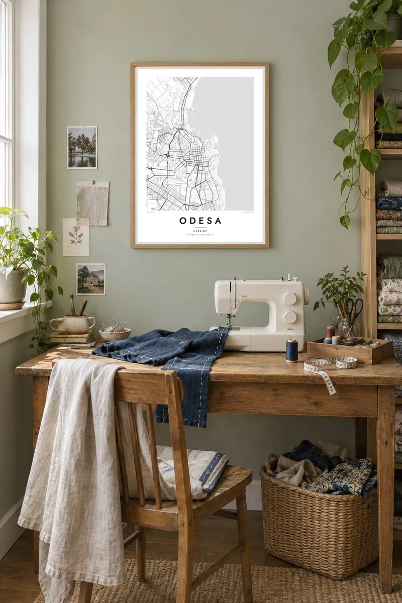
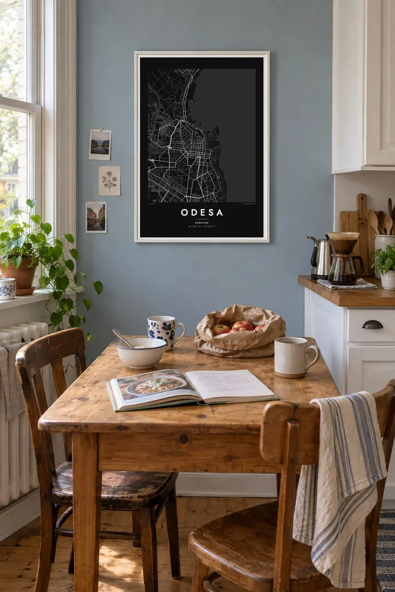
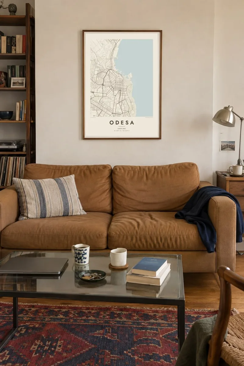
Seen from above, Odesa is one of the most legible cities on the Black Sea coast. Its historic centre is a tight orthogonal grid, planned at the end of the eighteenth century after an imperial decree of 1794 founded a new port here. Straight streets run inland from the bluff above the harbour and cross at right angles, giving the old town a checkerboard look that you can recognise at a glance.
Along the edge of that grid, the land drops toward the port. Piers, breakwaters and cargo basins push out into the bay, and a green belt of parks and slopes separates the upper city from the water. To the south, the coastline softens into a string of beaches, from Lanzheron past Arcadia, while to the north the long, narrow limans, flooded river estuaries, cut deep into the land.
An Odesa map poster shows how deliberate the city was from the start: a planned grid set against an irregular coast. The historic centre was added to the UNESCO World Heritage List in 2023, and the famous stairway linking the upper boulevard to the port appears as a short, precise line between the two levels of the city.
The old town is a regular grid of straight streets meeting at right angles, one of the clearest planned layouts of any port city in the region.
Piers, basins and protective moles extend from below the bluff into Odesa Bay, drawing hard geometric shapes against the open water of the Black Sea.
Narrow estuary lakes such as Khadzhibey and Kuyalnyk reach inland from the coast, long pale shapes that frame the city's northern edge on the map.
Kok tanim ab
Ayro, migaq hinnay kok tan xagar osis; gaba, ballaqa hinnay xiqa soorris.
Free preview qansarissi kee watermark-le. Daabbisimtaan kee HD fayla 300 DPI-l, 7,200 × 10,800 px fanah, watermark maleh ederimta.
Macah Odesa
Odesa means the sea, a particular summer, a family story that started in one of those courtyards. A map of its grid holds all of that quietly, without needing a photograph. It suits a hallway or a study, and it reads as clearly from across the room as it does up close.
You can set your own title, add a subtitle with a date or a street name, and edit the coordinates line. Choose from five styles, Classic black & white, Noir, Paper, Blueprint or Sand, and order a $9 HD file or a printed poster, framed if you like.
Odesa poster orme| Maxxaacah ballaqa | Qeeqa | Faylal |
|---|---|---|
| 30 × 40 cm (11.8 × 15.7″) | 3,543 × 4,724 px | PNG · PDF |
| 29.7 × 42 cm (A3, 11.7 × 16.5″) | 3,508 × 4,961 px | PNG · PDF |
| 42 × 59.4 cm (A2, 16.5 × 23.4″) | 4,961 × 7,016 px | PNG · PDF |
| 45.7 × 61 cm (18 × 24″) | 5,400 × 7,200 px | PNG · PDF |
| 50 × 70 cm (19.7 × 27.6″) | 5,906 × 8,268 px | PNG · PDF |
| 61 × 91.4 cm (24 × 36″) | 7,200 × 10,800 px | PNG · PDF |
Tabbaltah, limo-wayta xaqqa-le ablo 900 px ballaqa le, asta le, iskiriinih keh tan. HD faylal gexsoh inkih addal 8× fanah qeeqa le, poster ballaqa inkih addal meqeh maxxaacimta.
Baxxaqqa qari le qandiy dooriy, tohuk lakal Daabbisimtah Poster — kutuk kee, faxximek, dirbaabu — hinnay HD Digital Fayla dooru. Checkout inki wagitti geytima, kaadu ku-orme page keenih adissa akke waqdi caagoy kummite.
Usuk 200 gsm-le catam kutuk warqatal, lica katiy caagitte {printFrom}-ik hane ayta 30 × 40 cm-ik 24 × 36″ fanah, xaagu keenil warreeh.
Ee. Sarrah-le dirbaabu doori — bad, gudduc, oak-le hinnay bad-madabuy. Usuk finqisiimam ellee sange qarab-le kaadu qari umukku iyya keenih taagu. Dirbaabu-le poster {framedFrom}-ik hane, xaagu keenil warreeh.
Xaagu addunyal inkih cisab-le. Kulli poster 30+ ummattak ni-daabbi-mara mananih xayyoysa kaadu 3–7 caagu-ayróh fanah geeytima. Ku-orme kee xaagu tarikiy My Orders addal ablitta.
Geytimeek 14 ayróy addal foto naah rubbaay, cisab-le daabbisiynah hinnay ku-lacay gacisnaah.
Ee. Tama page-l edito addal, migaaq, subtitle kee coordinates sarrah faxxem fanah badal, kaadu qande kee katiy doori. Daabbisimtah, dirbaabu-le kaadu digital orme inkih ku-design cagalah yekkelen.
$9 bacisak 300 DPI PNG kee daabbisimtah adissime PDF fayla lica katiy inkih, watermark maleh, ayyi meki daabbisimtah geeytitta. Cisab makkoysemty ana? Awqak, watermark-le free preview download-eh.
