Subic Bay
The deep, sheltered bay forms the western edge of the map, its coastline curving around the city and the former base, with piers and harbour structures along the shore.
Qeeqabak kaartah poster · Philippines
14.8292° N / 120.2828° E
A city pressed between the Zambales mountains and Subic Bay, its compact grid facing the former naval base across a narrow waterway.


Inki magaala, konoy gaba
Qande inkih tibbixeeh derre baguley table. Kulli qande missoowa caagid—daabbisimta, dirbaabu-le kaadu HD fayla akah.
 Cagalah pixels · 24 × 36″ daabbi fayla
Maxxaacah qeeqa
Tama usuk cagalah daabbi faylak 100% qambaala. Kulli poster — daabbisimta, dirbaabu-le kaadu download geytimta — ni-server-ittal 300 DPI-l ederimta, 7,200 × 10,800 pixels fanah, tokkel iyyi ellee catoy 24 × 36″ daabbi baxsi bahisak raaqu.
Gidarih


Kaarta
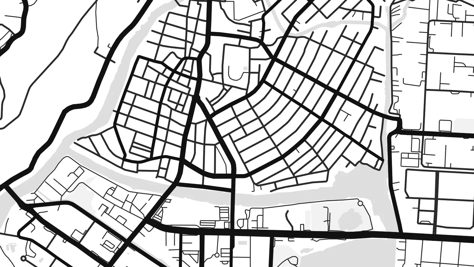
Olongapo occupies a narrow strip of flat land at the head of Subic Bay, with forested hills of the Zambales range rising close behind. The downtown streets form a tight, regular grid squeezed between the slopes and the shore, and newer neighbourhoods climb into the valleys wherever the terrain allows. On the map, green hills press in from almost every side.
For much of the twentieth century the city's life was tied to the United States Naval Base Subic Bay, one of the largest American military installations abroad. When the base closed in 1992, its land was converted into the Subic Bay Freeport Zone, with a port, an airport and industrial areas. A small waterway and the main gate still mark the line between base and city.
The Olongapo map poster shows the two halves side by side: the dense civilian grid on one side, the spacious layout of the former base on the other, with its long waterfront and roads winding into the hills. It is an unusual portrait of how military history shapes a city's form, even decades after the base itself has gone.
The deep, sheltered bay forms the western edge of the map, its coastline curving around the city and the former base, with piers and harbour structures along the shore.
Between the hills and the water, central Olongapo is laid out in a compact grid of short blocks, one of the densest parts of the map.
The former naval base spreads across a large area beside the city, with broad roads, open spaces and waterfront facilities giving it a very different texture.
Kok tanim ab
Ayro, migaq hinnay kok tan xagar osis; gaba, ballaqa hinnay xiqa soorris.
Free preview qansarissi kee watermark-le. Daabbisimtaan kee HD fayla 300 DPI-l, 7,200 × 10,800 px fanah, watermark maleh ederimta.
Macah Olongapo
Olongapo is remembered by many, including former service members, Filipino families and people who have worked in the freeport. The map brings together hills, bay and city in a composition that makes sense to all of them.
Add a title, a subtitle with a year or unit name, and adjust the coordinates line. Choose among five styles; Blueprint suits the naval history well. A free watermarked preview is available before buying the $9 HD files.
Olongapo poster orme| Maxxaacah ballaqa | Qeeqa | Faylal |
|---|---|---|
| 30 × 40 cm11.8 × 15.7″ | 3,543 × 4,724 px | PNG · PDF |
| 29.7 × 42 cm (A3)11.7 × 16.5″ | 3,508 × 4,961 px | PNG · PDF |
| 42 × 59.4 cm (A2)16.5 × 23.4″ | 4,961 × 7,016 px | PNG · PDF |
| 45.7 × 61 cm18 × 24″ | 5,400 × 7,200 px | PNG · PDF |
| 50 × 70 cm19.7 × 27.6″ | 5,906 × 8,268 px | PNG · PDF |
| 61 × 91.4 cm24 × 36″ | 7,200 × 10,800 px | PNG · PDF |
Tabbaltah, limo-wayta xaqqa-le ablo 900 px ballaqa le, asta le, iskiriinih keh tan. HD faylal gexsoh inkih addal 8× fanah qeeqa le, poster ballaqa inkih addal meqeh maxxaacimta.
Baxxaqqa qari le qandiy dooriy, tohuk lakal Daabbisimtah Poster — kutuk kee, faxximek, dirbaabu — hinnay HD Digital Fayla dooru. Checkout inki wagitti geytima, kaadu ku-orme page keenih adissa akke waqdi caagoy kummite.
Usuk 200 gsm-le catam kutuk warqatal, lica katiy caagitte $39-ik hane ayta 30 × 40 cm-ik 24 × 36″ fanah, xaagu keenil warreeh.
Ee. Sarrah-le dirbaabu doori — bad, gudduc, oak-le hinnay bad-madabuy. Usuk finqisiimam ellee sange qarab-le kaadu qari umukku iyya keenih taagu. Dirbaabu-le poster $99-ik hane, xaagu keenil warreeh.
Dirsa 60+ baaxoh bilsa. Poster kasa 30+ baaxoh nel print kaadu yan kee dirgeh kaxxa kee tanah printa, kee 3–7 xaqu ayyaamah yaaxigeeh. Xaaloo kee tracking "Ac Order" gexsitam. Kaadu baaxo 2–5 isbuuc yaaxigeeh, nanu dirsi yanin baaxoh sajiitah site ku kalah tekkeh.
Geytimeek 14 ayróy addal foto naah rubbaay, cisab-le daabbisiynah hinnay ku-lacay gacisnaah.
Ee. Tama page-l edito addal, migaaq, subtitle kee coordinates sarrah faxxem fanah badal, kaadu qande kee katiy doori. Daabbisimtah, dirbaabu-le kaadu digital orme inkih ku-design cagalah yekkelen.
$9 bacisak 300 DPI PNG kee daabbisimtah adissime PDF fayla lica katiy inkih, watermark maleh, ayyi meki daabbisimtah geeytitta. Cisab makkoysemty ana? Awqak, watermark-le free preview download-eh.
