Volcanic spine
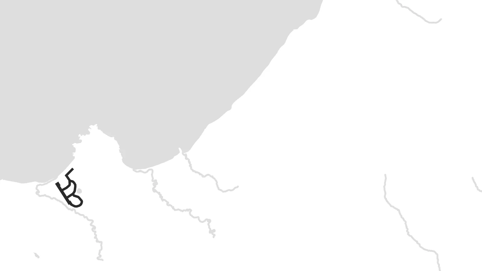
A line of peaks runs along the length of the island. The contours on the map follow this central ridge from the northern end toward the south-west.
Qeeqabak kaartah poster · Russia
50.3840° N / 155.6849° E
A long volcanic ridge in the northern Kurils, its line of peaks running south-west from the tip of Kamchatka.


Inki magaala, konoy gaba
Qande inkih tibbixeeh derre baguley table. Kulli qande missoowa caagid—daabbisimta, dirbaabu-le kaadu HD fayla akah.
 Cagalah pixels · 24 × 36″ daabbi fayla
Maxxaacah qeeqa
Tama usuk cagalah daabbi faylak 100% qambaala. Kulli poster — daabbisimta, dirbaabu-le kaadu download geytimta — ni-server-ittal 300 DPI-l ederimta, 7,200 × 10,800 pixels fanah, tokkel iyyi ellee catoy 24 × 36″ daabbi baxsi bahisak raaqu.
Gidarih


Kaarta
Paramushir is one of the largest islands in the Kuril chain. It stretches from north-east to south-west just below the southern tip of Kamchatka. From above it is narrow and mountainous, with a row of volcanoes along its length, some of them still active. There are almost no roads, so the map is shaped mostly by the coastline, the terrain and the cold straits on either side.
The only town, Severo-Kurilsk, lies on the north-east coast facing the narrow Second Kuril Strait and the neighbouring island of Shumshu. Above it rises Ebeko, a volcano that erupts often and whose ash clouds can regularly be seen from the town. On a poster, the settlement is a small grid pressed between mountain slopes and the water, with open land all around it.
In 1952 a powerful tsunami struck Severo-Kurilsk, and the town was rebuilt on higher ground. That history, and the island's remote position between the Pacific and the Sea of Okhotsk, give a Paramushir map poster a stark quality: a thin line of land, a few streets, and a great deal of sea on both sides.
A line of peaks runs along the length of the island. The contours on the map follow this central ridge from the northern end toward the south-west.
The island's only town sits near the northern end, on the strait facing Shumshu. Its compact block of streets is the only dense detail on the map.
The Pacific lies on one side and the Sea of Okhotsk on the other, so the island appears as a narrow divider between two wide stretches of water.
Kok tanim ab
Ayro, migaq hinnay kok tan xagar osis; gaba, ballaqa hinnay xiqa soorris.
Free preview qansarissi kee watermark-le. Daabbisimtaan kee HD fayla 300 DPI-l, 7,200 × 10,800 px fanah, watermark maleh ederimta.
Macah Paramushir
Paramushir speaks to people drawn to the far edges of the map, and to those who served, worked or grew up in the northern Kurils. Its long, spare outline has a quiet graphic strength that suits a tall format.
You can title the poster in your own words, add a year or a date, and edit the coordinates line, then choose one of five styles. Noir and Blueprint suit the island's stark character, while Paper gives it a softer finish.
Paramushir poster orme| Maxxaacah ballaqa | Qeeqa | Faylal |
|---|---|---|
| 30 × 40 cm (11.8 × 15.7″) | 3,543 × 4,724 px | PNG · PDF |
| 29.7 × 42 cm (A3, 11.7 × 16.5″) | 3,508 × 4,961 px | PNG · PDF |
| 42 × 59.4 cm (A2, 16.5 × 23.4″) | 4,961 × 7,016 px | PNG · PDF |
| 45.7 × 61 cm (18 × 24″) | 5,400 × 7,200 px | PNG · PDF |
| 50 × 70 cm (19.7 × 27.6″) | 5,906 × 8,268 px | PNG · PDF |
| 61 × 91.4 cm (24 × 36″) | 7,200 × 10,800 px | PNG · PDF |
Tabbaltah, limo-wayta xaqqa-le ablo 900 px ballaqa le, asta le, iskiriinih keh tan. HD faylal gexsoh inkih addal 8× fanah qeeqa le, poster ballaqa inkih addal meqeh maxxaacimta.
Baxxaqqa qari le qandiy dooriy, tohuk lakal Daabbisimtah Poster — kutuk kee, faxximek, dirbaabu — hinnay HD Digital Fayla dooru. Checkout inki wagitti geytima, kaadu ku-orme page keenih adissa akke waqdi caagoy kummite.
Usuk 200 gsm-le catam kutuk warqatal, lica katiy caagitte {printFrom}-ik hane ayta 30 × 40 cm-ik 24 × 36″ fanah, xaagu keenil warreeh.
Ee. Sarrah-le dirbaabu doori — bad, gudduc, oak-le hinnay bad-madabuy. Usuk finqisiimam ellee sange qarab-le kaadu qari umukku iyya keenih taagu. Dirbaabu-le poster {framedFrom}-ik hane, xaagu keenil warreeh.
Xaagu addunyal inkih cisab-le. Kulli poster 30+ ummattak ni-daabbi-mara mananih xayyoysa kaadu 3–7 caagu-ayróh fanah geeytima. Ku-orme kee xaagu tarikiy My Orders addal ablitta.
Geytimeek 14 ayróy addal foto naah rubbaay, cisab-le daabbisiynah hinnay ku-lacay gacisnaah.
Ee. Tama page-l edito addal, migaaq, subtitle kee coordinates sarrah faxxem fanah badal, kaadu qande kee katiy doori. Daabbisimtah, dirbaabu-le kaadu digital orme inkih ku-design cagalah yekkelen.
$9 bacisak 300 DPI PNG kee daabbisimtah adissime PDF fayla lica katiy inkih, watermark maleh, ayyi meki daabbisimtah geeytitta. Cisab makkoysemty ana? Awqak, watermark-le free preview download-eh.
Xayyo
