The Perak River
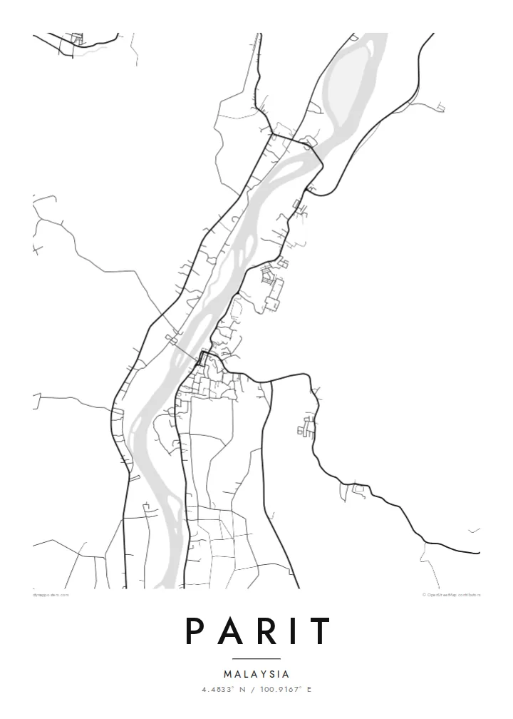
The river is the strongest line on the map. Its broad, winding course sets the direction of the town, and roads and houses keep close to it, following its curves instead of cutting across them.
Qeeqabak kaartah poster · Malaysia
4.4833° N / 100.9167° E
A riverside town in Perak, its roads following the long bends of the Perak River through farmland and villages


Inki magaala, konoy gaba
Qande inkih tibbixeeh derre baguley table. Kulli qande missoowa caagid—daabbisimta, dirbaabu-le kaadu HD fayla akah.
 Cagalah pixels · 24 × 36″ daabbi fayla
Maxxaacah qeeqa
Tama usuk cagalah daabbi faylak 100% qambaala. Kulli poster — daabbisimta, dirbaabu-le kaadu download geytimta — ni-server-ittal 300 DPI-l ederimta, 7,200 × 10,800 pixels fanah, tokkel iyyi ellee catoy 24 × 36″ daabbi baxsi bahisak raaqu.
Gidarih


Kaarta
Parit sits in the Perak Tengah district of central Perak, close to the Perak River, one of the longest rivers in Peninsular Malaysia. From above, the town is shaped by that river. Roads and settlements follow its banks instead of forming a planned grid, so the map reads as a string of linear streets and scattered clusters that trace the flow of water through low, open country.
The name itself is a small clue to the landscape. In Malay, parit means a ditch or drainage channel, a common word in a region where water has long been managed across flat agricultural land. On the map, this shows as thin lines of channels and field boundaries between the denser strokes of roads, with kampung houses set in loose rows along the main routes.
A Parit map poster works because of this restraint. There is no dense downtown to fill the frame. Instead, the drawing balances a compact town centre against wide empty spaces, the sweep of the river and the fine tracks that reach out into the countryside. In black and white, the composition feels calm and spacious, closer to a landscape study than a street plan.
The river is the strongest line on the map. Its broad, winding course sets the direction of the town, and roads and houses keep close to it, following its curves instead of cutting across them.
Houses and small lanes line up along the main roads in long, narrow bands, a common pattern in rural Perak. From above these form delicate chains of fine lines rather than tight blocks.
Around the town the map opens into quiet space marked only by field edges, channels and minor tracks. These light, sparse areas give the poster its sense of air and scale.
Kok tanim ab
Ayro, migaq hinnay kok tan xagar osis; gaba, ballaqa hinnay xiqa soorris.
Free preview qansarissi kee watermark-le. Daabbisimtaan kee HD fayla 300 DPI-l, 7,200 × 10,800 px fanah, watermark maleh ederimta.
Macah Parit
For people who grew up in Parit or have family along the Perak River, the map holds a familiar geography: the road to the river, the route home, the spread of the kampung. It is a quiet reminder of a place that is often left out of larger maps and guidebooks.
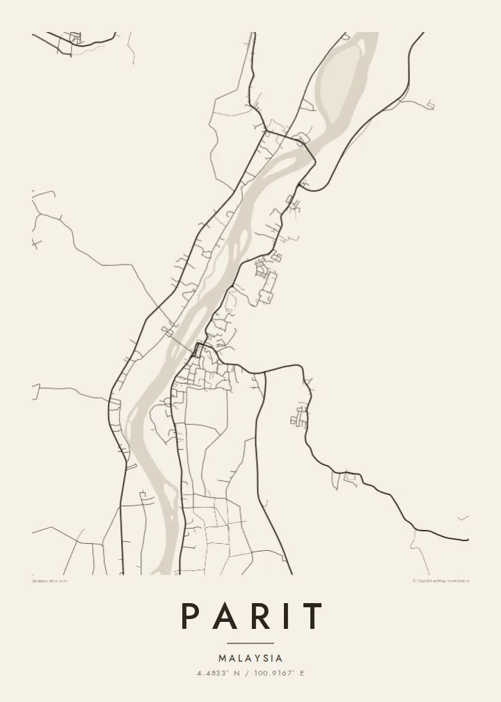
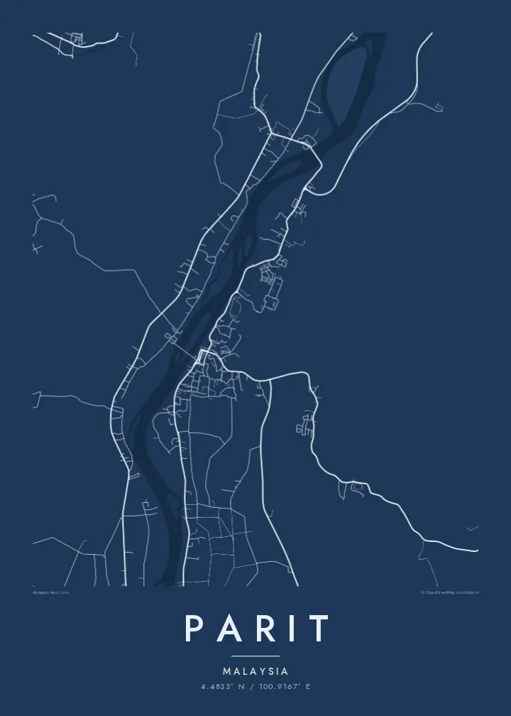
You can personalise the title, subtitle and coordinates line, for example with a family name or a meaningful date, and pick one of five styles: Classic black & white, Noir, Paper, Blueprint or Sand. Download HD files for $9 or order a printed poster, with an optional wooden frame.
Parit poster orme| Maxxaacah ballaqa | Qeeqa | Faylal |
|---|---|---|
| 30 × 40 cm (11.8 × 15.7″) | 3,543 × 4,724 px | PNG · PDF |
| 29.7 × 42 cm (A3, 11.7 × 16.5″) | 3,508 × 4,961 px | PNG · PDF |
| 42 × 59.4 cm (A2, 16.5 × 23.4″) | 4,961 × 7,016 px | PNG · PDF |
| 45.7 × 61 cm (18 × 24″) | 5,400 × 7,200 px | PNG · PDF |
| 50 × 70 cm (19.7 × 27.6″) | 5,906 × 8,268 px | PNG · PDF |
| 61 × 91.4 cm (24 × 36″) | 7,200 × 10,800 px | PNG · PDF |
Tabbaltah, limo-wayta xaqqa-le ablo 900 px ballaqa le, asta le, iskiriinih keh tan. HD faylal gexsoh inkih addal 8× fanah qeeqa le, poster ballaqa inkih addal meqeh maxxaacimta.
Baxxaqqa qari le qandiy dooriy, tohuk lakal Daabbisimtah Poster — kutuk kee, faxximek, dirbaabu — hinnay HD Digital Fayla dooru. Checkout inki wagitti geytima, kaadu ku-orme page keenih adissa akke waqdi caagoy kummite.
Usuk 200 gsm-le catam kutuk warqatal, lica katiy caagitte {printFrom}-ik hane ayta 30 × 40 cm-ik 24 × 36″ fanah, xaagu keenil warreeh.
Ee. Sarrah-le dirbaabu doori — bad, gudduc, oak-le hinnay bad-madabuy. Usuk finqisiimam ellee sange qarab-le kaadu qari umukku iyya keenih taagu. Dirbaabu-le poster {framedFrom}-ik hane, xaagu keenil warreeh.
Xaagu addunyal inkih cisab-le. Kulli poster 30+ ummattak ni-daabbi-mara mananih xayyoysa kaadu 3–7 caagu-ayróh fanah geeytima. Ku-orme kee xaagu tarikiy My Orders addal ablitta.
Geytimeek 14 ayróy addal foto naah rubbaay, cisab-le daabbisiynah hinnay ku-lacay gacisnaah.
Ee. Tama page-l edito addal, migaaq, subtitle kee coordinates sarrah faxxem fanah badal, kaadu qande kee katiy doori. Daabbisimtah, dirbaabu-le kaadu digital orme inkih ku-design cagalah yekkelen.
$9 bacisak 300 DPI PNG kee daabbisimtah adissime PDF fayla lica katiy inkih, watermark maleh, ayyi meki daabbisimtah geeytitta. Cisab makkoysemty ana? Awqak, watermark-le free preview download-eh.
