Ždrelac bridge
A short road bridge at the northern tip crosses the narrow strait to Ugljan. It is the one point where the island's main road leaves Pašman without a boat.
Qeeqabak kaartah poster · Croatia
43.9540° N / 15.3539° E
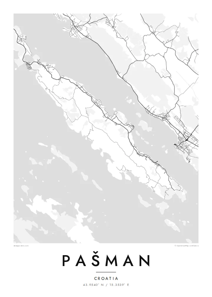
A long, slender Dalmatian island running parallel to the coast, joined to Ugljan by a short bridge at its northern tip.


Inki magaala, konoy gaba
Qande inkih tibbixeeh derre baguley table. Kulli qande missoowa caagid—daabbisimta, dirbaabu-le kaadu HD fayla akah.
 Cagalah pixels · 24 × 36″ daabbi fayla
Maxxaacah qeeqa
Tama usuk cagalah daabbi faylak 100% qambaala. Kulli poster — daabbisimta, dirbaabu-le kaadu download geytimta — ni-server-ittal 300 DPI-l ederimta, 7,200 × 10,800 pixels fanah, tokkel iyyi ellee catoy 24 × 36″ daabbi baxsi bahisak raaqu.
Gidarih


Kaarta
Pašman is a narrow island in the Zadar archipelago, stretching along the Pašman Channel opposite Biograd na Moru on the mainland. From above it is a long ribbon of land running northwest to southeast. A string of villages lines the sheltered channel shore, and a rougher, emptier coast faces the outer islands on the other side.
At the northern end a small bridge over the Ždrelac strait links Pašman to Ugljan, so on a map the two islands read almost as one long, broken line. A ferry connects Tkon, on the channel side, with Biograd. On the ground, olive groves, vineyards and dry-stone walls cover much of the land and divide the slopes into small plots.
On a hill above Tkon stands the Benedictine monastery of Ćokovac, one of the few active Benedictine communities in Croatia. A Pašman map poster works well in a tall format. It follows the island's length and leaves room for the channel and the mainland shore beside it, which is the view most people have when they arrive.
A short road bridge at the northern tip crosses the narrow strait to Ugljan. It is the one point where the island's main road leaves Pašman without a boat.
Settlements such as Tkon and Pašman line the sheltered eastern shore. Each is a small knot of lanes and harbour walls facing Biograd across the water.
The southwestern side looks toward a scatter of smaller islands in the direction of the Kornati. It has few roads and a quieter, more indented shoreline of coves and small bays.
Kok tanim ab
Ayro, migaq hinnay kok tan xagar osis; gaba, ballaqa hinnay xiqa soorris.
Free preview qansarissi kee watermark-le. Daabbisimtaan kee HD fayla 300 DPI-l, 7,200 × 10,800 px fanah, watermark maleh ederimta.
Macah Pašman
Pašman is a place people return to: sailors who anchor in its coves every summer, families with a house in one of the channel villages, visitors who cycle from Tkon to the bridge. Its slim outline makes an elegant, understated poster, particularly in a narrow hallway or beside a window.
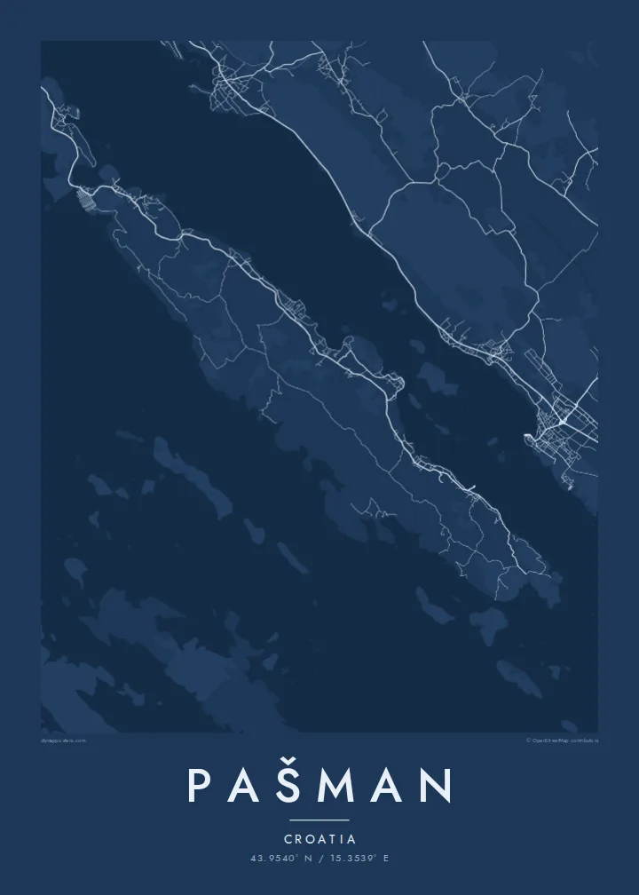
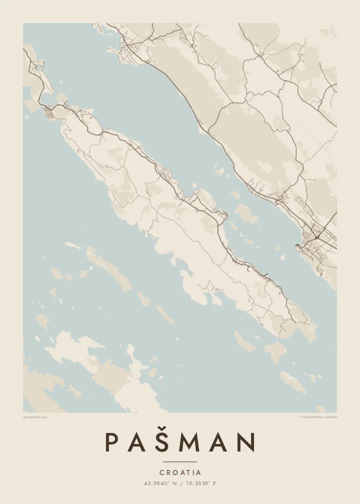
Personalise the title with the name of your village or boat, add a year to the subtitle, and keep or edit the coordinates line. Choose from Classic black & white, Noir, Paper, Blueprint and Sand. HD files in six sizes cost $9, and printed matte posters can come in a wooden frame.
Pašman poster orme| Maxxaacah ballaqa | Qeeqa | Faylal |
|---|---|---|
| 30 × 40 cm (11.8 × 15.7″) | 3,543 × 4,724 px | PNG · PDF |
| 29.7 × 42 cm (A3, 11.7 × 16.5″) | 3,508 × 4,961 px | PNG · PDF |
| 42 × 59.4 cm (A2, 16.5 × 23.4″) | 4,961 × 7,016 px | PNG · PDF |
| 45.7 × 61 cm (18 × 24″) | 5,400 × 7,200 px | PNG · PDF |
| 50 × 70 cm (19.7 × 27.6″) | 5,906 × 8,268 px | PNG · PDF |
| 61 × 91.4 cm (24 × 36″) | 7,200 × 10,800 px | PNG · PDF |
Tabbaltah, limo-wayta xaqqa-le ablo 900 px ballaqa le, asta le, iskiriinih keh tan. HD faylal gexsoh inkih addal 8× fanah qeeqa le, poster ballaqa inkih addal meqeh maxxaacimta.
Baxxaqqa qari le qandiy dooriy, tohuk lakal Daabbisimtah Poster — kutuk kee, faxximek, dirbaabu — hinnay HD Digital Fayla dooru. Checkout inki wagitti geytima, kaadu ku-orme page keenih adissa akke waqdi caagoy kummite.
Usuk 200 gsm-le catam kutuk warqatal, lica katiy caagitte {printFrom}-ik hane ayta 30 × 40 cm-ik 24 × 36″ fanah, xaagu keenil warreeh.
Ee. Sarrah-le dirbaabu doori — bad, gudduc, oak-le hinnay bad-madabuy. Usuk finqisiimam ellee sange qarab-le kaadu qari umukku iyya keenih taagu. Dirbaabu-le poster {framedFrom}-ik hane, xaagu keenil warreeh.
Xaagu addunyal inkih cisab-le. Kulli poster 30+ ummattak ni-daabbi-mara mananih xayyoysa kaadu 3–7 caagu-ayróh fanah geeytima. Ku-orme kee xaagu tarikiy My Orders addal ablitta.
Geytimeek 14 ayróy addal foto naah rubbaay, cisab-le daabbisiynah hinnay ku-lacay gacisnaah.
Ee. Tama page-l edito addal, migaaq, subtitle kee coordinates sarrah faxxem fanah badal, kaadu qande kee katiy doori. Daabbisimtah, dirbaabu-le kaadu digital orme inkih ku-design cagalah yekkelen.
$9 bacisak 300 DPI PNG kee daabbisimtah adissime PDF fayla lica katiy inkih, watermark maleh, ayyi meki daabbisimtah geeytitta. Cisab makkoysemty ana? Awqak, watermark-le free preview download-eh.
Xayyo
