Plains grid
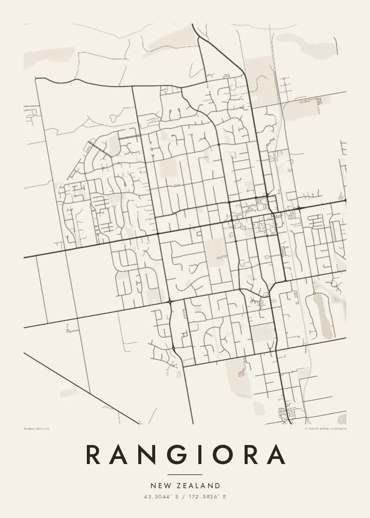
Straight streets meet at right angles across level ground. The orderly layout reads clearly at every scale and gives the poster a calm, balanced structure.
Qeeqabak kaartah poster · New Zealand
43.3044° S / 172.5836° E
A flat, orderly grid on the Canterbury Plains, framed by farmland and the braided bed of the Ashley River.



Inki magaala, konoy gaba
Qande inkih tibbixeeh derre baguley table. Kulli qande missoowa caagid—daabbisimta, dirbaabu-le kaadu HD fayla akah.
 Cagalah pixels · 24 × 36″ daabbi fayla
Maxxaacah qeeqa
Tama usuk cagalah daabbi faylak 100% qambaala. Kulli poster — daabbisimta, dirbaabu-le kaadu download geytimta — ni-server-ittal 300 DPI-l ederimta, 7,200 × 10,800 pixels fanah, tokkel iyyi ellee catoy 24 × 36″ daabbi baxsi bahisak raaqu.
Gidarih


Kaarta
Rangiora is the largest town in the Waimakariri District, about thirty kilometres north of Christchurch on the Canterbury Plains. The land here is almost perfectly flat, and the town reflects that. Streets run in long straight lines and cross at right angles around a central shopping area, and newer subdivisions have been added at the edges as the town has grown.
To the north the Ashley River, Rakahuri in Māori, spreads across a wide gravel bed in braided channels, a typical Canterbury river form that looks striking on a map. Farmland surrounds the town in a patchwork of rectangular paddocks, shelterbelts and rural roads. The edges of Rangiora are therefore clear, with the built-up area sitting like one block within a larger grid.
The town grew quickly after the 2010 and 2011 Canterbury earthquakes, when many households moved north from Christchurch, and much of the new housing on its fringes dates from that period. A Rangiora map poster shows both layers in one frame: the original grid and the curving streets of the newer neighbourhoods.
Straight streets meet at right angles across level ground. The orderly layout reads clearly at every scale and gives the poster a calm, balanced structure.
North of town the river spreads into braided channels over a broad gravel bed, drawing fine interlaced lines that contrast with the rigid streets.
Paddocks, shelterbelts and country roads surround the town in rectangles, carrying the geometry of the streets out into the farmland.
Kok tanim ab
Ayro, migaq hinnay kok tan xagar osis; gaba, ballaqa hinnay xiqa soorris.
Free preview qansarissi kee watermark-le. Daabbisimtaan kee HD fayla 300 DPI-l, 7,200 × 10,800 px fanah, watermark maleh ederimta.
Macah Rangiora
Many people moved to Rangiora for a new start, and a map of the town marks that choice well: the first house, the school run, the weekend walks along the river. It also suits anyone with farming roots on the plains.
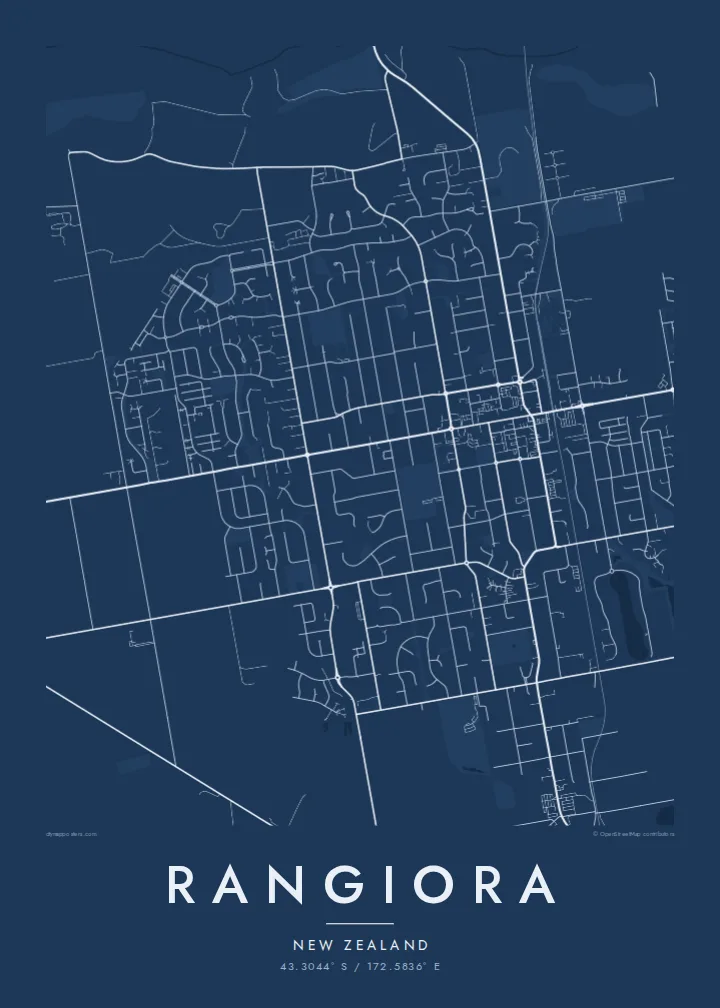
Personalise the title and subtitle with a name, a street or the year you arrived, and edit the coordinates line. Choose Classic black & white, Noir, Paper, Blueprint or Sand. Paper and Sand echo the colours of dry Canterbury summers.
Rangiora poster orme| Maxxaacah ballaqa | Qeeqa | Faylal |
|---|---|---|
| 30 × 40 cm11.8 × 15.7″ | 3,543 × 4,724 px | PNG · PDF |
| 29.7 × 42 cm (A3)11.7 × 16.5″ | 3,508 × 4,961 px | PNG · PDF |
| 42 × 59.4 cm (A2)16.5 × 23.4″ | 4,961 × 7,016 px | PNG · PDF |
| 45.7 × 61 cm18 × 24″ | 5,400 × 7,200 px | PNG · PDF |
| 50 × 70 cm19.7 × 27.6″ | 5,906 × 8,268 px | PNG · PDF |
| 61 × 91.4 cm24 × 36″ | 7,200 × 10,800 px | PNG · PDF |
Tabbaltah, limo-wayta xaqqa-le ablo 900 px ballaqa le, asta le, iskiriinih keh tan. HD faylal gexsoh inkih addal 8× fanah qeeqa le, poster ballaqa inkih addal meqeh maxxaacimta.
Baxxaqqa qari le qandiy dooriy, tohuk lakal Daabbisimtah Poster — kutuk kee, faxximek, dirbaabu — hinnay HD Digital Fayla dooru. Checkout inki wagitti geytima, kaadu ku-orme page keenih adissa akke waqdi caagoy kummite.
Usuk 200 gsm-le catam kutuk warqatal, lica katiy caagitte $39-ik hane ayta 30 × 40 cm-ik 24 × 36″ fanah, xaagu keenil warreeh.
Ee. Sarrah-le dirbaabu doori — bad, gudduc, oak-le hinnay bad-madabuy. Usuk finqisiimam ellee sange qarab-le kaadu qari umukku iyya keenih taagu. Dirbaabu-le poster $99-ik hane, xaagu keenil warreeh.
Dirsa 60+ baaxoh bilsa. Poster kasa 30+ baaxoh nel print kaadu yan kee dirgeh kaxxa kee tanah printa, kee 3–7 xaqu ayyaamah yaaxigeeh. Xaaloo kee tracking "Ac Order" gexsitam. Kaadu baaxo 2–5 isbuuc yaaxigeeh, nanu dirsi yanin baaxoh sajiitah site ku kalah tekkeh.
Geytimeek 14 ayróy addal foto naah rubbaay, cisab-le daabbisiynah hinnay ku-lacay gacisnaah.
Ee. Tama page-l edito addal, migaaq, subtitle kee coordinates sarrah faxxem fanah badal, kaadu qande kee katiy doori. Daabbisimtah, dirbaabu-le kaadu digital orme inkih ku-design cagalah yekkelen.
$9 bacisak 300 DPI PNG kee daabbisimtah adissime PDF fayla lica katiy inkih, watermark maleh, ayyi meki daabbisimtah geeytitta. Cisab makkoysemty ana? Awqak, watermark-le free preview download-eh.
Xayyo
