Ship Canal and Locks
The canal runs from Lake Washington through Lake Union to Salmon Bay, ending at the Ballard Locks, and draws a clear line across the northern half of the city.
Qeeqabak kaartah poster · United States
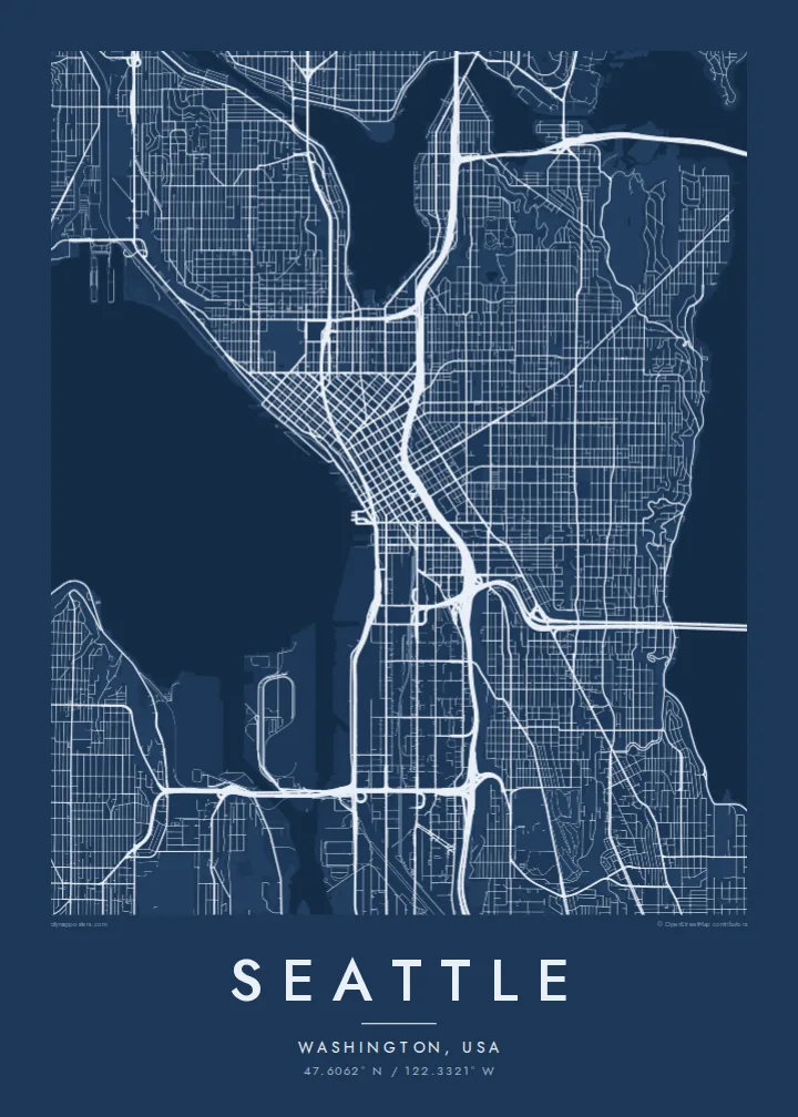
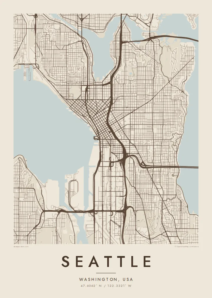
47.6062° N / 122.3321° W
A hilly city on a narrow isthmus between Puget Sound and Lake Washington, cut in two by a ship canal.


Inki magaala, konoy gaba
Qande inkih tibbixeeh derre baguley table. Kulli qande missoowa caagid—daabbisimta, dirbaabu-le kaadu HD fayla akah.
 Cagalah pixels · 24 × 36″ daabbi fayla
Maxxaacah qeeqa
Tama usuk cagalah daabbi faylak 100% qambaala. Kulli poster — daabbisimta, dirbaabu-le kaadu download geytimta — ni-server-ittal 300 DPI-l ederimta, 7,200 × 10,800 pixels fanah, tokkel iyyi ellee catoy 24 × 36″ daabbi baxsi bahisak raaqu.
Gidarih

Kaarta
Seattle is defined by water more than almost any American city. It occupies a slim strip of land between Elliott Bay and Puget Sound on the west and Lake Washington on the east, with Lake Union in the middle. The Lake Washington Ship Canal slices the city in two, linking lakes and sound through the Ballard Locks.
Downtown sits on the edge of Elliott Bay, where street grids laid out by early settlers meet at an angle, producing a visible kink in the map. Around it rise the hills that shape each neighbourhood, including Capitol Hill, Queen Anne and Beacon Hill, while Interstate 5 runs as a long curving line through the centre.
The Space Needle, built for the 1962 World's Fair, and Pike Place Market are the city's best-known sights, but a Seattle map poster shows something broader: the way bridges, including floating ones, cross the lakes, and how the shorelines break the city into distinct districts, each with its own texture.
The canal runs from Lake Washington through Lake Union to Salmon Bay, ending at the Ballard Locks, and draws a clear line across the northern half of the city.
Two street grids meet near the centre at different angles, a legacy of competing early land claims that gives downtown its distinctive tilted look.
Long floating bridges carry highways across the lake to the eastern suburbs, appearing as thin straight lines laid over wide open water.
Kok tanim ab
Ayro, migaq hinnay kok tan xagar osis; gaba, ballaqa hinnay xiqa soorris.
Free preview qansarissi kee watermark-le. Daabbisimtaan kee HD fayla 300 DPI-l, 7,200 × 10,800 px fanah, watermark maleh ederimta.
Macah Seattle
Seattle holds meaning for people who studied, worked or started families here, and its outline is instantly recognisable to anyone who knows the Northwest. Water fills much of the frame, so the poster feels open and light even with dense streets.
Mark a neighbourhood, a wedding date or a move in the title and subtitle, and edit the coordinates line. Five styles are available: Classic black & white, Noir, Paper, Blueprint and Sand; Noir suits a rainy Northwest evening.
Seattle poster orme| Maxxaacah ballaqa | Qeeqa | Faylal |
|---|---|---|
| 30 × 40 cm (11.8 × 15.7″) | 3,543 × 4,724 px | PNG · PDF |
| 29.7 × 42 cm (A3, 11.7 × 16.5″) | 3,508 × 4,961 px | PNG · PDF |
| 42 × 59.4 cm (A2, 16.5 × 23.4″) | 4,961 × 7,016 px | PNG · PDF |
| 45.7 × 61 cm (18 × 24″) | 5,400 × 7,200 px | PNG · PDF |
| 50 × 70 cm (19.7 × 27.6″) | 5,906 × 8,268 px | PNG · PDF |
| 61 × 91.4 cm (24 × 36″) | 7,200 × 10,800 px | PNG · PDF |
Tabbaltah, limo-wayta xaqqa-le ablo 900 px ballaqa le, asta le, iskiriinih keh tan. HD faylal gexsoh inkih addal 8× fanah qeeqa le, poster ballaqa inkih addal meqeh maxxaacimta.
Baxxaqqa qari le qandiy dooriy, tohuk lakal Daabbisimtah Poster — kutuk kee, faxximek, dirbaabu — hinnay HD Digital Fayla dooru. Checkout inki wagitti geytima, kaadu ku-orme page keenih adissa akke waqdi caagoy kummite.
Usuk 200 gsm-le catam kutuk warqatal, lica katiy caagitte {printFrom}-ik hane ayta 30 × 40 cm-ik 24 × 36″ fanah, xaagu keenil warreeh.
Ee. Sarrah-le dirbaabu doori — bad, gudduc, oak-le hinnay bad-madabuy. Usuk finqisiimam ellee sange qarab-le kaadu qari umukku iyya keenih taagu. Dirbaabu-le poster {framedFrom}-ik hane, xaagu keenil warreeh.
Shipping is free worldwide. Each poster is printed by the nearest of our print partners in 30+ countries and usually arrives in 3–7 business days. You can follow the status and tracking under My Orders. A few countries take 2–5 weeks, and where we don't ship yet, the site tells you before you pay.
Geytimeek 14 ayróy addal foto naah rubbaay, cisab-le daabbisiynah hinnay ku-lacay gacisnaah.
Ee. Tama page-l edito addal, migaaq, subtitle kee coordinates sarrah faxxem fanah badal, kaadu qande kee katiy doori. Daabbisimtah, dirbaabu-le kaadu digital orme inkih ku-design cagalah yekkelen.
$9 bacisak 300 DPI PNG kee daabbisimtah adissime PDF fayla lica katiy inkih, watermark maleh, ayyi meki daabbisimtah geeytitta. Cisab makkoysemty ana? Awqak, watermark-le free preview download-eh.
Xayyo
