Republic quarters
Each quarter was designed by a different Soviet republic and named after its capital. On the map, they appear as separate clusters, each with a distinct layout.
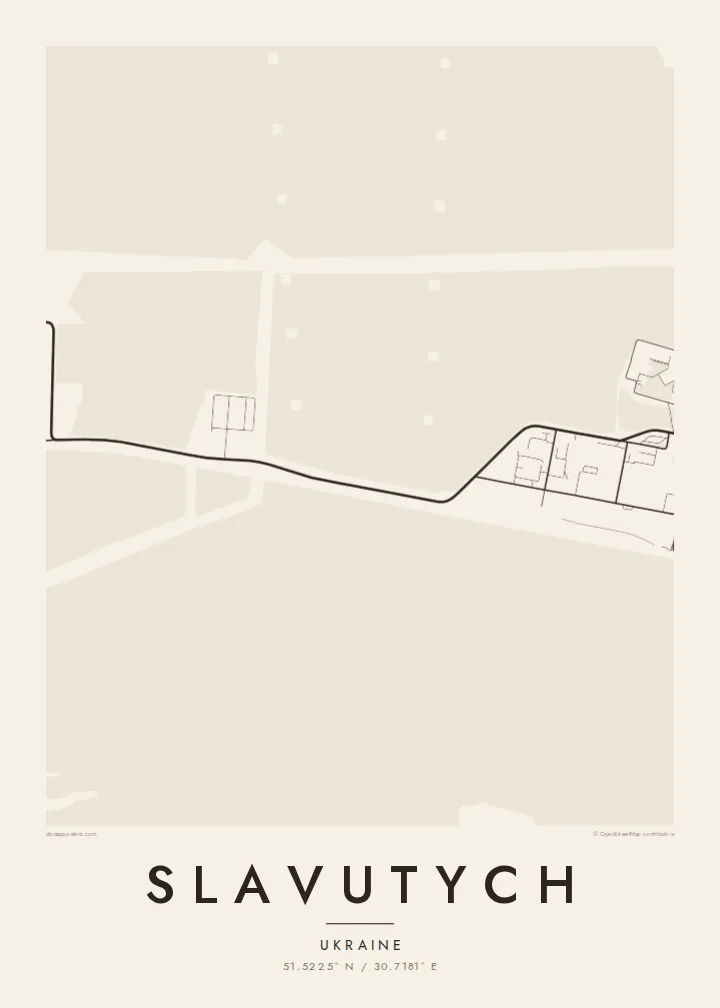
Qeeqabak kaartah poster · Ukraine
51.5225° N / 30.7181° E
A planned 1980s town in a pine forest by the Dnieper, laid out in quarters designed by different Soviet republics




Inki magaala, konoy gaba
Qande inkih tibbixeeh derre baguley table. Kulli qande missoowa caagid—daabbisimta, dirbaabu-le kaadu HD fayla akah.
 Cagalah pixels · 24 × 36″ daabbi fayla
Maxxaacah qeeqa
Tama usuk cagalah daabbi faylak 100% qambaala. Kulli poster — daabbisimta, dirbaabu-le kaadu download geytimta — ni-server-ittal 300 DPI-l ederimta, 7,200 × 10,800 pixels fanah, tokkel iyyi ellee catoy 24 × 36″ daabbi baxsi bahisak raaqu.
Gidarih


Kaarta
Slavutych was built after the 1986 Chernobyl disaster to house workers of the nuclear plant, who had to leave Pripyat. From above, it is one of the most deliberately planned towns in Europe. Distinct neighbourhoods surround a central square and park, the whole town sits within pine forest, and a railway line links it to the plant.
Its quarters were designed and built by teams from different Soviet republics and carry the names of their capitals, such as Kyiv, Tbilisi, Vilnius and Riga. Each has its own architectural style. The town lies on the left bank of the Dnieper, and although it is part of Kyiv Oblast, the land around it borders Chernihiv Oblast.
A Slavutych map poster shows how clearly this planning survives. The separate quarters form distinct clusters, each with its own street pattern, joined by green belts and wide avenues. In black and white, the surrounding forest becomes a calm field that frames the town. It is an unusual and meaningful map for anyone connected to Chernobyl's story.
Each quarter was designed by a different Soviet republic and named after its capital. On the map, they appear as separate clusters, each with a distinct layout.
The quarters are arranged around a central square and park, giving the town a clear heart. That is rare for a place so recently built.
Pine forest surrounds the whole town and leaves a wide margin between buildings and open country. The town appears as a compact island within that green belt.
Kok tanim ab
Ayro, migaq hinnay kok tan xagar osis; gaba, ballaqa hinnay xiqa soorris.
Free preview qansarissi kee watermark-le. Daabbisimtaan kee HD fayla 300 DPI-l, 7,200 × 10,800 px fanah, watermark maleh ederimta.
Macah Slavutych
Slavutych is home to many former Chernobyl plant workers and their families, and for them the town's shape carries real weight. The map also interests people who study Soviet urban planning or the history of 1986.
You can personalise the title, subtitle and coordinates line, and choose Classic black & white, Noir, Paper, Blueprint or Sand. Blueprint suits a town that began as a plan. The files arrive as 300 DPI PNG and print-ready PDF in six sizes.
Slavutych poster orme| Maxxaacah ballaqa | Qeeqa | Faylal |
|---|---|---|
| 30 × 40 cm11.8 × 15.7″ | 3,543 × 4,724 px | PNG · PDF |
| 29.7 × 42 cm (A3)11.7 × 16.5″ | 3,508 × 4,961 px | PNG · PDF |
| 42 × 59.4 cm (A2)16.5 × 23.4″ | 4,961 × 7,016 px | PNG · PDF |
| 45.7 × 61 cm18 × 24″ | 5,400 × 7,200 px | PNG · PDF |
| 50 × 70 cm19.7 × 27.6″ | 5,906 × 8,268 px | PNG · PDF |
| 61 × 91.4 cm24 × 36″ | 7,200 × 10,800 px | PNG · PDF |
Tabbaltah, limo-wayta xaqqa-le ablo 900 px ballaqa le, asta le, iskiriinih keh tan. HD faylal gexsoh inkih addal 8× fanah qeeqa le, poster ballaqa inkih addal meqeh maxxaacimta.
Baxxaqqa qari le qandiy dooriy, tohuk lakal Daabbisimtah Poster — kutuk kee, faxximek, dirbaabu — hinnay HD Digital Fayla dooru. Checkout inki wagitti geytima, kaadu ku-orme page keenih adissa akke waqdi caagoy kummite.
Usuk 200 gsm-le catam kutuk warqatal, lica katiy caagitte $39-ik hane ayta 30 × 40 cm-ik 24 × 36″ fanah, xaagu keenil warreeh.
Ee. Sarrah-le dirbaabu doori — bad, gudduc, oak-le hinnay bad-madabuy. Usuk finqisiimam ellee sange qarab-le kaadu qari umukku iyya keenih taagu. Dirbaabu-le poster $99-ik hane, xaagu keenil warreeh.
Dirsa 60+ baaxoh bilsa. Poster kasa 30+ baaxoh nel print kaadu yan kee dirgeh kaxxa kee tanah printa, kee 3–7 xaqu ayyaamah yaaxigeeh. Xaaloo kee tracking "Ac Order" gexsitam. Kaadu baaxo 2–5 isbuuc yaaxigeeh, nanu dirsi yanin baaxoh sajiitah site ku kalah tekkeh.
Geytimeek 14 ayróy addal foto naah rubbaay, cisab-le daabbisiynah hinnay ku-lacay gacisnaah.
Ee. Tama page-l edito addal, migaaq, subtitle kee coordinates sarrah faxxem fanah badal, kaadu qande kee katiy doori. Daabbisimtah, dirbaabu-le kaadu digital orme inkih ku-design cagalah yekkelen.
$9 bacisak 300 DPI PNG kee daabbisimtah adissime PDF fayla lica katiy inkih, watermark maleh, ayyi meki daabbisimtah geeytitta. Cisab makkoysemty ana? Awqak, watermark-le free preview download-eh.
Xayyo
