The Congo estuary
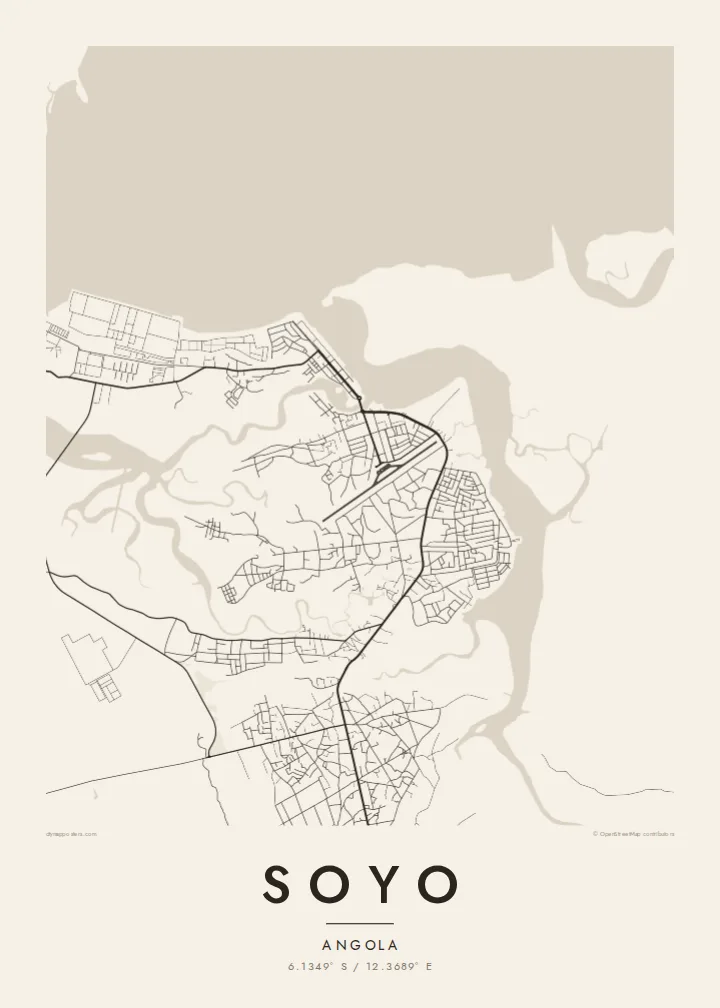
The wide mouth of the Congo dominates the northern side of the map, a broad expanse of water that marks the border between Angola and the Democratic Republic of the Congo.
Qeeqabak kaartah poster · Angola
6.1349° S / 12.3689° E
A low-lying town at the mouth of the Congo River, where estuary channels, mangrove islands and the Atlantic coast converge.



Inki magaala, konoy gaba
Qande inkih tibbixeeh derre baguley table. Kulli qande missoowa caagid—daabbisimta, dirbaabu-le kaadu HD fayla akah.
 Cagalah pixels · 24 × 36″ daabbi fayla
Maxxaacah qeeqa
Tama usuk cagalah daabbi faylak 100% qambaala. Kulli poster — daabbisimta, dirbaabu-le kaadu download geytimta — ni-server-ittal 300 DPI-l ederimta, 7,200 × 10,800 pixels fanah, tokkel iyyi ellee catoy 24 × 36″ daabbi baxsi bahisak raaqu.
Gidarih


Kaarta
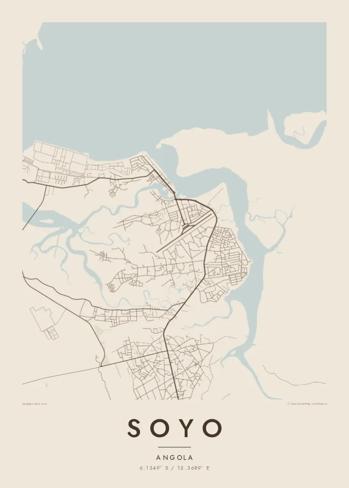
Soyo stands on the southern bank of the Congo estuary in northern Angola, on flat ground where the river meets the Atlantic. The map here is shaped as much by water as by streets: branching channels, low islands and creeks spread across the landscape, and the town's road network sits on the firmer land between them, reaching toward the shore.
The Congo is one of the world's largest rivers by discharge, and its mouth has long been a landmark for sailors. In 1482 the Portuguese navigator Diogo Cão reached the estuary and set up a stone pillar, or padrão, on the nearby point that still carries the name Ponta do Padrão. The coast around Soyo was part of the historic Kingdom of Kongo.
In recent decades Soyo has grown as a centre of Angola's oil and gas industry, with an LNG plant and industrial installations on the coast. A Soyo map poster sets the town against its setting, where the fine lines of streets give way to the irregular outlines of a vast river mouth on the edge of the ocean.
The wide mouth of the Congo dominates the northern side of the map, a broad expanse of water that marks the border between Angola and the Democratic Republic of the Congo.
Creeks and side channels cut the low ground into irregular shapes, so the land itself looks like a puzzle of islands threaded between the town and the river.
To the west the land meets the open ocean along a fairly straight coast, a clean edge that contrasts with the ragged outlines of the estuary.
Kok tanim ab
Ayro, migaq hinnay kok tan xagar osis; gaba, ballaqa hinnay xiqa soorris.
Free preview qansarissi kee watermark-le. Daabbisimtaan kee HD fayla 300 DPI-l, 7,200 × 10,800 px fanah, watermark maleh ederimta.
Macah Soyo
For people who have worked in Soyo's energy sector, or families from Zaire province, this map records a place defined by its river. The interplay of water and land makes an unusual, almost abstract print for a home or office.
Personalise the title and subtitle, perhaps with the years spent there, and choose Classic black & white, Noir, Paper, Blueprint or Sand. The digital download costs $9 and includes six sizes, from 30×40 cm to 24×36″, without a watermark.
Soyo poster orme| Maxxaacah ballaqa | Qeeqa | Faylal |
|---|---|---|
| 30 × 40 cm (11.8 × 15.7″) | 3,543 × 4,724 px | PNG · PDF |
| 29.7 × 42 cm (A3, 11.7 × 16.5″) | 3,508 × 4,961 px | PNG · PDF |
| 42 × 59.4 cm (A2, 16.5 × 23.4″) | 4,961 × 7,016 px | PNG · PDF |
| 45.7 × 61 cm (18 × 24″) | 5,400 × 7,200 px | PNG · PDF |
| 50 × 70 cm (19.7 × 27.6″) | 5,906 × 8,268 px | PNG · PDF |
| 61 × 91.4 cm (24 × 36″) | 7,200 × 10,800 px | PNG · PDF |
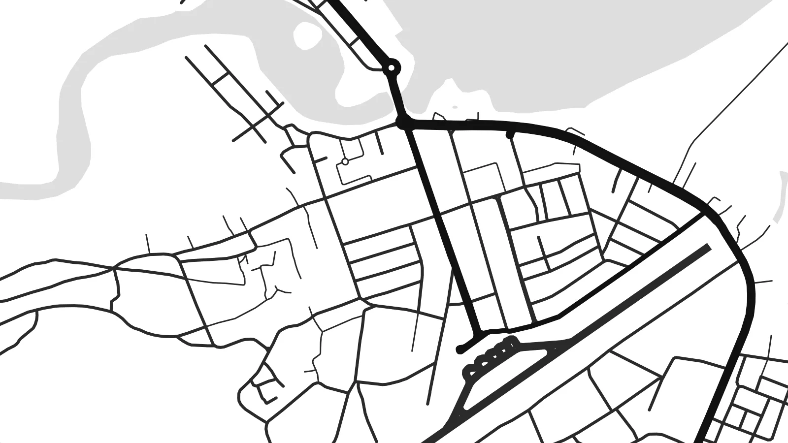
Tabbaltah, limo-wayta xaqqa-le ablo 900 px ballaqa le, asta le, iskiriinih keh tan. HD faylal gexsoh inkih addal 8× fanah qeeqa le, poster ballaqa inkih addal meqeh maxxaacimta.
Baxxaqqa qari le qandiy dooriy, tohuk lakal Daabbisimtah Poster — kutuk kee, faxximek, dirbaabu — hinnay HD Digital Fayla dooru. Checkout inki wagitti geytima, kaadu ku-orme page keenih adissa akke waqdi caagoy kummite.
Usuk 200 gsm-le catam kutuk warqatal, lica katiy caagitte {printFrom}-ik hane ayta 30 × 40 cm-ik 24 × 36″ fanah, xaagu keenil warreeh.
Ee. Sarrah-le dirbaabu doori — bad, gudduc, oak-le hinnay bad-madabuy. Usuk finqisiimam ellee sange qarab-le kaadu qari umukku iyya keenih taagu. Dirbaabu-le poster {framedFrom}-ik hane, xaagu keenil warreeh.
Xaagu addunyal inkih cisab-le. Kulli poster 30+ ummattak ni-daabbi-mara mananih xayyoysa kaadu 3–7 caagu-ayróh fanah geeytima. Ku-orme kee xaagu tarikiy My Orders addal ablitta.
Geytimeek 14 ayróy addal foto naah rubbaay, cisab-le daabbisiynah hinnay ku-lacay gacisnaah.
Ee. Tama page-l edito addal, migaaq, subtitle kee coordinates sarrah faxxem fanah badal, kaadu qande kee katiy doori. Daabbisimtah, dirbaabu-le kaadu digital orme inkih ku-design cagalah yekkelen.
$9 bacisak 300 DPI PNG kee daabbisimtah adissime PDF fayla lica katiy inkih, watermark maleh, ayyi meki daabbisimtah geeytitta. Cisab makkoysemty ana? Awqak, watermark-le free preview download-eh.
