Tórshavn and Tinganes
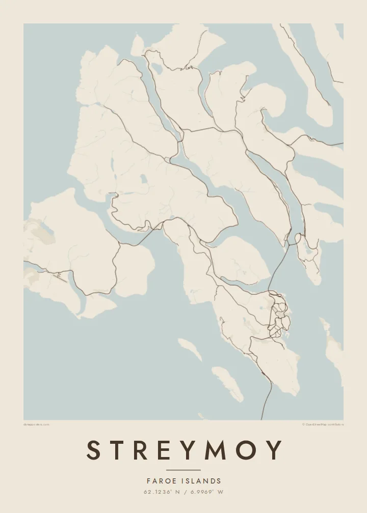
The capital's streets fan out from the harbour, with the rocky Tinganes peninsula at its centre. It is the densest cluster of lines anywhere in the Faroes.
Qeeqabak kaartah poster · Faroe Islands
62.1236° N / 6.9969° W
The largest Faroe island, a long mountain spine notched by fjords, with Tórshavn tucked into its southeastern shore.


Inki magaala, konoy gaba
Qande inkih tibbixeeh derre baguley table. Kulli qande missoowa caagid—daabbisimta, dirbaabu-le kaadu HD fayla akah.
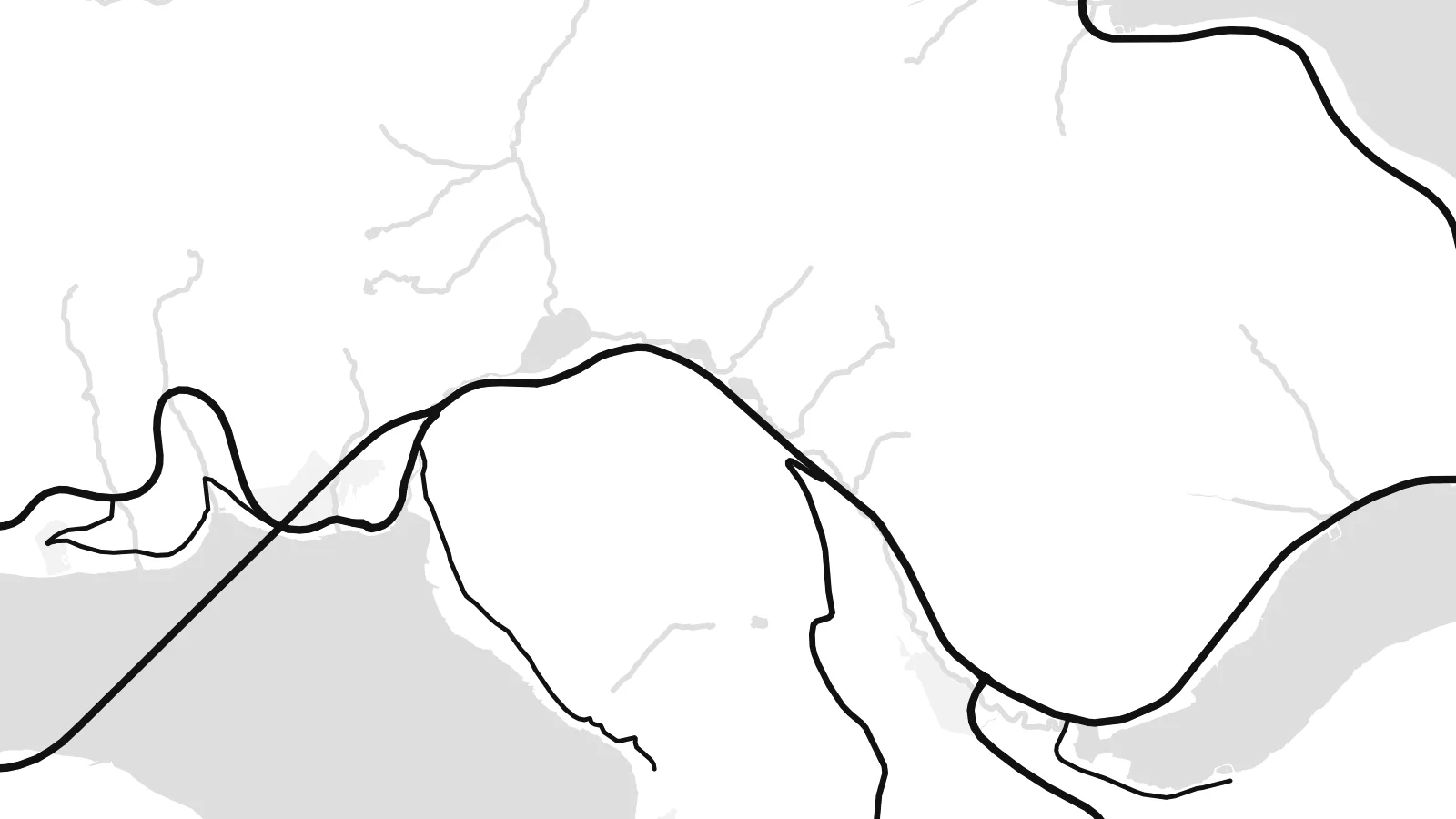 Cagalah pixels · 24 × 36″ daabbi fayla
Maxxaacah qeeqa
Tama usuk cagalah daabbi faylak 100% qambaala. Kulli poster — daabbisimta, dirbaabu-le kaadu download geytimta — ni-server-ittal 300 DPI-l ederimta, 7,200 × 10,800 pixels fanah, tokkel iyyi ellee catoy 24 × 36″ daabbi baxsi bahisak raaqu.
Gidarih


Kaarta
Streymoy is the largest and most populous of the Faroe Islands, a long island running northwest to southeast between Vágar and Eysturoy. From above it looks like a mountain spine with steep flanks, the coast notched by fjords and the interior crossed by only a handful of roads. Villages sit on narrow shelves of flat ground where valleys meet the sea.
Tórshavn, the capital, occupies the southeastern coast, its streets climbing from the harbour and the small Tinganes peninsula, where the Faroese government sits among turf-roofed buildings. To the south, Kirkjubøur holds the medieval ruins of the Magnus Cathedral. On the north coast, Saksun sits above a tidal lagoon that fills and drains with the sea.
Streymoy is tied to its neighbours by a short bridge across the sound to Eysturoy and by tunnels running beneath the sea, so most journeys in the archipelago pass through it. A Streymoy map poster shows how these links pull the island into the centre of the Faroes, with Tórshavn as its densest point and long empty ridges stretching north.
The capital's streets fan out from the harbour, with the rocky Tinganes peninsula at its centre. It is the densest cluster of lines anywhere in the Faroes.
A narrow channel separates Streymoy from Eysturoy, spanned by a short bridge. On the map it reads almost like a river, the thinnest gap between two islands.
In the north, a small tidal lagoon opens to the sea through a narrow channel below the village of Saksun, a delicate shape on an otherwise steep coastline.
Kok tanim ab
Ayro, migaq hinnay kok tan xagar osis; gaba, ballaqa hinnay xiqa soorris.
Free preview qansarissi kee watermark-le. Daabbisimtaan kee HD fayla 300 DPI-l, 7,200 × 10,800 px fanah, watermark maleh ederimta.
Macah Streymoy
For Faroese families and anyone who has lived in Tórshavn, Streymoy is home ground. For visitors it is where most journeys start and end. The island's long outline and cut coast make a strong, graphic poster.
Use the title for a village or street name, the subtitle for a date, and the coordinates line for a precise spot. Choose one of five styles, Classic black & white, Noir, Paper, Blueprint or Sand, as a $9 HD file or a printed poster.
Streymoy poster orme| Maxxaacah ballaqa | Qeeqa | Faylal |
|---|---|---|
| 30 × 40 cm11.8 × 15.7″ | 3,543 × 4,724 px | PNG · PDF |
| 29.7 × 42 cm (A3)11.7 × 16.5″ | 3,508 × 4,961 px | PNG · PDF |
| 42 × 59.4 cm (A2)16.5 × 23.4″ | 4,961 × 7,016 px | PNG · PDF |
| 45.7 × 61 cm18 × 24″ | 5,400 × 7,200 px | PNG · PDF |
| 50 × 70 cm19.7 × 27.6″ | 5,906 × 8,268 px | PNG · PDF |
| 61 × 91.4 cm24 × 36″ | 7,200 × 10,800 px | PNG · PDF |
Tabbaltah, limo-wayta xaqqa-le ablo 900 px ballaqa le, asta le, iskiriinih keh tan. HD faylal gexsoh inkih addal 8× fanah qeeqa le, poster ballaqa inkih addal meqeh maxxaacimta.
Baxxaqqa qari le qandiy dooriy, tohuk lakal Daabbisimtah Poster — kutuk kee, faxximek, dirbaabu — hinnay HD Digital Fayla dooru. Checkout inki wagitti geytima, kaadu ku-orme page keenih adissa akke waqdi caagoy kummite.
Usuk 200 gsm-le catam kutuk warqatal, lica katiy caagitte $39-ik hane ayta 30 × 40 cm-ik 24 × 36″ fanah, xaagu keenil warreeh.
Ee. Sarrah-le dirbaabu doori — bad, gudduc, oak-le hinnay bad-madabuy. Usuk finqisiimam ellee sange qarab-le kaadu qari umukku iyya keenih taagu. Dirbaabu-le poster $99-ik hane, xaagu keenil warreeh.
Dirsa 60+ baaxoh bilsa. Poster kasa 30+ baaxoh nel print kaadu yan kee dirgeh kaxxa kee tanah printa, kee 3–7 xaqu ayyaamah yaaxigeeh. Xaaloo kee tracking "Ac Order" gexsitam. Kaadu baaxo 2–5 isbuuc yaaxigeeh, nanu dirsi yanin baaxoh sajiitah site ku kalah tekkeh.
Geytimeek 14 ayróy addal foto naah rubbaay, cisab-le daabbisiynah hinnay ku-lacay gacisnaah.
Ee. Tama page-l edito addal, migaaq, subtitle kee coordinates sarrah faxxem fanah badal, kaadu qande kee katiy doori. Daabbisimtah, dirbaabu-le kaadu digital orme inkih ku-design cagalah yekkelen.
$9 bacisak 300 DPI PNG kee daabbisimtah adissime PDF fayla lica katiy inkih, watermark maleh, ayyi meki daabbisimtah geeytitta. Cisab makkoysemty ana? Awqak, watermark-le free preview download-eh.
Xayyo
