The Hai River
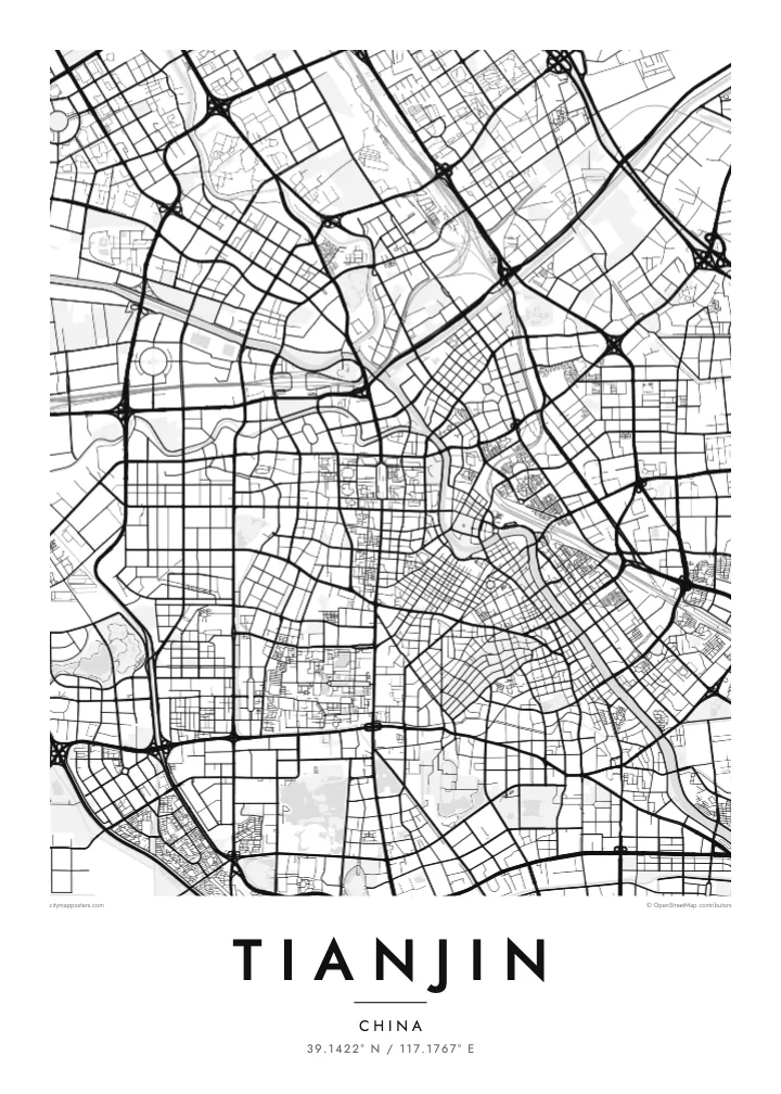
The river curves repeatedly through central Tianjin, forming loops and headlands that give the map its strongest shapes and connect the old city with the coast.
Qeeqabak kaartah poster · China
39.1422° N / 117.1767° E
A port city threaded by the winding Hai River, with former concession quarters laid out along its banks



Inki magaala, konoy gaba
Qande inkih tibbixeeh derre baguley table. Kulli qande missoowa caagid—daabbisimta, dirbaabu-le kaadu HD fayla akah.
 Cagalah pixels · 24 × 36″ daabbi fayla
Maxxaacah qeeqa
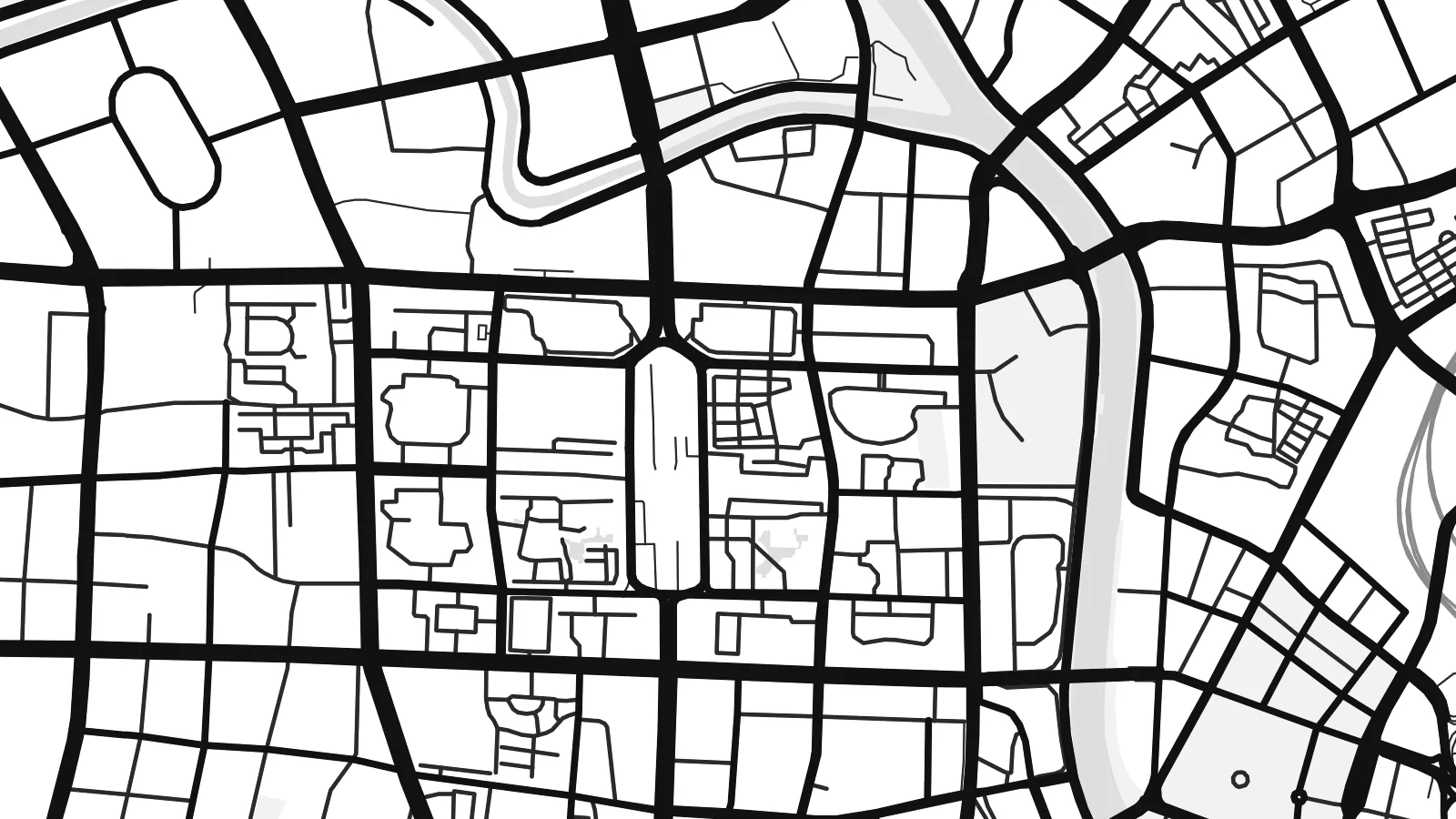
Tama usuk cagalah daabbi faylak 100% qambaala. Kulli poster — daabbisimta, dirbaabu-le kaadu download geytimta — ni-server-ittal 300 DPI-l ederimta, 7,200 × 10,800 pixels fanah, tokkel iyyi ellee catoy 24 × 36″ daabbi baxsi bahisak raaqu.
Gidarih


Kaarta
Tianjin grew where several rivers and the Grand Canal meet to form the Hai River, which then winds south-east through the city toward the Bohai Sea. That winding course is the central line on any map of Tianjin. Streets meet it at angles rather than in a single grid, so neighbourhoods on each bank follow their own orientation, and the result is a patchwork of plans joined by bridges.
Along the river lie the former foreign concessions, established in the late nineteenth and early twentieth centuries. The Five Great Avenues area, once part of the British concession, keeps a fine grid of tree-lined streets with European villas. Nearby, the Tianjin Eye, a Ferris wheel built into a bridge over the Hai River, marks one of the city’s crossings. Downstream, the Binhai New Area stretches out to the port.
Tianjin has long served as Beijing’s gateway to the sea, and high-speed trains now link the two cities in around half an hour. Its port is one of the busiest in northern China. A Tianjin map poster records a city shaped by trade, where concession-era blocks, older Chinese lanes and modern districts sit along the same river.
The river curves repeatedly through central Tianjin, forming loops and headlands that give the map its strongest shapes and connect the old city with the coast.
A compact grid of parallel roads and connecting streets in the former British concession, lined with early twentieth-century houses and clearly distinct from the surrounding blocks.
A large observation wheel mounted on the Yongle Bridge over the Hai River, one of very few Ferris wheels in the world built above a river crossing.
Kok tanim ab
Ayro, migaq hinnay kok tan xagar osis; gaba, ballaqa hinnay xiqa soorris.
Free preview qansarissi kee watermark-le. Daabbisimtaan kee HD fayla 300 DPI-l, 7,200 × 10,800 px fanah, watermark maleh ederimta.
Macah Tianjin
Tianjin suits people who know it beyond the commuter route from Beijing: former students, families from the old districts, anyone who has walked the concession streets. The winding river makes an elegant composition that feels calm on a wall.
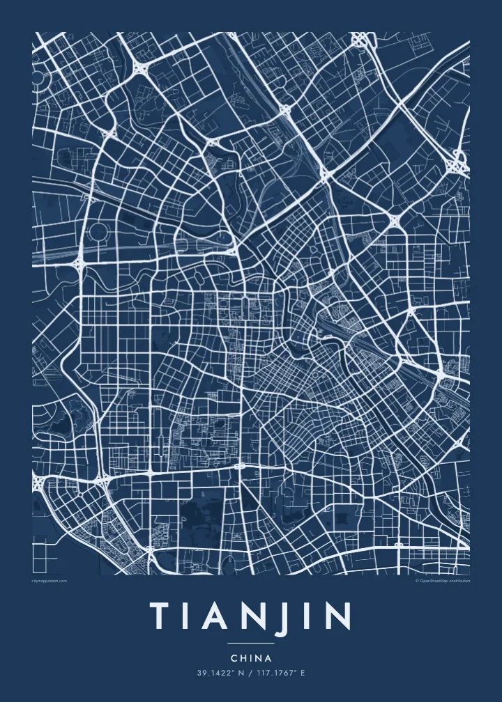
Add your own title and subtitle, perhaps a street name or a date, and edit the coordinates line. Classic black & white, Noir, Paper, Blueprint and Sand are the five available styles, delivered as print-ready files or as a printed poster, framed or unframed.
Tianjin poster orme| Maxxaacah ballaqa | Qeeqa | Faylal |
|---|---|---|
| 30 × 40 cm11.8 × 15.7″ | 3,543 × 4,724 px | PNG · PDF |
| 29.7 × 42 cm (A3)11.7 × 16.5″ | 3,508 × 4,961 px | PNG · PDF |
| 42 × 59.4 cm (A2)16.5 × 23.4″ | 4,961 × 7,016 px | PNG · PDF |
| 45.7 × 61 cm18 × 24″ | 5,400 × 7,200 px | PNG · PDF |
| 50 × 70 cm19.7 × 27.6″ | 5,906 × 8,268 px | PNG · PDF |
| 61 × 91.4 cm24 × 36″ | 7,200 × 10,800 px | PNG · PDF |
Tabbaltah, limo-wayta xaqqa-le ablo 900 px ballaqa le, asta le, iskiriinih keh tan. HD faylal gexsoh inkih addal 8× fanah qeeqa le, poster ballaqa inkih addal meqeh maxxaacimta.
Baxxaqqa qari le qandiy dooriy, tohuk lakal Daabbisimtah Poster — kutuk kee, faxximek, dirbaabu — hinnay HD Digital Fayla dooru. Checkout inki wagitti geytima, kaadu ku-orme page keenih adissa akke waqdi caagoy kummite.
Usuk 200 gsm-le catam kutuk warqatal, lica katiy caagitte $39-ik hane ayta 30 × 40 cm-ik 24 × 36″ fanah, xaagu keenil warreeh.
Ee. Sarrah-le dirbaabu doori — bad, gudduc, oak-le hinnay bad-madabuy. Usuk finqisiimam ellee sange qarab-le kaadu qari umukku iyya keenih taagu. Dirbaabu-le poster $99-ik hane, xaagu keenil warreeh.
Dirsa 60+ baaxoh bilsa. Poster kasa 30+ baaxoh nel print kaadu yan kee dirgeh kaxxa kee tanah printa, kee 3–7 xaqu ayyaamah yaaxigeeh. Xaaloo kee tracking "Ac Order" gexsitam. Kaadu baaxo 2–5 isbuuc yaaxigeeh, nanu dirsi yanin baaxoh sajiitah site ku kalah tekkeh.
Geytimeek 14 ayróy addal foto naah rubbaay, cisab-le daabbisiynah hinnay ku-lacay gacisnaah.
Ee. Tama page-l edito addal, migaaq, subtitle kee coordinates sarrah faxxem fanah badal, kaadu qande kee katiy doori. Daabbisimtah, dirbaabu-le kaadu digital orme inkih ku-design cagalah yekkelen.
$9 bacisak 300 DPI PNG kee daabbisimtah adissime PDF fayla lica katiy inkih, watermark maleh, ayyi meki daabbisimtah geeytitta. Cisab makkoysemty ana? Awqak, watermark-le free preview download-eh.
Xayyo
