Kaichu Doro
A long road built across shallow sea from the Katsuren Peninsula to Henza Island. On the map it is a single straight line running across open water toward the islands.
Qeeqabak kaartah poster · Japan
26.3761° N / 127.8591° E
A city on Okinawa's eastern coast, with a peninsula, a causeway over shallow sea and a castle ruin on a ridge.


Inki magaala, konoy gaba
Qande inkih tibbixeeh derre baguley table. Kulli qande missoowa caagid—daabbisimta, dirbaabu-le kaadu HD fayla akah.
 Cagalah pixels · 24 × 36″ daabbi fayla
Maxxaacah qeeqa
Tama usuk cagalah daabbi faylak 100% qambaala. Kulli poster — daabbisimta, dirbaabu-le kaadu download geytimta — ni-server-ittal 300 DPI-l ederimta, 7,200 × 10,800 pixels fanah, tokkel iyyi ellee catoy 24 × 36″ daabbi baxsi bahisak raaqu.
Gidarih


Kaarta
Uruma is a city on the central east coast of Okinawa Island, formed in 2005 by merging four former municipalities. On a map, its shape is unusual. The city covers part of the main island, the long Katsuren Peninsula and several offshore islands, linked by bridges and a causeway across shallow water.
On the peninsula stand the ruins of Katsuren Castle, one of the gusuku sites listed together as a UNESCO World Heritage Site. Its stone walls climb a ridge overlooking the sea. From the peninsula, the Kaichu Doro road runs several kilometres across the sea to Henza Island, with Hamahiga and other islands beyond it.
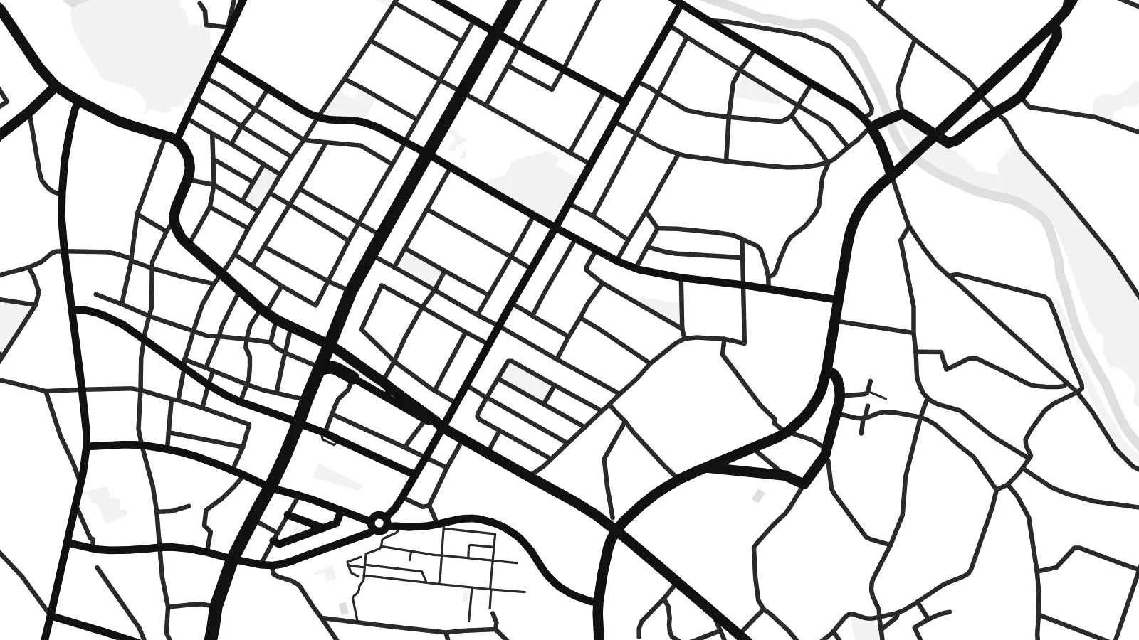
A Uruma map poster captures a place where the coast is as important as the streets. The built-up areas follow the shoreline and gather on the main island. The peninsula reaches out into the water, and the causeway draws a thin, straight line across the sea. In black and white, the islands and reefs become strong graphic shapes.
A long road built across shallow sea from the Katsuren Peninsula to Henza Island. On the map it is a single straight line running across open water toward the islands.
The UNESCO-listed ruins of a gusuku sit on a ridge above the coast. The curving stone walls follow the hilltop and look out across the sea.
Henza, Hamahiga, Ikei and Miyagi islands lie off the peninsula, linked by roads and bridges. Their outlines spread across the eastern side of the map.
Kok tanim ab
Ayro, migaq hinnay kok tan xagar osis; gaba, ballaqa hinnay xiqa soorris.
Free preview qansarissi kee watermark-le. Daabbisimtaan kee HD fayla 300 DPI-l, 7,200 × 10,800 px fanah, watermark maleh ederimta.
Macah Uruma
Uruma's coastline, castle ruin and island roads make it a memorable part of Okinawa for residents and visitors alike. A map shows the whole shape at once, with land, sea and the causeway joining them.
Add a title and subtitle for a trip, a posting or a family connection, and adjust the coordinates. Choose from five styles, including Classic black & white, Noir and Blueprint. The water and islands look striking in each one.
Uruma poster orme| Maxxaacah ballaqa | Qeeqa | Faylal |
|---|---|---|
| 30 × 40 cm (11.8 × 15.7″) | 3,543 × 4,724 px | PNG · PDF |
| 29.7 × 42 cm (A3, 11.7 × 16.5″) | 3,508 × 4,961 px | PNG · PDF |
| 42 × 59.4 cm (A2, 16.5 × 23.4″) | 4,961 × 7,016 px | PNG · PDF |
| 45.7 × 61 cm (18 × 24″) | 5,400 × 7,200 px | PNG · PDF |
| 50 × 70 cm (19.7 × 27.6″) | 5,906 × 8,268 px | PNG · PDF |
| 61 × 91.4 cm (24 × 36″) | 7,200 × 10,800 px | PNG · PDF |
Tabbaltah, limo-wayta xaqqa-le ablo 900 px ballaqa le, asta le, iskiriinih keh tan. HD faylal gexsoh inkih addal 8× fanah qeeqa le, poster ballaqa inkih addal meqeh maxxaacimta.
Baxxaqqa qari le qandiy dooriy, tohuk lakal Daabbisimtah Poster — kutuk kee, faxximek, dirbaabu — hinnay HD Digital Fayla dooru. Checkout inki wagitti geytima, kaadu ku-orme page keenih adissa akke waqdi caagoy kummite.
Usuk 200 gsm-le catam kutuk warqatal, lica katiy caagitte {printFrom}-ik hane ayta 30 × 40 cm-ik 24 × 36″ fanah, xaagu keenil warreeh.
Ee. Sarrah-le dirbaabu doori — bad, gudduc, oak-le hinnay bad-madabuy. Usuk finqisiimam ellee sange qarab-le kaadu qari umukku iyya keenih taagu. Dirbaabu-le poster {framedFrom}-ik hane, xaagu keenil warreeh.
Xaagu addunyal inkih cisab-le. Kulli poster 30+ ummattak ni-daabbi-mara mananih xayyoysa kaadu 3–7 caagu-ayróh fanah geeytima. Ku-orme kee xaagu tarikiy My Orders addal ablitta.
Geytimeek 14 ayróy addal foto naah rubbaay, cisab-le daabbisiynah hinnay ku-lacay gacisnaah.
Ee. Tama page-l edito addal, migaaq, subtitle kee coordinates sarrah faxxem fanah badal, kaadu qande kee katiy doori. Daabbisimtah, dirbaabu-le kaadu digital orme inkih ku-design cagalah yekkelen.
$9 bacisak 300 DPI PNG kee daabbisimtah adissime PDF fayla lica katiy inkih, watermark maleh, ayyi meki daabbisimtah geeytitta. Cisab makkoysemty ana? Awqak, watermark-le free preview download-eh.
