Two-river confluence
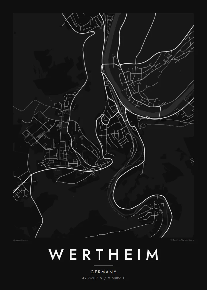
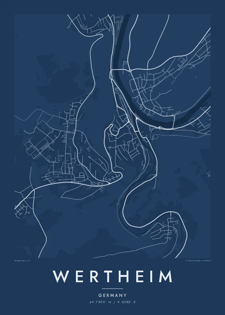
The Tauber flows into the Main right beside the old town. The rivers draw a sharp Y of water that gives the poster its instantly recognisable shape.
Qeeqabak kaartah poster · Germany
49.7590° N / 9.5085° E
A half-timbered town where the Main and Tauber meet, its old streets squeezed below a castle ruin on the hill.



Inki magaala, konoy gaba
Qande inkih tibbixeeh derre baguley table. Kulli qande missoowa caagid—daabbisimta, dirbaabu-le kaadu HD fayla akah.
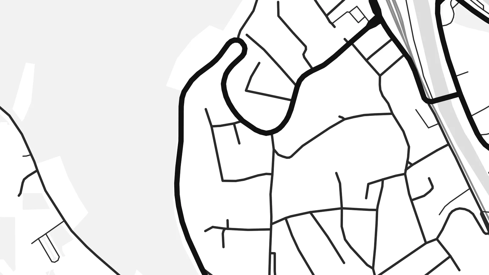 Cagalah pixels · 24 × 36″ daabbi fayla
Maxxaacah qeeqa
Tama usuk cagalah daabbi faylak 100% qambaala. Kulli poster — daabbisimta, dirbaabu-le kaadu download geytimta — ni-server-ittal 300 DPI-l ederimta, 7,200 × 10,800 pixels fanah, tokkel iyyi ellee catoy 24 × 36″ daabbi baxsi bahisak raaqu.
Gidarih


Kaarta
Wertheim sits where the Tauber flows into the Main. It is the northernmost town in Baden-Württemberg, right on the border with Bavaria. On a map, the two rivers meet in a clean Y shape. The old town fills the narrow wedge of land between them, its lanes packed tightly together below a wooded hill crowned by castle ruins.
That setting makes a Wertheim map poster especially easy to read. The broad curve of the Main dominates the frame, the smaller Tauber arrives from the south, and bridges cross both rivers into newer districts on the far banks. Vineyards and forested slopes rise around the town, leaving the valleys as the only easy routes through the landscape.
The large ruin of Wertheim Castle overlooks the half-timbered houses and the Kittsteintor gate, whose walls record the heights of historic floods. The town is also known for scientific glassmaking, which has shaped its modern economy since the mid-twentieth century, and there is a glass museum in the old town.
The Tauber flows into the Main right beside the old town. The rivers draw a sharp Y of water that gives the poster its instantly recognisable shape.
The ruined castle stands on the wooded ridge above the old town. Paths and roads wind up the slope toward it in tight curves.
Half-timbered streets fill the narrow point of land between the two rivers. This is the densest area of the map and the heart of the town.
Kok tanim ab
Ayro, migaq hinnay kok tan xagar osis; gaba, ballaqa hinnay xiqa soorris.
Free preview qansarissi kee watermark-le. Daabbisimtaan kee HD fayla 300 DPI-l, 7,200 × 10,800 px fanah, watermark maleh ederimta.
Macah Wertheim
Wertheim draws visitors from across Europe, from river-cruise passengers to walkers in the Main valley, and many locals have deep roots here. A map of the confluence is a graceful piece for a hallway or a study.
Personalise the title, subtitle and coordinates, perhaps with the date of a visit or a wedding at the castle. Pick one of five styles. The $9 HD download includes six sizes, from 30×40 cm to 24×36 inches, as PNG and PDF.
Wertheim poster orme| Maxxaacah ballaqa | Qeeqa | Faylal |
|---|---|---|
| 30 × 40 cm (11.8 × 15.7″) | 3,543 × 4,724 px | PNG · PDF |
| 29.7 × 42 cm (A3, 11.7 × 16.5″) | 3,508 × 4,961 px | PNG · PDF |
| 42 × 59.4 cm (A2, 16.5 × 23.4″) | 4,961 × 7,016 px | PNG · PDF |
| 45.7 × 61 cm (18 × 24″) | 5,400 × 7,200 px | PNG · PDF |
| 50 × 70 cm (19.7 × 27.6″) | 5,906 × 8,268 px | PNG · PDF |
| 61 × 91.4 cm (24 × 36″) | 7,200 × 10,800 px | PNG · PDF |
Tabbaltah, limo-wayta xaqqa-le ablo 900 px ballaqa le, asta le, iskiriinih keh tan. HD faylal gexsoh inkih addal 8× fanah qeeqa le, poster ballaqa inkih addal meqeh maxxaacimta.
Baxxaqqa qari le qandiy dooriy, tohuk lakal Daabbisimtah Poster — kutuk kee, faxximek, dirbaabu — hinnay HD Digital Fayla dooru. Checkout inki wagitti geytima, kaadu ku-orme page keenih adissa akke waqdi caagoy kummite.
Usuk 200 gsm-le catam kutuk warqatal, lica katiy caagitte $39-ik hane ayta 30 × 40 cm-ik 24 × 36″ fanah, xaagu keenil warreeh.
Ee. Sarrah-le dirbaabu doori — bad, gudduc, oak-le hinnay bad-madabuy. Usuk finqisiimam ellee sange qarab-le kaadu qari umukku iyya keenih taagu. Dirbaabu-le poster $99-ik hane, xaagu keenil warreeh.
Shipping is free worldwide. Each poster is printed by the nearest of our print partners in 30+ countries and usually arrives in 3–7 business days. You can follow the status and tracking under My Orders. A few countries take 2–5 weeks, and where we don't ship yet, the site tells you before you pay.
Geytimeek 14 ayróy addal foto naah rubbaay, cisab-le daabbisiynah hinnay ku-lacay gacisnaah.
Ee. Tama page-l edito addal, migaaq, subtitle kee coordinates sarrah faxxem fanah badal, kaadu qande kee katiy doori. Daabbisimtah, dirbaabu-le kaadu digital orme inkih ku-design cagalah yekkelen.
$9 bacisak 300 DPI PNG kee daabbisimtah adissime PDF fayla lica katiy inkih, watermark maleh, ayyi meki daabbisimtah geeytitta. Cisab makkoysemty ana? Awqak, watermark-le free preview download-eh.
