Confluence of rivers
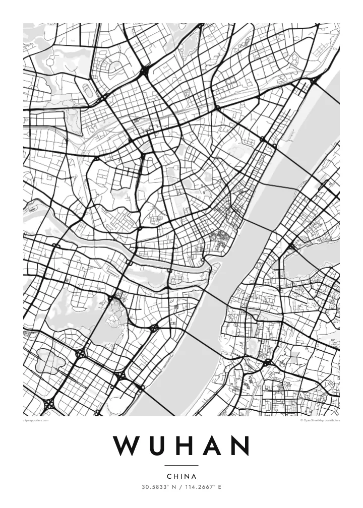
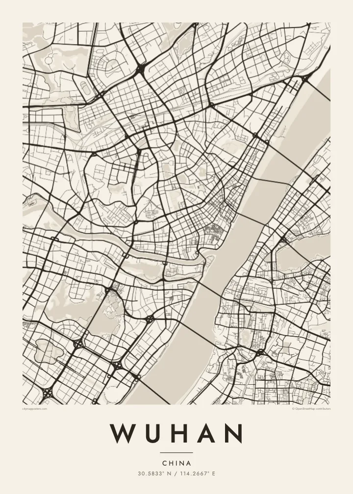
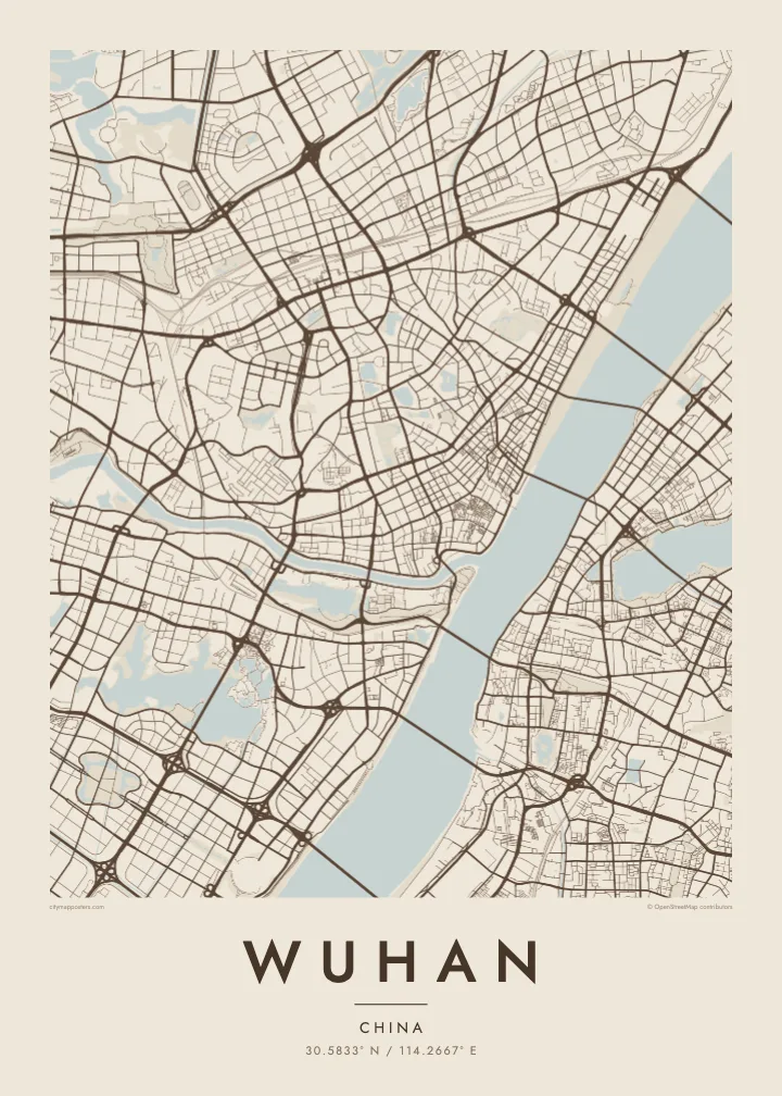
The narrow Han River joins the broad Yangtze at the heart of the city, dividing the plan into three clear sections and giving Wuhan its recognisable Y-shaped outline.
Qeeqabak kaartah poster · China
30.5833° N / 114.2667° E
Three historic towns divided by the Yangtze and Han rivers, set among dozens of lakes on a wide plain


Inki magaala, konoy gaba
Qande inkih tibbixeeh derre baguley table. Kulli qande missoowa caagid—daabbisimta, dirbaabu-le kaadu HD fayla akah.
 Cagalah pixels · 24 × 36″ daabbi fayla
Maxxaacah qeeqa
Tama usuk cagalah daabbi faylak 100% qambaala. Kulli poster — daabbisimta, dirbaabu-le kaadu download geytimta — ni-server-ittal 300 DPI-l ederimta, 7,200 × 10,800 pixels fanah, tokkel iyyi ellee catoy 24 × 36″ daabbi baxsi bahisak raaqu.
Gidarih


Kaarta
Wuhan is formed by a meeting of rivers. The Han River flows into the Yangtze in the middle of the city, and the two waterways divide it into three historic parts: Hankou to the north-west, Hanyang to the south-west and Wuchang on the eastern bank. On a map, this Y-shaped junction is unmistakable, with bridges linking each piece to the others.
Water continues beyond the rivers. Wuhan is scattered with lakes, the best known being East Lake, whose irregular shoreline spreads across the eastern districts beside Wuhan University. Hankou keeps a denser grid, including streets of the former concessions near the riverbank, while Hanyang and Wuchang are marked by Turtle Hill and Snake Hill, which face each other across the Yangtze.
The Wuhan Yangtze River Bridge, opened in 1957, was the first bridge built across the Yangtze, and it runs between those two hills. The Yellow Crane Tower, a landmark rebuilt many times over the centuries, stands on Snake Hill beside it. A Wuhan map poster shows a city where almost every journey across town involves crossing water.
The narrow Han River joins the broad Yangtze at the heart of the city, dividing the plan into three clear sections and giving Wuhan its recognisable Y-shaped outline.
A large lake with a deeply indented shoreline in Wuchang, surrounded by parkland, causeways and university campuses. It forms one of the biggest open shapes on the eastern side of the map.
A series of bridges crosses the Yangtze within the city, starting with the 1957 bridge between Turtle Hill and Snake Hill. They appear as spaced lines spanning the widest stretch of water.
Kok tanim ab
Ayro, migaq hinnay kok tan xagar osis; gaba, ballaqa hinnay xiqa soorris.
Free preview qansarissi kee watermark-le. Daabbisimtaan kee HD fayla 300 DPI-l, 7,200 × 10,800 px fanah, watermark maleh ederimta.
Macah Wuhan
Wuhan’s map carries meaning for graduates of its many universities, families from Hankou or Wuchang, and anyone who has watched the Yangtze from the old bridge. The rivers and lakes give it a spacious, balanced composition that stays clear at every print size.
Choose a title and subtitle, perhaps a campus, a neighbourhood or a year, and set the coordinates line. Then pick one of five styles, Classic black & white, Noir, Paper, Blueprint or Sand, as instant HD files or a printed poster with an optional wooden frame.
Wuhan poster orme| Maxxaacah ballaqa | Qeeqa | Faylal |
|---|---|---|
| 30 × 40 cm (11.8 × 15.7″) | 3,543 × 4,724 px | PNG · PDF |
| 29.7 × 42 cm (A3, 11.7 × 16.5″) | 3,508 × 4,961 px | PNG · PDF |
| 42 × 59.4 cm (A2, 16.5 × 23.4″) | 4,961 × 7,016 px | PNG · PDF |
| 45.7 × 61 cm (18 × 24″) | 5,400 × 7,200 px | PNG · PDF |
| 50 × 70 cm (19.7 × 27.6″) | 5,906 × 8,268 px | PNG · PDF |
| 61 × 91.4 cm (24 × 36″) | 7,200 × 10,800 px | PNG · PDF |
Tabbaltah, limo-wayta xaqqa-le ablo 900 px ballaqa le, asta le, iskiriinih keh tan. HD faylal gexsoh inkih addal 8× fanah qeeqa le, poster ballaqa inkih addal meqeh maxxaacimta.
Baxxaqqa qari le qandiy dooriy, tohuk lakal Daabbisimtah Poster — kutuk kee, faxximek, dirbaabu — hinnay HD Digital Fayla dooru. Checkout inki wagitti geytima, kaadu ku-orme page keenih adissa akke waqdi caagoy kummite.
Usuk 200 gsm-le catam kutuk warqatal, lica katiy caagitte $39-ik hane ayta 30 × 40 cm-ik 24 × 36″ fanah, xaagu keenil warreeh.
Ee. Sarrah-le dirbaabu doori — bad, gudduc, oak-le hinnay bad-madabuy. Usuk finqisiimam ellee sange qarab-le kaadu qari umukku iyya keenih taagu. Dirbaabu-le poster $99-ik hane, xaagu keenil warreeh.
Shipping is free worldwide. Each poster is printed by the nearest of our print partners in 30+ countries and usually arrives in 3–7 business days. You can follow the status and tracking under My Orders. A few countries take 2–5 weeks, and where we don't ship yet, the site tells you before you pay.
Geytimeek 14 ayróy addal foto naah rubbaay, cisab-le daabbisiynah hinnay ku-lacay gacisnaah.
Ee. Tama page-l edito addal, migaaq, subtitle kee coordinates sarrah faxxem fanah badal, kaadu qande kee katiy doori. Daabbisimtah, dirbaabu-le kaadu digital orme inkih ku-design cagalah yekkelen.
$9 bacisak 300 DPI PNG kee daabbisimtah adissime PDF fayla lica katiy inkih, watermark maleh, ayyi meki daabbisimtah geeytitta. Cisab makkoysemty ana? Awqak, watermark-le free preview download-eh.
Xayyo
