Zhuoshui riverbed
Taiwan's longest river forms the northern boundary of Zhushan. Its wide, braided channel is one of the most striking shapes in this part of the island.
Qeeqabak kaartah poster · Taiwan
23.7555° N / 120.6820° E
A Nantou township of bamboo hills rising south of the Zhuoshui River, with a small town on the plain below


Inki magaala, konoy gaba
Qande inkih tibbixeeh derre baguley table. Kulli qande missoowa caagid—daabbisimta, dirbaabu-le kaadu HD fayla akah.
 Cagalah pixels · 24 × 36″ daabbi fayla
Maxxaacah qeeqa
Tama usuk cagalah daabbi faylak 100% qambaala. Kulli poster — daabbisimta, dirbaabu-le kaadu download geytimta — ni-server-ittal 300 DPI-l ederimta, 7,200 × 10,800 pixels fanah, tokkel iyyi ellee catoy 24 × 36″ daabbi baxsi bahisak raaqu.
Gidarih


Kaarta
Zhushan is a township in Nantou County, in central Taiwan, and its name means bamboo mountain. The name fits. Bamboo has long been part of the local economy and crafts, and the hills to the south-east are covered in dense groves. The town centre lies on lower ground near the western edge of the township, where the hills meet the plain.
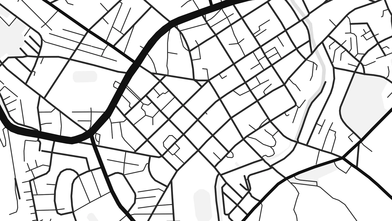
To the north the broad, braided bed of the Zhuoshui River forms a natural boundary. On a map it is a wide band of channels and gravel bars. The town itself is a compact grid of narrow blocks. From there, winding roads climb into the hills, following the contours past terraces, tea gardens and forest.
A Zhushan map poster frames both parts: the tight streets of the town and the looser, curving lines of the uplands. The contrast suits a minimalist print. The flat part is dense and regular, the hills are open and full of switchbacks, and the river runs along one side as a pale band.
Taiwan's longest river forms the northern boundary of Zhushan. Its wide, braided channel is one of the most striking shapes in this part of the island.
The centre of Zhushan is a compact area of closely spaced streets and small blocks. It is dense, but easy to read in black and white.
South and east of the town, narrow roads wind up into the bamboo-covered hills in tight curves and switchbacks, which gives the edges of the map a hand-drawn quality.
Kok tanim ab
Ayro, migaq hinnay kok tan xagar osis; gaba, ballaqa hinnay xiqa soorris.
Free preview qansarissi kee watermark-le. Daabbisimtaan kee HD fayla 300 DPI-l, 7,200 × 10,800 px fanah, watermark maleh ederimta.
Macah Zhushan
Zhushan means something to people who grew up among the bamboo or went up into the hills on weekend trips. The mix of river, town and mountain road makes a map with real depth, even though the style is very simple.
Put a name, a date or the Chinese place name in the title and subtitle, then choose Classic black & white, Noir, Paper, Blueprint or Sand. The HD download for $9 includes all six print sizes, with no watermark.
Zhushan poster orme| Maxxaacah ballaqa | Qeeqa | Faylal |
|---|---|---|
| 30 × 40 cm11.8 × 15.7″ | 3,543 × 4,724 px | PNG · PDF |
| 29.7 × 42 cm (A3)11.7 × 16.5″ | 3,508 × 4,961 px | PNG · PDF |
| 42 × 59.4 cm (A2)16.5 × 23.4″ | 4,961 × 7,016 px | PNG · PDF |
| 45.7 × 61 cm18 × 24″ | 5,400 × 7,200 px | PNG · PDF |
| 50 × 70 cm19.7 × 27.6″ | 5,906 × 8,268 px | PNG · PDF |
| 61 × 91.4 cm24 × 36″ | 7,200 × 10,800 px | PNG · PDF |
Tabbaltah, limo-wayta xaqqa-le ablo 900 px ballaqa le, asta le, iskiriinih keh tan. HD faylal gexsoh inkih addal 8× fanah qeeqa le, poster ballaqa inkih addal meqeh maxxaacimta.
Baxxaqqa qari le qandiy dooriy, tohuk lakal Daabbisimtah Poster — kutuk kee, faxximek, dirbaabu — hinnay HD Digital Fayla dooru. Checkout inki wagitti geytima, kaadu ku-orme page keenih adissa akke waqdi caagoy kummite.
Usuk 200 gsm-le catam kutuk warqatal, lica katiy caagitte $39-ik hane ayta 30 × 40 cm-ik 24 × 36″ fanah, xaagu keenil warreeh.
Ee. Sarrah-le dirbaabu doori — bad, gudduc, oak-le hinnay bad-madabuy. Usuk finqisiimam ellee sange qarab-le kaadu qari umukku iyya keenih taagu. Dirbaabu-le poster $99-ik hane, xaagu keenil warreeh.
Dirsa 60+ baaxoh bilsa. Poster kasa 30+ baaxoh nel print kaadu yan kee dirgeh kaxxa kee tanah printa, kee 3–7 xaqu ayyaamah yaaxigeeh. Xaaloo kee tracking "Ac Order" gexsitam. Kaadu baaxo 2–5 isbuuc yaaxigeeh, nanu dirsi yanin baaxoh sajiitah site ku kalah tekkeh.
Geytimeek 14 ayróy addal foto naah rubbaay, cisab-le daabbisiynah hinnay ku-lacay gacisnaah.
Ee. Tama page-l edito addal, migaaq, subtitle kee coordinates sarrah faxxem fanah badal, kaadu qande kee katiy doori. Daabbisimtah, dirbaabu-le kaadu digital orme inkih ku-design cagalah yekkelen.
$9 bacisak 300 DPI PNG kee daabbisimtah adissime PDF fayla lica katiy inkih, watermark maleh, ayyi meki daabbisimtah geeytitta. Cisab makkoysemty ana? Awqak, watermark-le free preview download-eh.
Xayyo
