Main road spine
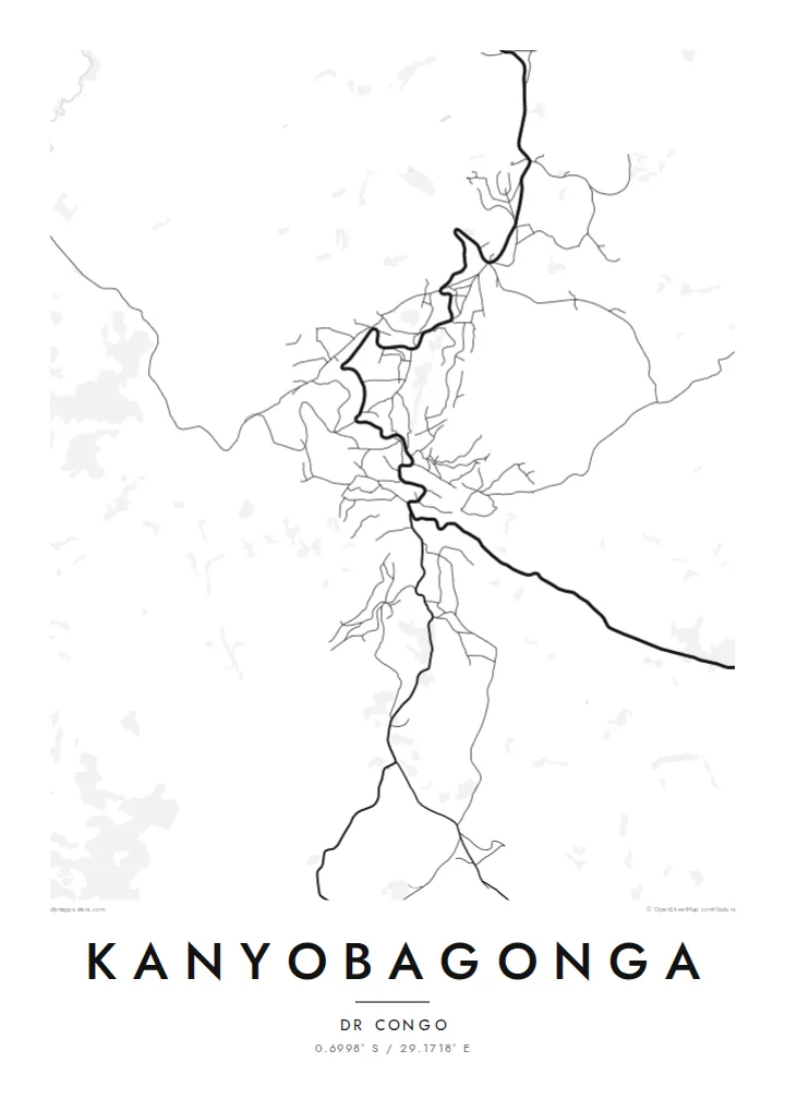
The national road running between Goma and Butembo forms the backbone of the town, a single winding line along which most of the streets and buildings are arranged.
ملصق خريطة بسيط · الكونغو - كينشاسا
0.6998° S / 29.1718° E
A highland town strung along the main road through North Kivu, its streets folded into the ridges and valleys around it.

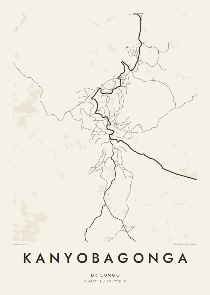
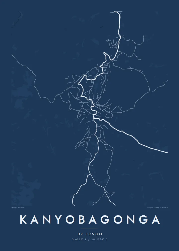

مدينة واحدة، خمسة أمزجة
اضغط على أي نمط لتراه على الحائط. جميع الأنماط بنفس السعر — مطبوعة أو مؤطرة أو كملفات HD.
 بكسلات حقيقية · ملف طباعة 24 × 36 بوصة
حدّة الطباعة
هذا اقتصاص 100% من ملف الطباعة الحقيقي. كل بوستر — مطبوع أو مؤطر أو منزّل — يُعالَج على خوادمنا بدقة 300 DPI، وصولًا إلى 7,200 × 10,800 بكسل، لتبقى أدق الشوارع واضحة حتى على طباعة 24 × 36 بوصة.
على الحائط


الخريطة
Kanyobagonga lies in the highlands of North Kivu in the eastern Democratic Republic of the Congo, on the main road that links Goma in the south with Butembo and Beni to the north. The town has grown along this route, and from above it reads as a linear settlement that follows the road as it bends across hilly terrain, with side streets branching toward the slopes.
The landscape around the town is one of steep hills, cultivated fields and valleys, typical of the Kivu highlands, where small farm plots climb the hillsides. On the map this terrain shows through the curving roads and irregular blocks, a pattern shaped by contour lines rather than by any planned grid.
A Kanyobagonga map poster offers a restrained record of a town that many know mainly as a stop on the long journey through North Kivu. Rendered in fine lines, the road, the side streets and the surrounding slopes become a quiet image of one particular place in the hills of eastern Congo.
The national road running between Goma and Butembo forms the backbone of the town, a single winding line along which most of the streets and buildings are arranged.
Side roads leave the main route and climb or descend the surrounding slopes, their curves following the terrain and giving the map an organic, contour-like texture.
Beyond the built-up area, the hills are divided into small cultivated plots, a finely broken pattern that frames the town on the poster and emphasises the relief.
اجعله خاصًا بك
أضف تاريخًا أو اسمًا أو عبارة خاصة بك، وغيّر النمط أو المقاس أو الاتجاه.
المعاينة المجانية منخفضة الدقة وتحمل علامة مائية. المطبوعات وملفات HD تُعالَج بدقة 300 DPI، وصولًا إلى 7,200 × 10,800 بكسل، بلا علامة مائية.
لماذا Kanyobagonga
For people from Kanyobagonga, a map is a way to hold on to the shape of home: the road through town, the hills, the streets where family lives. It makes a meaningful gift for relatives far away.
Write your own title and subtitle, add a date or a family name, and choose one of five styles: Classic black & white, Noir, Paper, Blueprint or Sand. A free 900 px preview is available, and HD files for printing cost $9.
اطلب بوستر Kanyobagonga| مقاس الطباعة | الدقة | الملفات |
|---|---|---|
| 30 × 40 cm (11.8 × 15.7″) | 3,543 × 4,724 px | PNG · PDF |
| 29.7 × 42 cm (A3, 11.7 × 16.5″) | 3,508 × 4,961 px | PNG · PDF |
| 42 × 59.4 cm (A2, 16.5 × 23.4″) | 4,961 × 7,016 px | PNG · PDF |
| 45.7 × 61 cm (18 × 24″) | 5,400 × 7,200 px | PNG · PDF |
| 50 × 70 cm (19.7 × 27.6″) | 5,906 × 8,268 px | PNG · PDF |
| 61 × 91.4 cm (24 × 36″) | 7,200 × 10,800 px | PNG · PDF |
للمقارنة، يبلغ عرض المعاينة المجانية 900 بكسل، وتحمل علامة مائية ومخصصة للشاشات. أما ملفات HD فدقتها أعلى بما يصل إلى 8 أضعاف في كل اتجاه، وتُطبع بوضوح تام بالمقاس الكامل للملصق.
اختر نمطًا من أعلى الصفحة، ثم اختر بوستر مطبوع — بحجم وإطار إن أردت — أو ملفات HD رقمية. الدفع يتم بخطوة واحدة، وتتحدّث صفحة طلبك فور إتمام الدفع.
يُطبع على ورق مطفي فاخر بوزن 200 جرام بأحد ستة مقاسات، من 30 × 40 سم إلى 24 × 36 بوصة. تبدأ أسعار البوسترات المطبوعة من {printFrom}، والشحن مشمول.
نعم. اختر إطارًا من الخشب الصلب باللون الأسود أو الأبيض أو خشب البلوط الطبيعي أو الخشب الداكن. يأتي بزجاج مقاوم للكسر وجاهز للتعليق مباشرة. تبدأ أسعار البوسترات المؤطرة من {framedFrom}، والشحن مشمول.
الشحن مجاني حول العالم. يُطبع كل بوستر لدى أقرب شريك طباعة لدينا في أكثر من 30 دولة، وعادة ما يصل خلال 3–7 أيام عمل. يمكنك متابعة الحالة ورقم التتبع من صفحة طلباتي.
أرسل لنا صورة خلال 14 يومًا من الاستلام، وسنعيد الطباعة مجانًا أو نرد المبلغ.
نعم. من المحرر في هذه الصفحة، غيّر العنوان والعنوان الفرعي وسطر الإحداثيات كما تشاء، واختر النمط والحجم. الطلبات المطبوعة والمؤطرة والرقمية تستخدم تصميمك بالضبط.
مقابل $9 تحصل على ملفات PNG بدقة 300 DPI وملفات PDF جاهزة للطباعة بجميع المقاسات الستة، بلا علامة مائية، لطباعتها في أي مكان. لست متأكدًا بعد؟ نزّل معاينة مجانية بعلامة مائية أولًا.
