Óbuda Island
The long island in the Danube, once a shipyard, lies parallel to the western bank. With its narrow side channel, it forms a distinctive double line of water.
Minimalistički poster mape · Mađarska
47.5407° N / 19.0386° E
Budapest's northern riverside, with a long island in the Danube, Roman ruins and streets climbing into the Buda Hills.


Jedan grad, pet raspoloženja
Dodirnite stil da ga vidite na zidu. Svi stilovi koštaju isto — bilo da su odštampani, uramljeni ili kao HD fajlovi.
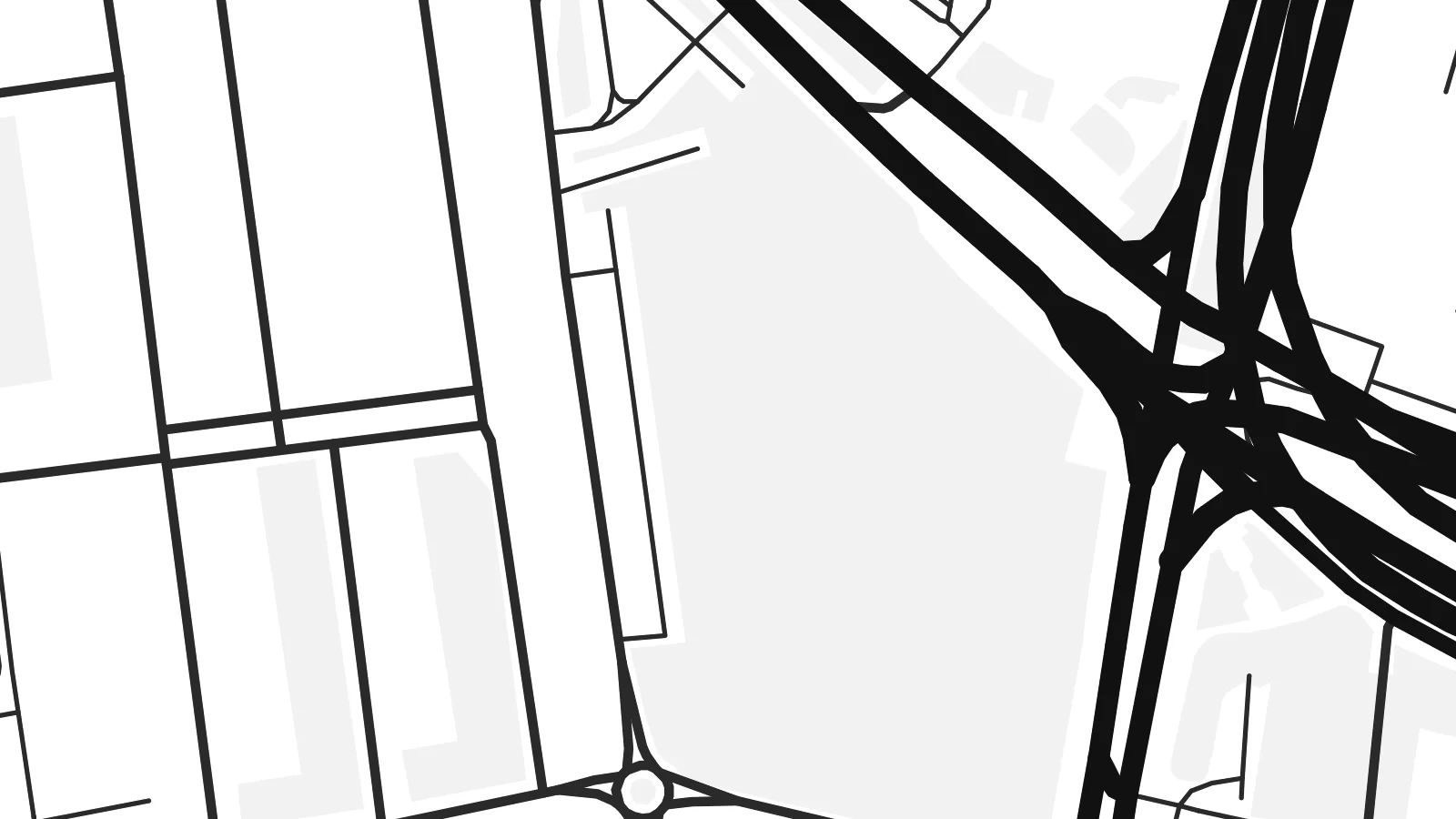 Stvarni pikseli · fajl za štampu 24 × 36″
Oštro za štampu
Ovo je isječak u punoj veličini (100%) stvarnog fajla za štampu. Svaki poster — odštampan, uramljen ili preuzet — renderuje se na našim serverima u rezoluciji 300 DPI, do 7,200 × 10,800 piksela, tako da čak i najsitnije ulice ostaju oštre na otisku 24 × 36″.
Na zidu


Mapa
Óbuda, meaning Old Buda, was a separate town until 1873, when it joined Buda and Pest to form Budapest. Today it is District III on the west bank of the Danube, stretching north from the Árpád Bridge towards the city limits. On a map it spreads between the straight line of the river and the rising ground of the hills to the west.
The riverside is its strongest feature. Óbuda Island lies just offshore. It was long used as a shipyard and is now known as the home of the Sziget Festival. The suburban HÉV railway runs parallel to the water. Inland, a small historic core around Fő tér survives beside large housing estates, and the street pattern loosens as it climbs westward into wooded slopes.
Long before Budapest existed, this was Aquincum, the Roman town that served as the capital of the province of Pannonia Inferior. Its remains, including two amphitheatres, are still visible among modern streets. An Óbuda map poster shows those layers clearly, with ancient sites, Danube channels, bridges and hillside lanes held in a single frame.
The long island in the Danube, once a shipyard, lies parallel to the western bank. With its narrow side channel, it forms a distinctive double line of water.
Roman ruins appear as open plots within the street pattern, from the site of the civil town in the north to the military amphitheatre closer to the centre.
Budapest's longest bridge crosses the Danube and the northern tip of Margaret Island here, a strong horizontal line at the southern edge of the district.
Učinite ga svojim
Dodajte datum, ime ili vlastiti tekst, promijenite stil, veličinu ili orijentaciju.
Besplatan pregled je niske rezolucije sa vodenim žigom. Štampani posteri i HD fajlovi se renderuju u rezoluciji 300 DPI, do 7,200 × 10,800 px, bez vodenog žiga.
Zašto Óbuda
Óbuda suits people who know Budapest beyond its postcard centre: those who lived near Flórián tér, came for the festival or walked the Roman sites. The river and the island give the print a clean structure that holds up at any of the six print sizes.
Rename it, add a subtitle such as the district number or a date, and set the coordinates line as you like. Then choose Classic black & white, Noir, Paper, Blueprint or Sand. Download the HD files for $9, or order a matte print with an optional wooden frame.
Naručite poster Óbuda| Veličina printa | Rezolucija | Fajlovi |
|---|---|---|
| 30 × 40 cm (11.8 × 15.7″) | 3,543 × 4,724 px | PNG · PDF |
| 29.7 × 42 cm (A3, 11.7 × 16.5″) | 3,508 × 4,961 px | PNG · PDF |
| 42 × 59.4 cm (A2, 16.5 × 23.4″) | 4,961 × 7,016 px | PNG · PDF |
| 45.7 × 61 cm (18 × 24″) | 5,400 × 7,200 px | PNG · PDF |
| 50 × 70 cm (19.7 × 27.6″) | 5,906 × 8,268 px | PNG · PDF |
| 61 × 91.4 cm (24 × 36″) | 7,200 × 10,800 px | PNG · PDF |
Poređenja radi, besplatni pregled je širok 900 px, ima vodeni žig i namijenjen je ekranima. HD fajlovi imaju do 8× veću rezoluciju u svakom smjeru i čisto se štampaju u punoj veličini postera.
Odaberite stil na vrhu stranice, a zatim izaberite Štampani poster — veličinu i, po želji, ram — ili Digitalne HD fajlove. Plaćanje se obavlja u jednom koraku, a stranica vaše narudžbe se ažurira čim uplata prođe.
Štampa se na premium mat papiru gramature 200 g/m² u jednoj od šest veličina, od 30 × 40 cm do 24 × 36″. Štampani posteri počinju od {printFrom}, dostava uključena.
Da. Odaberite ram od masivnog drveta u crnoj, bijeloj, prirodnoj hrastovoj ili tamnoj boji drveta. Dolazi sa nelomljivim staklom i spreman je za vješanje. Uramljeni posteri počinju od {framedFrom}, dostava uključena.
Dostava je besplatna širom svijeta. Svaki poster štampa najbliži od naših partnera za štampu u više od 30 zemalja, a obično stiže za 3–7 radnih dana. Status i praćenje pošiljke možete pratiti u odjeljku Moje narudžbe.
Pošaljite nam fotografiju u roku od 14 dana od dostave i besplatno ćemo ga ponovo odštampati ili vam vratiti novac.
Da. U editoru na ovoj stranici možete promijeniti naslov, podnaslov i red sa koordinatama po želji, te odabrati stil i veličinu. Štampane, uramljene i digitalne narudžbe koriste tačno vaš dizajn.
Za $9 dobijate PNG fajlove u rezoluciji 300 DPI i PDF fajlove spremne za štampu u svih šest veličina, bez vodenog žiga, koje možete odštampati bilo gdje. Niste još sigurni? Prvo preuzmite besplatan pregled sa vodenim žigom.
