The upper Lualaba
The river that later becomes the Congo passes the town as a broad, shifting line. It is the widest and most defining shape on the map and anchors the whole composition.
پوستر نقشه مینیمال · کنگو - کینشاسا
10.3781° S / 24.5452° E
A river town drawn along the upper Lualaba, where channels, marsh and scattered lanes meet the open savanna.


یک شهر، پنج حالوهوا
روی یک سبک ضربه بزنید تا آن را روی دیوار ببینید. همه سبکها قیمت یکسانی دارند — چاپی، قابشده یا فایلهای HD.
 پیکسل واقعی · فایل چاپی ۲۴ × ۳۶ اینچ
وضوح چاپی
این یک برش ۱۰۰٪ از فایل چاپی واقعی است. هر پوستر — چاپی، قابشده یا دانلودی — روی سرورهای ما با کیفیت 300 DPI و تا 7,200 × 10,800 پیکسل رندر میشود، به همین دلیل حتی ریزترین خیابانها هم روی چاپ ۲۴ × ۳۶ اینچ واضح میمانند.
روی دیوار


نقشه
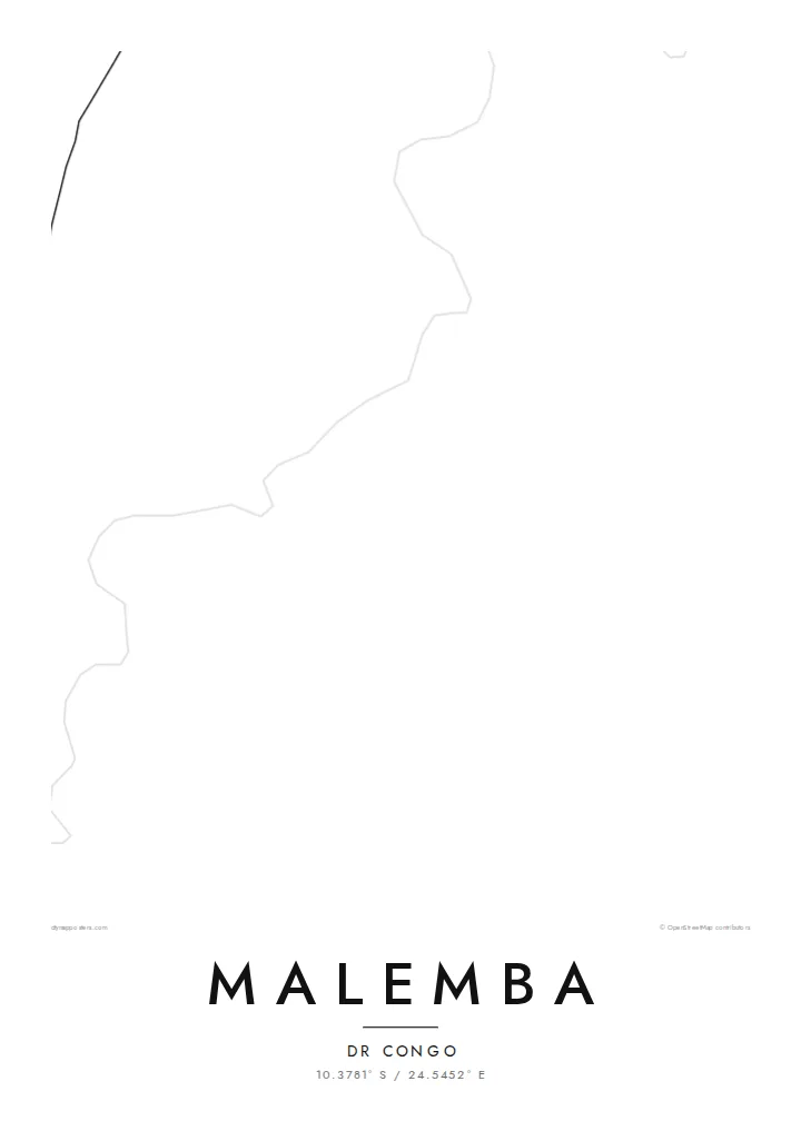
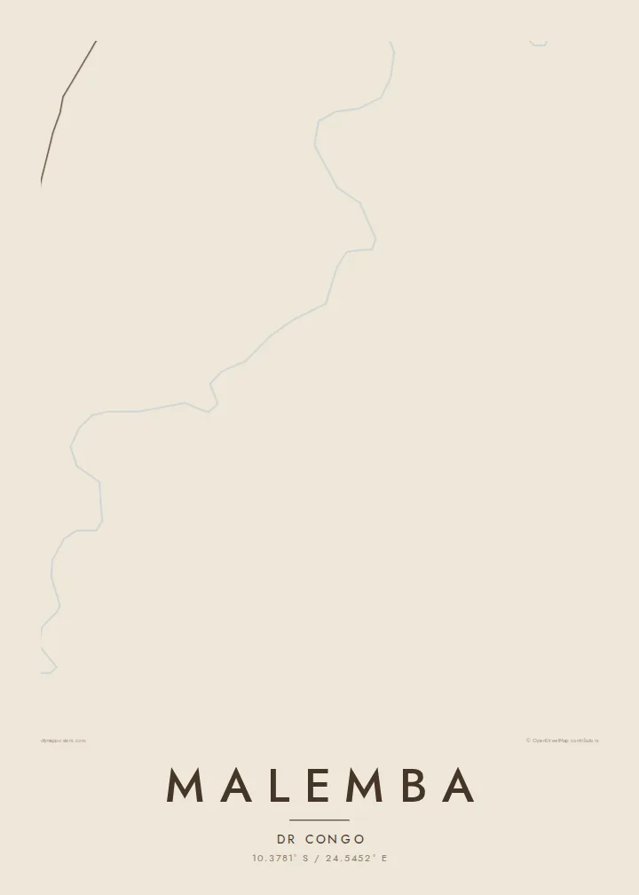
Malemba sits on the upper Lualaba, the long headstream of the Congo, in the south-east of the Democratic Republic of the Congo. From above, the river sets the scene. It is a wide ribbon edged by wetland, and the town's lanes run back from its bank toward drier ground. Few maps of central Africa show this much water and this little pavement in the same frame.
The surrounding country is low and flat. It belongs to a basin of lakes, swamps and seasonal floodplains, and protected land lies not far away. On a map this becomes a soft pattern of braided channels and pale open ground. The built area is a compact cluster of tracks and plots rather than a dense grid, so the river remains the strongest line on the sheet.
A Malemba map poster suits anyone who knows the place through the river: the landings, the water level after the rains, the distances measured in hours by boat rather than kilometres by road. Reduced to black lines on white, the town is modest and the water is generous. That balance is honest about how Malemba sits in its landscape.
The river that later becomes the Congo passes the town as a broad, shifting line. It is the widest and most defining shape on the map and anchors the whole composition.
Marsh and floodplain press close to the settlement. On the poster they read as fine, irregular edges where the land and the water never quite agree on a boundary.
Instead of a formal grid, the town is a loose web of tracks and lanes. The open spaces between them keep the design light and airy.
شخصیسازی کنید
یک تاریخ، یک نام یا جملهای از خودتان اضافه کنید و سبک، اندازه یا جهت را تغییر دهید.
پیشنمایش رایگان کیفیت پایین و دارای واترمارک است. نسخههای چاپی و فایلهای HD با کیفیت 300 DPI، تا 7,200 × 10,800 پیکسل و بدون واترمارک رندر میشوند.
چرا Malemba
People hang a map of Malemba to keep a river town close after moving away, or to mark years of work in the region. A title such as a family name or the year of a first journey turns the sheet into a record that belongs to one person.
The layout comes in five styles: Classic black & white, Noir, Paper, Blueprint and Sand. Sand and Paper suit the warm tones of savanna country. The title, subtitle and coordinates line can all be edited before you download the HD file or order a print.
سفارش پوستر Malemba| اندازه چاپ | وضوح | فایلها |
|---|---|---|
| 30 × 40 cm (11.8 × 15.7″) | 3,543 × 4,724 px | PNG · PDF |
| 29.7 × 42 cm (A3, 11.7 × 16.5″) | 3,508 × 4,961 px | PNG · PDF |
| 42 × 59.4 cm (A2, 16.5 × 23.4″) | 4,961 × 7,016 px | PNG · PDF |
| 45.7 × 61 cm (18 × 24″) | 5,400 × 7,200 px | PNG · PDF |
| 50 × 70 cm (19.7 × 27.6″) | 5,906 × 8,268 px | PNG · PDF |
| 61 × 91.4 cm (24 × 36″) | 7,200 × 10,800 px | PNG · PDF |
برای مقایسه، پیشنمایش رایگان ۹۰۰ پیکسل عرض دارد، واترمارکدار است و برای نمایش روی صفحه در نظر گرفته شده. فایلهای HD در هر جهت تا ۸ برابر وضوح بیشتری دارند و در اندازه کامل پوستر بهخوبی چاپ میشوند.
یک سبک را از بالای صفحه انتخاب کنید، سپس پوستر چاپی — یک اندازه و در صورت تمایل یک قاب — یا فایلهای دیجیتال HD را انتخاب کنید. پرداخت فقط یک مرحله دارد و صفحه سفارش شما به محض تکمیل پرداخت بهروزرسانی میشود.
روی کاغذ مات پرمیوم ۲۰۰ گرمی و در یکی از شش اندازه، از ۳۰ × ۴۰ سانتیمتر تا ۲۴ × ۳۶ اینچ، چاپ میشود. قیمت پوسترهای چاپی از {printFrom} شروع میشود و هزینه ارسال هم شامل آن است.
بله. یک قاب چوب طبیعی به رنگ مشکی، سفید، بلوط طبیعی یا چوب تیره انتخاب کنید. این قاب با شیشه ضدشکست عرضه میشود و آماده نصب است. قیمت پوسترهای قابشده از {framedFrom} شروع میشود و هزینه ارسال هم شامل آن است.
ارسال در سراسر جهان رایگان است. هر پوستر توسط نزدیکترین شریک چاپ ما در بیش از ۳۰ کشور چاپ میشود و معمولاً طی ۳ تا ۷ روز کاری میرسد. میتوانید وضعیت و رهگیری سفارش را در بخش سفارشهای من دنبال کنید.
ظرف ۱۴ روز از تحویل، یک عکس برای ما بفرستید تا آن را بهصورت رایگان دوباره چاپ کنیم یا هزینهتان را بازگردانیم.
بله. در ویرایشگر همین صفحه، عنوان، زیرعنوان و خط مختصات را به دلخواه تغییر دهید و یک سبک و اندازه انتخاب کنید. سفارشهای چاپی، قابشده و دیجیتال همگی دقیقاً از طرح شما استفاده میکنند.
با $9 فایلهای PNG با کیفیت 300 DPI و فایلهای PDF آماده چاپ را در هر شش اندازه، بدون واترمارک، دریافت میکنید تا هر جا خواستید چاپ کنید. هنوز مطمئن نیستید؟ ابتدا یک پیشنمایش رایگان با واترمارک دانلود کنید.
