Tórshavn and Tinganes
The capital's streets fan out from the harbour, with the rocky Tinganes peninsula at its centre. It is the densest cluster of lines anywhere in the Faroes.
پوستر نقشه مینیمال · جزایر فارو
62.1236° N / 6.9969° W
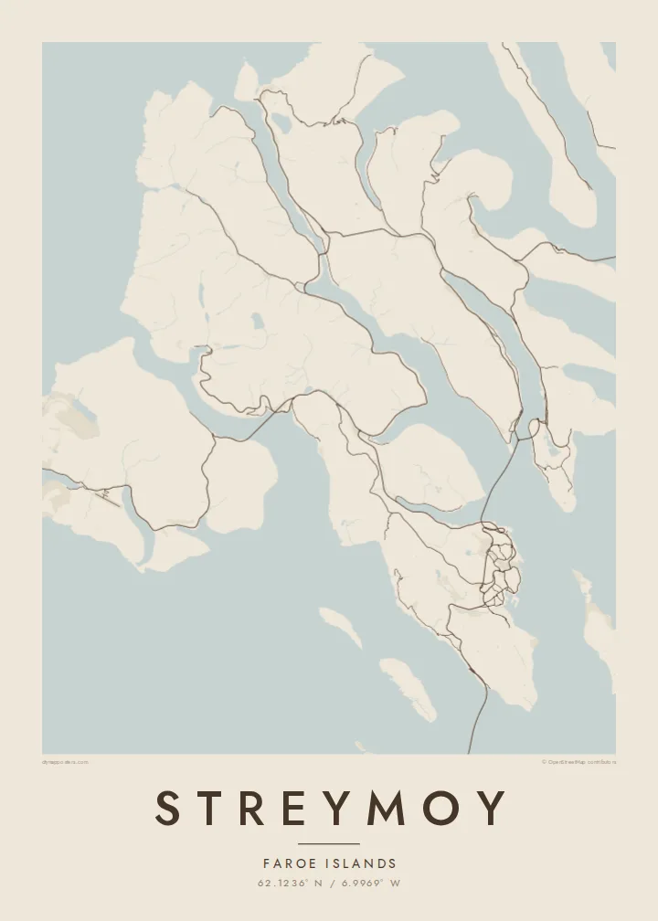
The largest Faroe island, a long mountain spine notched by fjords, with Tórshavn tucked into its southeastern shore.


یک شهر، پنج حالوهوا
روی یک سبک ضربه بزنید تا آن را روی دیوار ببینید. همه سبکها قیمت یکسانی دارند — چاپی، قابشده یا فایلهای HD.
 پیکسل واقعی · فایل چاپی ۲۴ × ۳۶ اینچ
وضوح چاپی
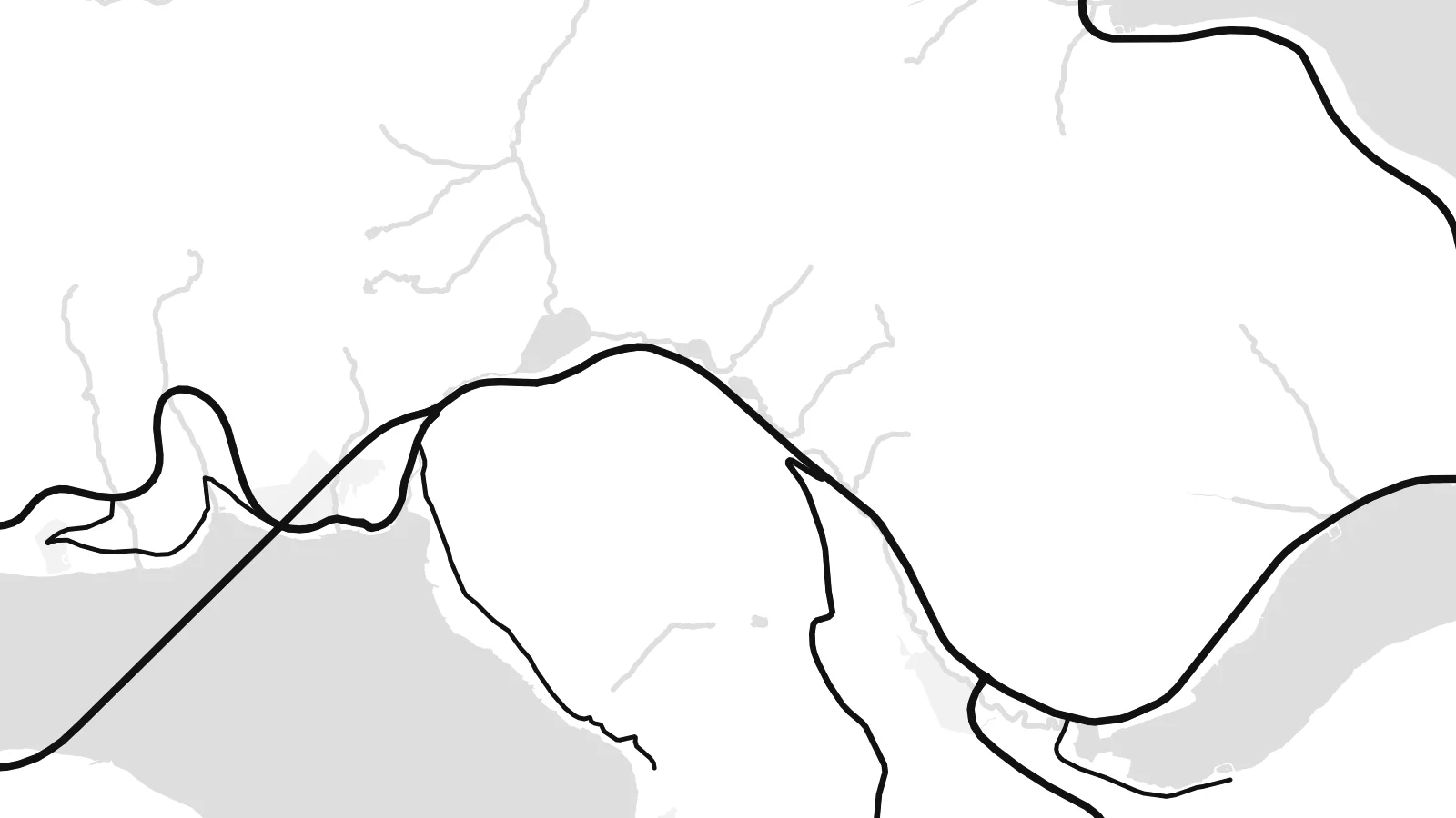
این یک برش ۱۰۰٪ از فایل چاپی واقعی است. هر پوستر — چاپی، قابشده یا دانلودی — روی سرورهای ما با کیفیت 300 DPI و تا 7,200 × 10,800 پیکسل رندر میشود، به همین دلیل حتی ریزترین خیابانها هم روی چاپ ۲۴ × ۳۶ اینچ واضح میمانند.
روی دیوار


نقشه
Streymoy is the largest and most populous of the Faroe Islands, a long island running northwest to southeast between Vágar and Eysturoy. From above it looks like a mountain spine with steep flanks, the coast notched by fjords and the interior crossed by only a handful of roads. Villages sit on narrow shelves of flat ground where valleys meet the sea.
Tórshavn, the capital, occupies the southeastern coast, its streets climbing from the harbour and the small Tinganes peninsula, where the Faroese government sits among turf-roofed buildings. To the south, Kirkjubøur holds the medieval ruins of the Magnus Cathedral. On the north coast, Saksun sits above a tidal lagoon that fills and drains with the sea.
Streymoy is tied to its neighbours by a short bridge across the sound to Eysturoy and by tunnels running beneath the sea, so most journeys in the archipelago pass through it. A Streymoy map poster shows how these links pull the island into the centre of the Faroes, with Tórshavn as its densest point and long empty ridges stretching north.
The capital's streets fan out from the harbour, with the rocky Tinganes peninsula at its centre. It is the densest cluster of lines anywhere in the Faroes.
A narrow channel separates Streymoy from Eysturoy, spanned by a short bridge. On the map it reads almost like a river, the thinnest gap between two islands.
In the north, a small tidal lagoon opens to the sea through a narrow channel below the village of Saksun, a delicate shape on an otherwise steep coastline.
شخصیسازی کنید
یک تاریخ، یک نام یا جملهای از خودتان اضافه کنید و سبک، اندازه یا جهت را تغییر دهید.
پیشنمایش رایگان کیفیت پایین و دارای واترمارک است. نسخههای چاپی و فایلهای HD با کیفیت 300 DPI، تا 7,200 × 10,800 پیکسل و بدون واترمارک رندر میشوند.
چرا Streymoy
For Faroese families and anyone who has lived in Tórshavn, Streymoy is home ground. For visitors it is where most journeys start and end. The island's long outline and cut coast make a strong, graphic poster.
Use the title for a village or street name, the subtitle for a date, and the coordinates line for a precise spot. Choose one of five styles, Classic black & white, Noir, Paper, Blueprint or Sand, as a $9 HD file or a printed poster.
سفارش پوستر Streymoy| اندازه چاپ | وضوح | فایلها |
|---|---|---|
| 30 × 40 cm11.8 × 15.7″ | 3,543 × 4,724 px | PNG · PDF |
| 29.7 × 42 cm (A3)11.7 × 16.5″ | 3,508 × 4,961 px | PNG · PDF |
| 42 × 59.4 cm (A2)16.5 × 23.4″ | 4,961 × 7,016 px | PNG · PDF |
| 45.7 × 61 cm18 × 24″ | 5,400 × 7,200 px | PNG · PDF |
| 50 × 70 cm19.7 × 27.6″ | 5,906 × 8,268 px | PNG · PDF |
| 61 × 91.4 cm24 × 36″ | 7,200 × 10,800 px | PNG · PDF |
برای مقایسه، پیشنمایش رایگان ۹۰۰ پیکسل عرض دارد، واترمارکدار است و برای نمایش روی صفحه در نظر گرفته شده. فایلهای HD در هر جهت تا ۸ برابر وضوح بیشتری دارند و در اندازه کامل پوستر بهخوبی چاپ میشوند.
یک سبک را از بالای صفحه انتخاب کنید، سپس پوستر چاپی — یک اندازه و در صورت تمایل یک قاب — یا فایلهای دیجیتال HD را انتخاب کنید. پرداخت فقط یک مرحله دارد و صفحه سفارش شما به محض تکمیل پرداخت بهروزرسانی میشود.
روی کاغذ مات پرمیوم ۲۰۰ گرمی و در یکی از شش اندازه، از ۳۰ × ۴۰ سانتیمتر تا ۲۴ × ۳۶ اینچ، چاپ میشود. قیمت پوسترهای چاپی از $39 شروع میشود و هزینه ارسال هم شامل آن است.
بله. یک قاب چوب طبیعی به رنگ مشکی، سفید، بلوط طبیعی یا چوب تیره انتخاب کنید. این قاب با شیشه ضدشکست عرضه میشود و آماده نصب است. قیمت پوسترهای قابشده از $99 شروع میشود و هزینه ارسال هم شامل آن است.
ارسال در سراسر جهان رایگان است. هر پوستر توسط نزدیکترین شریک چاپ ما، از میان شرکای ما در بیش از ۳۰ کشور، چاپ میشود و معمولاً ظرف ۳ تا ۷ روز کاری میرسد. وضعیت سفارش و کد رهگیری را میتوانید در «سفارشهای من» ببینید. ارسال به چند کشور ۲ تا ۵ هفته طول میکشد و اگر هنوز به کشوری ارسال نداشته باشیم، سایت پیش از پرداخت به شما اطلاع میدهد.
ظرف ۱۴ روز از تحویل، یک عکس برای ما بفرستید تا آن را بهصورت رایگان دوباره چاپ کنیم یا هزینهتان را بازگردانیم.
بله. در ویرایشگر همین صفحه، عنوان، زیرعنوان و خط مختصات را به دلخواه تغییر دهید و یک سبک و اندازه انتخاب کنید. سفارشهای چاپی، قابشده و دیجیتال همگی دقیقاً از طرح شما استفاده میکنند.
با $9 فایلهای PNG با کیفیت 300 DPI و فایلهای PDF آماده چاپ را در هر شش اندازه، بدون واترمارک، دریافت میکنید تا هر جا خواستید چاپ کنید. هنوز مطمئن نیستید؟ ابتدا یک پیشنمایش رایگان با واترمارک دانلود کنید.
در همین نزدیکی
