Mountain spine
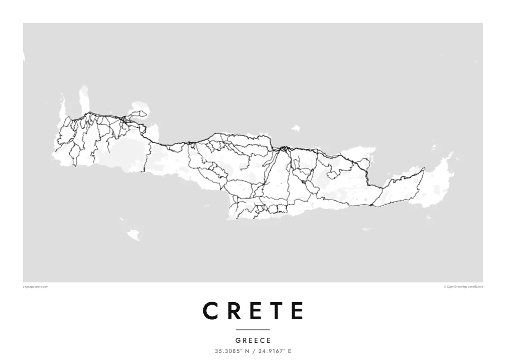
Three ranges run along the island's length and give the interior a sparse, winding road pattern. The poster shows where valleys open and where the mountains leave the map almost empty.
Minimalistiskt kortplakat · Grikkaland
35.3085° N / 24.9167° E
A long, mountain-spined island stretched east to west, with its cities strung along a single northern coastal highway.


Ein býur, fimm stemningar
Trýst á ein stíl fyri at síggja hann á veggnum. Allir stílar kosta tað sama — sum prent, í ramma ella sum HD-fílur.
 Veruligar pixlar · 24 × 36″ prentfíla
Prentskarpt
Hetta er ein 100% útskurður av teirri veruligu prentfíluni. Hvør plakat — prentað, í ramma ella niðurhalað — verður gjørd á okkara ambætarum við 300 DPI, upp til 7,200 × 10,800 pixlar, so eisini tær smæstu gøtur halda seg skarpar á einum 24 × 36″ prenti.
Á veggnum


Kortið
Crete is the largest Greek island and one of the largest in the Mediterranean, about 260 kilometres from end to end and rarely more than 60 wide. Three mountain ranges form its backbone: the White Mountains in the west, Psiloritis, the ancient Mount Ida, at the centre, and the Dikti range in the east. Between them lie high plateaus, including the enclosed farmland of Lasithi.
Almost every large town sits on the north coast: Chania, Rethymno, Heraklion and Agios Nikolaos, linked by a highway that follows the shore. The south coast is steeper and more broken, with roads that often end at small harbours. On a Crete map poster this imbalance is clear, a dense northern edge of streets and a southern edge of cliffs, gorges and bays.
Crete was the centre of the Minoan civilisation, and the palace of Knossos lies just south of Heraklion. Venetian rule left fortified harbours in Chania and Heraklion that still shape their old towns. In the southwest, the Samaria Gorge cuts through the White Mountains toward the Libyan Sea and is counted among the longest gorges in Europe.
Three ranges run along the island's length and give the interior a sparse, winding road pattern. The poster shows where valleys open and where the mountains leave the map almost empty.
A single highway links the main cities from west to east, and on the poster it reads as one long thread with urban clusters knotted along it at intervals.
At the island's western corners, the Gramvousa peninsula shelters the Balos lagoon and the shallows of Elafonisi fade into sand, adding delicate shoreline detail to the end of the composition.
Ger tað til títt
Legg ein dag, eitt navn ella egnan tekst afturat, skift stíl, stødd ella snið.
Ókeypis forskoðanin er í lágari upploysing og hevur vatnmerki. Prent og HD-fílur verða gjørdar við 300 DPI, upp til 7,200 × 10,800 px, uttan vatnmerki.
Hví Crete
Crete's outline is long and horizontal, which makes it a natural fit for a wide wall above a sofa or a desk. It suits people who spent summers in its villages, families from Chania or Heraklion, and travellers who walked the gorges.
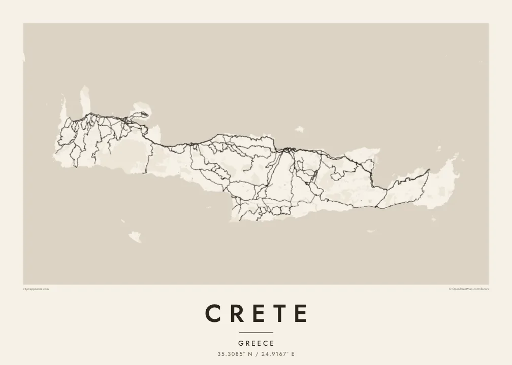
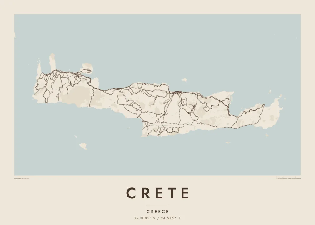
Personalise the title, add a subtitle with a village or a date, and edit the coordinates line. Of the five styles, Blueprint emphasises the road network, Sand and Paper soften the mountains, and Noir and Classic keep it stark. Files cost $9 and include six sizes, or order it printed and framed.
Panta Crete-plakatið| Prentstødd | Upploysn | Fílur |
|---|---|---|
| 30 × 40 cm (11.8 × 15.7″) | 3,543 × 4,724 px | PNG · PDF |
| 29.7 × 42 cm (A3, 11.7 × 16.5″) | 3,508 × 4,961 px | PNG · PDF |
| 42 × 59.4 cm (A2, 16.5 × 23.4″) | 4,961 × 7,016 px | PNG · PDF |
| 45.7 × 61 cm (18 × 24″) | 5,400 × 7,200 px | PNG · PDF |
| 50 × 70 cm (19.7 × 27.6″) | 5,906 × 8,268 px | PNG · PDF |
| 61 × 91.4 cm (24 × 36″) | 7,200 × 10,800 px | PNG · PDF |
Til samanberingar er ókeypis forsýningin 900 px breið, við vatnmerki og ætlað til skerm. HD-fílurnar hava upp til 8 ferðir so høga upploysn í hvørja átt og verða prentaðar reint í fullari plakatstødd.
Vel ein stíl ovast á síðuni, og vel síðani Prentað Plakat — eina stødd og, um tú vil, eina ramma — ella Digital HD-Fílur. Tað tekur bara eitt stig at ganga til kassa, og pantanarsíðan tín dagførist so skjótt sum gjaldið er gjøgnumført.
Tað verður prentað á 200 gsm matt kvalitetspappír í einari av seks støddum, frá 30 × 40 cm til 24 × 36″. Prentaðar plakatir byrja á $39, sending íroknað.
Ja. Vel eina ramma av massivum træi í svørtum, hvítum, natúrligum eik ella dekkum træi. Hon kemur við glassi, sum ikki brotnar, og er klár at hongja upp. Plakatir í ramma byrja á $99, sending íroknað.
Sending er ókeypis um allan heim. Hvør plakat verður prentað hjá næsta prentsamstarvsfelaga okkara í 30+ londum og kemur vanliga fram innan 3–7 arbeiðsdagar. Tú kanst fylgja støðuni og sporing undir Mínar pantanir. Í nøkrum fáum londum tekur tað 2–5 vikur, og har sum vit ikki senda enn, sigur vevsíðan frá tí, áðrenn tú rindar.
Send okkum eitt mynd innan 14 dagar eftir móttøku, og vit prenta tað umaftur ókeypis ella endurgjalda tær.
Ja. Í ritlinum á hesi síðu kanst tú broyta heitið, undirheitið og koordinatlinjuna til hvat sum helst, og velja stíl og stødd. Prentaðar, ramma- og digitalar pantanir brúka allar sama honnun, sum tú hevur gjørt.
Fyri $9 fært tú 300 DPI PNG- og prentklárar PDF-fílur í øllum seks støddum, uttan vatnmerki, so tú kanst prenta hvar sum helst. Ikki vís enn? Halda niður eina ókeypis forskoðan við vatnmerki fyrst.
