The Tiber bends
The river crosses the city in a series of S-shaped curves, spanned by bridges from Roman to modern times, with Tiber Island sitting in the current like a stone boat.
Minimalistiskt kortplakat · Italia
41.8919° N / 12.5113° E
A river bending in slow S-curves past seven hills, with ancient roads fanning out from the centre toward every horizon.
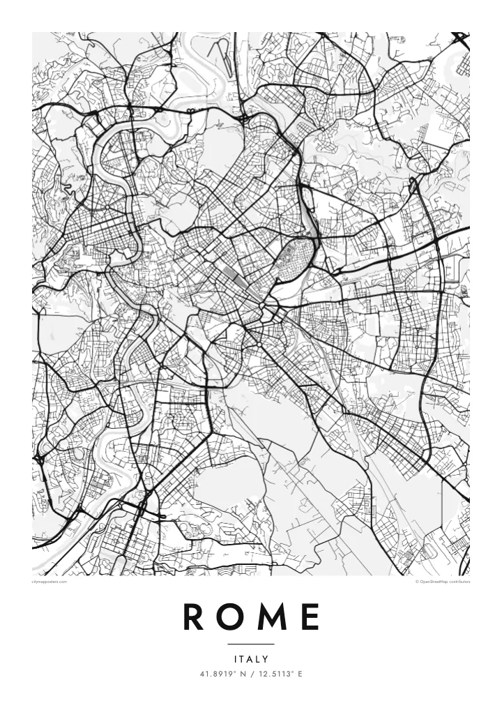
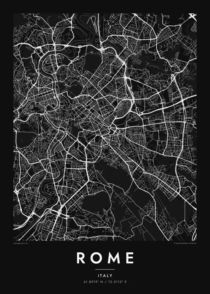
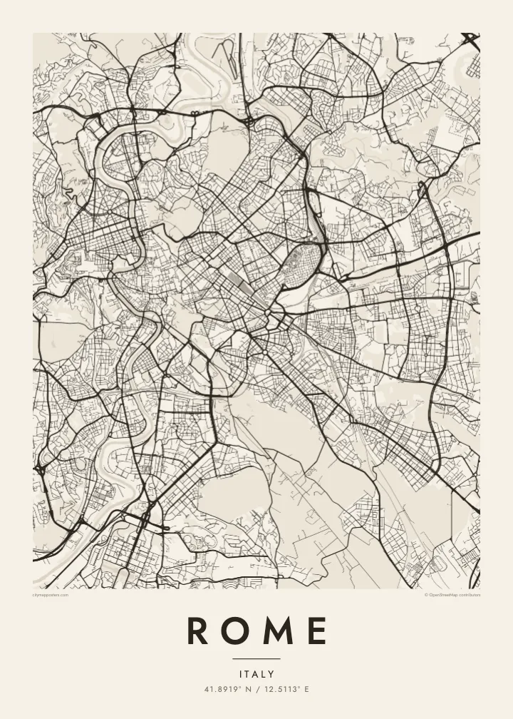
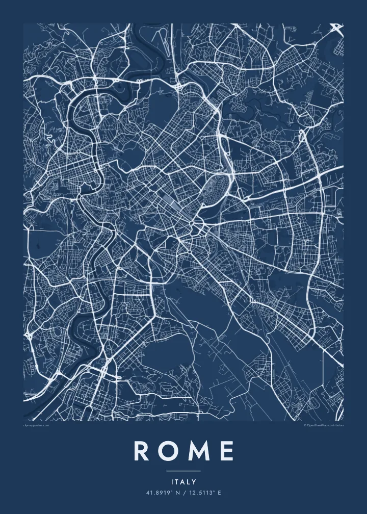
Ein býur, fimm stemningar
Trýst á ein stíl fyri at síggja hann á veggnum. Allir stílar kosta tað sama — sum prent, í ramma ella sum HD-fílur.
 Veruligar pixlar · 24 × 36″ prentfíla
Prentskarpt
Hetta er ein 100% útskurður av teirri veruligu prentfíluni. Hvør plakat — prentað, í ramma ella niðurhalað — verður gjørd á okkara ambætarum við 300 DPI, upp til 7,200 × 10,800 pixlar, so eisini tær smæstu gøtur halda seg skarpar á einum 24 × 36″ prenti.
Á veggnum


Kortið
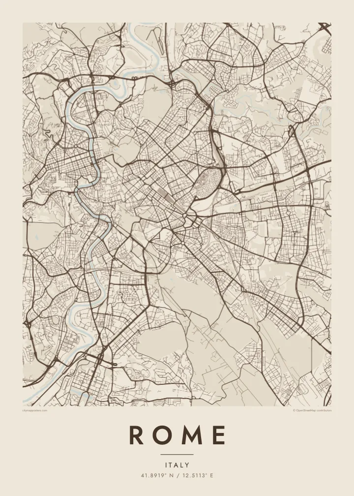
Rome grew from the hills beside the Tiber, and its street map still follows the landscape rather than a plan. The river loops through the city in a series of broad bends, curling around the Campo Marzio, where the Pantheon and Piazza Navona sit in a dense mesh of narrow streets. Just downstream, Tiber Island divides the current at one of the oldest crossing points of the river.
Traces of the ancient city remain legible from above. The Aurelian Walls still enclose much of the historic centre, the long open oval of the Circus Maximus lies between the Palatine and the Aventine, and the Colosseum marks an unmistakable ellipse. Across the river, Vatican City forms its own walled state, the smallest in the world, with St Peter's Square opening toward the Tiber.
Later popes and planners added straight lines to the tangle. From Piazza del Popolo, three streets fan south in a trident, with Via del Corso running straight to Piazza Venezia. Beyond the walls, the Grande Raccordo Anulare rings the city, and consular roads such as the Via Appia head outward. A Rome map poster shows every layer at once, from antiquity to the ring road.
The river crosses the city in a series of S-shaped curves, spanned by bridges from Roman to modern times, with Tiber Island sitting in the current like a stone boat.
Via di Ripetta, Via del Corso and Via del Babuino leave the northern gate of the old city in three straight lines, a Renaissance and Baroque gesture that still organises the centre.
The world's smallest independent state sits inside its own walls on the west bank of the Tiber, with the keyhole shape of St Peter's Square clearly visible even at poster scale.
Ger tað til títt
Legg ein dag, eitt navn ella egnan tekst afturat, skift stíl, stødd ella snið.
Ókeypis forskoðanin er í lágari upploysing og hevur vatnmerki. Prent og HD-fílur verða gjørdar við 300 DPI, upp til 7,200 × 10,800 px, uttan vatnmerki.
Hví Rome
Rome is a city people return to, often for reasons they cannot quite explain. Its map suits a honeymoon, a semester spent studying art, a family link to a particular quarter, or simply the memory of walking from one piazza to the next until the light turned gold.
Give the poster a title and date of your own, such as a neighbourhood, a name or the year of the trip, and choose from five styles: Classic black & white, Noir, Paper, Blueprint or Sand. Paper and Sand suit the warm stone of the city especially well.
Panta Rome-plakatið| Prentstødd | Upploysn | Fílur |
|---|---|---|
| 30 × 40 cm (11.8 × 15.7″) | 3,543 × 4,724 px | PNG · PDF |
| 29.7 × 42 cm (A3, 11.7 × 16.5″) | 3,508 × 4,961 px | PNG · PDF |
| 42 × 59.4 cm (A2, 16.5 × 23.4″) | 4,961 × 7,016 px | PNG · PDF |
| 45.7 × 61 cm (18 × 24″) | 5,400 × 7,200 px | PNG · PDF |
| 50 × 70 cm (19.7 × 27.6″) | 5,906 × 8,268 px | PNG · PDF |
| 61 × 91.4 cm (24 × 36″) | 7,200 × 10,800 px | PNG · PDF |
Til samanberingar er ókeypis forsýningin 900 px breið, við vatnmerki og ætlað til skerm. HD-fílurnar hava upp til 8 ferðir so høga upploysn í hvørja átt og verða prentaðar reint í fullari plakatstødd.
Vel ein stíl ovast á síðuni, og vel síðani Prentað Plakat — eina stødd og, um tú vil, eina ramma — ella Digital HD-Fílur. Tað tekur bara eitt stig at ganga til kassa, og pantanarsíðan tín dagførist so skjótt sum gjaldið er gjøgnumført.
Tað verður prentað á 200 gsm matt kvalitetspappír í einari av seks støddum, frá 30 × 40 cm til 24 × 36″. Prentaðar plakatir byrja á {printFrom}, sending íroknað.
Ja. Vel eina ramma av massivum træi í svørtum, hvítum, natúrligum eik ella dekkum træi. Hon kemur við glassi, sum ikki brotnar, og er klár at hongja upp. Plakatir í ramma byrja á {framedFrom}, sending íroknað.
Sending er ókeypis um allan heim. Hvør plakat verður prentað hjá næsta prentsamstarvsfelaga okkara í 30+ londum og kemur vanliga fram innan 3–7 arbeiðsdagar. Tú kanst fylgja støðuni og sporing undir Mínar pantanir. Í nøkrum fáum londum tekur tað 2–5 vikur, og har sum vit ikki senda enn, sigur vevsíðan frá tí, áðrenn tú rindar.
Send okkum eitt mynd innan 14 dagar eftir móttøku, og vit prenta tað umaftur ókeypis ella endurgjalda tær.
Ja. Í ritlinum á hesi síðu kanst tú broyta heitið, undirheitið og koordinatlinjuna til hvat sum helst, og velja stíl og stødd. Prentaðar, ramma- og digitalar pantanir brúka allar sama honnun, sum tú hevur gjørt.
Fyri $9 fært tú 300 DPI PNG- og prentklárar PDF-fílur í øllum seks støddum, uttan vatnmerki, so tú kanst prenta hvar sum helst. Ikki vís enn? Halda niður eina ókeypis forskoðan við vatnmerki fyrst.
