Fuji slopes
The west of the map rises towards the volcano through forest and open ground. The grid fades away as the land climbs higher.
Minimalistiskt kortplakat · Japan
35.3186° N / 138.9434° E
A town on the eastern foot of Mount Fuji, its streets spreading across long volcanic slopes and upland plains


Ein býur, fimm stemningar
Trýst á ein stíl fyri at síggja hann á veggnum. Allir stílar kosta tað sama — sum prent, í ramma ella sum HD-fílur.
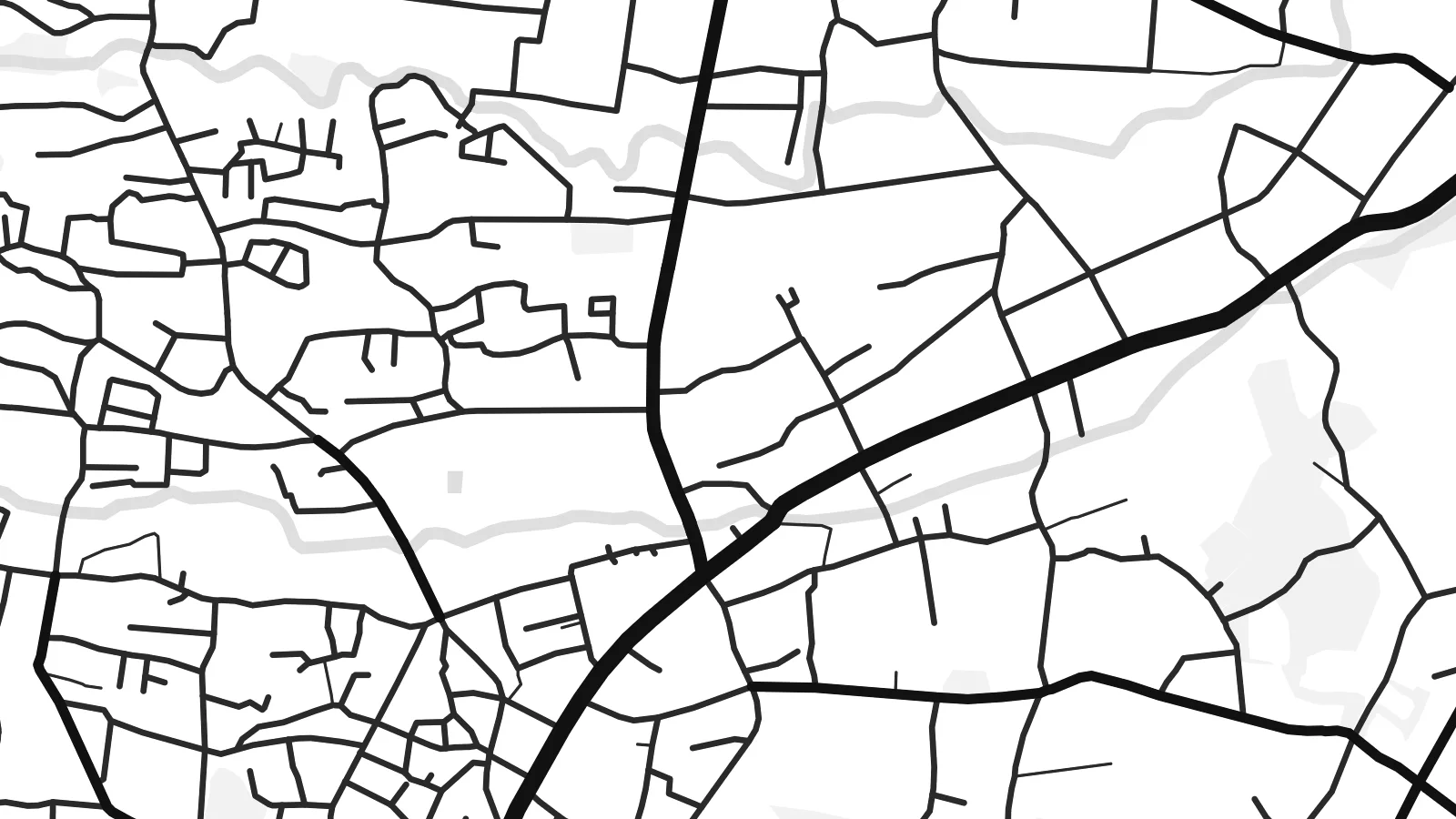 Veruligar pixlar · 24 × 36″ prentfíla
Prentskarpt
Hetta er ein 100% útskurður av teirri veruligu prentfíluni. Hvør plakat — prentað, í ramma ella niðurhalað — verður gjørd á okkara ambætarum við 300 DPI, upp til 7,200 × 10,800 pixlar, so eisini tær smæstu gøtur halda seg skarpar á einum 24 × 36″ prenti.
Á veggnum


Kortið
Gotemba lies on the eastern side of Mount Fuji, and the mountain shapes everything on its map. The town spreads across a sloping upland plain. Roads run upward towards the peak, and the land rises steadily to the west, where the streets thin out into forest, lava fields and open training grounds.
The centre forms around the station on the JR Gotemba Line and the old roads through the valley. Around it lie residential districts, farmland and the main expressway, which link the town to Tokyo and Nagoya. Big open areas to the north-west are military training land, including Camp Fuji, used by US forces.
Most visitors know Gotemba as the start of one of the Fuji climbing routes, or for its large premium outlet mall with views of the peak. A Gotemba map poster shows the town and its setting, with a built-up area spreading out below the huge, mostly empty slopes of Japan's highest mountain.
The west of the map rises towards the volcano through forest and open ground. The grid fades away as the land climbs higher.
One of the main climbing routes to the summit begins above the town. It links the streets directly to the mountain.
The Tomei Expressway and the local roads run through the valley. They draw long, sweeping lines that connect Gotemba with Tokyo and the Pacific coast.
Ger tað til títt
Legg ein dag, eitt navn ella egnan tekst afturat, skift stíl, stødd ella snið.
Ókeypis forskoðanin er í lágari upploysing og hevur vatnmerki. Prent og HD-fílur verða gjørdar við 300 DPI, upp til 7,200 × 10,800 px, uttan vatnmerki.
Hví Gotemba
Gotemba is a meaningful map for climbers who started their ascent there, for people who lived by the mountain, and for anyone who remembers Fuji appearing above the rooftops on a clear morning. It is a map of a place defined by what towers above it.
Add the date you reached the summit, or a simple title and subtitle, and adjust the coordinates line. Pick from Classic black & white, Noir, Paper, Blueprint and Sand. Digital files come in six sizes, and printed posters are shipped by partners in more than 30 countries.
Panta Gotemba-plakatið| Prentstødd | Upploysn | Fílur |
|---|---|---|
| 30 × 40 cm (11.8 × 15.7″) | 3,543 × 4,724 px | PNG · PDF |
| 29.7 × 42 cm (A3, 11.7 × 16.5″) | 3,508 × 4,961 px | PNG · PDF |
| 42 × 59.4 cm (A2, 16.5 × 23.4″) | 4,961 × 7,016 px | PNG · PDF |
| 45.7 × 61 cm (18 × 24″) | 5,400 × 7,200 px | PNG · PDF |
| 50 × 70 cm (19.7 × 27.6″) | 5,906 × 8,268 px | PNG · PDF |
| 61 × 91.4 cm (24 × 36″) | 7,200 × 10,800 px | PNG · PDF |
Til samanberingar er ókeypis forsýningin 900 px breið, við vatnmerki og ætlað til skerm. HD-fílurnar hava upp til 8 ferðir so høga upploysn í hvørja átt og verða prentaðar reint í fullari plakatstødd.
Vel ein stíl ovast á síðuni, og vel síðani Prentað Plakat — eina stødd og, um tú vil, eina ramma — ella Digital HD-Fílur. Tað tekur bara eitt stig at ganga til kassa, og pantanarsíðan tín dagførist so skjótt sum gjaldið er gjøgnumført.
Tað verður prentað á 200 gsm matt kvalitetspappír í einari av seks støddum, frá 30 × 40 cm til 24 × 36″. Prentaðar plakatir byrja á {printFrom}, sending íroknað.
Ja. Vel eina ramma av massivum træi í svørtum, hvítum, natúrligum eik ella dekkum træi. Hon kemur við glassi, sum ikki brotnar, og er klár at hongja upp. Plakatir í ramma byrja á {framedFrom}, sending íroknað.
Sending er ókeypis um allan heimin. Hvør plakat verður prentað av tí næstu av okkara prentpartnarum í 30+ londum og kemur vanliga innan 3–7 arbeiðsdagar. Tú kanst fylgja við støðu og sporing undir Mínar Pantanir.
Send okkum eitt mynd innan 14 dagar eftir móttøku, og vit prenta tað umaftur ókeypis ella endurgjalda tær.
Ja. Í ritlinum á hesi síðu kanst tú broyta heitið, undirheitið og koordinatlinjuna til hvat sum helst, og velja stíl og stødd. Prentaðar, ramma- og digitalar pantanir brúka allar sama honnun, sum tú hevur gjørt.
Fyri $9 fært tú 300 DPI PNG- og prentklárar PDF-fílur í øllum seks støddum, uttan vatnmerki, so tú kanst prenta hvar sum helst. Ikki vís enn? Halda niður eina ókeypis forskoðan við vatnmerki fyrst.
