Kilronan harbour
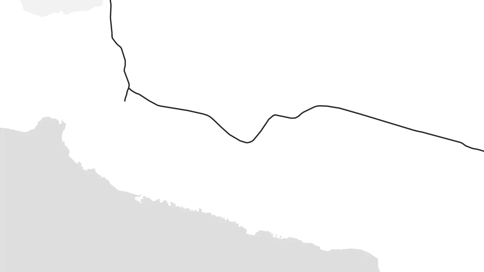
The ferry port on Killeany Bay is where most visitors arrive, and its pier and handful of streets form the densest cluster of lines anywhere on the island.
Minimalistiskt kortplakat · Írland
53.1202° N / 9.7297° W
A long limestone island across Galway Bay, laced with stone walls and ending in sheer Atlantic cliffs.


Ein býur, fimm stemningar
Trýst á ein stíl fyri at síggja hann á veggnum. Allir stílar kosta tað sama — sum prent, í ramma ella sum HD-fílur.
 Veruligar pixlar · 24 × 36″ prentfíla
Prentskarpt
Hetta er ein 100% útskurður av teirri veruligu prentfíluni. Hvør plakat — prentað, í ramma ella niðurhalað — verður gjørd á okkara ambætarum við 300 DPI, upp til 7,200 × 10,800 pixlar, so eisini tær smæstu gøtur halda seg skarpar á einum 24 × 36″ prenti.
Á veggnum


Kortið
Inis Mór is the largest of the Aran Islands, lying across the mouth of Galway Bay off the west coast of Ireland. From above it forms a long, slender wedge running northwest to southeast, with the land tilting gently down toward the bay on the north side and breaking off in high cliffs along the Atlantic shore to the south.
The ground is bare limestone, the same karst as the Burren on the mainland, and it is divided into countless small fields by hand-built dry stone walls. Kilronan, where the ferries arrive, is the main village, and a road threads the island's length, linking a string of small settlements along the sheltered northern side.
On the southern cliff edge stands Dún Aonghasa, a prehistoric stone fort whose curved walls open onto a sheer drop into the ocean. The island remains an Irish-speaking community. An Inis Mór map poster shows it all in one elongated form: road, harbour and villages to the north, and the long, unbroken line of cliffs to the south.
The ferry port on Killeany Bay is where most visitors arrive, and its pier and handful of streets form the densest cluster of lines anywhere on the island.
Small fields enclosed by dry stone walls cover much of the island; where they are mapped they appear as a delicate, irregular mesh across the pale limestone.
The prehistoric fort sits on the brink of the southern cliffs, which run almost the full length of the Atlantic side as one hard, uninterrupted edge.
Ger tað til títt
Legg ein dag, eitt navn ella egnan tekst afturat, skift stíl, stødd ella snið.
Ókeypis forskoðanin er í lágari upploysing og hevur vatnmerki. Prent og HD-fílur verða gjørdar við 300 DPI, upp til 7,200 × 10,800 px, uttan vatnmerki.
Hví Inis Mór
Inis Mór draws people who have cycled from Kilronan to the fort, families with roots in the Aran Islands and anyone who loves the far western edge of Ireland. It is a spare, windswept shape that asks for nothing more than a simple frame.
Write your own title and subtitle, add a date or the coordinates line, and choose from Classic black & white, Noir, Paper, Blueprint and Sand. Paper and Sand complement the pale limestone, while Noir sharpens the line of the cliffs.
Panta Inis Mór-plakatið| Prentstødd | Upploysn | Fílur |
|---|---|---|
| 30 × 40 cm (11.8 × 15.7″) | 3,543 × 4,724 px | PNG · PDF |
| 29.7 × 42 cm (A3, 11.7 × 16.5″) | 3,508 × 4,961 px | PNG · PDF |
| 42 × 59.4 cm (A2, 16.5 × 23.4″) | 4,961 × 7,016 px | PNG · PDF |
| 45.7 × 61 cm (18 × 24″) | 5,400 × 7,200 px | PNG · PDF |
| 50 × 70 cm (19.7 × 27.6″) | 5,906 × 8,268 px | PNG · PDF |
| 61 × 91.4 cm (24 × 36″) | 7,200 × 10,800 px | PNG · PDF |
Til samanberingar er ókeypis forsýningin 900 px breið, við vatnmerki og ætlað til skerm. HD-fílurnar hava upp til 8 ferðir so høga upploysn í hvørja átt og verða prentaðar reint í fullari plakatstødd.
Vel ein stíl ovast á síðuni, og vel síðani Prentað Plakat — eina stødd og, um tú vil, eina ramma — ella Digital HD-Fílur. Tað tekur bara eitt stig at ganga til kassa, og pantanarsíðan tín dagførist so skjótt sum gjaldið er gjøgnumført.
Tað verður prentað á 200 gsm matt kvalitetspappír í einari av seks støddum, frá 30 × 40 cm til 24 × 36″. Prentaðar plakatir byrja á $39, sending íroknað.
Ja. Vel eina ramma av massivum træi í svørtum, hvítum, natúrligum eik ella dekkum træi. Hon kemur við glassi, sum ikki brotnar, og er klár at hongja upp. Plakatir í ramma byrja á $99, sending íroknað.
Sending er ókeypis um allan heim. Hvør plakat verður prentað hjá næsta prentsamstarvsfelaga okkara í 30+ londum og kemur vanliga fram innan 3–7 arbeiðsdagar. Tú kanst fylgja støðuni og sporing undir Mínar pantanir. Í nøkrum fáum londum tekur tað 2–5 vikur, og har sum vit ikki senda enn, sigur vevsíðan frá tí, áðrenn tú rindar.
Send okkum eitt mynd innan 14 dagar eftir móttøku, og vit prenta tað umaftur ókeypis ella endurgjalda tær.
Ja. Í ritlinum á hesi síðu kanst tú broyta heitið, undirheitið og koordinatlinjuna til hvat sum helst, og velja stíl og stødd. Prentaðar, ramma- og digitalar pantanir brúka allar sama honnun, sum tú hevur gjørt.
Fyri $9 fært tú 300 DPI PNG- og prentklárar PDF-fílur í øllum seks støddum, uttan vatnmerki, so tú kanst prenta hvar sum helst. Ikki vís enn? Halda niður eina ókeypis forskoðan við vatnmerki fyrst.
