Shrine forests
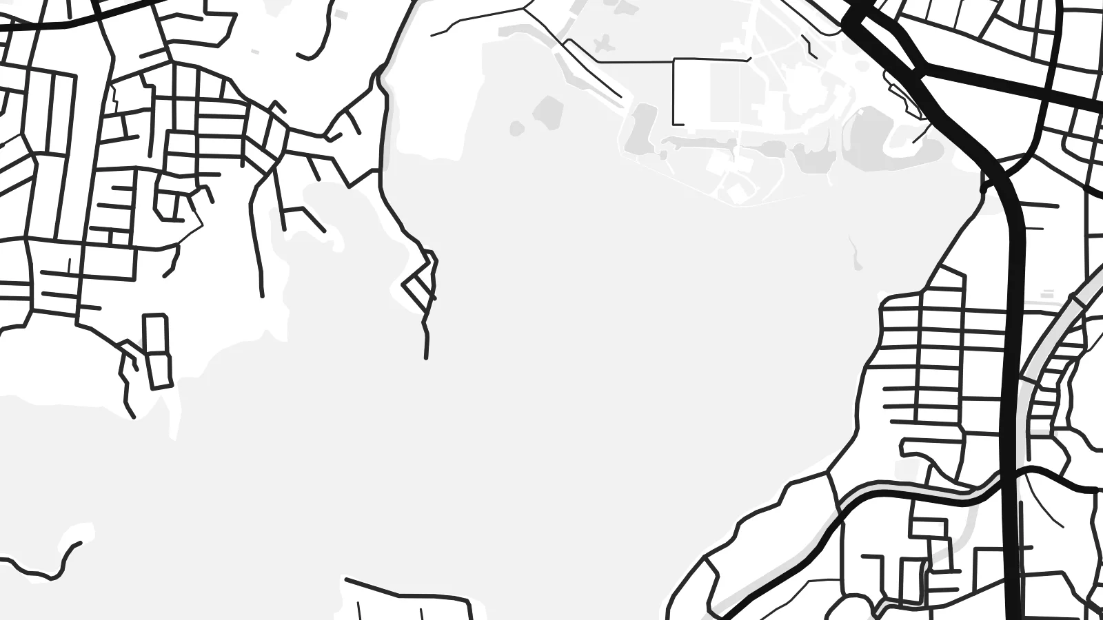
The grounds of Naikū and Gekū appear as broad open areas surrounded by streets. They are some of the largest calm shapes on the map, and they anchor the whole composition.
Minimalistiskt kortplakat · Japan
34.4833° N / 136.7000° E
A shrine city between forested hills and Ise Bay, laid out along two rivers and the old pilgrim roads.


Ein býur, fimm stemningar
Trýst á ein stíl fyri at síggja hann á veggnum. Allir stílar kosta tað sama — sum prent, í ramma ella sum HD-fílur.
 Veruligar pixlar · 24 × 36″ prentfíla
Prentskarpt
Hetta er ein 100% útskurður av teirri veruligu prentfíluni. Hvør plakat — prentað, í ramma ella niðurhalað — verður gjørd á okkara ambætarum við 300 DPI, upp til 7,200 × 10,800 pixlar, so eisini tær smæstu gøtur halda seg skarpar á einum 24 × 36″ prenti.
Á veggnum


Kortið
Ise lies in Mie Prefecture on the Kii Peninsula, between Ise Bay to the north and steep, wooded hills to the south. The Miyagawa and Isuzu rivers cross the plain, and the city's streets follow the routes that pilgrims walked for centuries between the two main precincts of the Ise Grand Shrine.
The shrine is among the most important sites in Shinto. Its inner shrine, Naikū, is dedicated to the sun goddess Amaterasu, and the outer shrine, Gekū, stands closer to the city centre. The main shrine buildings are traditionally rebuilt every twenty years. The coastal district of Futami, known for the paired Meoto Iwa rocks, is also part of the city.
An Ise map poster shows a clear contrast. Dense streets gather near the railway stations and along the old approach to Naikū, while the shrine forests appear as large unbroken areas. Rivers wind through the middle, and the bay shore forms a long northern edge.
The grounds of Naikū and Gekū appear as broad open areas surrounded by streets. They are some of the largest calm shapes on the map, and they anchor the whole composition.
Two rivers cross the city on their way to the bay. They add flowing lines through the grid, and the Isuzu passes right beside the inner shrine.
Ise Bay forms the northern boundary. It gives the poster a long shoreline, and the Futami coast lies towards its eastern end.
Ger tað til títt
Legg ein dag, eitt navn ella egnan tekst afturat, skift stíl, stødd ella snið.
Ókeypis forskoðanin er í lágari upploysing og hevur vatnmerki. Prent og HD-fílur verða gjørdar við 300 DPI, upp til 7,200 × 10,800 px, uttan vatnmerki.
Hví Ise
A visit to Ise is often a meaningful one, whether as a pilgrimage, a family trip or a first encounter with Shinto architecture. A map of the city is a quiet reminder of that visit.
Add the date of your visit to the subtitle, edit the coordinates line if you like, and pick from five styles, including the cool Blueprint and the dark Noir. The HD files cover six print sizes, from A3 up to 24×36″.
Panta Ise-plakatið| Prentstødd | Upploysn | Fílur |
|---|---|---|
| 30 × 40 cm (11.8 × 15.7″) | 3,543 × 4,724 px | PNG · PDF |
| 29.7 × 42 cm (A3, 11.7 × 16.5″) | 3,508 × 4,961 px | PNG · PDF |
| 42 × 59.4 cm (A2, 16.5 × 23.4″) | 4,961 × 7,016 px | PNG · PDF |
| 45.7 × 61 cm (18 × 24″) | 5,400 × 7,200 px | PNG · PDF |
| 50 × 70 cm (19.7 × 27.6″) | 5,906 × 8,268 px | PNG · PDF |
| 61 × 91.4 cm (24 × 36″) | 7,200 × 10,800 px | PNG · PDF |
Til samanberingar er ókeypis forsýningin 900 px breið, við vatnmerki og ætlað til skerm. HD-fílurnar hava upp til 8 ferðir so høga upploysn í hvørja átt og verða prentaðar reint í fullari plakatstødd.
Vel ein stíl ovast á síðuni, og vel síðani Prentað Plakat — eina stødd og, um tú vil, eina ramma — ella Digital HD-Fílur. Tað tekur bara eitt stig at ganga til kassa, og pantanarsíðan tín dagførist so skjótt sum gjaldið er gjøgnumført.
Tað verður prentað á 200 gsm matt kvalitetspappír í einari av seks støddum, frá 30 × 40 cm til 24 × 36″. Prentaðar plakatir byrja á {printFrom}, sending íroknað.
Ja. Vel eina ramma av massivum træi í svørtum, hvítum, natúrligum eik ella dekkum træi. Hon kemur við glassi, sum ikki brotnar, og er klár at hongja upp. Plakatir í ramma byrja á {framedFrom}, sending íroknað.
Sending er ókeypis um allan heimin. Hvør plakat verður prentað av tí næstu av okkara prentpartnarum í 30+ londum og kemur vanliga innan 3–7 arbeiðsdagar. Tú kanst fylgja við støðu og sporing undir Mínar Pantanir.
Send okkum eitt mynd innan 14 dagar eftir móttøku, og vit prenta tað umaftur ókeypis ella endurgjalda tær.
Ja. Í ritlinum á hesi síðu kanst tú broyta heitið, undirheitið og koordinatlinjuna til hvat sum helst, og velja stíl og stødd. Prentaðar, ramma- og digitalar pantanir brúka allar sama honnun, sum tú hevur gjørt.
Fyri $9 fært tú 300 DPI PNG- og prentklárar PDF-fílur í øllum seks støddum, uttan vatnmerki, so tú kanst prenta hvar sum helst. Ikki vís enn? Halda niður eina ókeypis forskoðan við vatnmerki fyrst.
