Checkerboard historic centre
The old town is a regular grid of straight streets meeting at right angles, one of the clearest planned layouts of any port city in the region.
Minimalistiskt kortplakat · Ukraina
46.4857° N / 30.7438° E
A port city laid out on a strict grid above the Black Sea, its streets ending abruptly at cliffs, harbour piers and long sandy beaches.


Ein býur, fimm stemningar
Trýst á ein stíl fyri at síggja hann á veggnum. Allir stílar kosta tað sama — sum prent, í ramma ella sum HD-fílur.
 Veruligar pixlar · 24 × 36″ prentfíla
Prentskarpt
Hetta er ein 100% útskurður av teirri veruligu prentfíluni. Hvør plakat — prentað, í ramma ella niðurhalað — verður gjørd á okkara ambætarum við 300 DPI, upp til 7,200 × 10,800 pixlar, so eisini tær smæstu gøtur halda seg skarpar á einum 24 × 36″ prenti.
Á veggnum

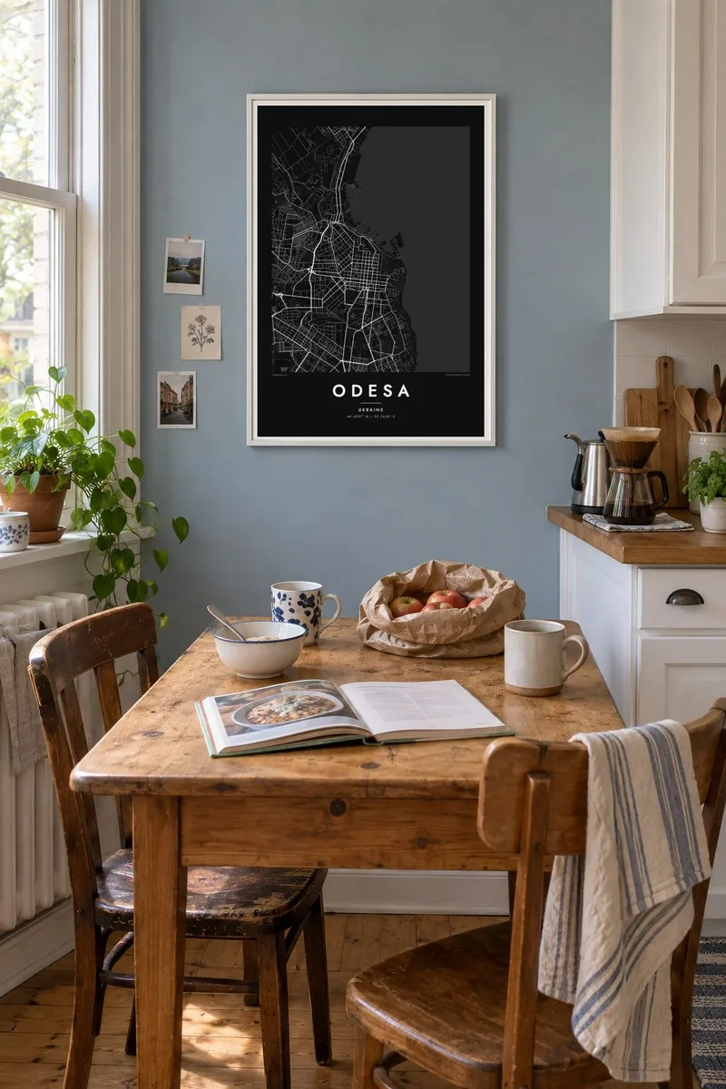
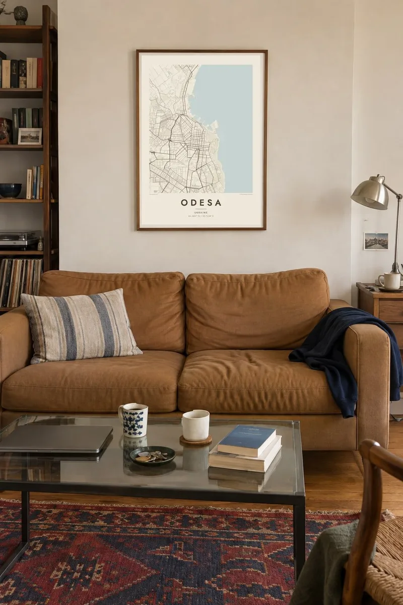
Kortið
Seen from above, Odesa is one of the most legible cities on the Black Sea coast. Its historic centre is a tight orthogonal grid, planned at the end of the eighteenth century after an imperial decree of 1794 founded a new port here. Straight streets run inland from the bluff above the harbour and cross at right angles, giving the old town a checkerboard look that you can recognise at a glance.
Along the edge of that grid, the land drops toward the port. Piers, breakwaters and cargo basins push out into the bay, and a green belt of parks and slopes separates the upper city from the water. To the south, the coastline softens into a string of beaches, from Lanzheron past Arcadia, while to the north the long, narrow limans, flooded river estuaries, cut deep into the land.
An Odesa map poster shows how deliberate the city was from the start: a planned grid set against an irregular coast. The historic centre was added to the UNESCO World Heritage List in 2023, and the famous stairway linking the upper boulevard to the port appears as a short, precise line between the two levels of the city.
The old town is a regular grid of straight streets meeting at right angles, one of the clearest planned layouts of any port city in the region.
Piers, basins and protective moles extend from below the bluff into Odesa Bay, drawing hard geometric shapes against the open water of the Black Sea.
Narrow estuary lakes such as Khadzhibey and Kuyalnyk reach inland from the coast, long pale shapes that frame the city's northern edge on the map.
Ger tað til títt
Legg ein dag, eitt navn ella egnan tekst afturat, skift stíl, stødd ella snið.
Ókeypis forskoðanin er í lágari upploysing og hevur vatnmerki. Prent og HD-fílur verða gjørdar við 300 DPI, upp til 7,200 × 10,800 px, uttan vatnmerki.
Hví Odesa
Odesa means the sea, a particular summer, a family story that started in one of those courtyards. A map of its grid holds all of that quietly, without needing a photograph. It suits a hallway or a study, and it reads as clearly from across the room as it does up close.
You can set your own title, add a subtitle with a date or a street name, and edit the coordinates line. Choose from five styles, Classic black & white, Noir, Paper, Blueprint or Sand, and order a $9 HD file or a printed poster, framed if you like.
Panta Odesa-plakatið| Prentstødd | Upploysn | Fílur |
|---|---|---|
| 30 × 40 cm (11.8 × 15.7″) | 3,543 × 4,724 px | PNG · PDF |
| 29.7 × 42 cm (A3, 11.7 × 16.5″) | 3,508 × 4,961 px | PNG · PDF |
| 42 × 59.4 cm (A2, 16.5 × 23.4″) | 4,961 × 7,016 px | PNG · PDF |
| 45.7 × 61 cm (18 × 24″) | 5,400 × 7,200 px | PNG · PDF |
| 50 × 70 cm (19.7 × 27.6″) | 5,906 × 8,268 px | PNG · PDF |
| 61 × 91.4 cm (24 × 36″) | 7,200 × 10,800 px | PNG · PDF |
Til samanberingar er ókeypis forsýningin 900 px breið, við vatnmerki og ætlað til skerm. HD-fílurnar hava upp til 8 ferðir so høga upploysn í hvørja átt og verða prentaðar reint í fullari plakatstødd.
Vel ein stíl ovast á síðuni, og vel síðani Prentað Plakat — eina stødd og, um tú vil, eina ramma — ella Digital HD-Fílur. Tað tekur bara eitt stig at ganga til kassa, og pantanarsíðan tín dagførist so skjótt sum gjaldið er gjøgnumført.
Tað verður prentað á 200 gsm matt kvalitetspappír í einari av seks støddum, frá 30 × 40 cm til 24 × 36″. Prentaðar plakatir byrja á {printFrom}, sending íroknað.
Ja. Vel eina ramma av massivum træi í svørtum, hvítum, natúrligum eik ella dekkum træi. Hon kemur við glassi, sum ikki brotnar, og er klár at hongja upp. Plakatir í ramma byrja á {framedFrom}, sending íroknað.
Sending er ókeypis um allan heimin. Hvør plakat verður prentað av tí næstu av okkara prentpartnarum í 30+ londum og kemur vanliga innan 3–7 arbeiðsdagar. Tú kanst fylgja við støðu og sporing undir Mínar Pantanir.
Send okkum eitt mynd innan 14 dagar eftir móttøku, og vit prenta tað umaftur ókeypis ella endurgjalda tær.
Ja. Í ritlinum á hesi síðu kanst tú broyta heitið, undirheitið og koordinatlinjuna til hvat sum helst, og velja stíl og stødd. Prentaðar, ramma- og digitalar pantanir brúka allar sama honnun, sum tú hevur gjørt.
Fyri $9 fært tú 300 DPI PNG- og prentklárar PDF-fílur í øllum seks støddum, uttan vatnmerki, so tú kanst prenta hvar sum helst. Ikki vís enn? Halda niður eina ókeypis forskoðan við vatnmerki fyrst.
